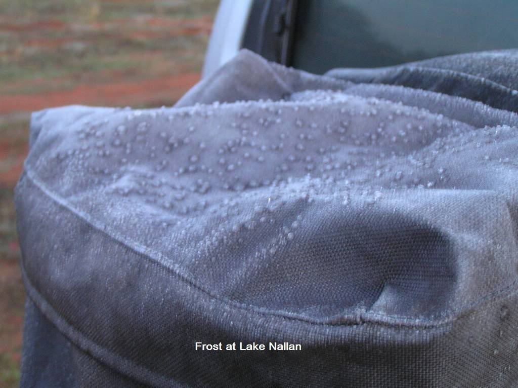
I was using the “priceless campsites of north WA” as my overnight camp reference. We pulled into Lake Nallan north of cue about 4pm after travelling about 700km’s for the day. The night was cool but the morning was cooler. I had frost on the tent roof, Ice on the windscreen and balls of condensation about 3mm in diameter had frozen on my rear wheel rubbish bag. It was a slow start to the day and we headed north about 930am
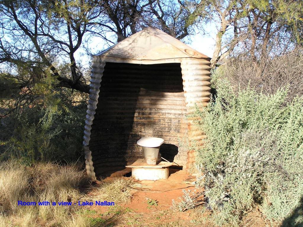
Lake Nallan room with a view
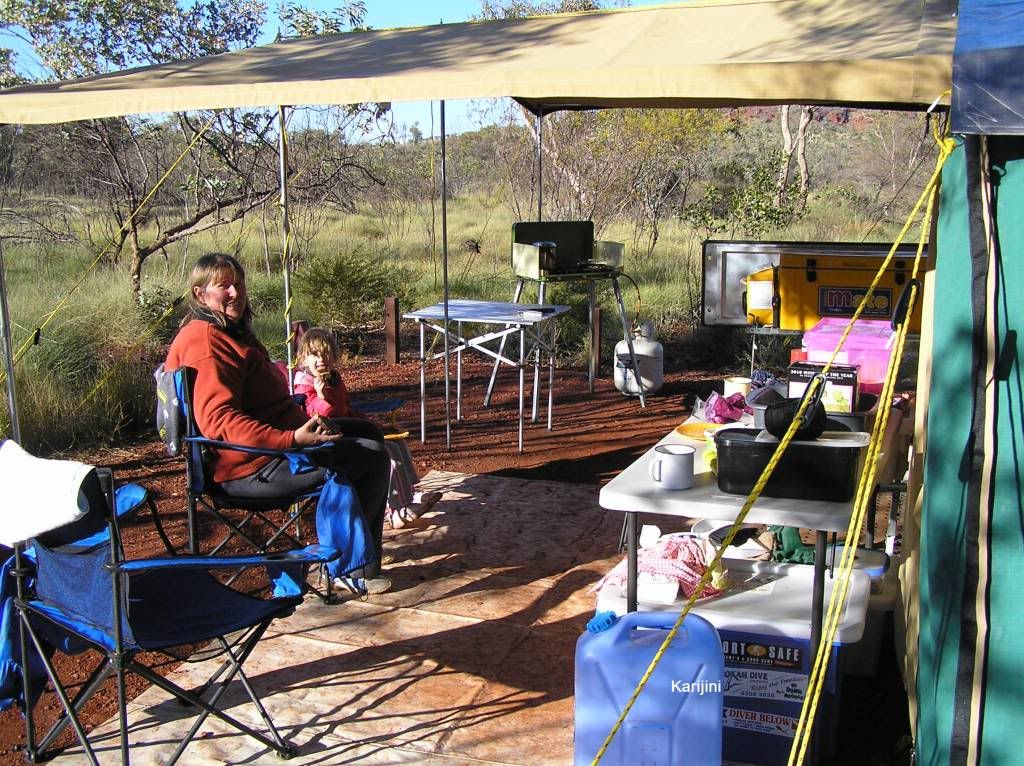
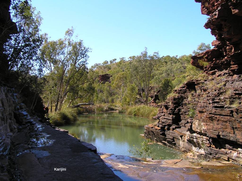
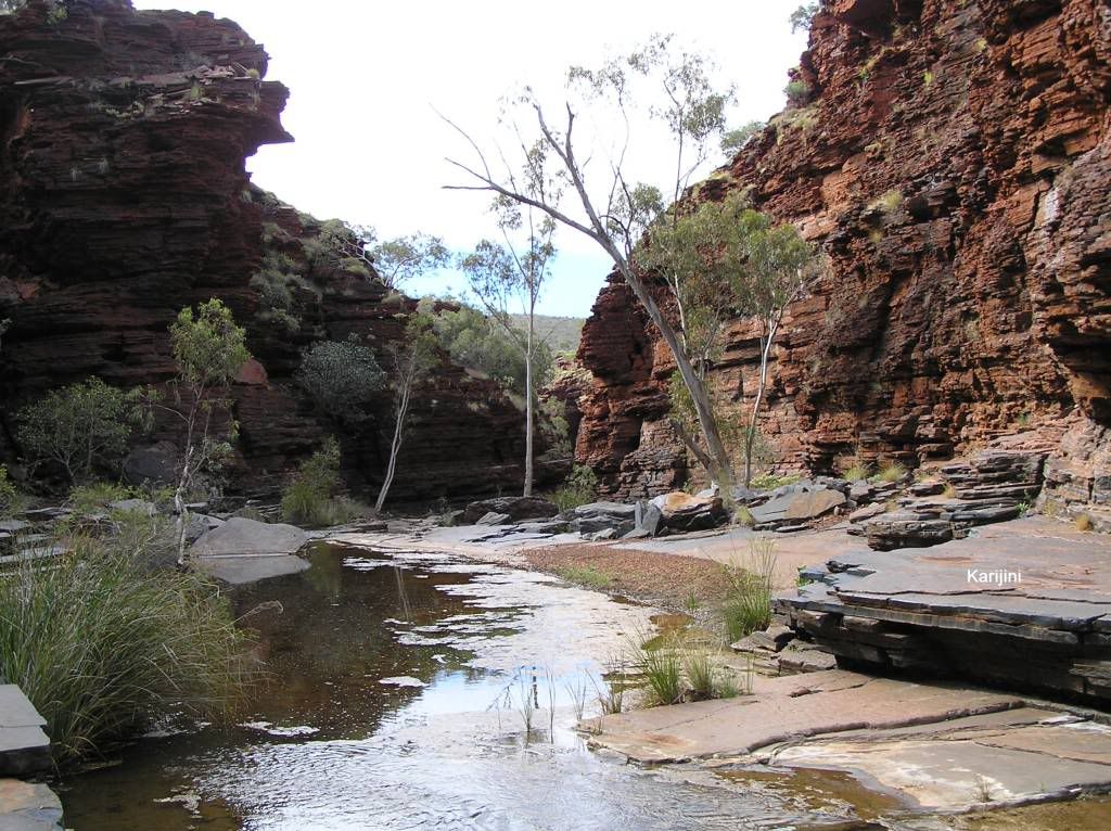
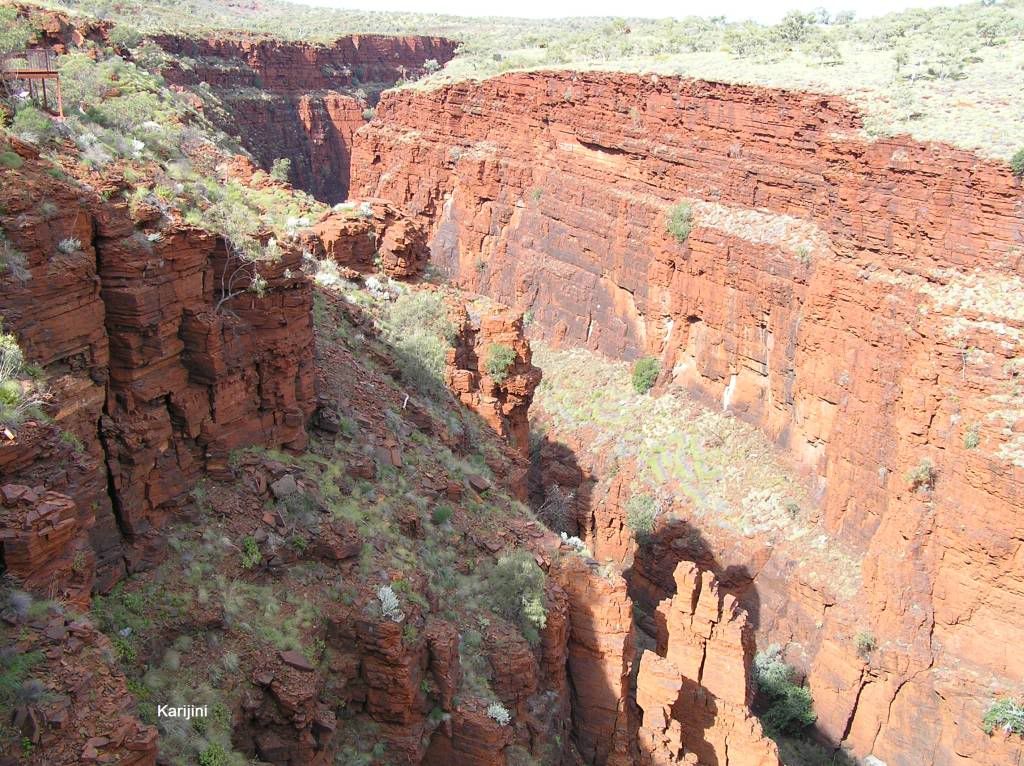
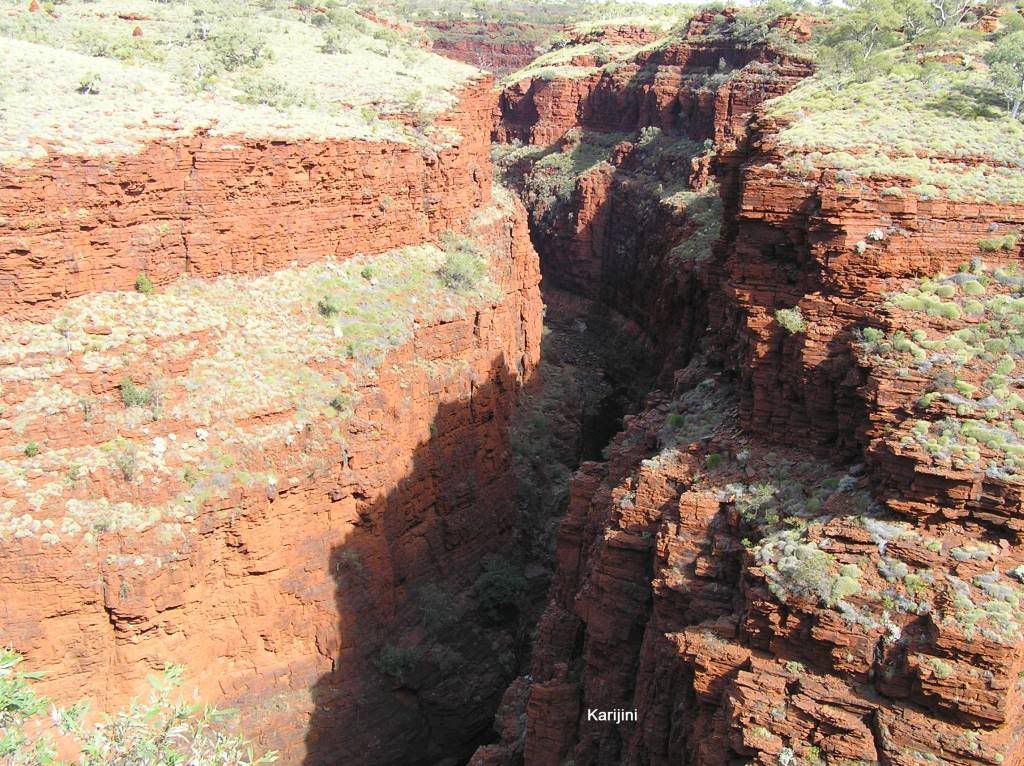
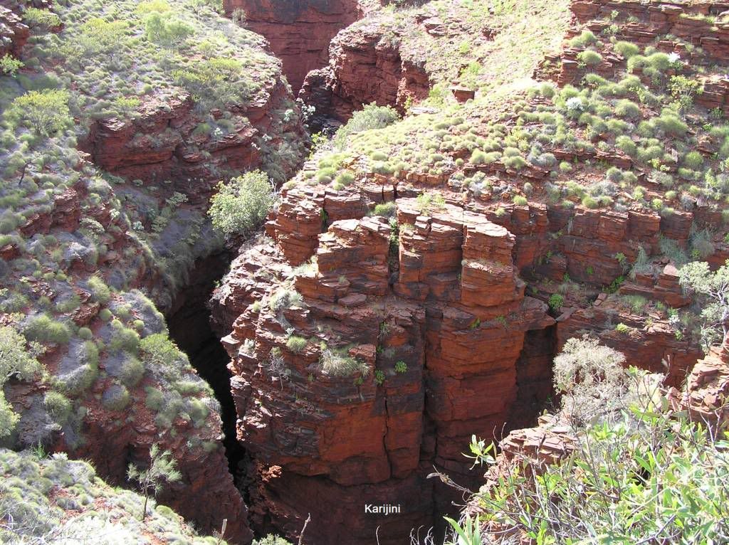
600 K’s later and 2 refuel stops had me check a spot from the bible. Wanna Munna is a creek bed 76K’s north of Newman about 1km down a rutted dirt track off the main highway. Upon getting down there we found the camp was occupied (this scenario stayed with us all through WA and was the most disappointing thing about the whole trip). We had a chat to the campers and decided to push past them about 50M and camp on the river bed. Negotiating the trailer around the ruts and large rocks was interesting. Then after having dinner, we joined the fellow campers around their fire. At 8.30pm it started to rain so we all buried ourselves in our respective camp headquarters. I had to supply the dude in a swag a tarp from my trailer. Lucky for him, it didn’t stop raining all night. Sometime in the early hours, the little un cried out – “I’m all wet”. The budget camper top isn’t too waterproof when the water pools in the roof section. So she spent the night with us in “lamington Heights”. The rain didn’t let up and we packed up in the rain without breakfast and headed for Karijini. We didn’t get to check out the aboriginal rock carvings which was a bummer. At Karijini, the rain had stopped but the clouds hadn’t parted. I elected to put a tarp over the roof of the camper where we stayed at Dales campground. A quick view of circular pool and some tourists swimming in it was interesting. From there we checked out Fortescue falls lookout. The following day the sun appeared but it was quite cool due to the wind. This was to be the little un’s first test of endurance, going down into Kalimina gorge. She amazed us by going the whole way down and even marched back up the hill coming out. The colours of a local grasshopper was amazing down in the gorge
After lunch we drove out to Weano gorge. The dirt road was crap to say the least. The corrugations were every bit as bad as the poor sections of the Gibb River Road. You could spend a couple of days easy exploring these gorges, but we didn’t attempt them due to the little un. A pity really. The view from above was spectacular, I can only imagine what it was like down below.
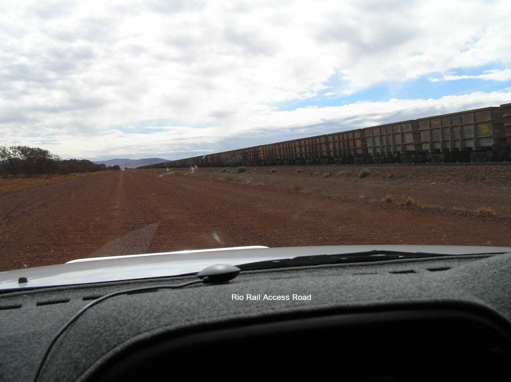
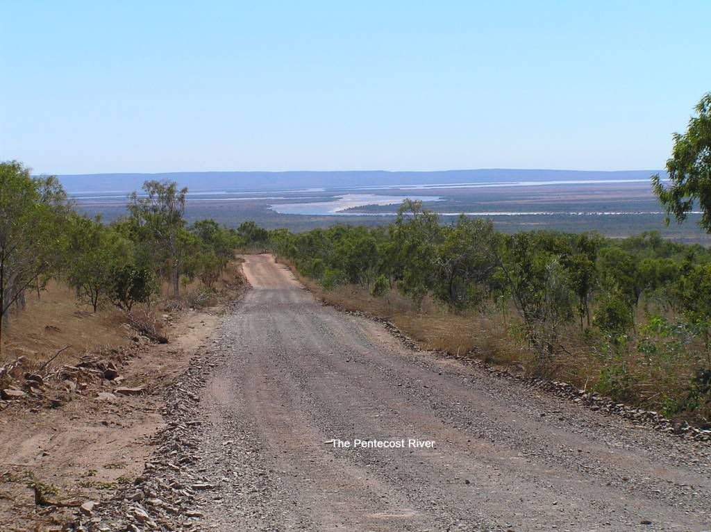
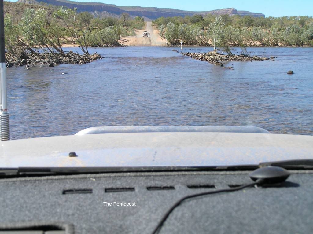
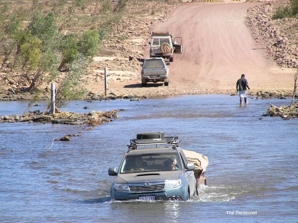
The following day we packed the trailer and headed for Tom Price. I needed to obtain a permit to travel the Tom Price Rail Access road to get us into Millstream NP. I noted 2 old ladies (reminded me of 2 nuns actually) in a soft roader with a converted 6x4 with a tent on top. Good on em I reckon to myself. And bugger me if I didn’t see them crossing the Pentecost on the Gibb some 3 ½ weeks later. After an hour I have my permit and fill of pepper steak pies from the bakery and off we head for Millstream. On the whole the rail access road was good. A couple of small corrugated sections and dips to negotiate, but generally pretty good.
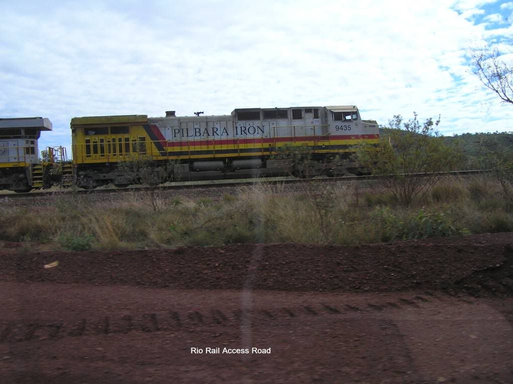
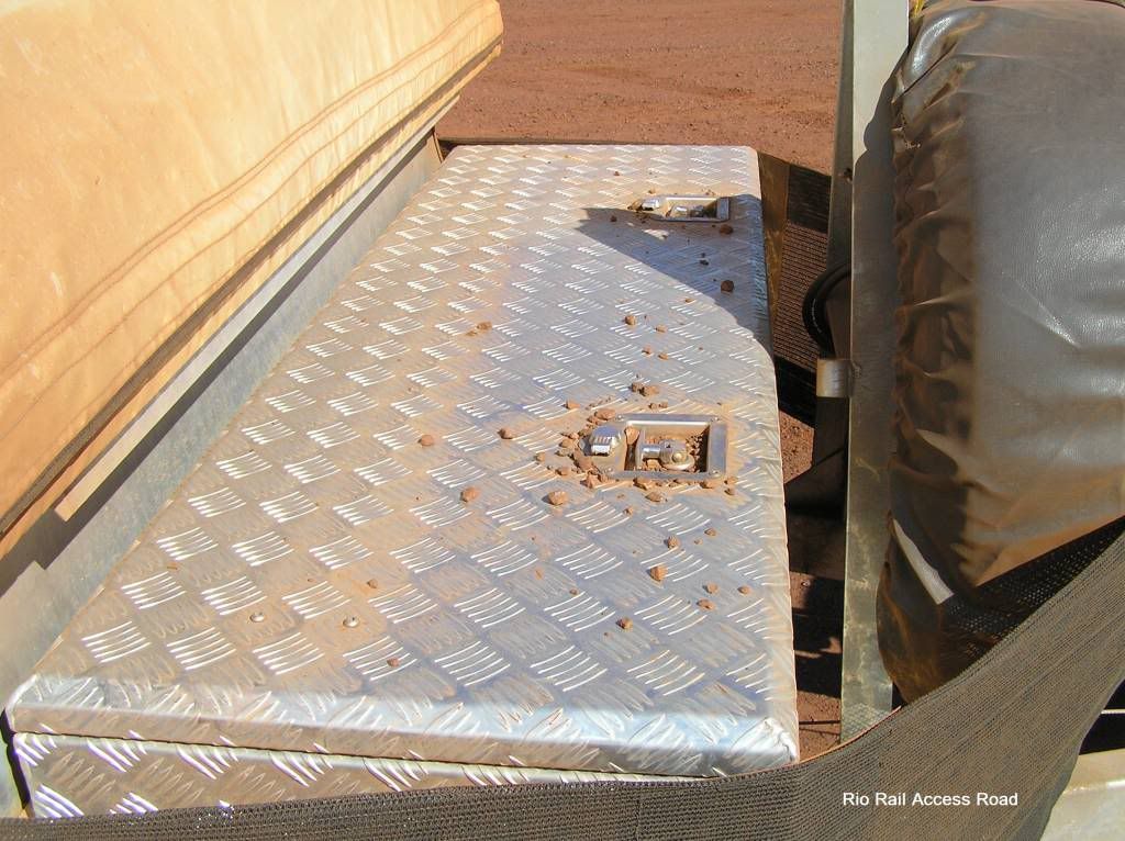
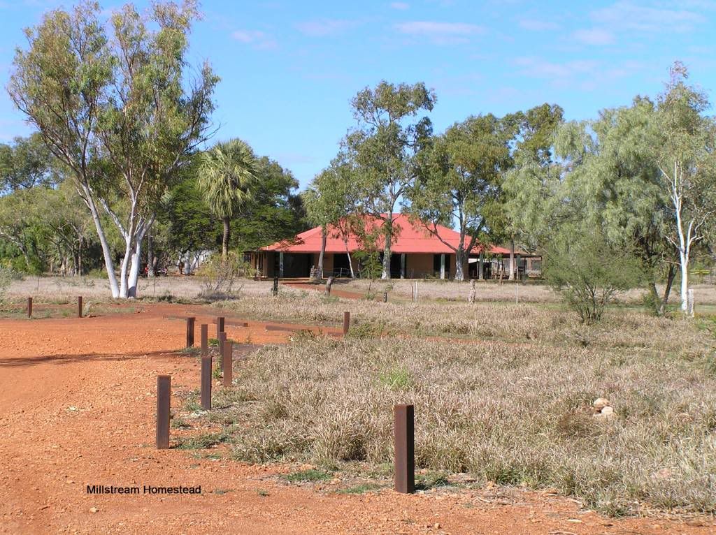
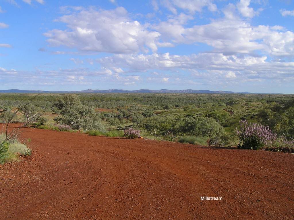
This all becomes relative when you return from your trip as you find out what a good and bad road really is. Turning onto the Panawonica road led us to a very rough trip into Millstream. This was the start of me getting covered in dust everytime I packed or unpacked the trailer cover. In the end I just gave up and faced the fact I would be dirty by the end of it. There are distinct advantages in having a hard floor unit. We had a water crossing to negotiate going into millstream. We had a large python at the waters edge that we watched for some time before crossing. It was here the ranger recommended we stay at the homestead campground. Whilst it was good with a camp kitchen, upon investigation the following day, I believe crossing pool to be the far more picturesque site to camp at, even if a lot smaller. At least you could swim there. The thermal pool at the homestead is now subject to being a sacred site and no swimming is allowed. It makes you wonder when a lot of tax payers dollars were spent on “meeting places” for local elders at the homestead to discuss native issues, and they have only been used a couple of times in the years since they were built.
Snappy gum drive from crossing pool to the homestead is very picturesque and a worthy route to take.
We left Millstream via python pool and snake gully campground. I personally wouldn’t bother camping there as its very small, isolated and the only thing of note in the vicinity is Python pool. But its a nice drive with lots of scenery especially if you need to get a shot of tit hill ;)
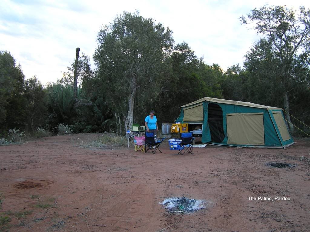
We refuelled in Hedland and continued north to a private camp from the bible “the Palms”, Pardoo. A nice free camp, even if we had to listen to the road trains all night
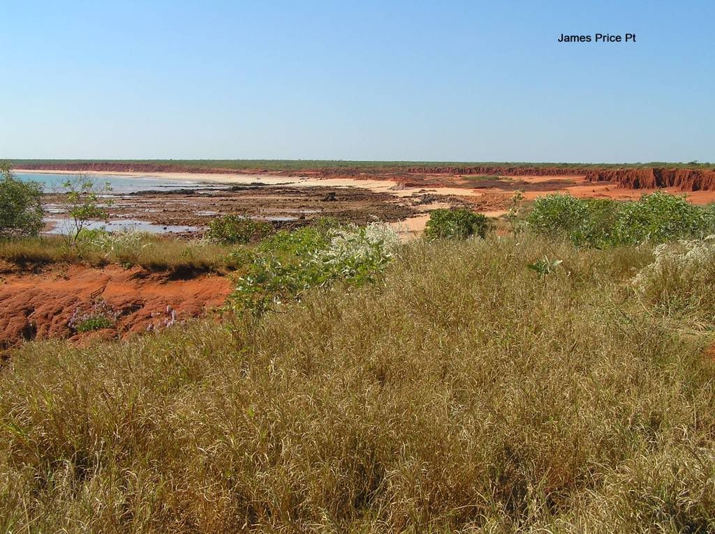
Interestingly, in the dark I kept seeing this glistening like a diamond reflecting light on the ground. Curiosity got the better of me and I looked a bit deeper. The glistening was the eyes of a small spider. I don’t know if it was due to the frequency of the led light from the hedlamp or not, but this phenomenon continued throughout the trip. In the morning, we hi-tailed it into Broome. We arrived in Broome about 3pm and headed to the flash new visitor center that wasn’t there 5 years ago. I’ve been to Broome in the wet and at the start of the tourist season before, but mid tourist season and school holidays start made it a rat race. Just about all accommodation was taken and we managed to squeeze into a spot at an overflow park, the pistol club. It may not have been as salubrious as the parks with pools and facilities, but it was a good place to stay for 3 days anyhow. Unfortunately I couldn’t catch up with a fellow paj member as he was away, but I did catch up with 2 workmates and a local we know. The following day I did a nostalga trip up the Dampier peninsular. 20 years back I spent a lot of time up this part of the world. Willie creek is still as picturesque as ever. Had a look at the site they will wreck with a gas hub at Prices point
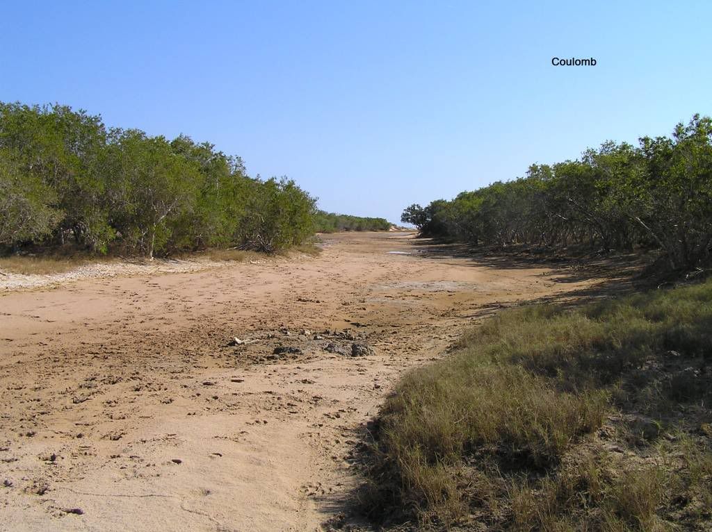
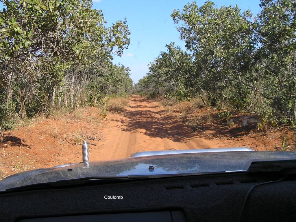
I wanted to go all the way to Manari, but at Coulomb point, the bush closed in and I wasn’t sure how bad it would get. So we had lunch at a creek crossing I got stuck in some 20 years ago in a Lada Niva (anyone remember those?) and returned to town.
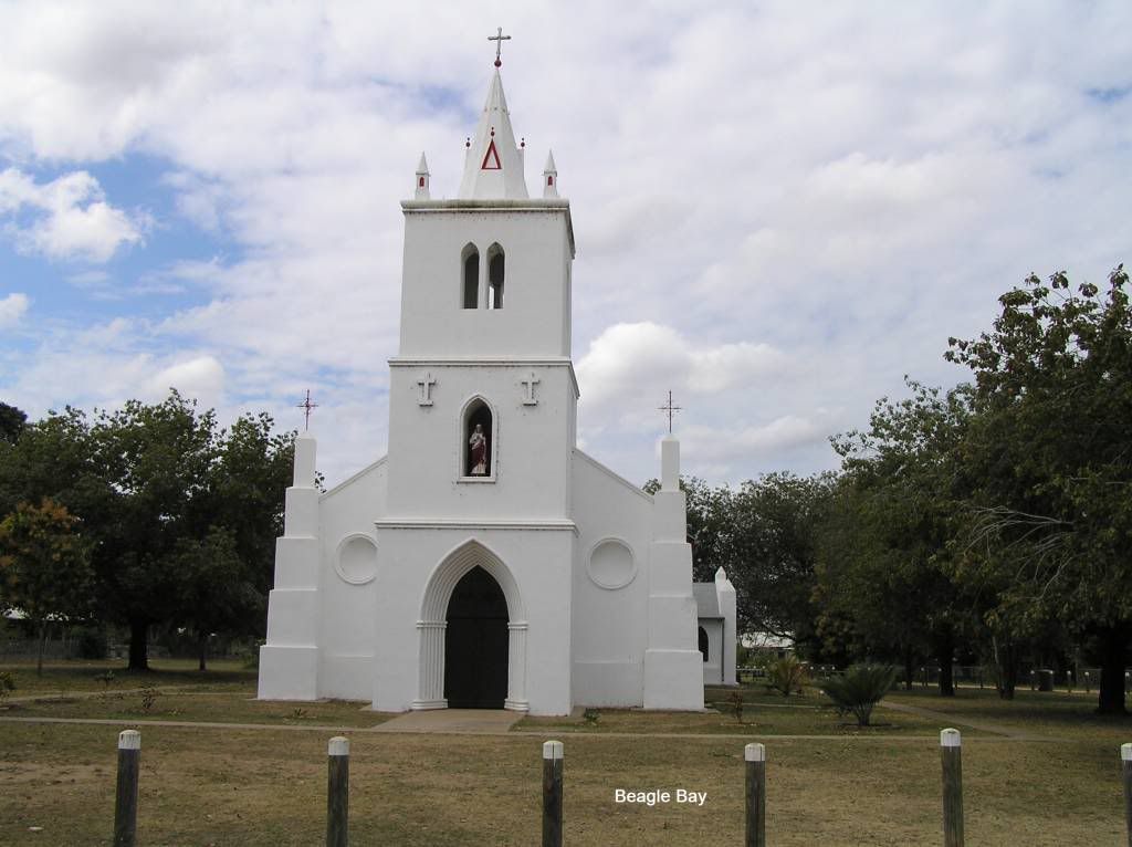
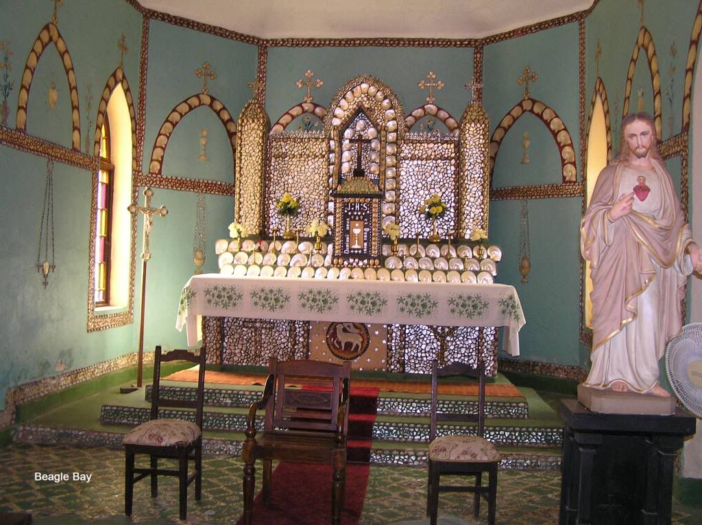
The following day we spent close to town, showed the young un the (replica) dinosaur footprints (the tides were against us for the real McCoy) the jetty, some shopping to replenish stocks etc. I should have bought another cask of red at the time cause I ran out on the gibb. I even had to have beer rations due to my incompetence of consumption planning on the gibb The following day it was time for Cape Leveque. If it wasn’t for the fact that 100Km’s was harsh dirt road, you’d be forgiven for thinking it was the hume between Sydney and Melbourne. There was just so much traffic it wasn’t funny. Some poor sod had an axle nut come off his CT and was parked up with an axle minus bearings, hub and wheel. Get caught behind a slow mover and the dust was horrendous. I had to pass a couple of trucks. Just shy of beagle bay and you get some relief by having bitumen. So a stop in to see the church lined in mother of pearl is a must
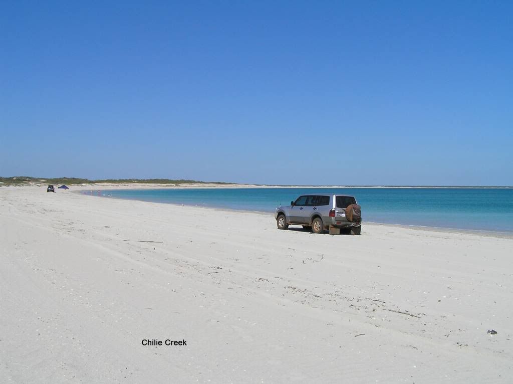
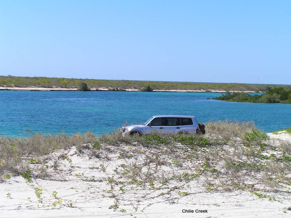
Not knowing directly any good spots to park up, I drove into Chilie Creek. Some of the sand tracks leading in had me wondering if I made the right choice with the CT on the rear, but apart from 1 large unseen dip I hit at speed, it was fine. And it was a good choice too. I think all the cape was full of people except for Chilie Creek. The local indigenous were very helpful and friendly. The only issue for me was either the sand flies or mozzies. After leaving there 3 days later, I nearly had to pull my legs off one night due to the scratching and itching I suffered. And that was after using coils round the camp at night and spraying religiously. The trip down to the beach was very soft in one part. I wondered if my 30pound slung D694’s would handle the pace. They did. Some pics and shell collecting and I decided to check the creek out. Missing the turn off I had to traverse the soft section again, without issue then go through a 3rd time. Some pics at the creek and a bit of a look around and on the 4th go it stopped. Bugger, I was down on the belly plates out of wheel travel. So some air removal and sand scooping in 32deg direct sunshine I tried reverse. I got just the slightest hint of creep so I held the revs. Eventually the sand stopped being flung over the roof and I got some traction and was moving. Going forward with less air, more revs and more momentum meant I didn’t get stuck again. But the ruts were too deep with my belly plates on the ridge for me to go down there again.
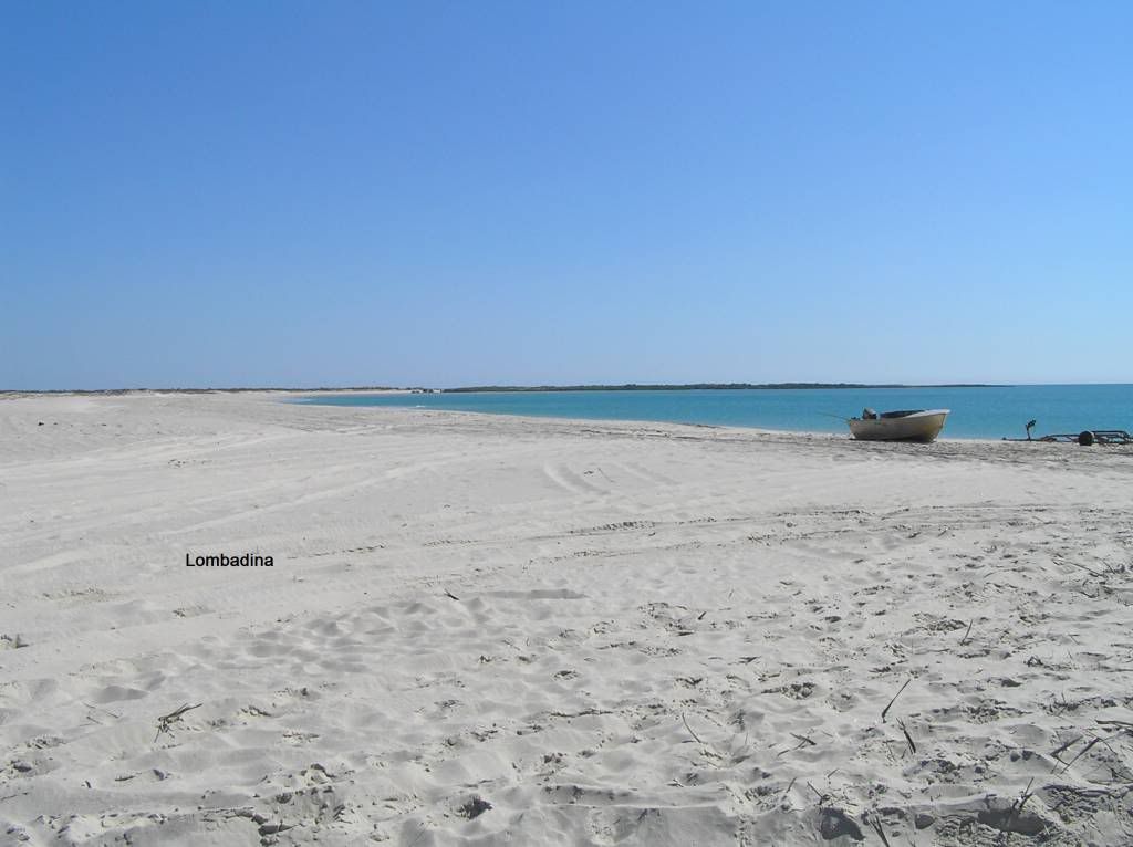
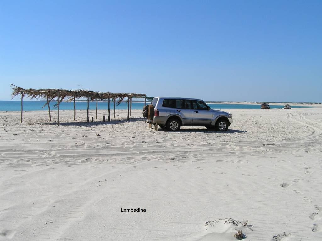
The following day we headed for Cape Leveque as a day trip. We already knew Kooljamin was fully booked. We called into Lombadina for a look see. Unfortunately it was “lunch hour” so we did likewise with peperoni, cheese and crackers. All these communities require you to obtain a permit (for a fee of course) to enter. We handed over a Henry, had a look at the art gallery, supported the ecomony by buying an icecream and headed down to the beach. I thought Chilie Creek beach was nice. Lombadina was far better. So much infact I braved the salties and went for a dip with the little un. She was a bit hesitant at first but in the end, we couldn’t get her out the water.
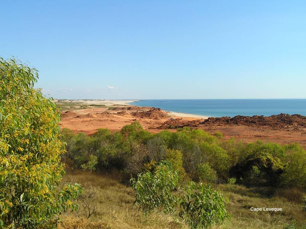
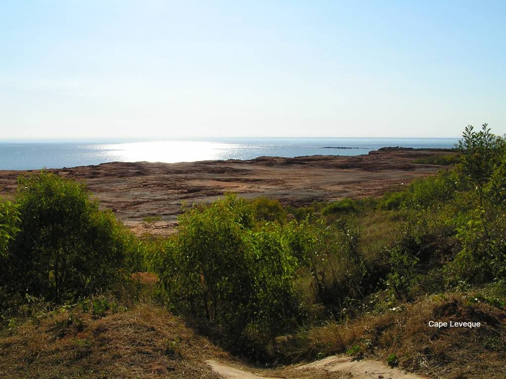
A quick flick over to the “permit required” sign at one arm point, was no point going in really, then off to the Cape. The last few K’s into the cape were dirt. You had to see the irony in travelling 100K’s up the shitty cape road to be presented with a speed hump of all things entering Cape Leveque

But the cape was very scenic. Kooljamin looked fantastic too. I believe they know how to charge, but its a classy place to spend some time I reckon.
The following day we left Chilie creek with fond memories to hit the cape road for Broome once again. The trip back was softer than the trip up (maybe that’s why I spent so much of the time on the wrong side of the road on the way up). As I found, its the shitty little dips and holes that catch you out all the time. Everytime I hit one all I could think of was a companion shaft. If I don’t pop one this trip, I think I never will. Upon arrival in Broome we refuelled and restocked (except for the red and beer...what was I thinking) and headed for Derby. The bible directed us to the Fortescue river at Wilare bridge for an overnight stop. The area is huge, we didn’t follow the bibles directions once inside but found a nice spot on the waters edge on a high embankment. After dinner and doing the dishes, the other half made a quivering “Ohhhh” type of noise. I looked up to see a 1.2m slithery thing a couple of meters away. I told her I was of the opinion it was a harmless tree snake. I just did my usual thing and walked up to it and followed it for a bit. It wasn’t interested in me. I think it was looking for the frogs we found on the tent a short time beforehand. Next morn we were off to Derby for another refuel (diesel and pies) and the start of adventure part II, The Gibb River Road. By this stage we had travelled nearly 4000K’s and was surprised at the lack of wildlife. Apart from 15 eagles on the first couple of days and a mangy looking dingo I spied in the scrub in transit, we saw bugger all road kill or wildlife whilst on the road. That and a couple of frogs, lizards and a snake and that was it. Very strange. It was to continue for the rest of the trip really, but the road toll picked up a little in the NT. We made camp at Windjana. The last crossing before Windjana nearly caught me out. I obviously missed the floodway sign, rounded a corner to be presented with a dry crossing, steep entry/exit and a little rough at the bottom. Applying some brake to no avail, I pushed a bit harder. A bit more again had the abs kick in and I slid into the bottom of it. A good miss that had me very wary for the next 1000 K’s of the gibb. Lucky thing too, some of those were killers. Anyhow, next instalment, I’ll give you my take on the Gibb.
PART II - The Gibb River Road
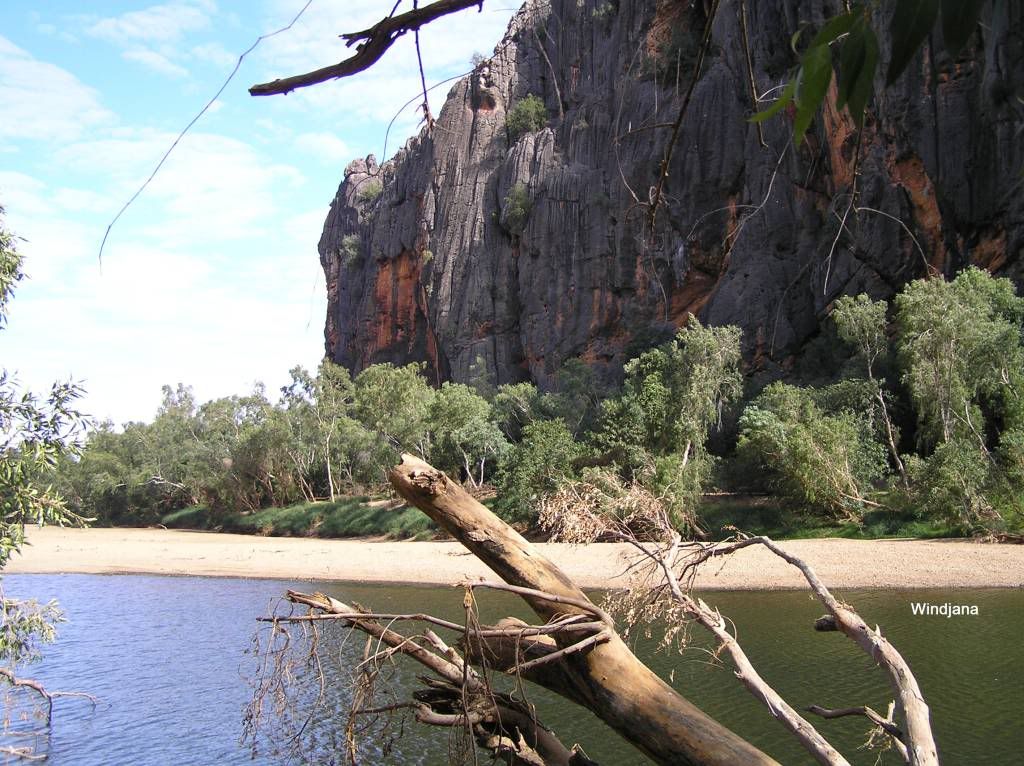
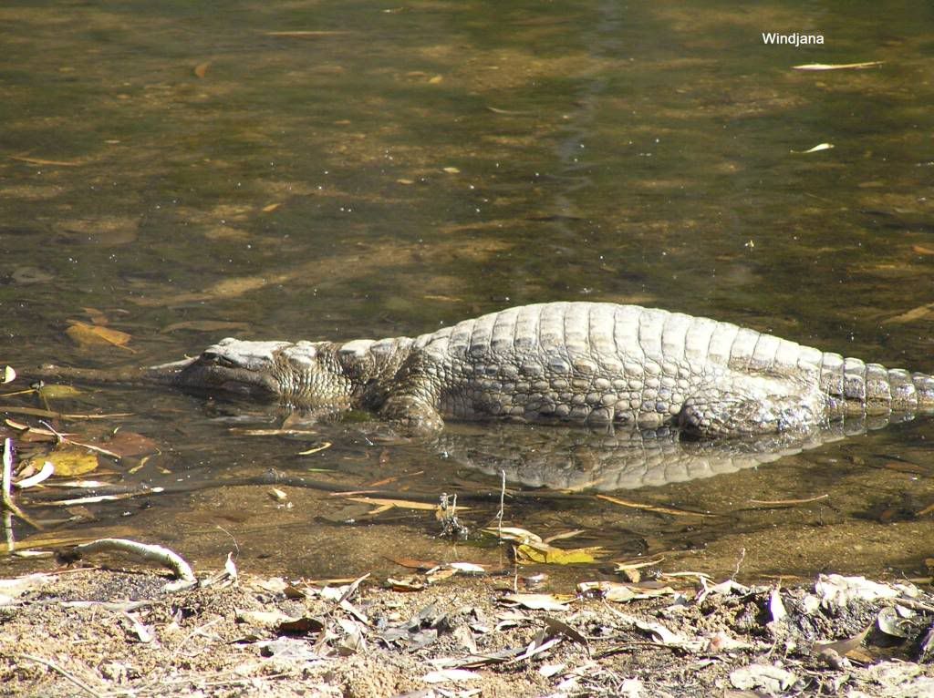
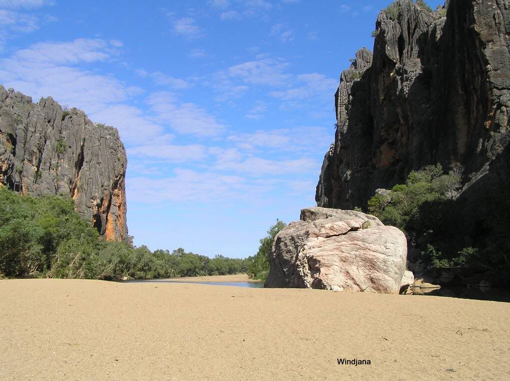
We made Windjana early afternoon and were greeted with a poor selection of sites to chose from. I wanted and needed some shade. There was a spot but it was quite close to a fellow camper, so I did the righty and asked him if it would trouble him if I camped there. Luckilly he was fine with it. I have heard stories since that sometimes there is a bit of agro between campers when selecting sites. It was here that my whole disillusionment on the volume of people up the Gibb started. You go bush to get away from suburbia and end up camping closer than your neighbours are at home. Oh well, at least there’s the scenery and the history to absorb. We decided to make this day a rest day and didn’t even walk the 200m to the start of the gorge. I decided to perform some preventative maintenance on my rear door that was starting to stick due to the volume of dust. With a barrier in place, full load and storage, removing the rear trim would not be an option if the lock decided to stay put. The following morning well after breakfast we headed down the gorge. It wasn’t long before the first of the resident “lizards” were spotted. It was quite warm, particularly in the sun and the little un was showing signs of fade when not in the shade : read – whinging + whining : She perked up when we found a fossil in the rock wall of the gorge.
I guess after a kilometre or so absorbing the “serenity” of the place, she finally spat the plug (not bad for a 4 year old really), so I left mum + trouble under a shady tree on a sandy riverbank to continue the journey. I left them with a handheld and took another myself. I think this helped mum out a bit cause she loved to chat to dad on the “talkie talkie” whilst he was off exploring. I pushed on a little further but it was starting to become groundhog day looking at the same track, gorge walls and river. The track was closed a bit further down anyhow due to the damage from the record wet they had earlier in the year. So I returned to the said shady tree, but I went cross country via the dry river bank instead. My plan was to find us two Kimberley walking sticks umong the debris. I found some average specimens and returned to the talkie talkie commander to present her a pressie. That did the trick, we had less trouble walking out in the heat with the distraction of a Kimberley Walking Stick. The things one has to do......
Later that afternoon I got talking with a fellow camper. He had 2 girls roughly the same age as mine. I said I was going on a croc hunt later that night if they wished to join us. That sealed the bond between us. The girls got on fantastically and we did with them too. They were towing a dual axle Jayco, that thing certainly opened my eyes up to where you can tow these things as it went everywhere. After dinner we all met up and had a trip down the gorge hunting crocs. Unfortunately I had the only torch capable of penetrating the distance in the dark, but we did spot a few. I wont go into the story about the generator nazi 15 minutes past curfew that night but will state it wasn’t mine!
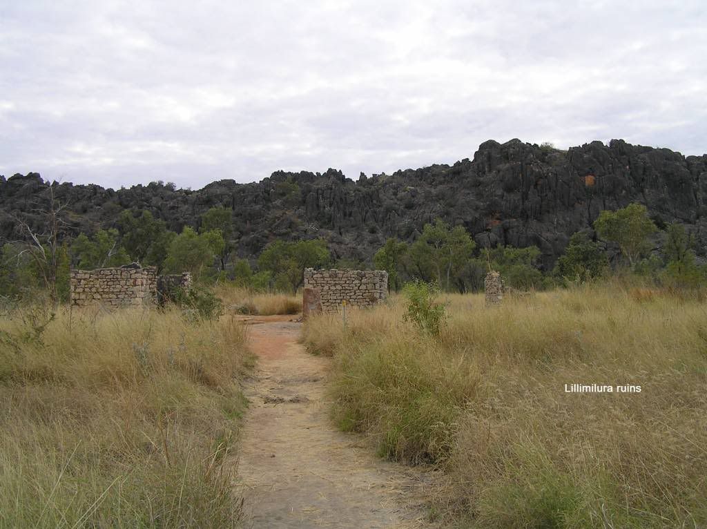
The following day we headed for Tunnel Creek. The road was rough with quite a few big dips to cross. We stopped at the lillimilura police station ruins to absorb some of the local history. Paul Kelly’s version of Jundamurra entered my head and I just couldn’t shake it even when well out of pidgeon country. To imagine the hardship those early pioneers, prisoners, trackers and troopers must have went through walking or on horse or camel is incomprehensible. And what an amazing place Tunnel Creek itself is. I really enjoyed the visit.
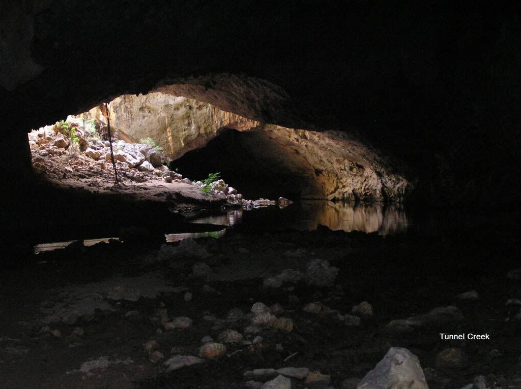
The “Cave” or tunnel is in two parts. The mid section has eroded to expose the surrounding countryside. The first part has one negotiating the stream at relatively shallow depths where upon you meet the mid section. It is just past this section where water is fed via an underground spring and seeps out over a mini waterfall.
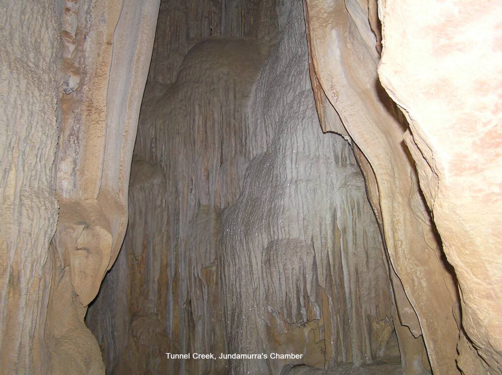
Past here there is a chamber on the left allegedly being Jundamarra’s hidey hole. I’m not so sure, its a long way in and I’m sure they had spirits in those dark places. Anyhow we ventured in. I found a bat on a wall further in and the chamber terminates in a spectacular piece of flowstone.
Pushing on, you have to negotiate waist deep water. There were also 4 red glowing eyes on the right. I’m sure they were Johnston’s but our lights wouldn’t penetrate enough to confirm. BTW, they were gone on our return... You come out of the tunnel and are greeted with a spectacular billabong. There is also some rock art on the left if you care to venture up the makeshift track. For some reason I haven’t returned with a pic of this???
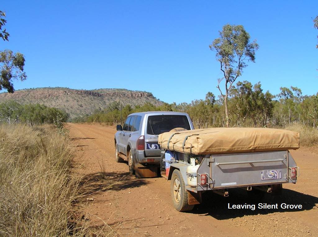
The following day we said goodby to our friends, packed the camper and headed to Silent Grove. They were a day behind us and they said they’d look us up at the next camp
The Gibb to the silent grove turn off was a pleasurable journey. You pass through the Napier range at Queen Victoria’s head, and venture along the savannah to the King Leopolds. We drove the slow road into Lennard River Gorge. Speaking to some that had just returned, we were informed it was a hard 1 ½ hour walk but well worth it. We decided to hit Bells instead due to its relative ease and drove onto silent grove.
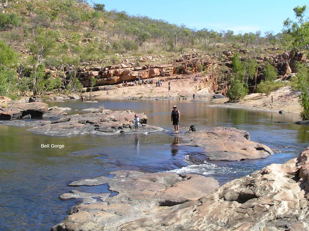
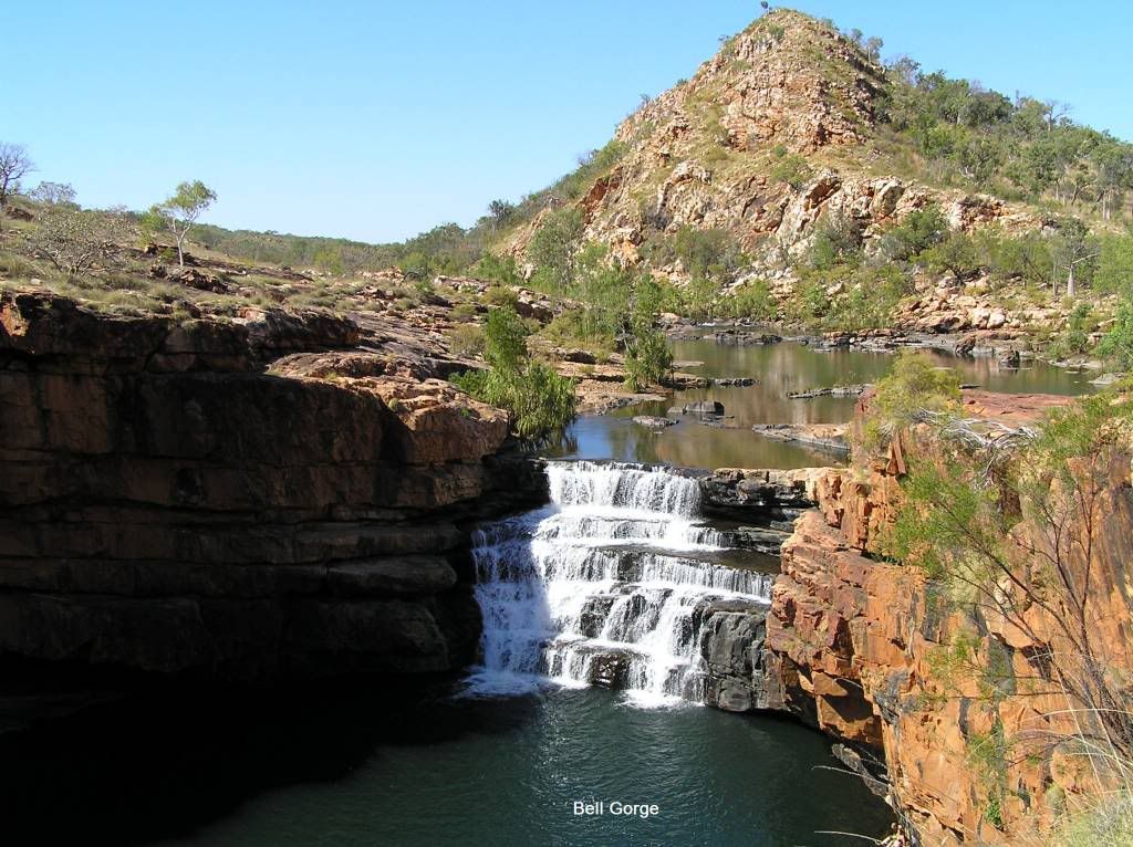
4 vehicles from the opposite direction turned into the silent grove road before me. The dust was shocking. If it wasn’t for the fact there was at least another two vehicles behind me, I would have stopped for a bit. This road was a bit ordinary, 3 water crossings (one being the deepest for the whole Gibb). I was pleasantly surprised to find the campsite well spread out and not as full as Windjana. We made camp and plans for Bell Gorge the following day. If the road in was ordinary, the Bell Gorge road was worse. Not in as much as dust and gravel, but hard sharp tyre shredding rock. We parked and went into the Gorge. It was spectacular.
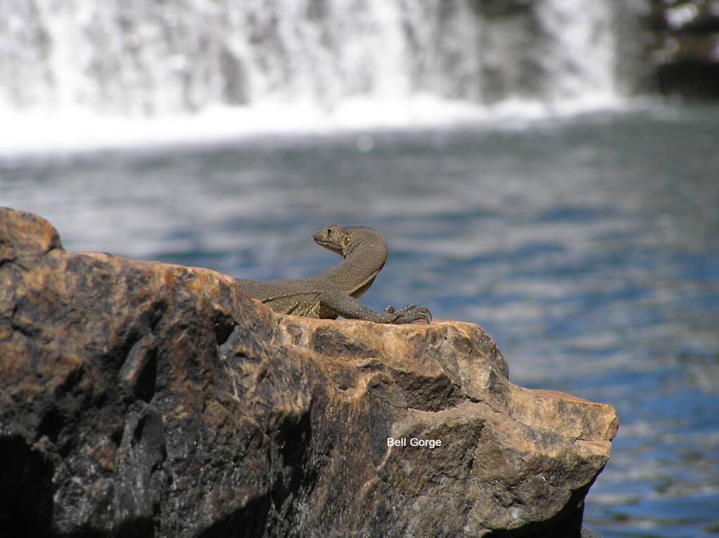
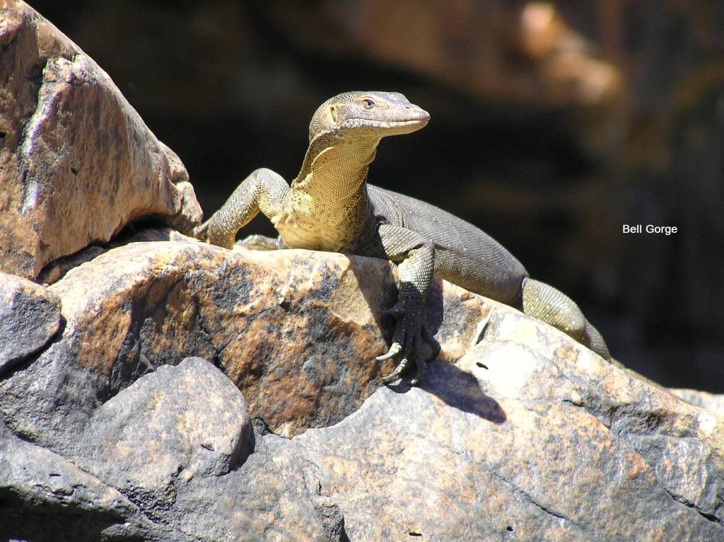
After soaking up the view from the top, we encouraged the little un to make the venture down below. And I’m glad we did that too as you will see from the pics. A couple of Mertin’s monitors watched as the little one swam. I chickened out, it was too cold...
Upon return to the car, I had no gears to select...Shit, what a place for mech trouble....I diagnosed the cluch plate being “rusted” to the flywheel after the water crossing. So I had no choice but to select low range and start in gear. That released it. I suffered this issue a few more times along the Gibb, always after a short period of running from a water crossing. Anytime I crossed water and had a fair run afterwards, no issue. At camp our new acquaintances from Windjana had parked beside us. The girls had a ball and a princess picnic. My new mate had no beer so at great personal sacrifice I offered him one of my limited stock. Bastard accepted too ;) Another fellow we met at Windjana had done a tyre on his Prado. He was off to Iminjti for repairs. The following day, after playing with the Jayco van fridge that was suffering from dropout, and giving my mate a temp fix, we bid them all adieu. We had decided not to do Manning gorge. The road was apparently very rough and the Gorge a very hard walk. Too much for my little un. So I made plans to head to Barnett River Gorge. If it was any good I would leave a rock Cairn for the others to follow. After an ice cream at Imintji, we were off.
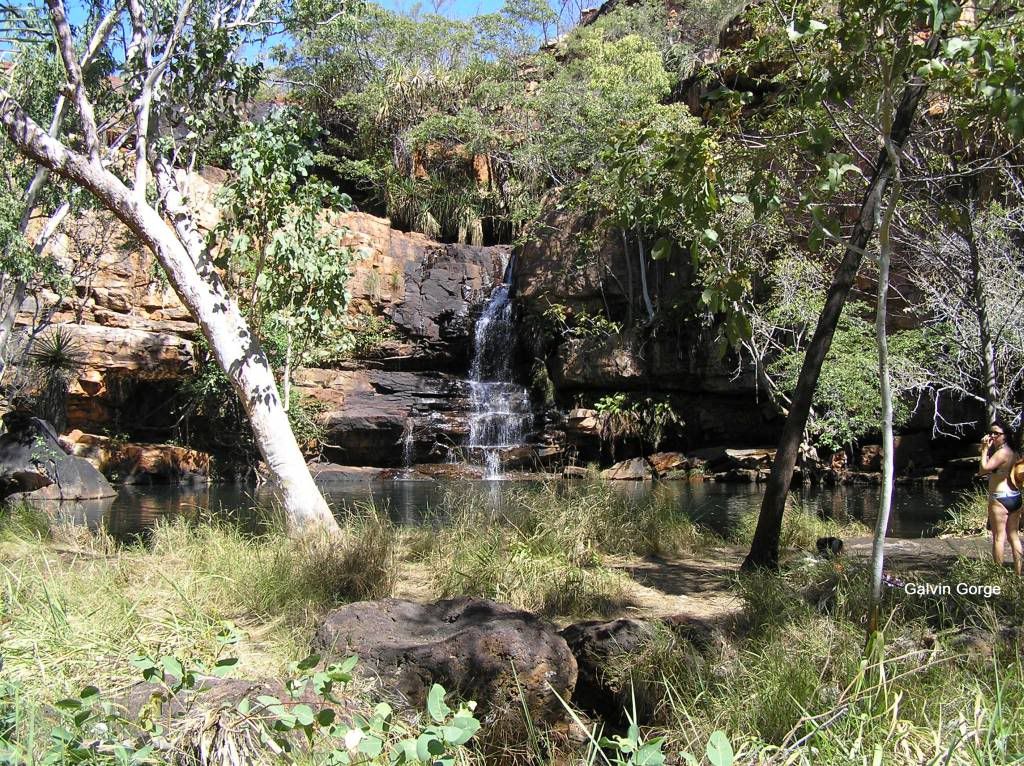
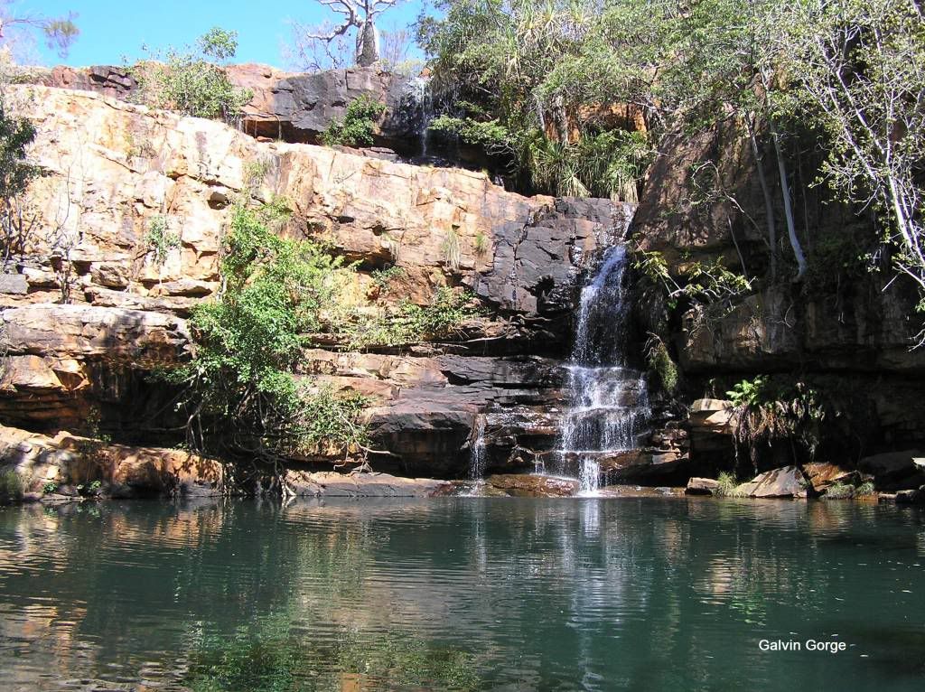
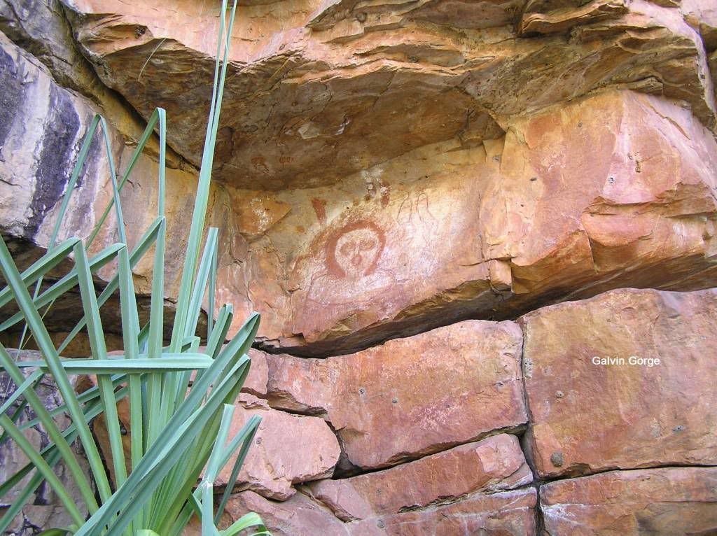
I read Adcock Gorge was a private affair so we bypassed that one too. I subsequently learned it was not, but had little water in it anyway. We stopped at Galvin’s Gorge. What a little gem this is. A very easy walk in to be greeted by a nice 2 tiered waterfall with pool below. Again the little un wanted to swim, but she would have to do so on her own. I think she got her bum wet anyhow ;) We walked around the rocks to the waterfall and discovered some rock art. It’s a shame you couldn’t camp near here, I liked the smallness of the place.
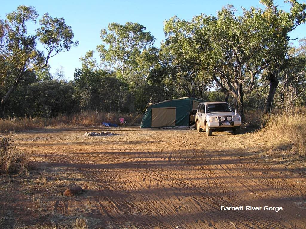
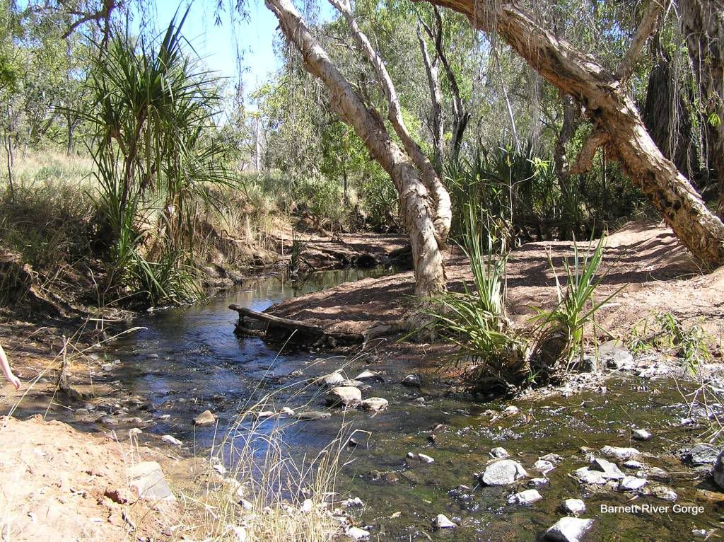
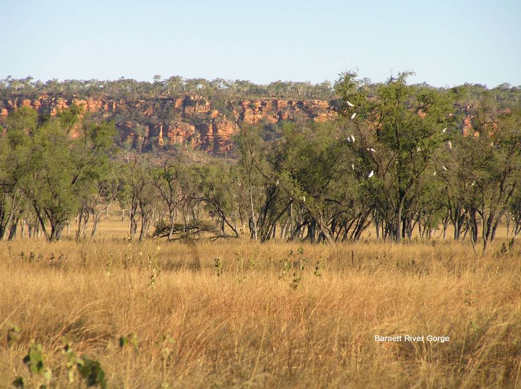
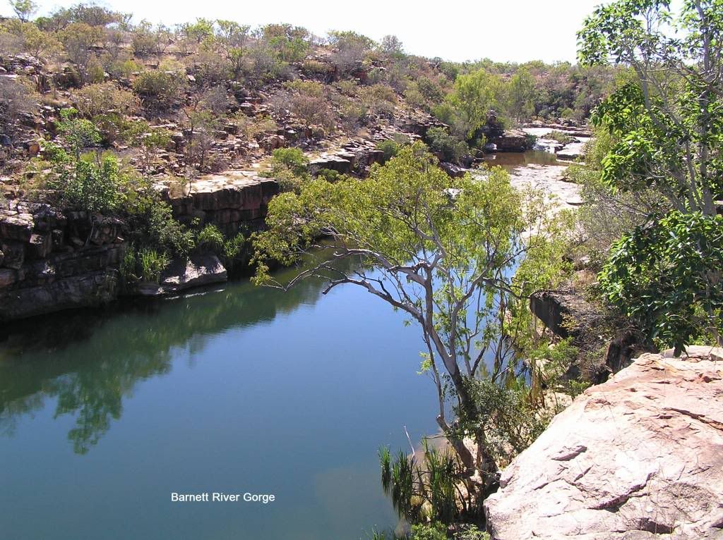
The road into Barnett River Gorge was bady rutted with side tracks anywhere. There was no way I was leaving a rock cairn for our friends with their jayco. We had heard there was a magic little spot we may get to ourselves. We found the spot, but like all the Gibb, it was like the MCG on final day. I spoke to a fella on the other side of large rock strewn dip. He told me there was a camp a bit further on. I stewed on going through the dip as I didn’t really want to damage anything out here. I could have reversed up and taken another route should I so wish. But I said screw it and went. The paj and the trailer all came out unscathed and we made camp for the night by a pretty little stream and watched the sun set on the gorge walls in the distance.
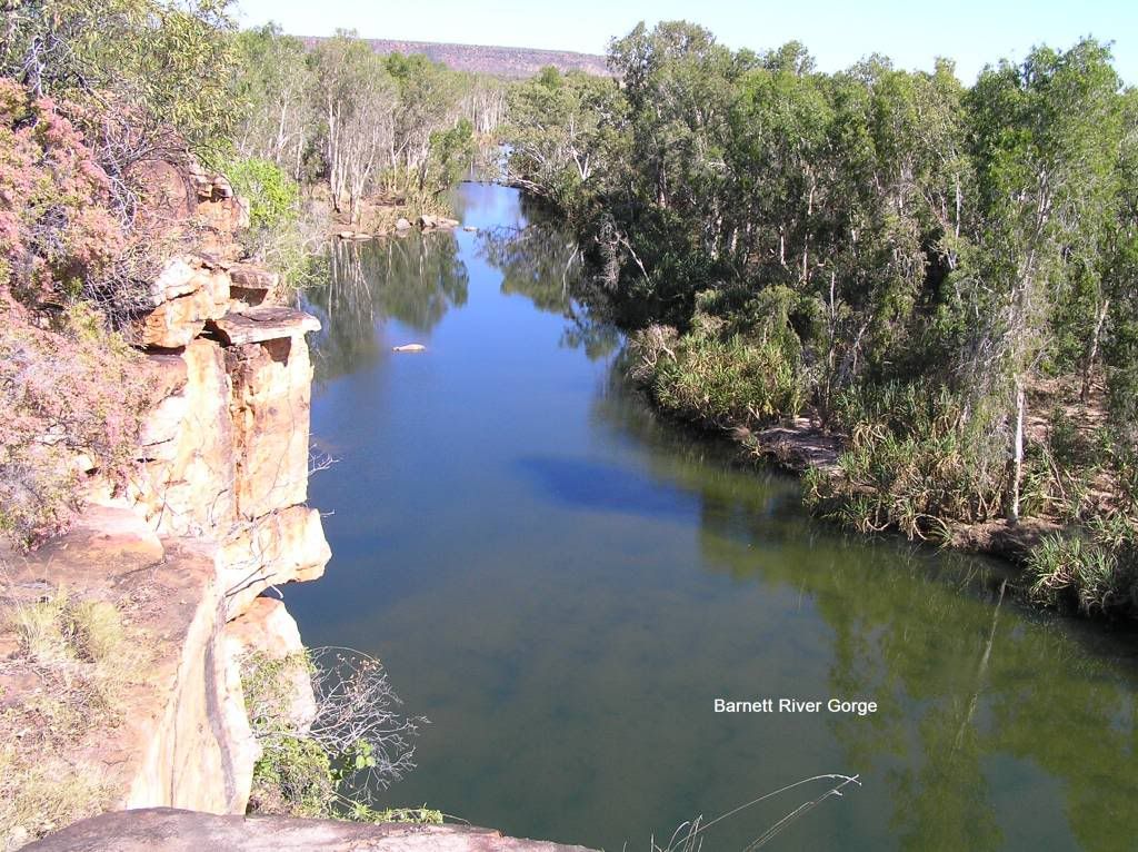
The following morn we set out to see the gorge. The track was another kilometre or so of rutted and dipped gravel. On the way a ute with a trayback camper approached oncoming. I pulled aside to let him pass. Wish he hadn’t stopped next to me on a 15Deg. angle to have a chat. I don’t know how those things are mounted, but the sideways movement of the camper compared to the ute itself was incredible as he negotiated the rutted section in front of me. I thought I was going to wear his camper. We got down to the creek. The bible stated you could drive across for the next 500m or so but it was very harsh. We opted to walk, like all the others down there. I didn’t think it was that harsh but the bible fell over on the instructions to the gorge. We were supposed to follow the rock cairns to the gorge for a short walk. A kilometre later, and the little one spat it in the direct sunlight, so I did my stuff and left them under a tree whilst I ventured solo. Another ½ kilometre of rockhopping and I was at the top of the gorge but could see no way down. So I took some pics and returned. I picked up the girls and we had lunch under a shady tree by the car.
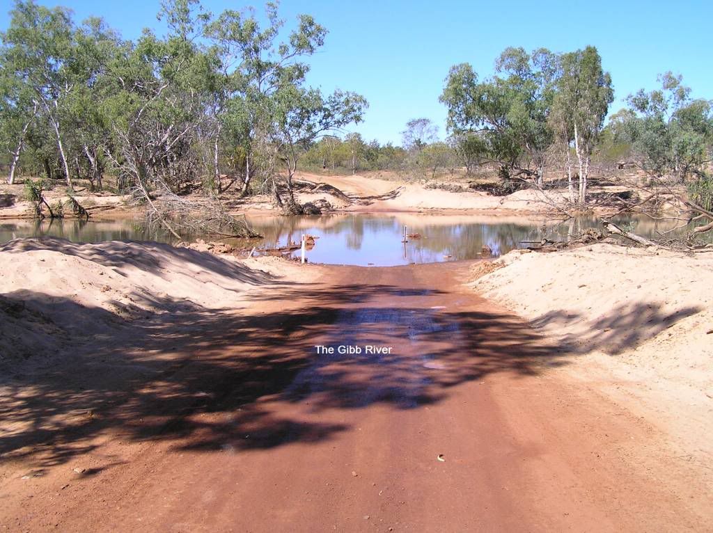
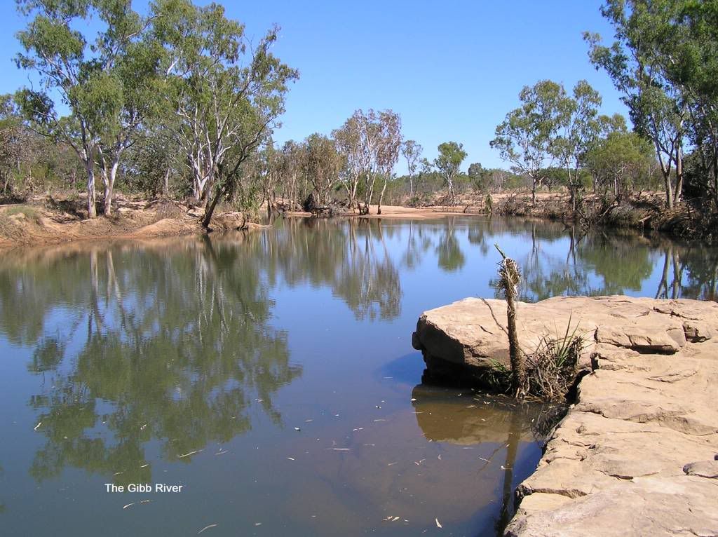
Back at camp I thought I’d call to see if my Jayco friend was in range. I nearly fell off my chair when he answered. He was a couple of hundred meters from my camp. I was really amazed he took the jayco in. We had a communal cookup on my hillbilly plate over the open fire and I sacrificed yet another beer. The following morning we left and headed East solo, our Jayco friend was to go back to do Manning. We said we’d try meet up again at El Questro. When we left home the Kalumburu rd was closed. Mitchell was still an option, but I could see our time slipping away, so I decided to leave this stage for another time. However, I couldn’t do the Gibb without doing the Gibb, so we ventured up the road about 3K’s, crossed the Gibb and had lunch.
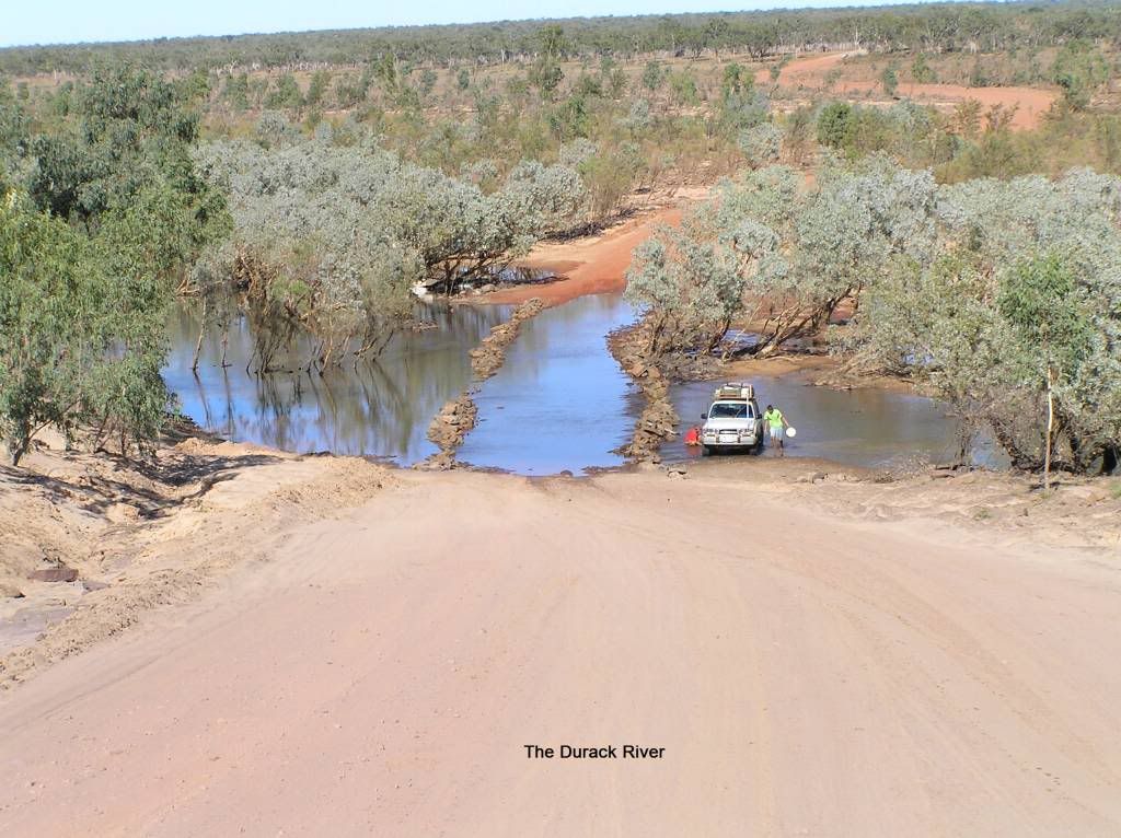
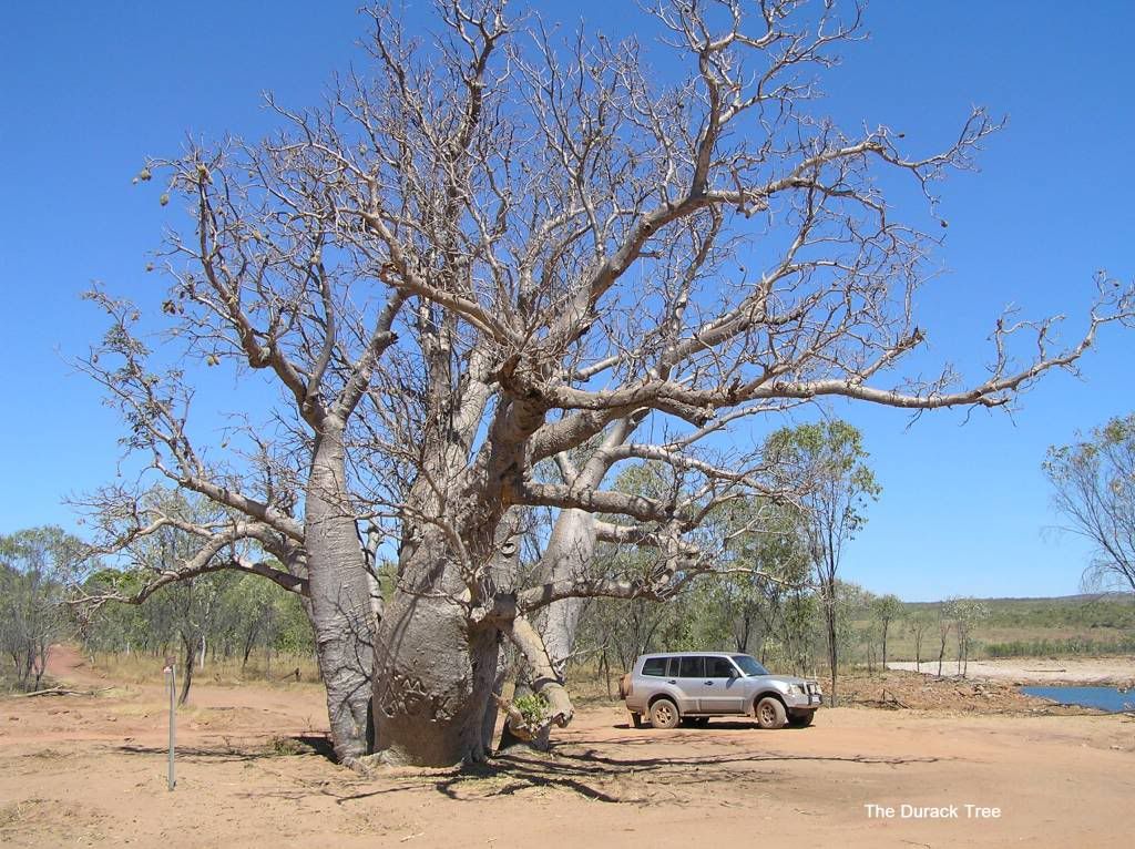
Apparently, the road up to Drysdale was very poor. Stories of a 3 hour trip to do the 60Km’s. And the Mitchell road was supposedly worse. I heard a fellow Pajerooni was stuck at Drysdale for a week getting a replacement OME shock flown in. Whilst the Billies “are not recommended for harsh corrugated roads like the Canning”, they were faultless in the 3000 K’s of harsh corrugated dirt I travelled. Now there’s a sales pitch ;). After lunch we continued towards Ellenbrae. The bible showed a bush camp on the Western side. Upon entering there was a sign “no camping, trespassers prosecuted” So I decided not to camp but to rest up instead. About 7pm, the crack of a centerfire in the distance had us a bit jumpy and I couldn’t remember where all the bits of mine were to put one across the bow JJ That was the only one we heard luckily. We retired (sorry, rested up) early about 8pm. We heard another 2 separate vehicles pull in at this time for a rest too, but they didn’t venture down the track so we were sight unseen and left no evidence of our occupation in the morning upon departure. Thanks to the station for not allowing us to become a road fatigue statistic. Part of the reasoning behind these closures is the volume of traffic and destruction people leave behind. Looks like they got all the ali cans that littered the Kimberley now under control, but toilet paper is becoming the next cane toad. If I can suggest you burn it before burying it. A bit further down you cross the Durack. Funniest thing was the backpackers washing their landabuser adjacent to the crossing. So much for the crocks
Not long after the magnificent Cockburn ranges come into view with glimpses of the mighty Pentecost. There is a few points of interest to see, but your supposed to get “permission” from home valley before hand. I met my Prado friend at a lookout prior to Home Valley. He was the one that did that tyre at bells, and had done two more since. Anyone taking H/T’s out here is asking for trouble I reckon.
On the Prado friends recommendation we decided to pull up at Home Valley
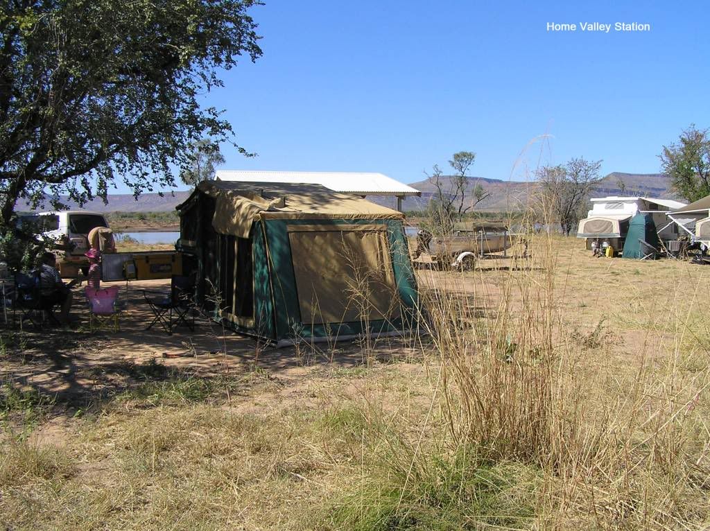
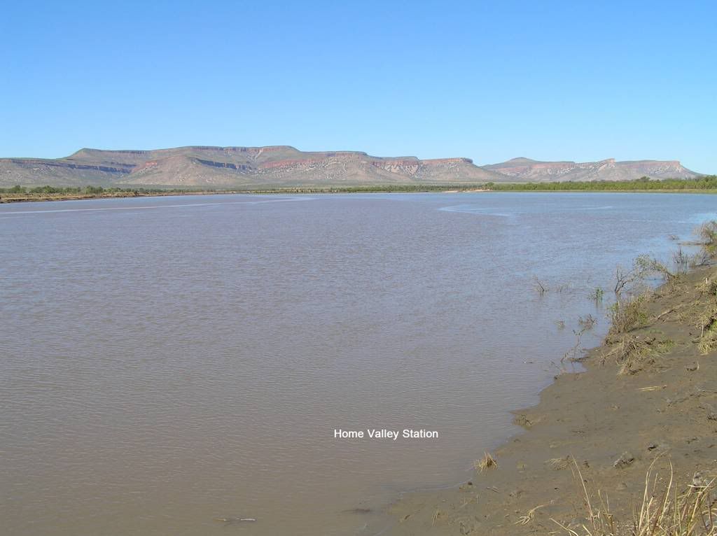
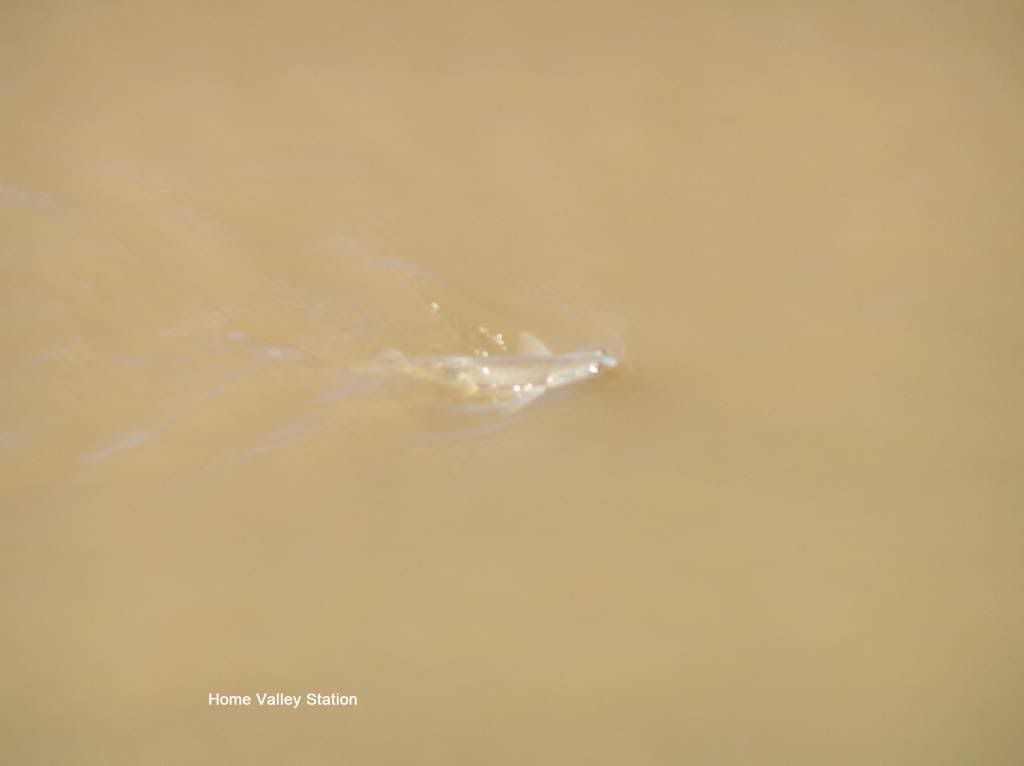
Entering Home valley for the first time was like finding an oasis. Green grass, pool, drinking water, kiddies playground and a restaurant and bar. On my Prado friends advice, we took a camp down by the river. It was far more spread out than the main campground, but had little shade and apart from ablutions, little else. But the scenery being on the “cost” with the Cockburn ranges at the rear was fantastic. The “cost” even had flying fish (along with a 5m resident saltie + his mates). Croc spotting at sunset was the go apparently, but for some reason I missed doing this.
The following day we went to the office to get another icecream and a swim. And blow me down if my jayco friend wasn’t at reception. He decided not to do Ellenbrae but hightail it to HV. He was staying in the main camp, so we made plans to catch up for drinks after dinner. We couldn’t be bothered looking at more waterfalls or gorges etc, so the next day we left for El Questro Not long after HV, you have to cross the Pentecost. Whilst a little rocky, depth wasn’t an issue. And as stated earlier, the two old ducks I saw 3 weeks prior crossing the cost.
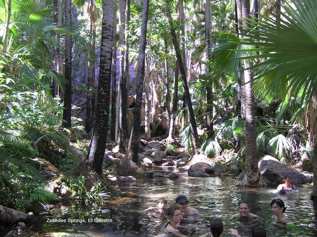
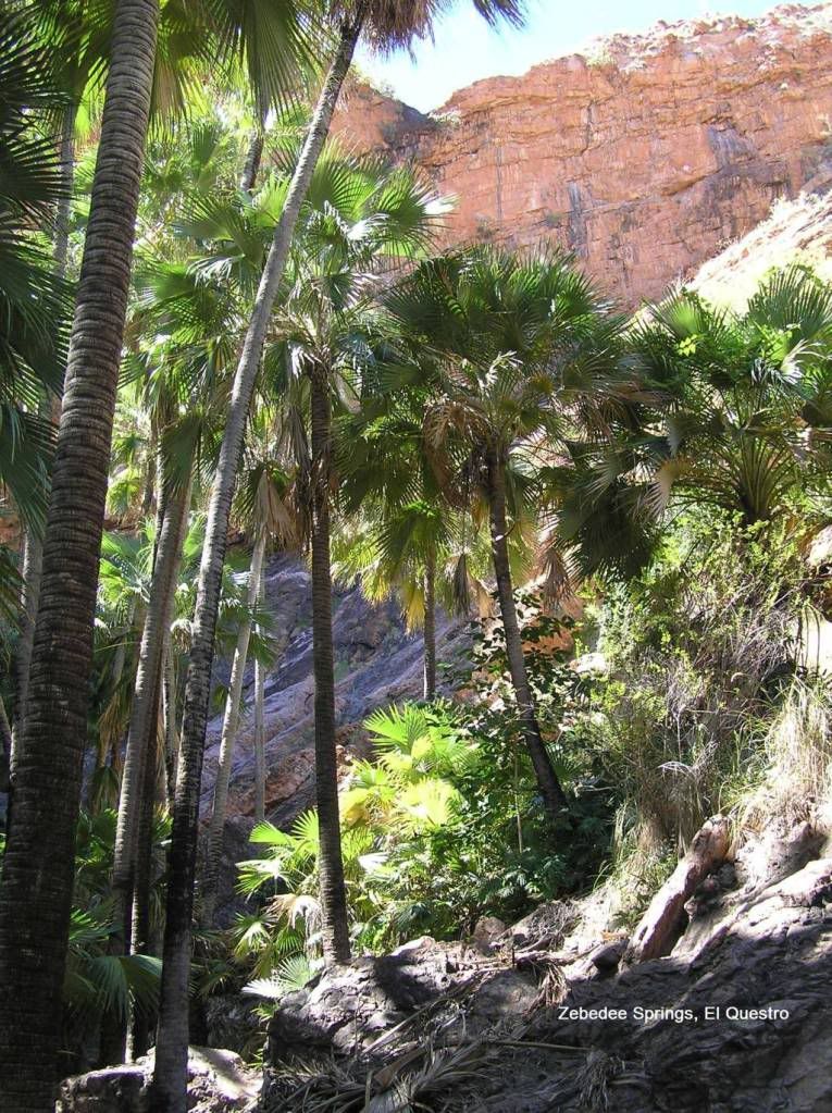
But the second half of the Gibb East of Mt Barnett was far worse then the Western end. But more surprisingly to me anyway, was the crap road into the money pit of El Questro. To enter any of their sites requires a “wilderness pass” @ $18 per adult, valid for 7 days. We “snuck” into Zebidee Springs on the way to paying our camp and wilderness park fee. They close the springs at midday for the sole use of the hoi poli that paid mega bucks to stay in accommodation.
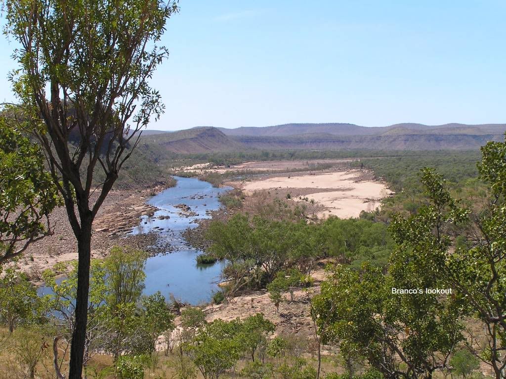
The following day had us explore Branco’s lookout and Explosion Gorge via Branco’s crossing
Branco’s crossing seemed to go on forever. The little un just loved being tossed about over all those rocks. It is from here you get to see the $2500 per night homestead. I was very disappointed. All the glossies you see, the homestead seems miles above the water. Its not that high after all...Bloody sales brochures (at least I didn’t spend $2500 P/N to find out)
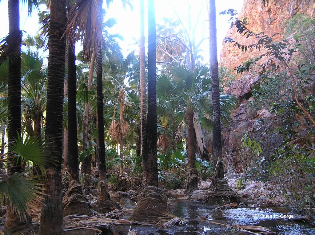
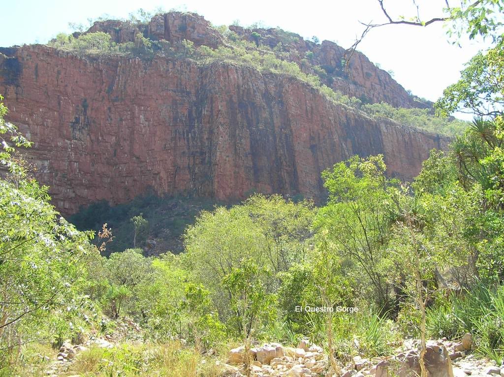
From here our Gibb trip seemed to go a little downhill. The little un was all gorged out. Heading into El Questro Gorge was fun with the long, semi muddy water crossings, but the walk was aborted. When we left it was the same deal at Emma Gorge. Start and abort the mission. Family sanity over picturesque scenery. Then we were off the Gibb heading for Wyndham. 1034km’s for me from Derby. I decided to dump 60L from trailer Jerrys into the car at El Questro. I probably would have made Wyndham (point of note – cheapest diesel in the East Kimberley is Wyndham– 12 cents less than Kunnunarra). So our Gibb adventure was over. I would have loved to have more time to see a lot more than I did (I bypassed lots), but it will have to be another day, and the little un a bit older.
Part III the Bungles and beyond
Leaving the dirt and hitting the tarmac was welcome relief after the last 10 days on the Gibb. From here we were heading to Wyndham to replenish supplies (liquid + solid), catch up with a friend and just chill for a bit before heading south to the Bungles. We stayed at the local van park for a well earned shower + swim. I have to say, I couldn’t believe how cold all the pools were up this way, considering the ambient temp was a pleasant 30+ everyday. We lost a day visiting our friends and generally didn’t do or see a great deal in this town which was a pity, but time was our enemy now. It would be the ideal place for boating/fishing. The crocks in the gulf are plentiful and big as retold by my neighbour in the van park whom unsuccessfully spent a day barra fishing the gulf in his 3.8m tinnie. The local “resident” of the van park was a pretty cool and friendly donkey. We were told the donkey used to cruise around town with a goat (that must have been a sight to see) but unfortunately the goat was lost 18 months ago. He just spends his days plodding along the streets.
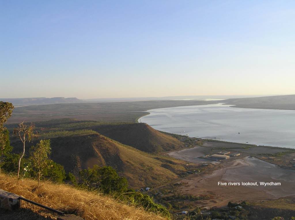
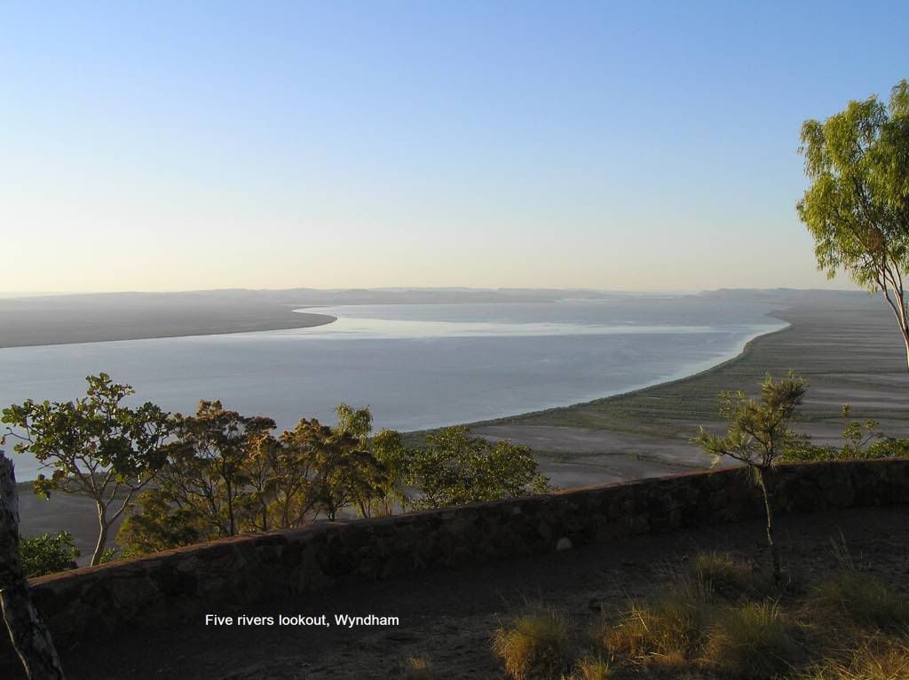
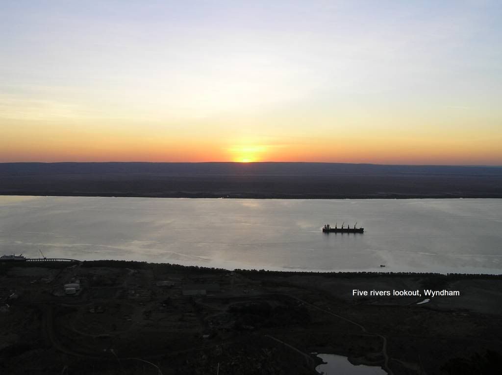
There are lookouts and there are lookouts. The Five rivers lookout is one of the best I’ve seen and a sunset trip up here is a must. They have just started trucking iron ore from a site 200Km’s to the south to the port for export. My pic’s do not do justice to being there in the flesh.
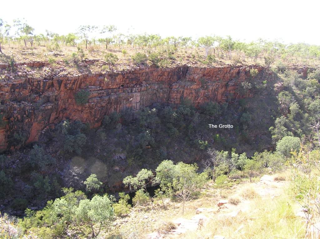
We left Wyndham a little refreshed and headed towards the Bungles A quick dash into The Grotto on the way to the bungles reveals another of Wyndham’s sites to see. But the allure of the bungles meant it was a splash + dash and back on the road.
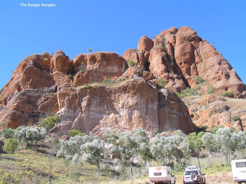
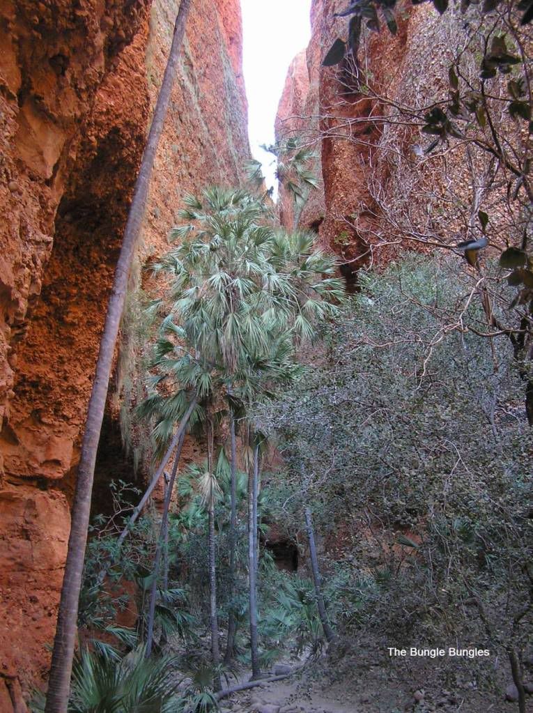
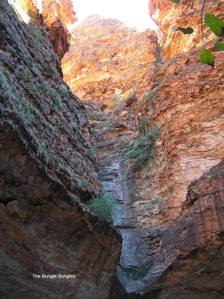
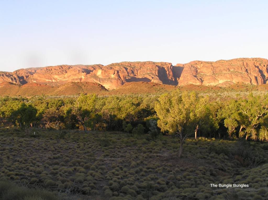
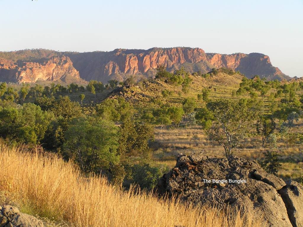
On route we stopped at Warmun community roadhouse for lunch as we were told the burgers were to die for. I can confirm they were good, but I don’t know if they were as highly rated as we were told. Then it was back onto the road for the Spring Creek Track (the road into the bungles). I deflated at the gate before entering as this track is renowned for being a bit ordinary. Big signs state only single axle off road trailers and vans are allowed to traverse this track. This track traverses private property until into the national park. To my mind, DEC maybe need to compulsory acquire this small section of pastoral lease from Mabel Downs as detailed below There was a story floating around the Gibb that the owner of Mabel Downs had cracked the proverbial with DEC not maintaining the Spring Creek track (especially after the record wet of this last season) and was now charging a toll for vehicular access. Rumour had it $20 per vehicle + an additional $10 per trailer was the fee. I don’t mind contributing to the cause but to my mind this fee was far too excessive. After all Purnululu is a national park and must be accessible to all. By the time we arrived, DEC had got wind of the toll and had put a stop to it. Hopefully DEC and Mabel Downs get their act together and sort this issue out. One has to wonder how much toll had been collected before the brakes were put on. The track itself is nearly 55Km’s in length. I took 1 ½ hours to get in. The road was pretty ordinary (especially in the latter parts) but certainly do-able. Again, if you drive to the conditions, you can get almost anywhere damage free. There are numerous water crossings to traverse, most were dry and rutted from previous traffic. On a few of the steep exit ones, I found I needed to drop to low range to pull the 4+ tonne mass up the other side as I lost boost and subsequently power. We decided to stay at the Northern campsite (Kurrajong) as it meant we could get set up earlier. Once again I couldn’t find a suitable campsite without being on top of someone else. But I spied a trailer I recognised (my prado friend from the Gibb) so set up near them. The following morning we ventured into to Echidna Chasm and Mini Palms Gorge. Well I don’t know how to describe these places but awesome springs to mind. I left the Bungles with the feeling that they were probably a better visit than the Gorges on the Gibb. That’s a tall claim to make, maybe my judgement was a little clouded seeing as I did these last. I wonder if my feelings would be the same if I did the Bungles first???? Anyhow we spent an enjoyable day in this northern part of the park.
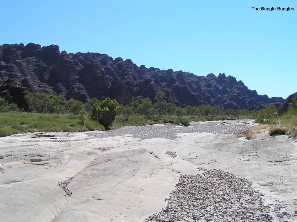
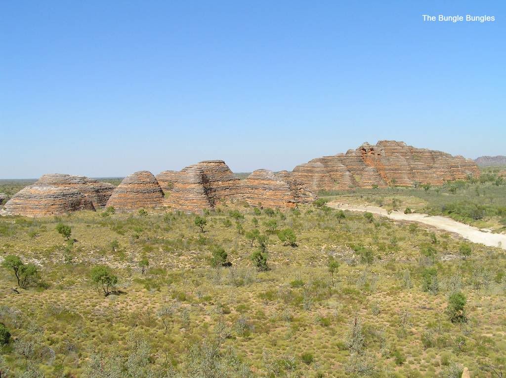
The following morning we did the Southern half of the park, Picanniny Creek and Cathederal gorge. If we thought the Northern half was good, the southern half didn’t disappoint either. The Southern half is the classic “beehives” one tends to see in all the glossy literature from time to time. Picanniny Creek only really had a small lookout to trek to unless you wanted to spend a day or whole week even exploring down river.
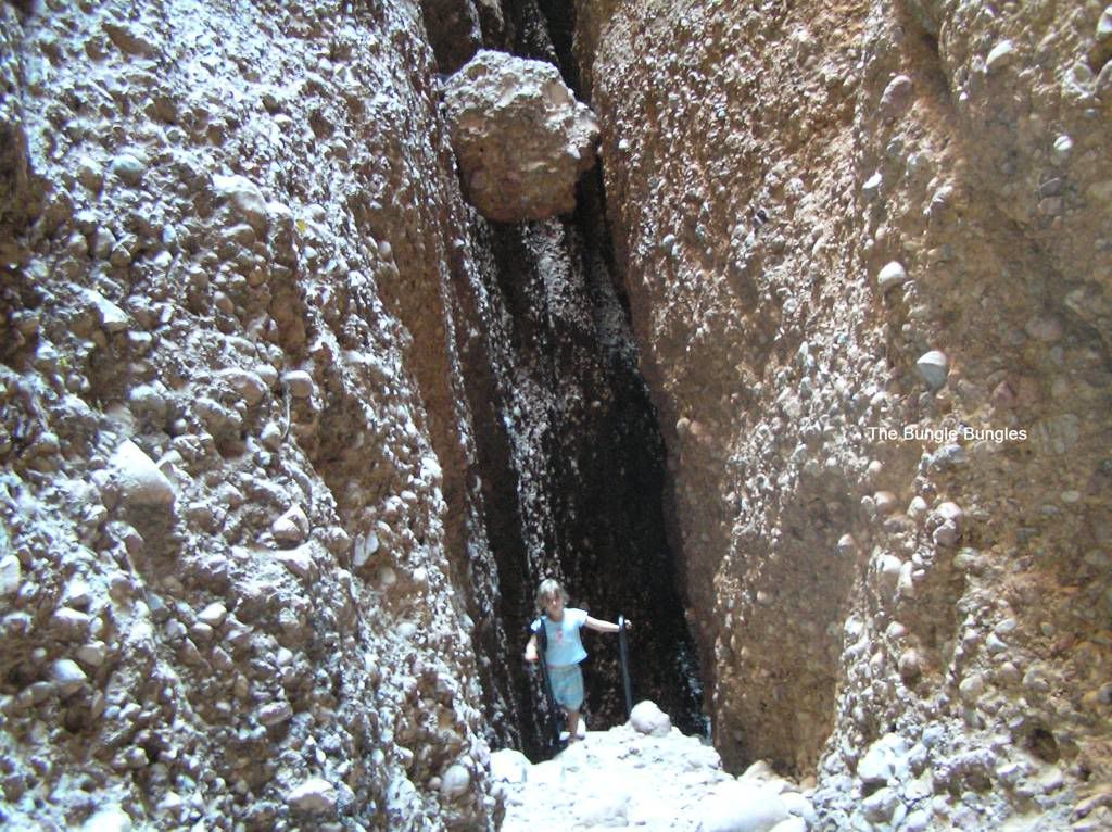
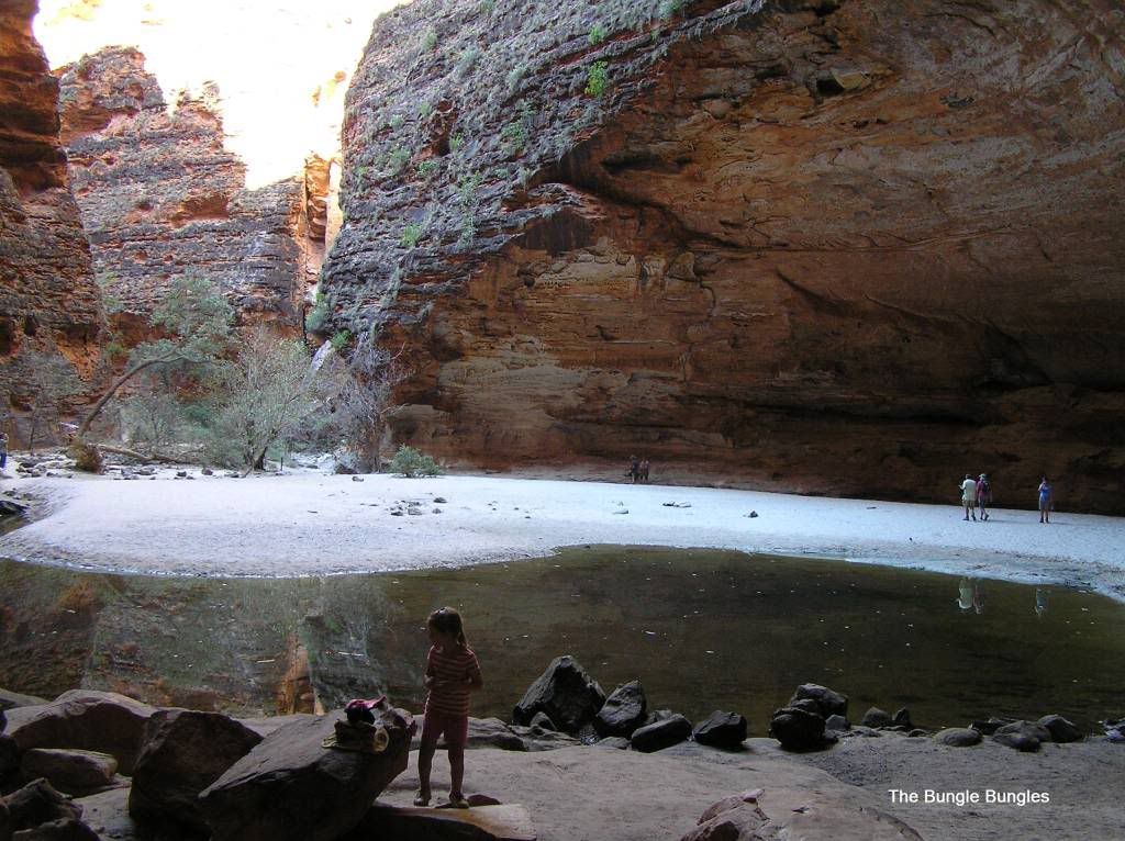
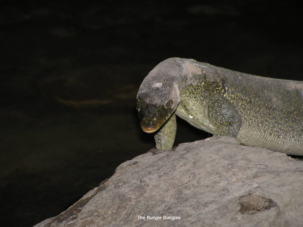
Cathederal Gorge was a great place to visit, however pick a time when someone isn’t going to play their ipod with external speakers unless their taste of music is the same as yours. Mr Mertin, the water monitor met us again in here
One has to wonder how much more stuff there is to see in this park. A few areas have been marked restricted access for traditional landowners use only. I came away with the feeling the park had a whole lot more to offer. Maybe in future years DEC and the traditional owners will do so. My plan was to come back to camp from the southern half and get some scenery shots from a small walk above our camp. But upon returning I found I had car fridge issues. That took me 3 hours to diagnose and repair. In the end it came down to a bad inline fuse connection in the earth line I ran from the dual bat to my power outlets. So I missed the sunset, but fixed a fridge. The 2 girls got some shots for me:
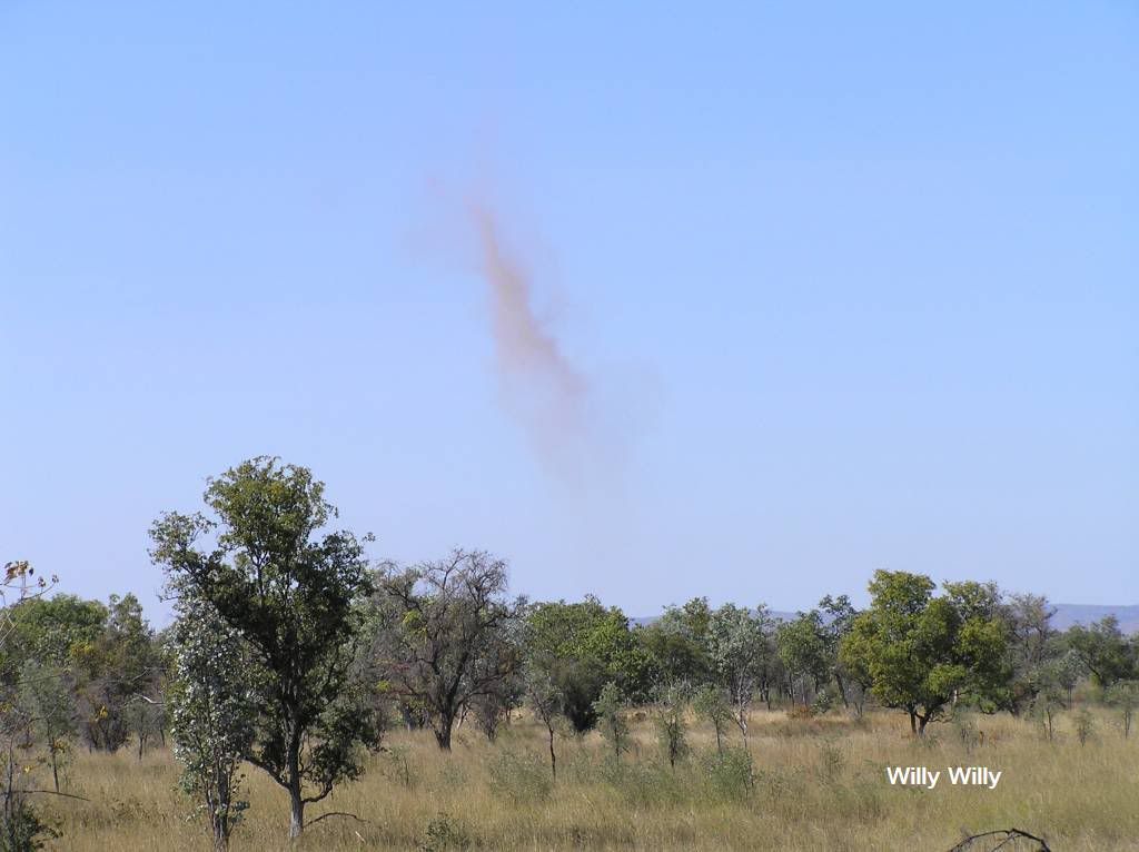
So after 3 days, we were on the spring creek track once again heading out. I got caught in a convoy of a few vehicles so the going was a bit slower and dustier. Next port of call, Kununurra. Somewhere on the main highway I had a V8 holden ute fly past (over double lines) doing over 100mph, he was flying. We decided some hot chips at DoonDoon roadhouse was needed to go with our sandwiches for lunch. The said ute was parked at a bowser with his windscreen pushed in about 6 inches. Guess that’s what happens when you hit an eagle at high speed. Poetic justice maybe? On the way, I failed to capture on film a huge willy willy and only caught it as it collapsed...Bugger, it would have been an impressive pic
So we arrived at Kununurra with the almost the same dilemma as we struck in Broome. The parks were full. So we drove out to the hidden valley park, found a semi-reasonable spot and decided to park up for another 3 days to see the sights.
The first afternoon in Kununurra was just to set up camp, relax and ponder what to do next. But my first port of call was the tavern bottle shop after 5pm to pick up some bargain bottles of red. The camp site ended up being a poor choice. It was full of backpackers on fruit picking duty. Not that there was anything wrong with that, but they were the most inconsiderate (insert your one phrase here) one could find. 4.30am starts, not caring in the least how much noise they made. Some arrogant European nearly didn’t go to work that day. His car was meters from my bed, and I swore to the other half if he slammed that car door one more time, I was going to have him. I’m not normally like that, but the percussion from that door slam was like a slap in the face. Remember this all kicked off from 4.30am. Not Happy Jan. And unfortunately we had to endure this rubbish for 3 mornings in a row. I was glad to leave the place. The following day we ventured off for a bit of a look see. First stop was to the zebra rock gallery. Its an amazing piece of stone (no pics from me, sorry) but an example is shown here :

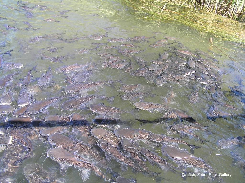
All hand mined from a “secret location” somewhere in the Kimberley. The property backs onto the Ord and for a small donation to the RFDS, you get to feed the resident catfish down on the jetty. There were literally hundreds of them. The little one had a ball feeding them.
From Zebra, we headed off to see middle springs, black rock falls and Ivanhoe crossing. However on the way we came across a site, ValentineSsprings. What a delightful little swimming hole this was.
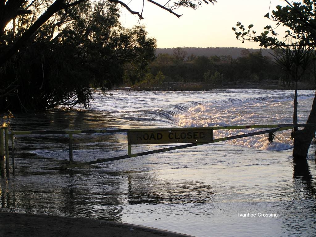
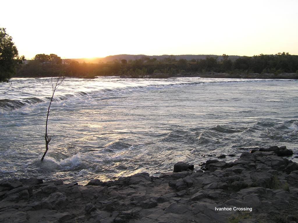
So a bit of a look see and we headed down the road. Unfortunately both middle springs and black rock falls were dry. I guess you’d have to be here near the end of the wet so see anything of interest. Then it was onto Ivanhoe. Unfortunately, the road was closed, meaning we’d have to see it from the other side. So we returned the way we came and had lunch at Valenitne springs. On the way back to camp we got down a side track for some pics of the diversion dam with the floodgates open. They had so much rain this season, they had to release the water. Due to this water flow, Ivanhoe crossing was closed. There were a few people trying their luck for barra. I have no idea how successful or not they were.
Later that afternoon we went out to Ivanhoe via the towns lookout.
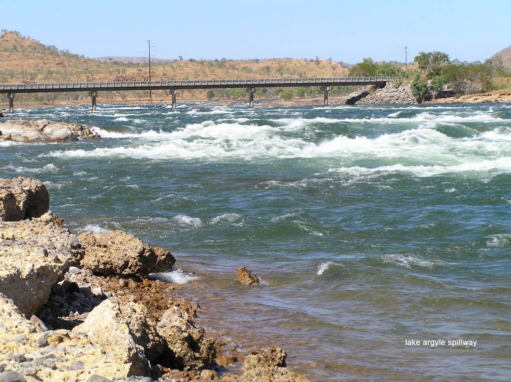
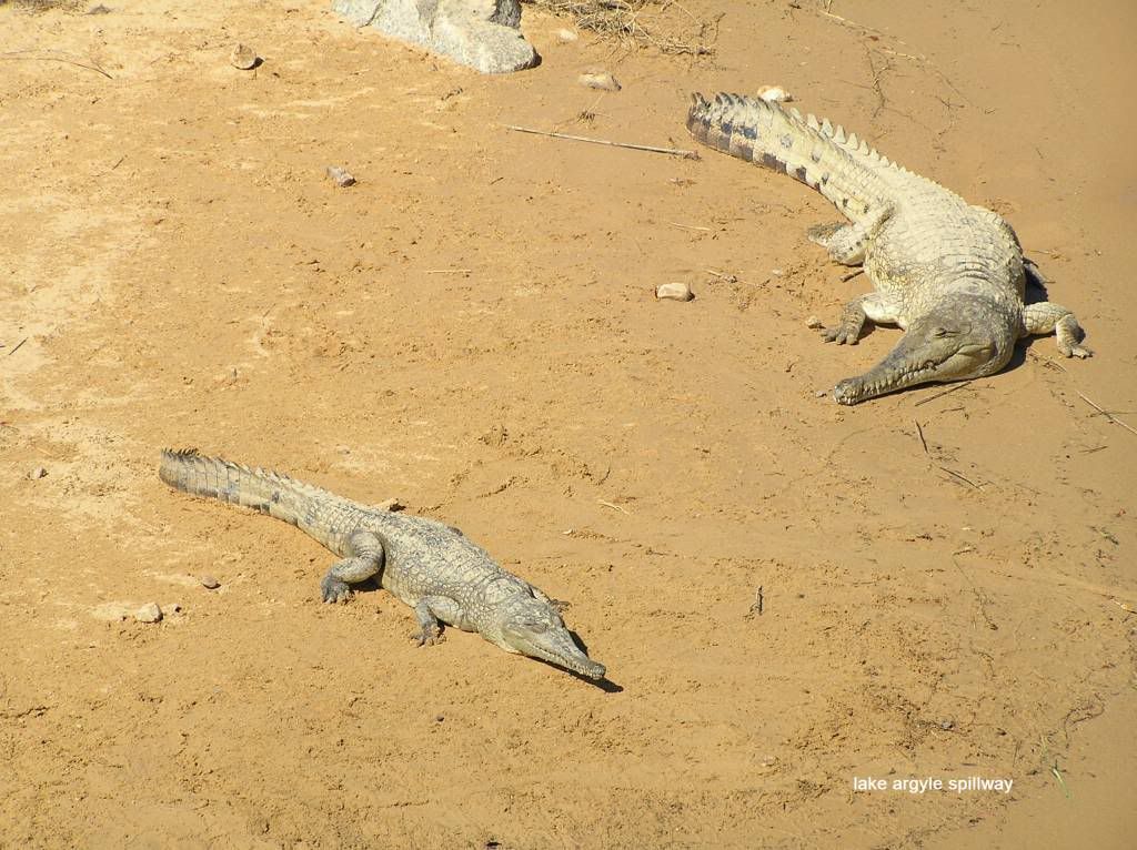
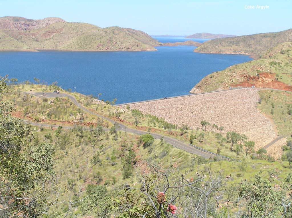
On our last day in Kununarra, we headed out to lake Argyle for a look. We crossed the upper spillway and found a couple of residents just lying around
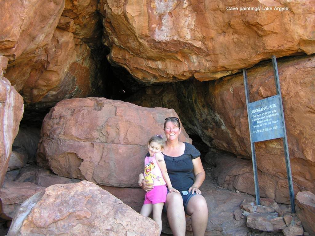
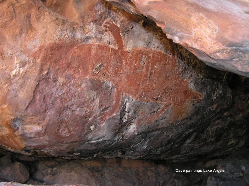
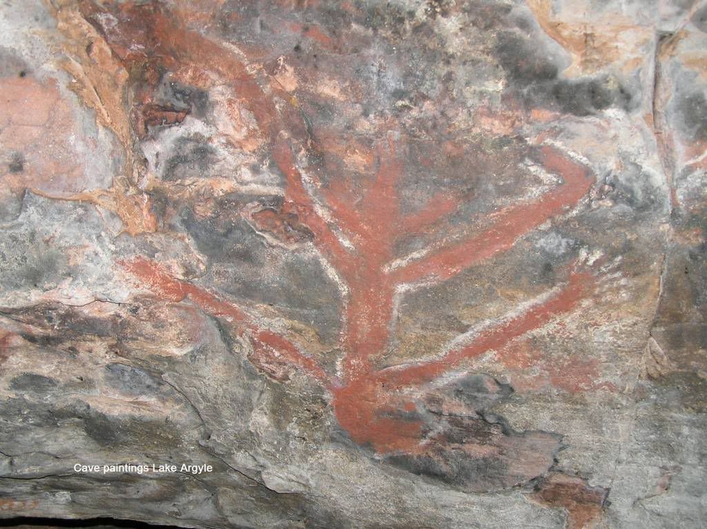
At this point, I decided to change mapsets on the lappy and noticed a marked point of interest “aboriginal cave, position approximate”. I thought this sounded interesting so I had a bit of an explore. An unmarked track led off the road and I followed this for a while. I came across a rocky outcrop and thought I’d get out and have a bit of a look. When I found a sign by the WA museum, I knew I had hit Eureka. In the cave I came across a brilliant painting of a croc and also of something else I’m yet to decipher. I had a good look around this outcrop and found further caves higher up. I entered one and had the crap scared out of me when a bat came from nowhere trying to get out the exit I was entering. There were numerous caves and crevices, but only the one piece of art.
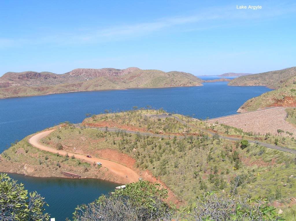
The dirt track meandered onwards so I followed for a look. It petered out but the rock formations ahead looked interesting. So I went for a bit of a hike but found nothing further of interest. As this site was not marked on any tourist map, I considered ourselves very lucky to see this piece of art and exercised all due respect when exploring the formation. It was then onto Lake Argyle itself. A picture postcard spot. Crossing the dam, there is a pretty little picnic area below the dam wall where we had lunch. It was then back off to camp for the last night of fruit pickers.
It was back at camp I noticed a huge pile of accumulated muck on my Auxillary tank. It was leaking diesel and the dust was accumulating on the spilt fuel. I had a quick look and couldn’t see anything obvious. So I had no choice but to persevere with it till I made home (a long way away). Even now, home for a month, its still not resolved. The leak is somewhere in the upper part where it meets the rear seat well. Its a big job and means the tank has to come out to be repaired. The following morning we said farewell to the fruitpickers and headed off for the Territory. I never thought I would say this, but I was glad to be leaving WA, not entering. Have a go at the que of vans trying to get through the quarantine checkpoint.
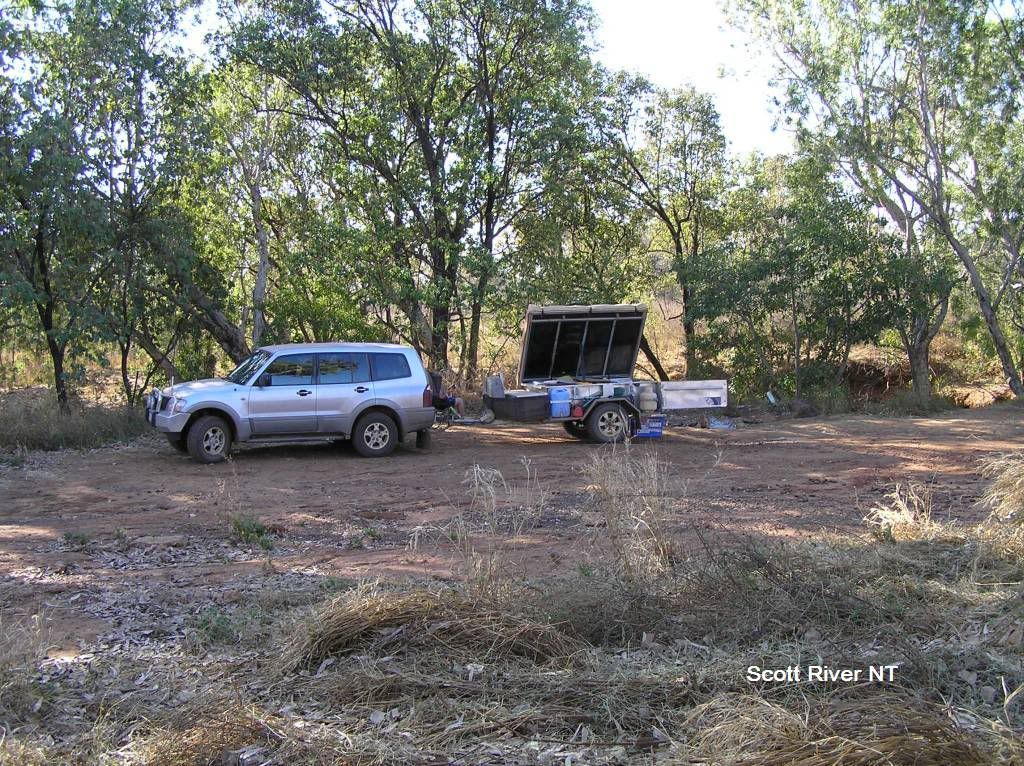
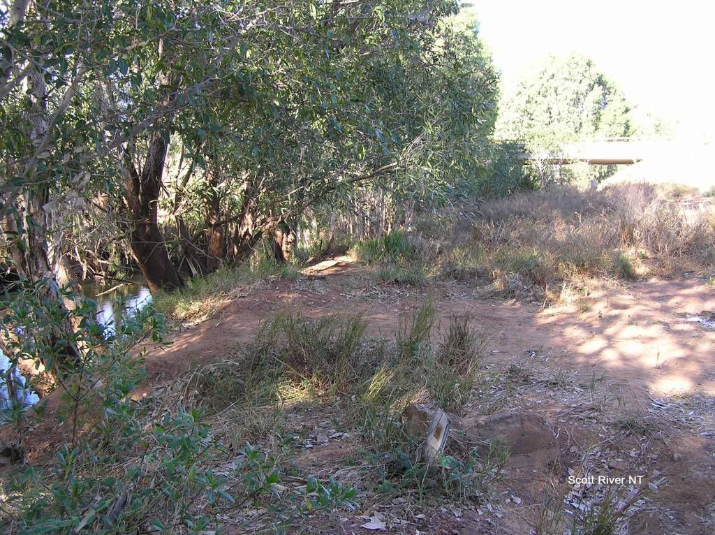
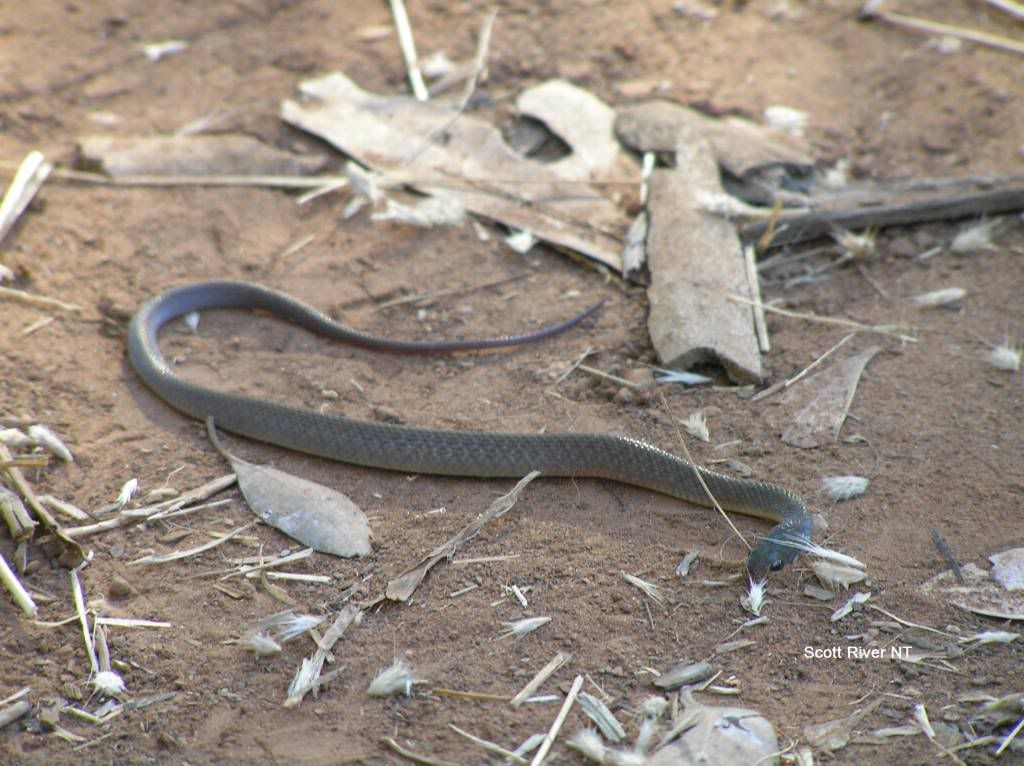
I had no real plans made for the Territory other than to get up to Darwin and catch up with Aussie Dan somewhere. We crossed the Victoria River and the roadhouse made the perfect place for a spot of lunch. I was thinking Katherine would be the ideal overnight spot, however I came across a little roadside clearing at Scott River in the early afternoon and decided a free camp and some planning was in order, so we took it.
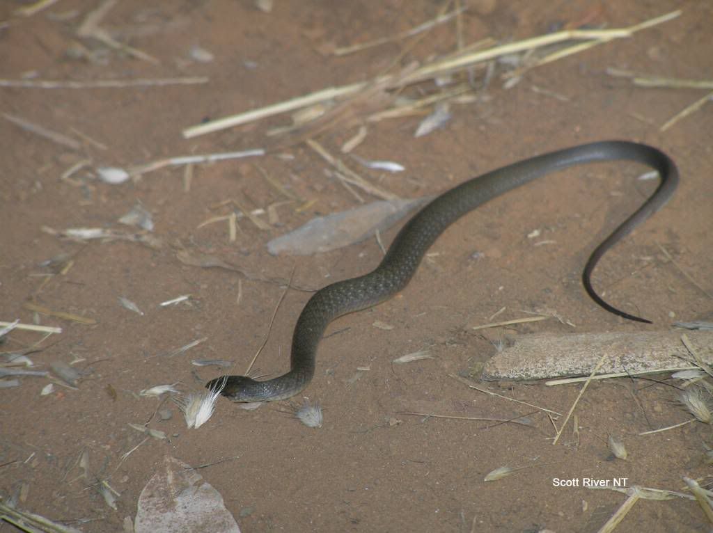
It was here, studying the map books and the calendar that I had to make the hard decision that Darwin would be a no go. We were still some +3000km’s from home with 2 weeks left. Darwin would be a 5 day round trip, leaving us just over a week to travel +3000Km’s. So it was a no brainer. Packing camp we found a small unidentified snake about 6 inches in length right next to where we pulled the tent up. We watched for a while and then it suddenly went into a death roll and died. I don’t know what happened to the poor little thing. I was wondering if it may have been squashed under our feet at some stage, but there was no visable signs of trauma, so its a mystery to me.
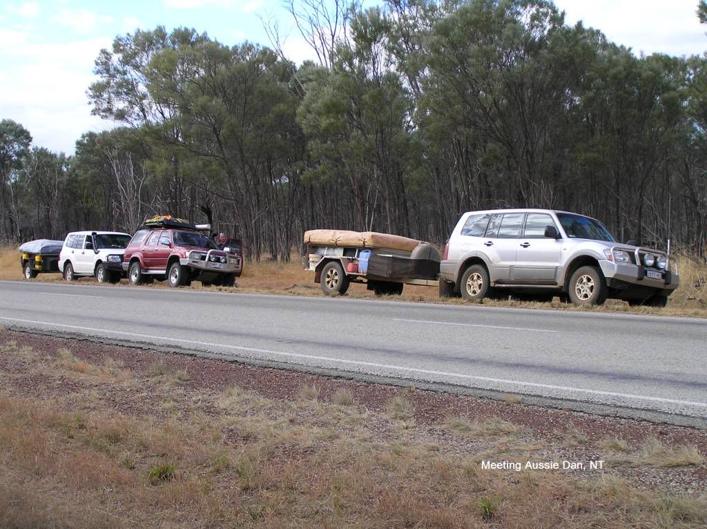
We made Katherine early morning and did a restock. It was here I finally got some phone coverage. I had had none since I left Derby in WA. There was voice mail from Dan. I tried to return the call but ended up with his voicemail. So I told him I would go check out his accommodation at Mattaranka and stay on ch40 uhf. When I made enquiries at his chosen place, they didn’t take bookings. It was late morning at that stage and I expected him to be there well later into the day, he had a big day to travel that day. I deliberated with the other half and in the absence of coms with them, we had to push on. A stop in at the township and pub at Larimah is a must I reckon. The pub owner had a small zoo in his collection. I wished I had the time to spend a day here. Not long after passing Daly waters, I passed a white Paj. So I call for the “Dan” and the reply was pull up, we’ll turn around. So we had an impromptu Paj forum meeting on the side of the Stuart Highway with Dan, Brother Matt, their respective spouses and kids. But both of us had to push on, so we rain checked that beer and wished each other all the best. I knew I should have stayed at Mataranka. But at least I got a pic for the article.
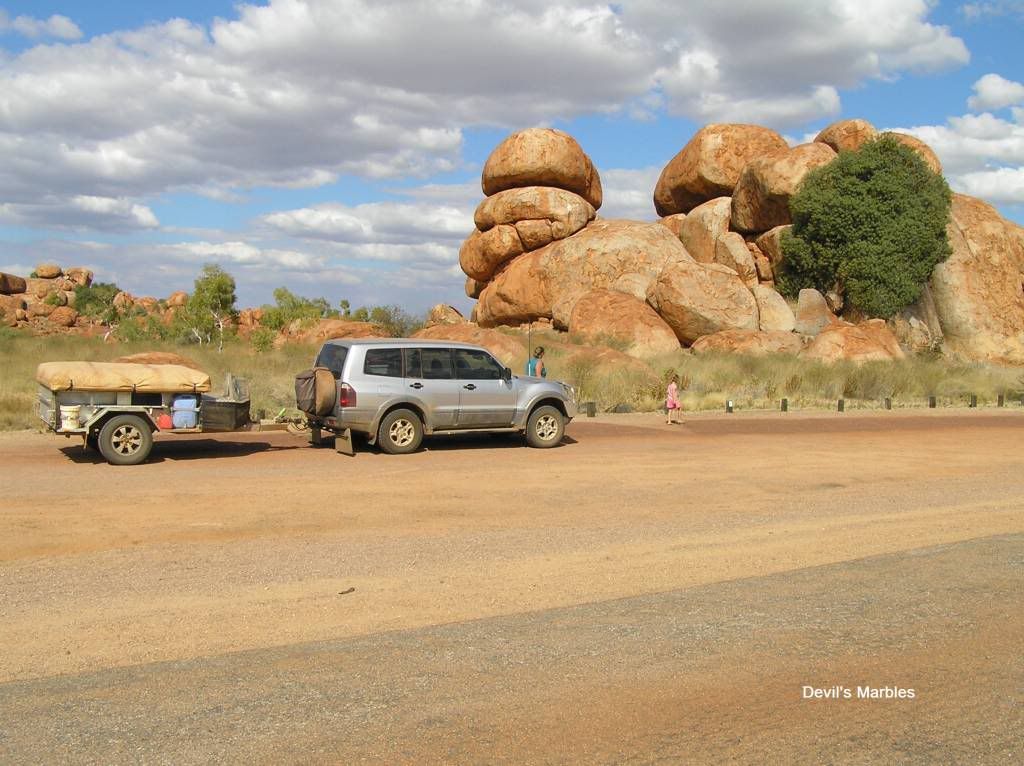
We were now well and truly on a transport stage. There was to be little sightseeing of the Territory as time had beaten us. We decided to use this as a taster and maybe return on another 6 week break in a couple of years. We missed so much, it was rather disappointing. We passed the devils marbles and drove in for a quick look.
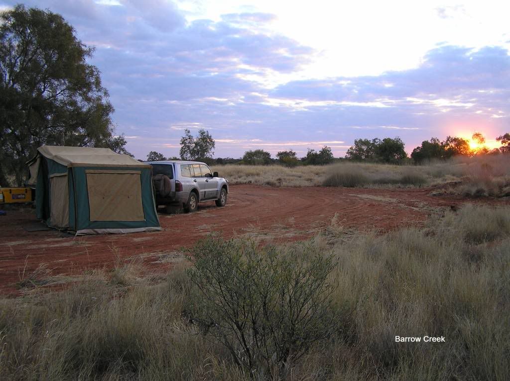
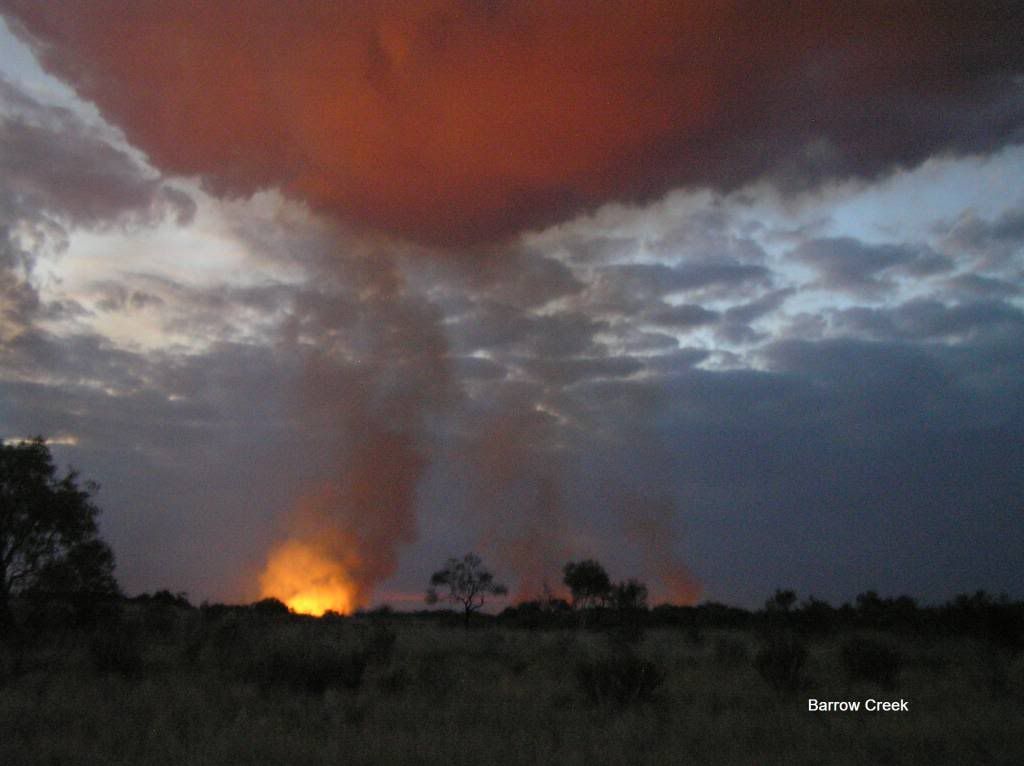
It was getting later in the afternoon and we found a piece of the old highway along a watercourse near Newcastle waters station. We turned down this old strip and found a clearing suitable for the camper. So we spent the night 50m off the highway watching and listening to all the road trains rumbling down the road all night. It wasn’t the best, but it was free..... The following day we were on the road again. At a roadside stop for lunch, a willy willy came from nowhere and blew everything to kingdom come. I couldn’t believe the strength in that wind. It lasted about 30 seconds or so and was gone as soon as it came. Another 500km’s or so we found a nice track south of Barrow Creek. I parked the car in a clearing and hiked a few K’s on foot. There was some pretty good country, well off the road. But unfortunately there was a relatively large fire I could see in the distance. The country was mainly grassland. I don’t know if you’ve ever experienced a grass fire, but they are very fast and very intense. Due to safety, we had to pass up this ideal spot but gps’d its co-ords for future use. 10 or so K’s down the road we passed the fire. It looks like some poor sod parked his hot car on the grass just off the road, started the fire from the exhaust and lost his car in the process. We kept going. I had a book that told us of some tracks in a truck stop suitable for camping some 40k’s further down. Unfortunately, the area was too exposed for my liking. I had seen a track off the road 10K’s back so I back tracked to investigate. Eureka. A few hundred meters off the road the area opened up into a large expanse. So we made camp for the night. We were upwind from the fire, but could clearly see the glow. I was happier in the fact that I knew the fire was going away from us and any wind change in the night and we would be ok.
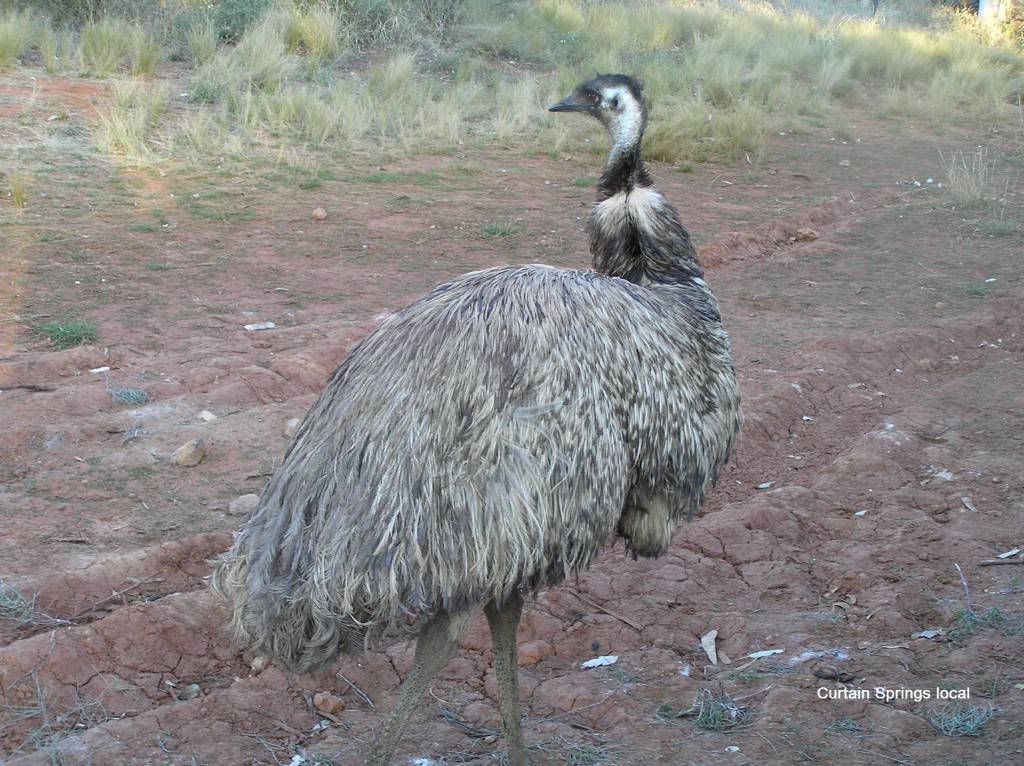
Luckily for us, it was on our return to Perth, we were advised this is the piece of highway where Peter Falconio and Johanna Lee’s had their terrible introduction into some of the country’s highest upstanding citizens We made Alice late morning and decided it was a Hungry Jacks lunch for today. We just hoped they had burgers, unlike Chicken treat Broome with no chicken. A few phone calls cause we had coverage and then it was off to the visitor center to try get a permit for the great central road. I was told we needed two. One to get from uluru to Docker River, the other for the GCR. Both had to be obtained from different land councils. We timed it wrong, it was a Sunday and nothing was open. So we pushed on. I decided to arrange these by phone somewhere on the road on Monday. We read Curtain Springs roadhouse offered free camping, so we aimed for there. We passed a couple of great free camps on way, we hoped Curtain would still be free. It was. And in all reality, it wasn’t bad. You had a restaurant, shop, fuel, phone, toilets and hot showers for a dollar. I even lashed out the $25 for a 2l cask of red to get me home. There was a local resident emu hanging around, poking his nose into your camper, car or whatever. Sometimes you could even give him a pat. The funniest thing happened when he spied a border collie and became territorial. He chased the collie across the park at full speed and the collie crapped itself and hightailed it back to his owner. All who witnessed the event were in stitches.
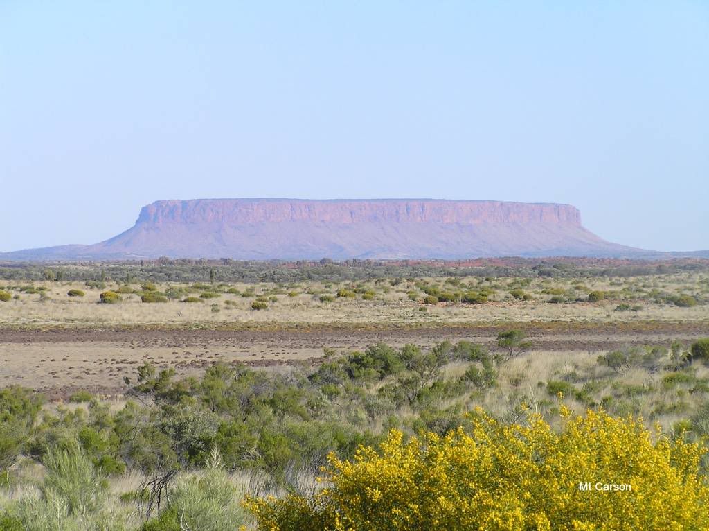
Next morning I spent some time on the phone to the various land councils and got my permits to travel via the fax of the roadhouse. A big thank you to them for letting me receive it. We got a shot of Mt Connor on way to Uluru. Then we entered the Uluru national park. I told them I wasn’t stopping. They asked for our permit, and after re-itterating we were not allowed to stop in the park, we were underway without paying the $25 per head entry fee.
We then passed very close to the rock. I don’t know if its really required to go in unless you want to camp or climb it (when the traditional owners can be bothered letting white man climb it anyway. Apparently, they are locking it up from climbing all too frequently these days)
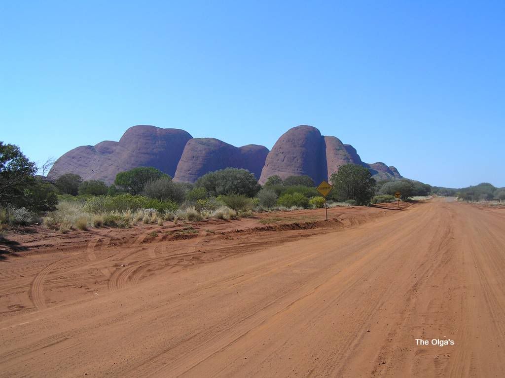
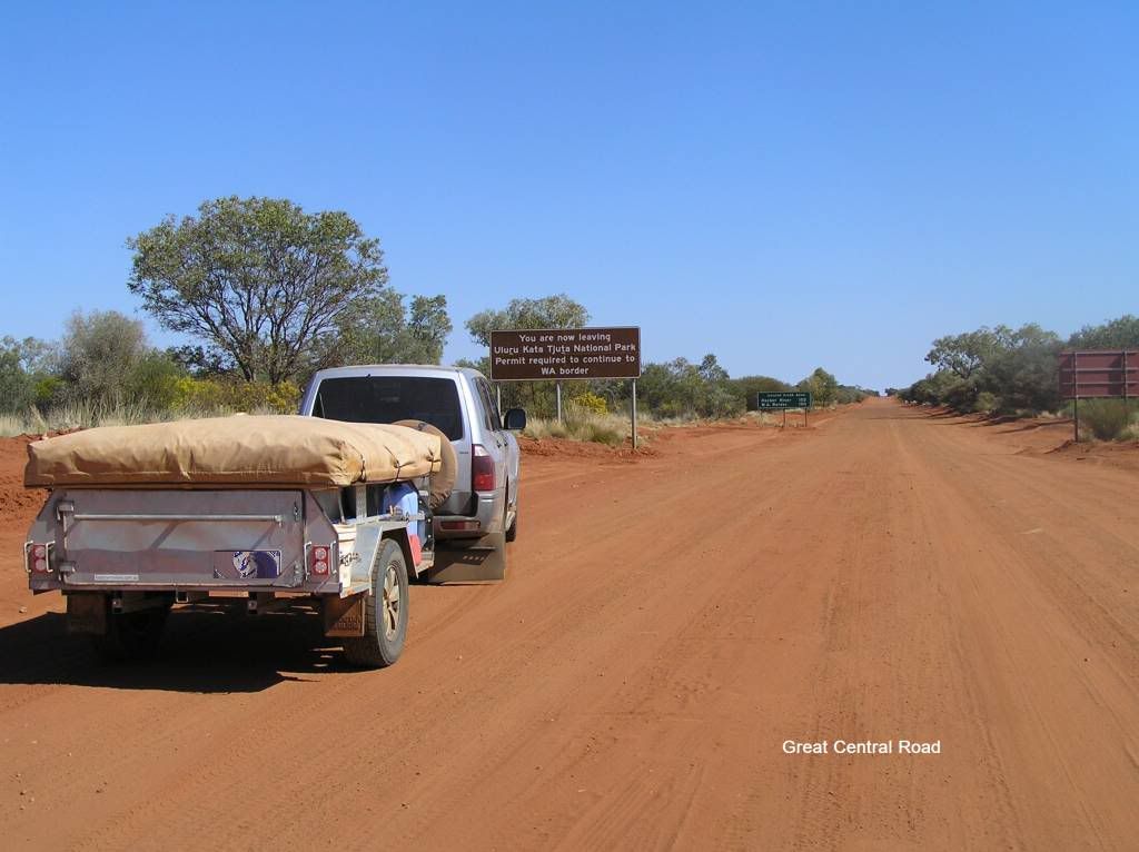
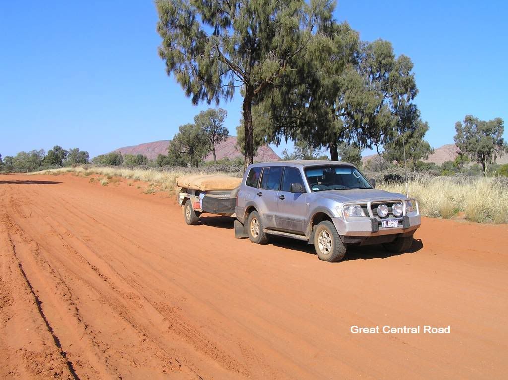
We then passed the olga’s (again we didn’t go in) and we hit the start of the Great Central road.
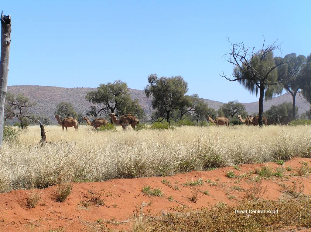
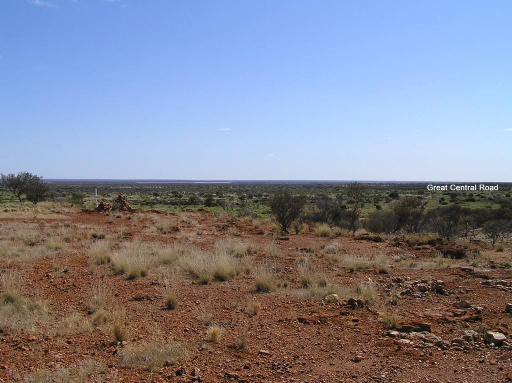
So now we enter the final stages of the journey. What Can I say about the GCR and Tjukarururu roads (The NT side). Well they were brilliant. Apart from 10k’s either side of Docker River (which was pretty ordinary) pretty much the whole 1000+ Km’s of road was a + 100Km/H affair and this was with the CT in tow. The scenery was spectacular and there was far more wildlife here to be seen than the whole of my journey so far.
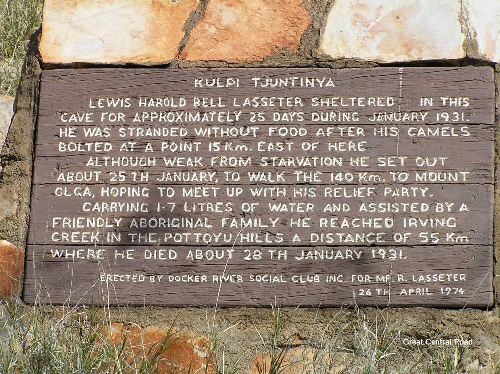
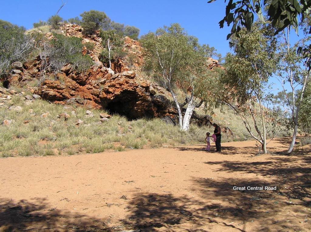
We stopped in at Lasseter’s Cave to absorb some of the history of the place
Then it was onto Docker River for a refuel. Unfortunately we hit Docker just as school had finished. Lots of very young locals around giving you the stare and the heavy steel mesh cage of the shop banging closed with the locals entering and exiting was very daunting. We paid the princely sum of $2.30 for diesel here. I knew I should have topped up at Curtin Springs. Anyhow I now had enough fuel to make Kal. I was told $2.30 was the going rate all across the GCR, but I note Warburton was $2.35.
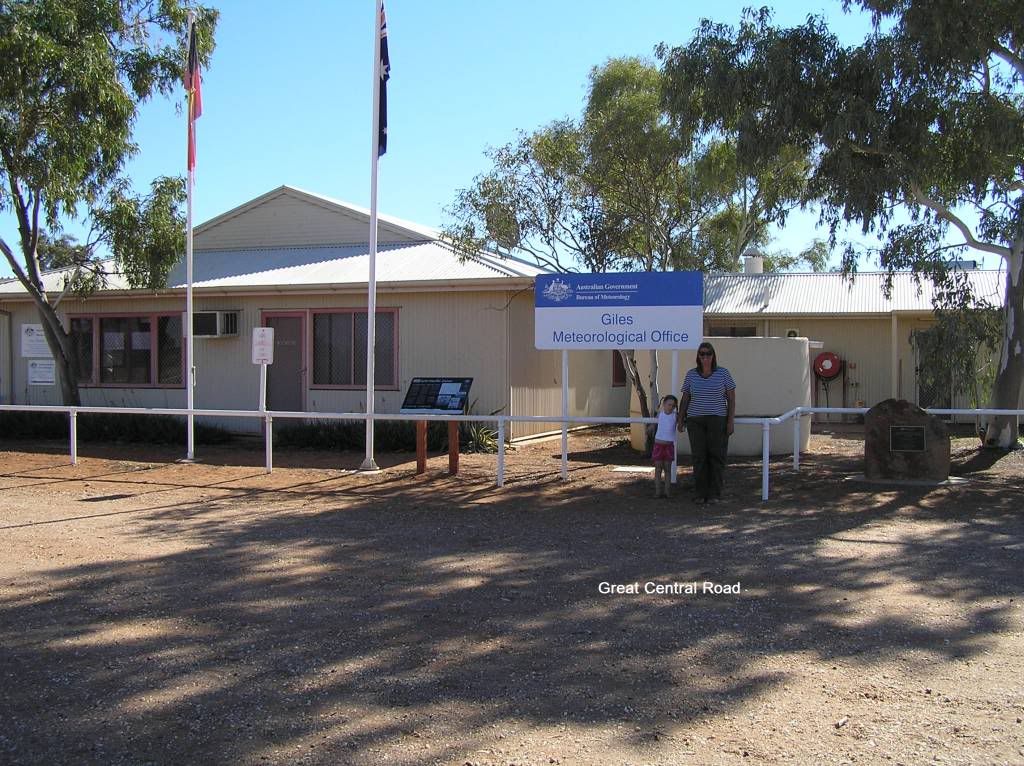
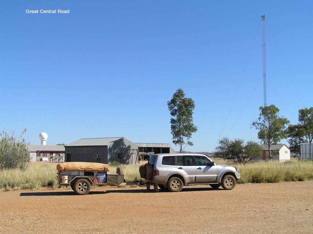
Then it was onto Warakurna for a look see at Giles. That was a welcome stop and the road house owners were great for a chat and a yarn.
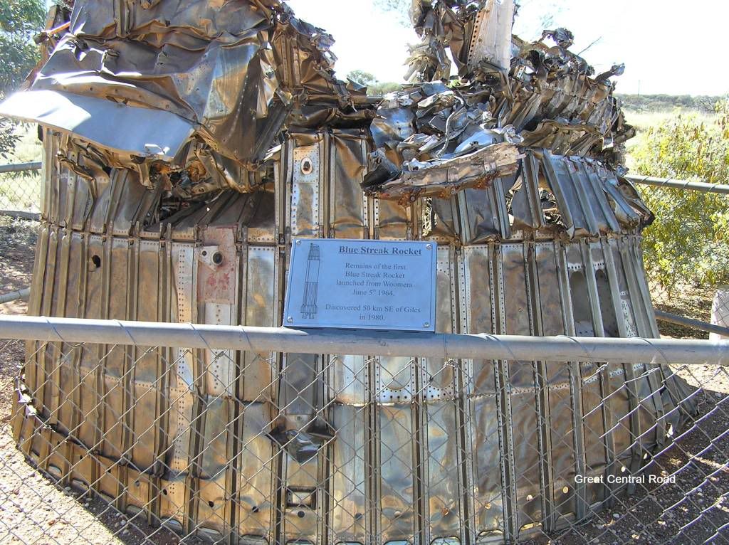
The blue streak rocket exhibit was interesting. Check it out on Wikipedia, a very interesting read. I did when I returned. A fascinating insight into rocket science, politics and the arms race.
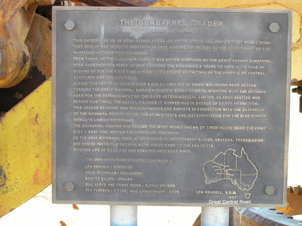
Also of note at Giles is Len Beadells grader. There is a lot of history in this one piece of machinery I tell you.
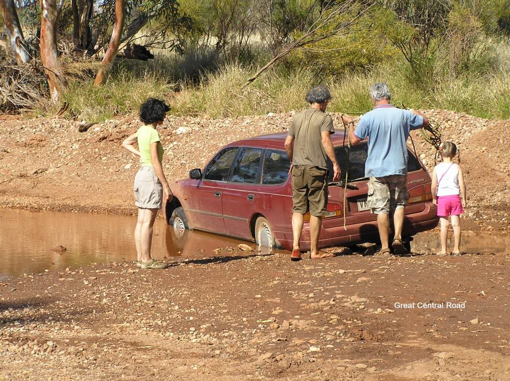
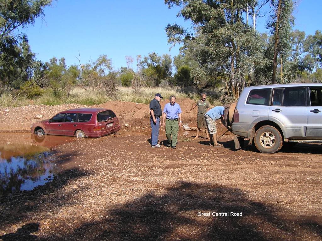
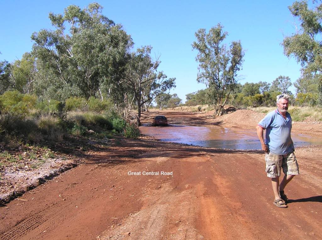
We found good overnight camping in 2 locations along the CGR. Keep your eye out for tracks appearing out of nowhere. You’ll find you’ll need to shed some brake lining and double back to them. There is very little pre-warning. The 2 we found were ex road crew sites and proved to be excellent in that they were far removed from the road, provided truckloads of timber and we were the only ones there. After night one, we made Warburton only to find the roadhouse had no food due to fluctuating power cuts. Never mind we made sandwiches and moved on. I was planning on making camp somewhere near Tjukayirla roadhouse that night, but a couple of kays out of Warburton and I lost an hour recovering a Camry and that put paid to that idea. Was a lot of ginning around, unhitching the camper, finding gear etc. Once out, he drove through the middle no issue. Go figure! I couldn’t be bothered unpacking the car to get a snatch strap. So I used some 13mm ex Abseil rope I had handy in the CT toolbox. The onlookers from Brissy that rocked up were most impressed that a pissant piece of rope had that much strength. Unfortunately the bowline I tied around his towbar was too tight to remove, so I lost a foot of rope. Oh well.....Later on, we found one of those road crew camps I mentioned above about 150K’s out of the roadhouse (which was our target) and made our second night on the GCR. That meant I had another 150Km’s to make up the next day
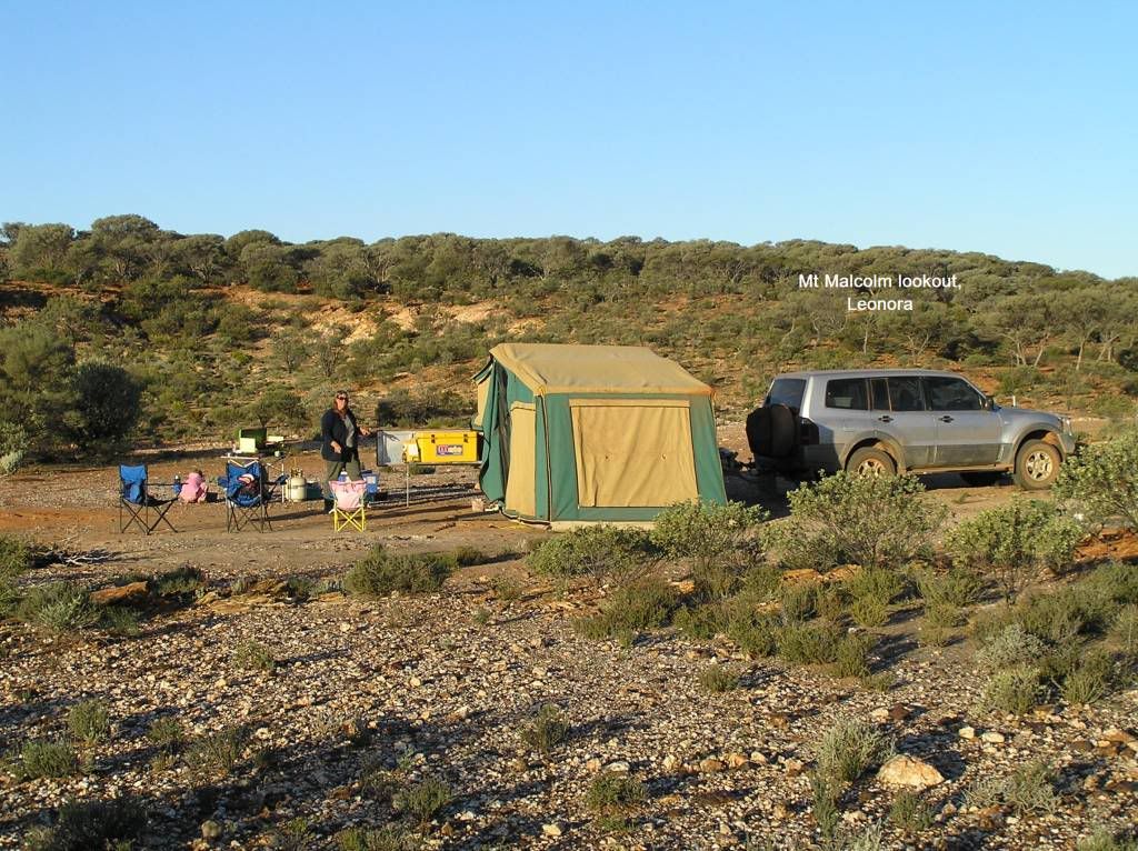
We were told Cosmo Newbury roadhouse had a cook that just loved to cook the best wares and loved to share. So we decided to stop in. I think we got it wrong. It was a pretty ordinary place, no roadhouse to speak of, and we got a microwaved sausage roll. I’m thinking now we were told Tjukayirla roadhouse, but either forgot or missed that part. Oh well, there’s always a next time. I could see a camp site on the digital mapping as we neared Malcolm Dam outside Leonora. I must have missed it. In retrospect, it looked like it was about 30K’s of the road. We went up a lookout just outside Leonora, and it just looked the perfect place to camp. So we did. Great little place for an overnighter.
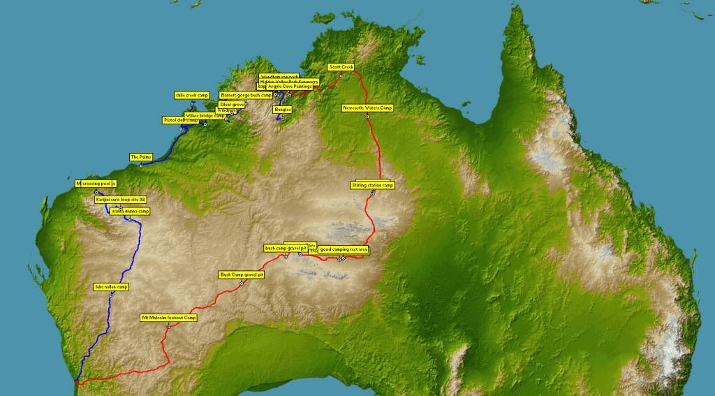
The next morning we made a 900Km push for home. We didn’t need to set camp if we made it, so I went for broke. Between Leonora and Kalgoorlie, I overtook a road train. Halfway alongside and an approaching road train comes into view. This wasn’t good as I was almost out of legs. But I planted the smoke maker into the floor and completed the manoeuvre successfully. Then one of the very few times the uhf came to life for the whole trip came “to the pajero owner, many thanks, you just broke my windscreen”. I replied I’m very sorry mate (still cant believe I threw a rock high enough to take out a cab overs screen). Some smart arsed comment flew back from the truck I overtook about campers + 4wd’s shouldn’t be allowed on the road. Seriously, what had I done wrong. I was on the blacktop, didn’t put a wheel in the gravel. All I did was overtake a road train. I apologised to the truckie and continued on my way home with the belief I did nothing wrong to warrant the abuse. I can see his point, I wasn’t impressed coping a dent in the bonnet and star fracture to my screen, but I wasn’t hauling ass on gravel towing a van. The next few hours were a dawdle through the wheatbelt, finally reaching home about 730pm after 6 weeks and 10,500Km’s of travel. Oh yeah, my own bed tonight. Now I’m back at work into the swing of mundane life, trying to find the time to maintain and repair all the bits that need attention, and dreaming on when and where my next 6 week adventure will be. I hope you enjoy the read, and get out there like I did. I’m only too willing to offer any advice on my journey should you wish to ask.


















Great blog, thanks for posting. Lots of useful info I shall be using in the future. Magic pics add to the desire to go.
ReplyDeleteReally enjoyed the read. Nice work.
ReplyDelete