Sunday 31 May - Tuesday 2nd June 2015
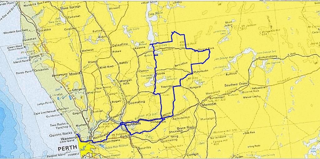
What started out as a wheat belt trip to examine some of Charles Hunt's expoits of digging wells for a pastoral route in 1864, turned into a last minute change of rocks and gnamma holes, still keeping with the theme of "all about the water". Bruce and his son James were on the list from the start. Trevor, Paula and their 5 month old made a last minute decision to Join us on the Monday night. So just prior to leaving, I had to pin down a meeting place for Monday. I chose Beringbooding Rock and therefore had to leave most of the wells behind. The following is my account of that trip.
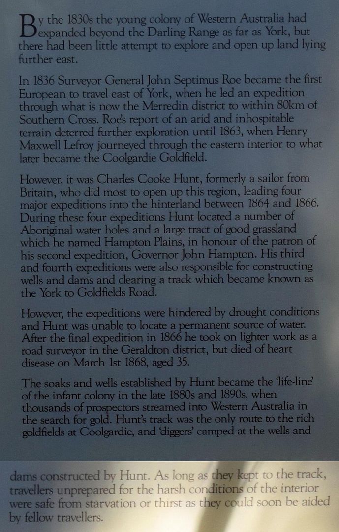
The picture below gives a brief run down on Hunt's remarkable work. It however doesn't do justice for the hardships encountered:
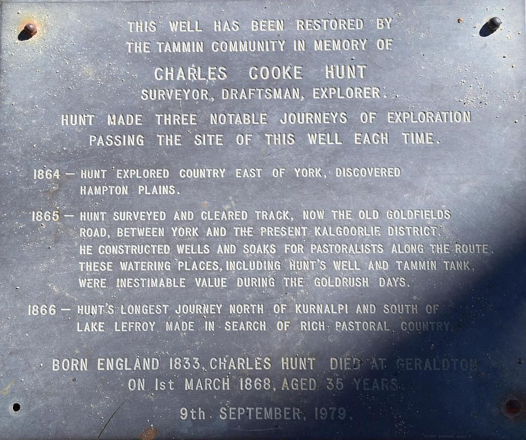
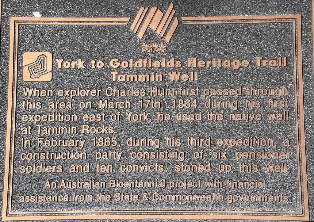
And a bit more on his expeditions from a plaque at Tammin:
Research I did into finding the locations of these wells was not very successful. If anyone reading this could provide me with their locations, it would be very much appreciated. Another trip to be continued. I hold all these early explorers in the highest regard. As a society, we owe them a lot. As such, I like to follow their journeys and reminisce of yesteryear.
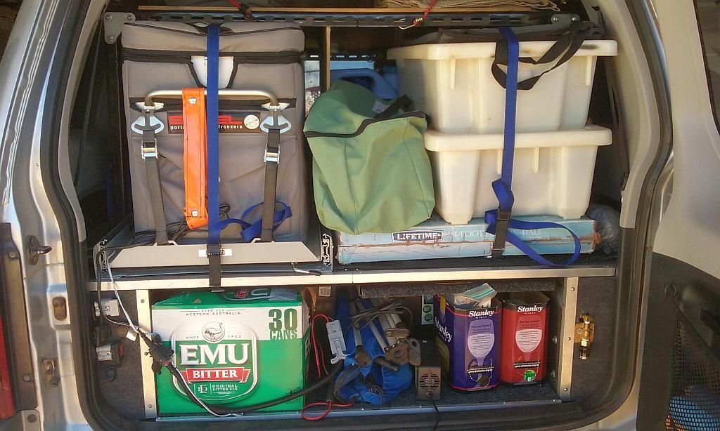
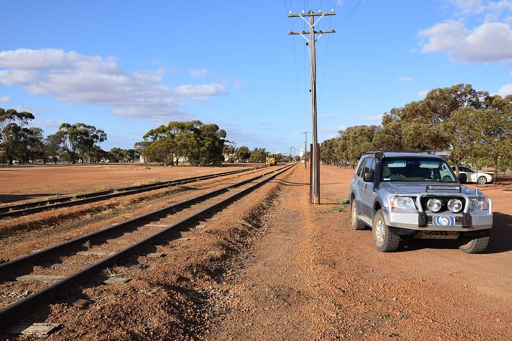
So with the car packed, I hit the road:
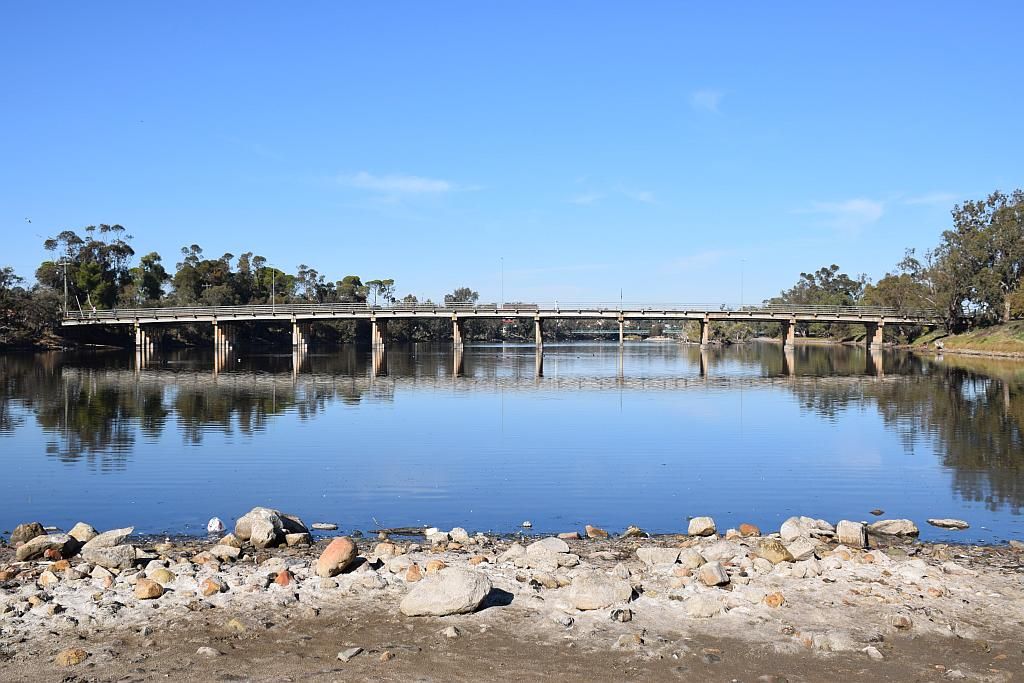
I met up with Bruce and James at Mundaring. From there we headed out to Northam. A stop at the weir was a must (some years ago, I was involved with the in-water rescue for the Avon Descent). The weir is the start of this 2 day marathon held in the first week of August. A beautiful crisp and still morning:
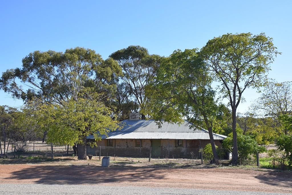
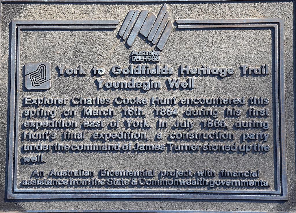
From Northam, we meandered towards York and turned off on the Old Goldfields Road. First port of call was to check out the old police station at Yondegin and Hunts first well.
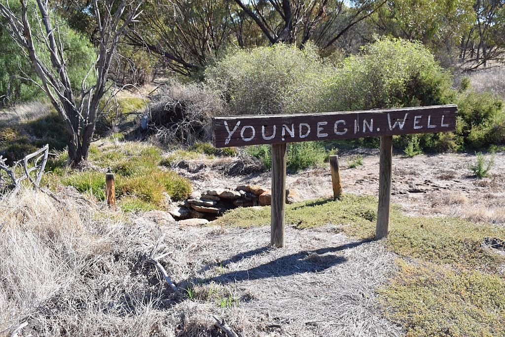
The well itself is not an elaborate affair, but no doubt it was a must for those poor souls pushing their barrows from Perth to the Goldfields:
I had some GPS co-ords for the well and subsequently honed in on the position. Unfortunately this took me to the middle of a paddock with no well to be sighted. As it turns out, the well is in plain sight from the old police station to the East, adjacent to the road.
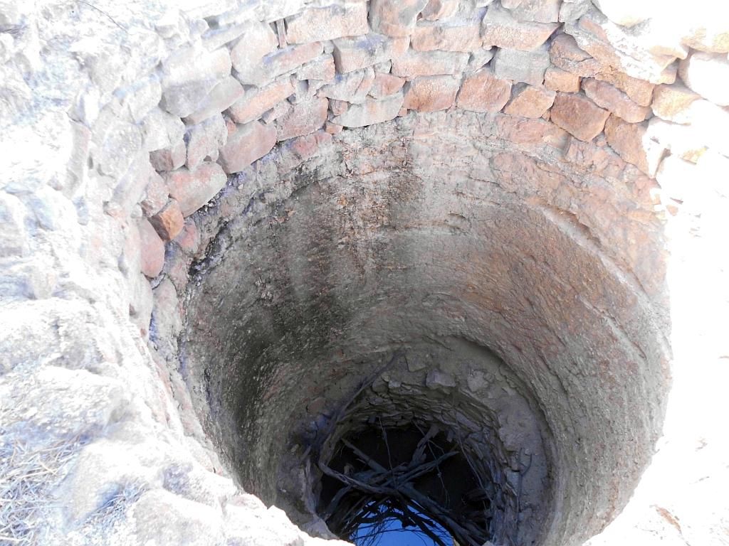
After a bit of a look around and some photo's, we headed off for Tammin. I had this well marked from some maps I have. Prior to reaching this waypoint, I passed a sign "Hunts Well" and turned to investigate. It appears my maps are marked incorrect. This well was impressive. The grate stopping one from determining its depth.
Its 150 years old this year. Its in remarkable condition (even though it has been restored). Whilst here I could not help to think about the efforts gone into both digging and lining that well with stone all that long ago. Just amazing when one thinks of it, considering the tools at their disposal and its remoteness in the day.
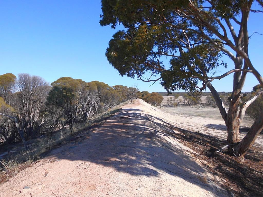
Close to this point I had incorrectly marked as the well, the map showed a reasonable Dam. So I decided to drive up there to both check out the dam and see if this marked well did actually exist. Whilst I didn't put boots in the dirt, a drive by didn't show any signs of a well. And the dam, well if that's what you call it? A reasonable sized bunting of dirt on the inside full of vegetation. I guess with the winter rains it does hold some water, but its not what I think you would define as a dam.
Its now 1300 and I'm thinking of camp for the night as the sun pokes its head over the horizon about 1730 at this time of year. If I head East, I will be to close to Beringbooding to make Monday a worthwhile day. I could head up to a known ground at Mt Marshall (which I recall had a plentiful supply of timber) or I could try some new ground. I decided on the latter and will use Mt Marshall as a backup should Mollerin Rock not prove to be a suitable place of abode.
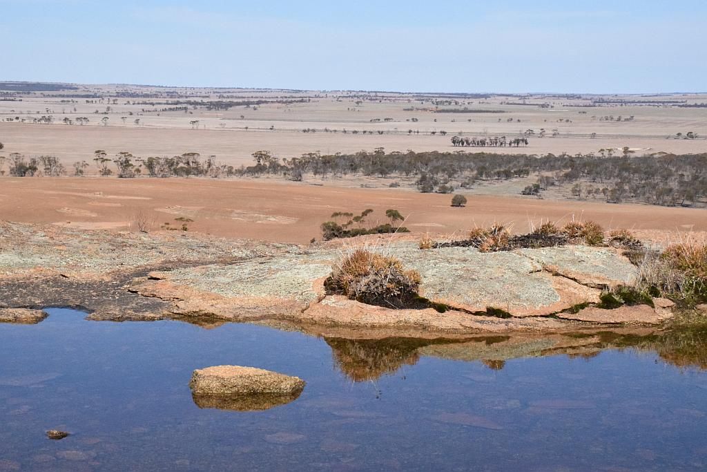
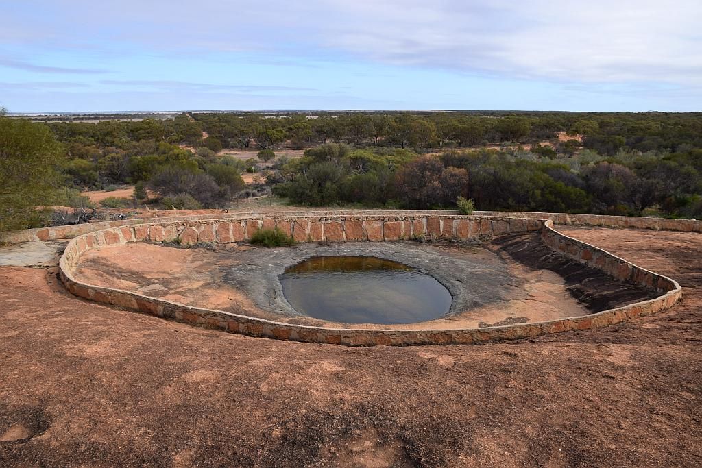
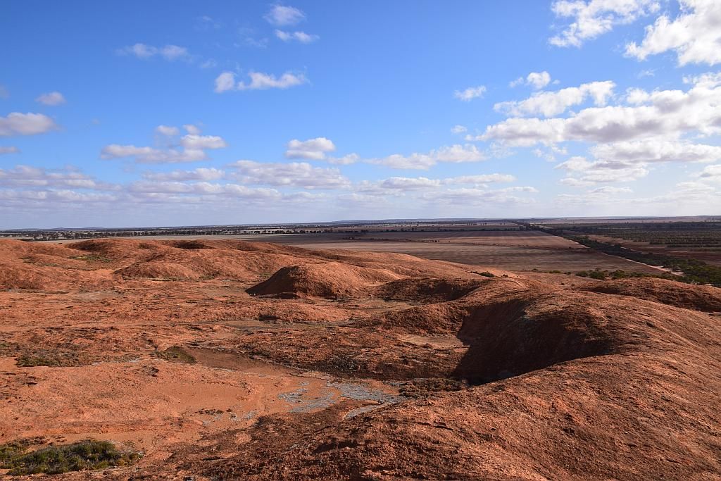
What I didn't take into account was the fact Mollerin is some 150Km's from Tammin. My plan was to be in camp around 1500, leaving time up our sleeve for collecting firewood and/or relocating to another site. So this 150Km's is pushing us to the limit. Approaching Yorkrakine Hill. a large prominent granite peak is visible for some miles off. It was too much of an allure to not pull in and have a look. The view from the top was superb. It even contained water in the depressions at its summit:
Another half an hour eaten up, but it was worthy.
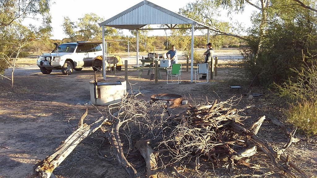
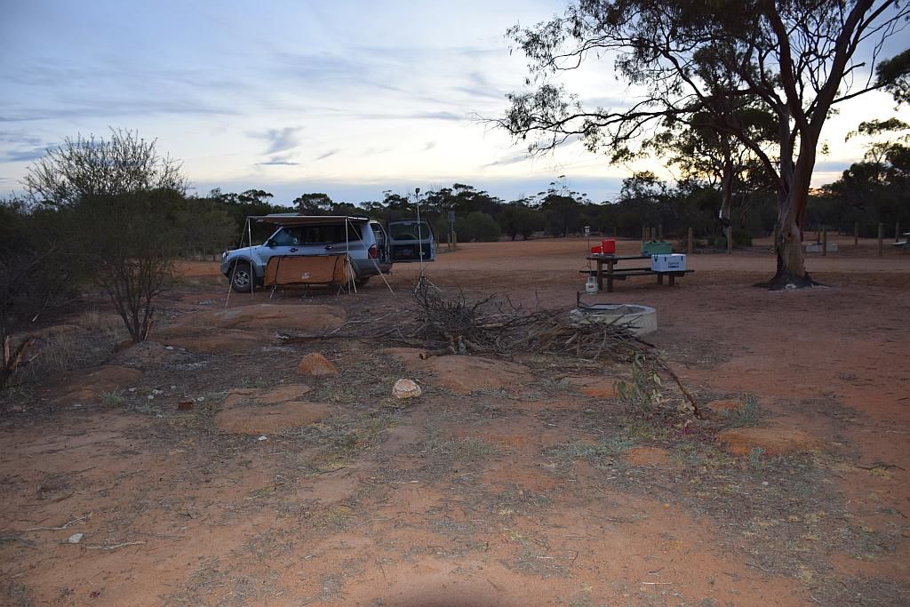
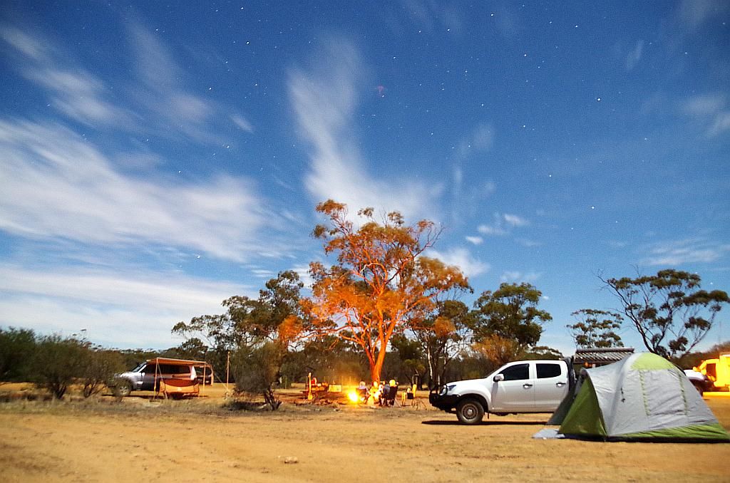
We continued pushing on through Wyalcatchem and Koorda and eventually poked our nose into Mollerin Rock at 1515. So almost perfect timing. But what was perfect was the camp itself. Not a soul around, a nice sheltered picnic table, camp fire ring a toilet and best of all, very little rubbish. It has to be one of the cleanest places I've camped at. Coupled with probably the best weather I've ever camped in (not a leaf on a tree was moving all night), it left me with a lasting impression and I will return, no doubt.
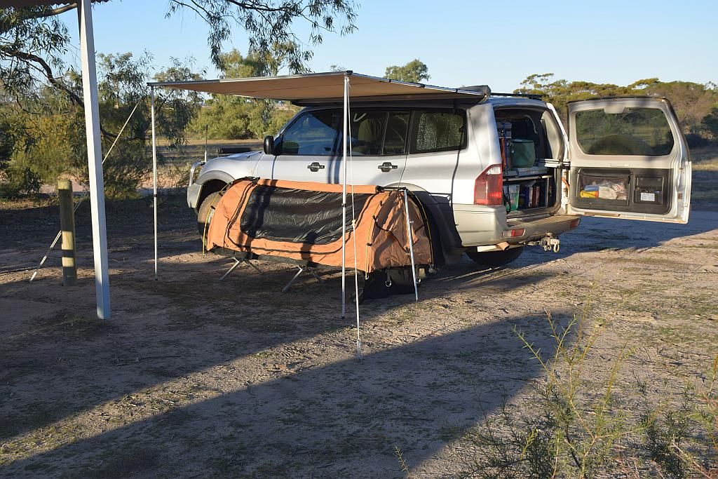
A beer to wash down the day and we were into it. Whilst the boys set up their tents, I gathered some timber. Once I had a small pile, we swapped roles, they got some more lumber, I set up the swag. It ended up being one of the best nights due to the company, the weather and the site.
In the early hours of the morning, the breeze had picked up which made it a cooler start to the day. I was at the limit of my comfort factor in the swag that night. Over the 3 days we were away, the temp monitor I use for the fridge, which incidentally logs ambient, recorded a minimum of 3.9 Degrees. I would suggest it was here that was recorded. I needed to visit the toilet and was almost bowled over when I opened the door. I have never, ever, seen a more quality establishment at any campsite. This place rocks and I promise to email Koorda shire with a big congratulations for their efforts in maintaining this site. Well done guys (and the campers prior that have looked after the place).
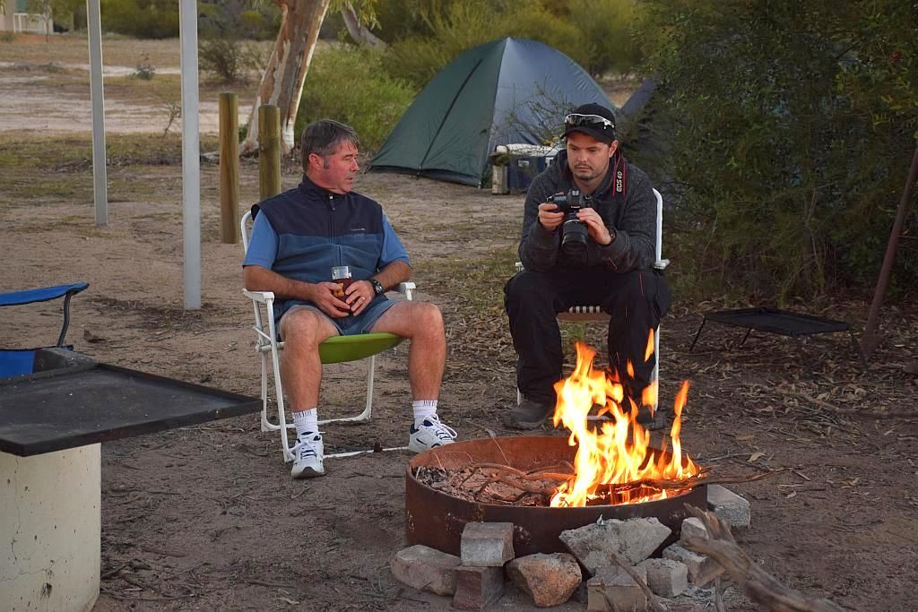
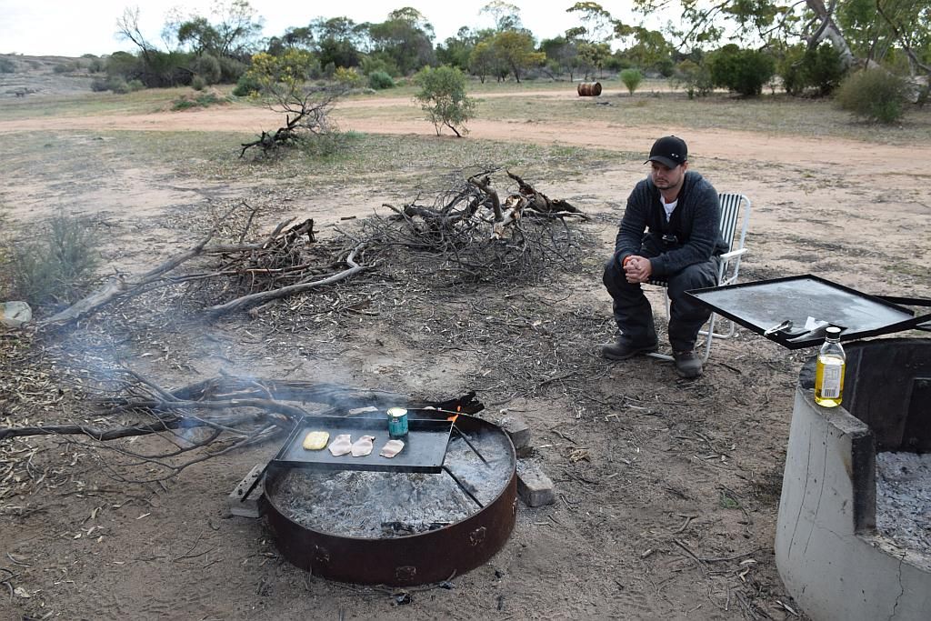
A late start and we got the fire going again for breakfast:
Poor James sits in misery as he contemplates 3 days without the tomato sauce dad forgot to pack.
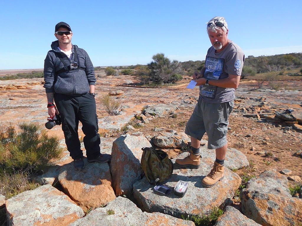
We clean up, pack up and head for the rock. Bruce is intrigued about this geocaching thingo I get involved in. I told him its the art of using expensive technology to find tupperware in the bush. We climb the rock and I soon have the cache in hand, educating Bruce and James in the process. By the time all this is done, its 11am and I decide to head further North for another cache. Its not like we have a lot of miles to cover today to make Beringbooding, so we can relax a bit.
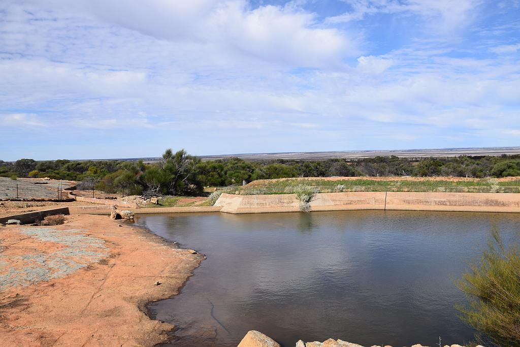
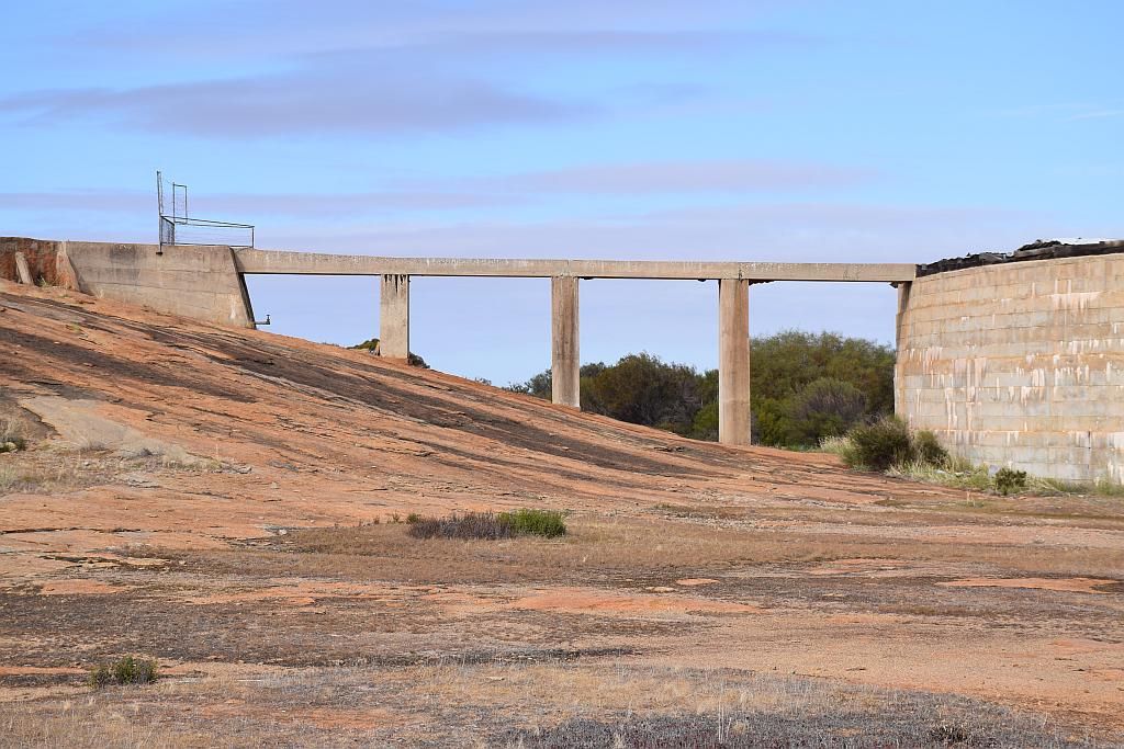
We have a short journey to get to Collier Dam. Its not only the natives that utilise the natural catchments of granite peaks that litter the landscape for the collection of that precious water. this one has had a bit more engineering go into it than the lighting of a fire to open the hole a bit bigger:
And whilst there I obtained the evidence of another cache log signed:
It was a one way in, one way out trek for us. On the way in, we crossed the base of Lake Moore, a rather substantial salt lake. I decided we needed a stop here to check out the lake at ground level. AC Gregory found Lake Moore the hard way back in 1846
25th August.
At 7.30 a.m. resumed our journey on the same course as
yesterday, and at 9.15 came on an extensive flat covered with
salicornia, which formed the margin of an immense salt marsh or dry
lake, extending to the north-east and south-west to the horizon,
but narrowing to about three miles at the point we came to it. It
was decided to attempt crossing at this place, and, after
travelling for an hour across the salicornia flat, reached the bare
salt marsh. This at first seemed firm; but, after half-a-mile, the
hard crust of salt and gypsum, which formed the surface, gave way
and three of the horses were bogged almost at the same time. After
a long ineffectual struggle to extricate themselves they were quite
exhausted, and we waded through the mud to the opposite shore, a
distance of half-a-mile, and cut some small trees, and with them,
combined with tether ropes and saddle-bags, formed two hurdles or
platforms twelve feet long and two feet wide. These with much
difficulty were taken to the horses, and by placing them
alternately in front of each animal, worked them over the soft mud,
and after six hours of severe exertion succeeded in reaching the
firm ground. The hard salt crust, though apparently strong, having
once been broken, its edges gave way like thin ice. After reaching
the ground, which was dry enough to bear the weight of the horses,
we had to travel about three miles through soft dust of white
gypsum, in which we sank from one to two feet, but at length
reached a large granite rock, at the foot of which there was a
little grass and on the rock some small pools of rainwater.
Latitude 29 degrees 37 minutes 30 seconds; longitude 117 degrees
38 minutes.
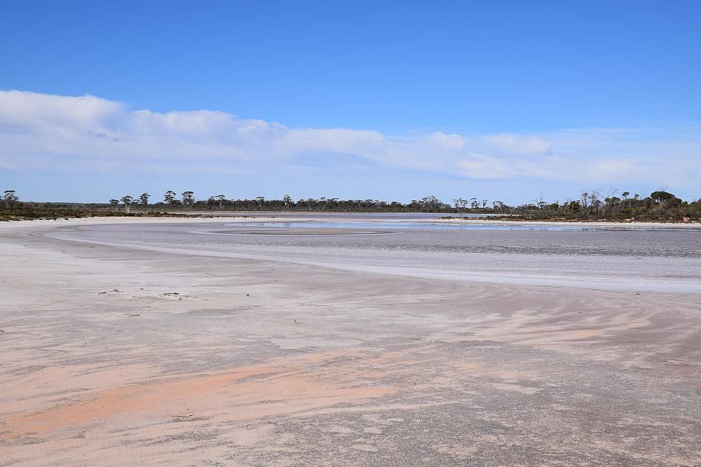
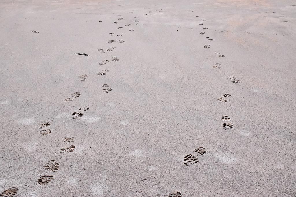
Luckily for us, we did not break the crust and have to endure hours of torture extricating ourselves. It is these types of hardships that I admire the most from our pioneering stock.
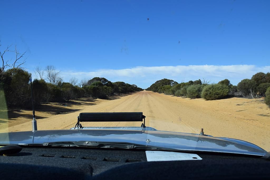
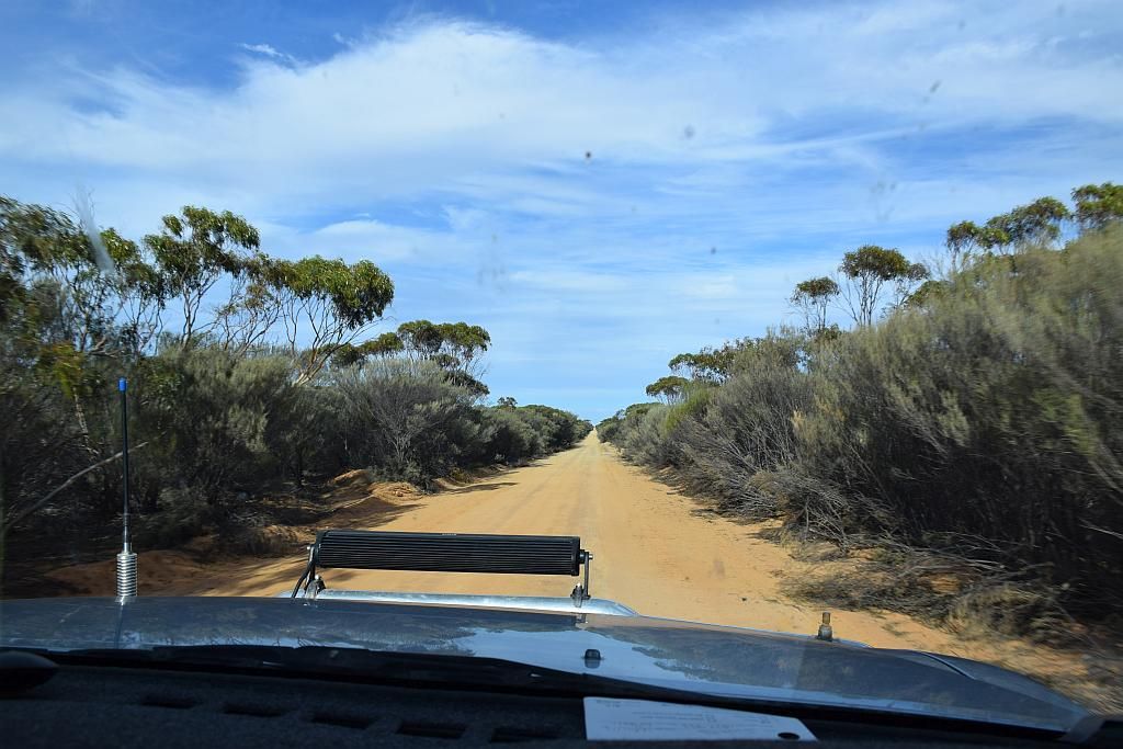
I need to make mention of these North East Wheatbelt roads. They are nothing short of bloody fantastic. Its a credit to the shires that maintain their upkeep:
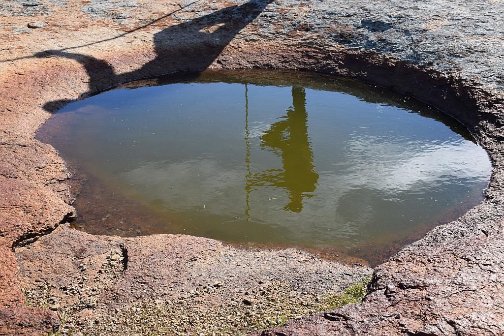
From there we headed East for the Yelarri Gnamma holes. And an impressive bunch of holes they were too. Dipping a log into the holes, showed they were of quite some depth. They must have been a very valuable resource to the natives of yesteryear.
I believe this is Forrest's account on finding then in 1869:
May 3. — Steering in a northerly direction for 16 miles, we reached Yalburnunging, a small grassy spot, with water in a native well, which we deepened four feet, and procured a plentiful supply. For the first 9 miles over scrubby sand plains, after which we came into dense thickets and stunted gums.
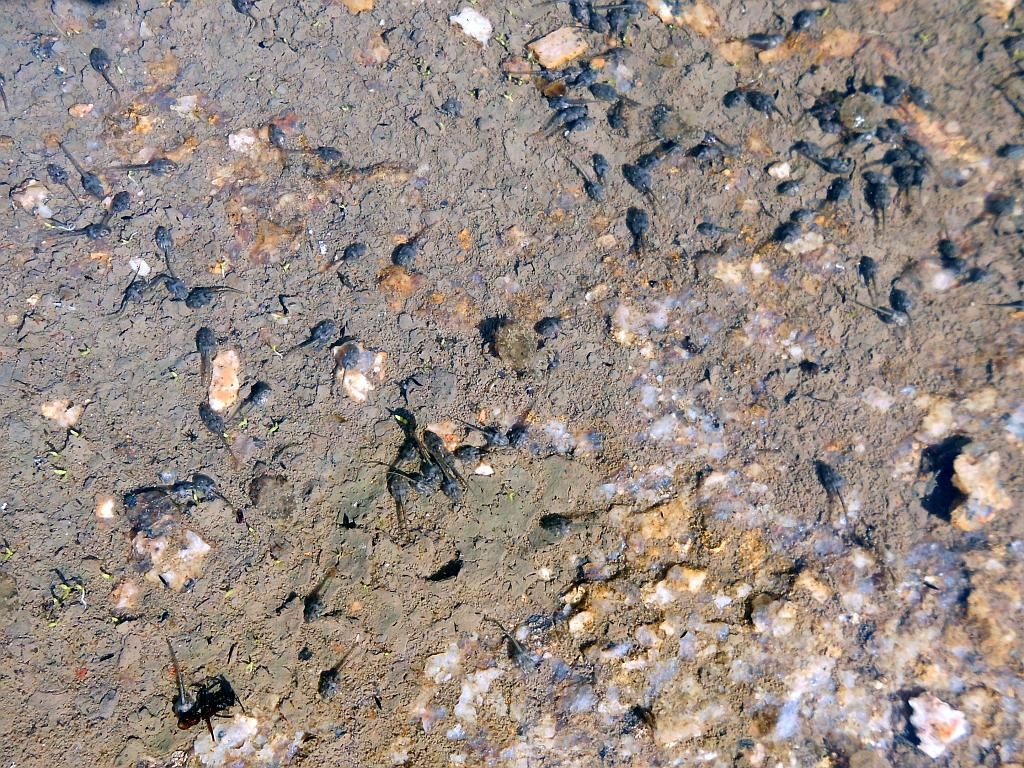
The waters swarming with tadpoles. An amphibian paradise:
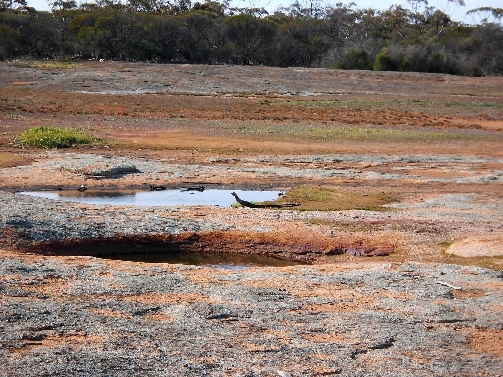
Back at the car, Bruce got conned. He subsequently conned myself as well as he made me look towards a reptilian by the waterhole. What looked like a Goanna from a distance, was in reality only a log:
Lunch now done and I decided a bit of a detour to the North was in order. Out to Billiburning Rock, so named by the 22 year old surveyor and later to be the first Premier of WA, Sir John Forrest:
Circa 1869:
May 4. — Steering towards Mount Churchman, or Geelabbing, for about 15 miles, we reached a grassy spot called Billiburning, and found water in a native well, probably permanent. At 8 miles passed a waterhole in some granite rocks, called Guaragnun ging. Dense acacia and cypress thickets most of the way.
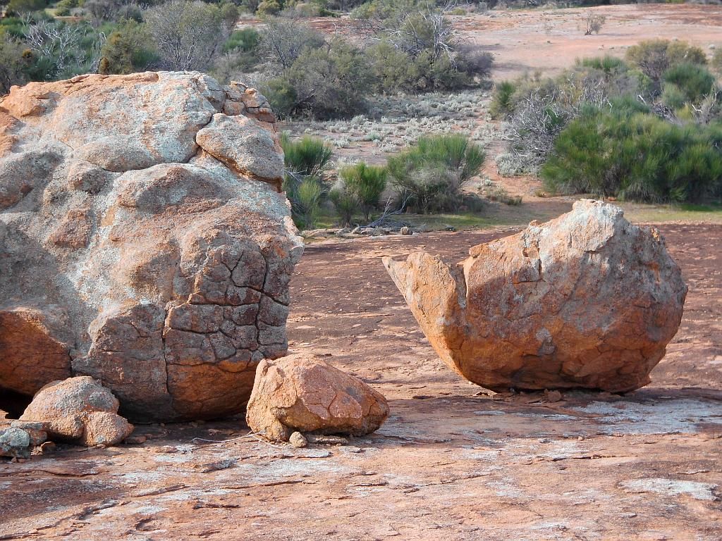
No doubt this one made a racket when it split from its mother:
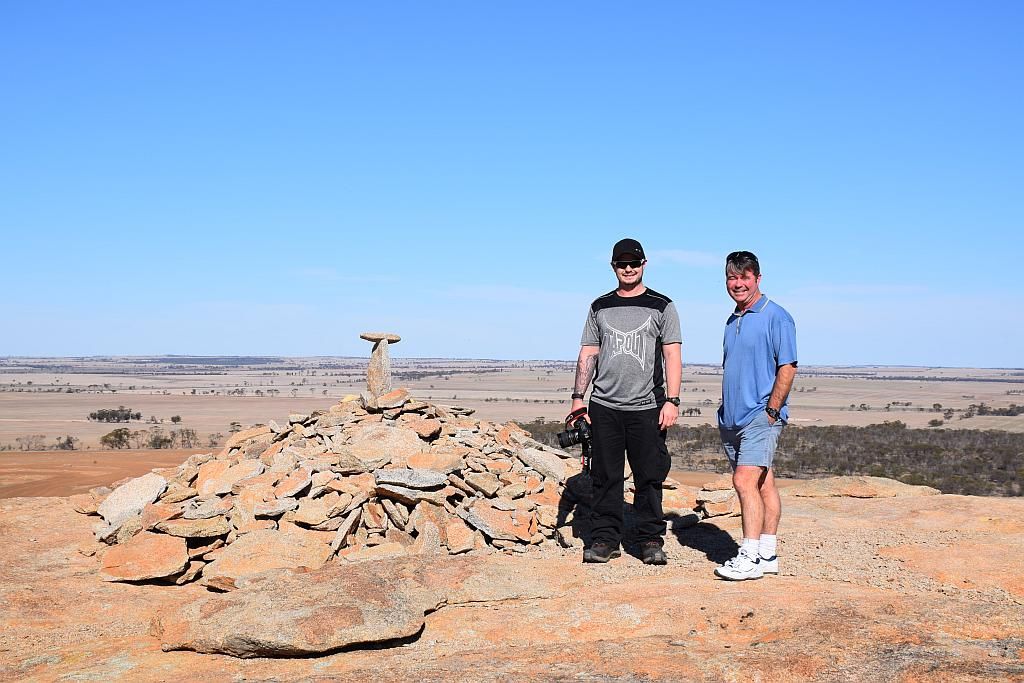
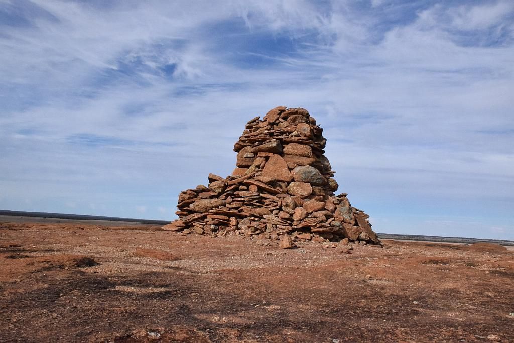
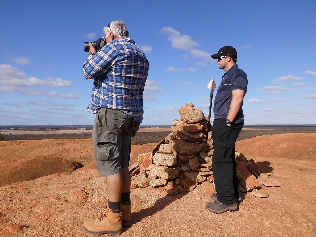
And the typical Cairn at the top:
It was about 1430 when we left Billiburning and we still had some distance to travel to make Beringbooding. I had told Trev before I left I would be there by 1600. So time to get a wriggle on. But that doesn't mean a diversion isn't called for.
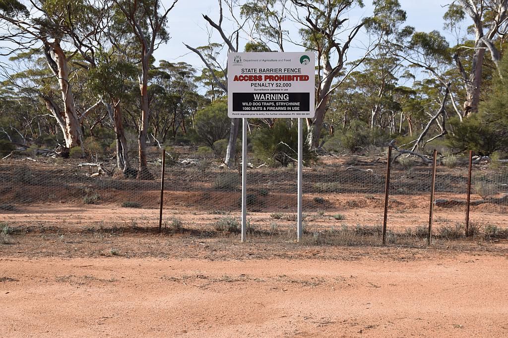
I decided to follow the Emu Proof Fence Road to the Bonnie Rock Road, where we could push East to Beringbooding.
The road here again was the typically brilliant well maintained road (sans the one foot high termite mounds in the middle of the road, one which I poorly aimed at and left a cast of thousands without a home), but it was heavily vegetated. On the boundry of the Karoun Hill Nature Reserve, I had to reduce my speed if I didn't want to push the skippy flicker into action:
I had seen a couple of Roos, so we decelerated to warp speed factor 5. The beauty of that was it gave me more time to not do a Nagasaki on a Termite city.
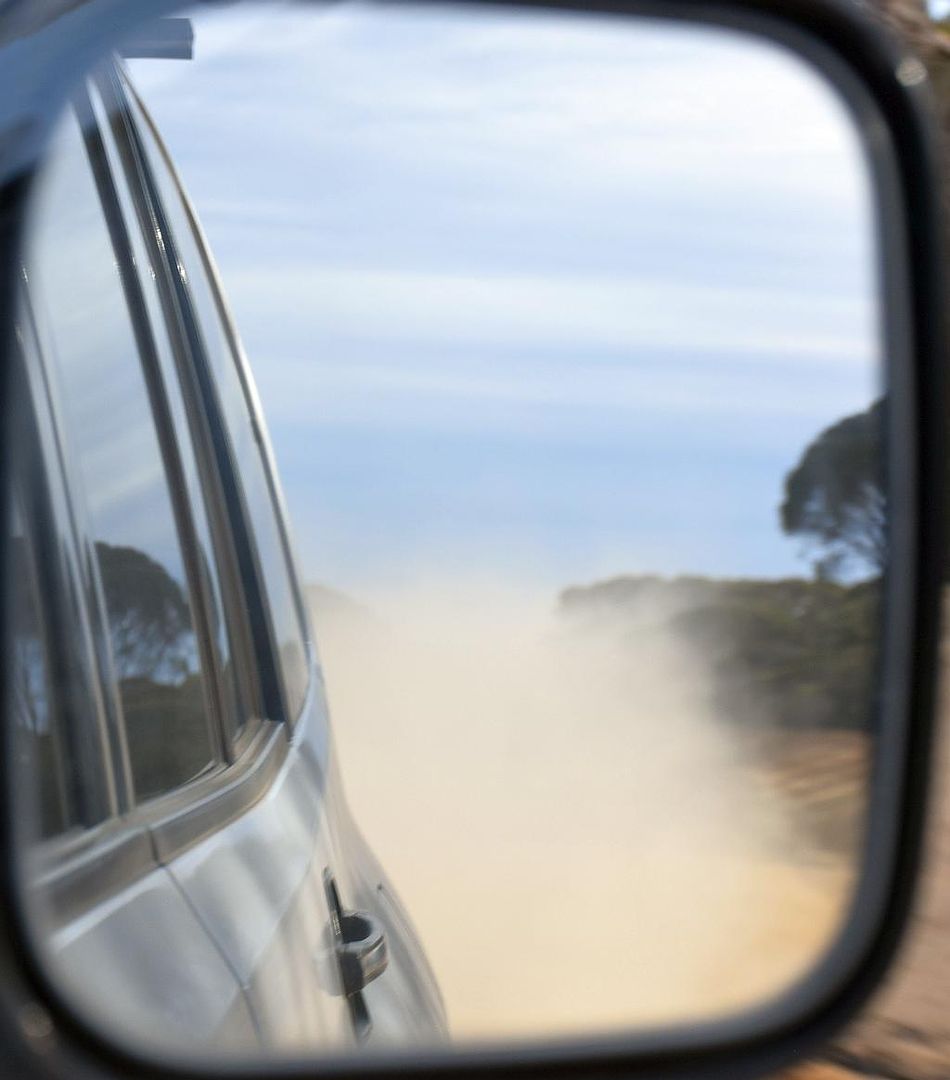
That being said, the dust was still the same:
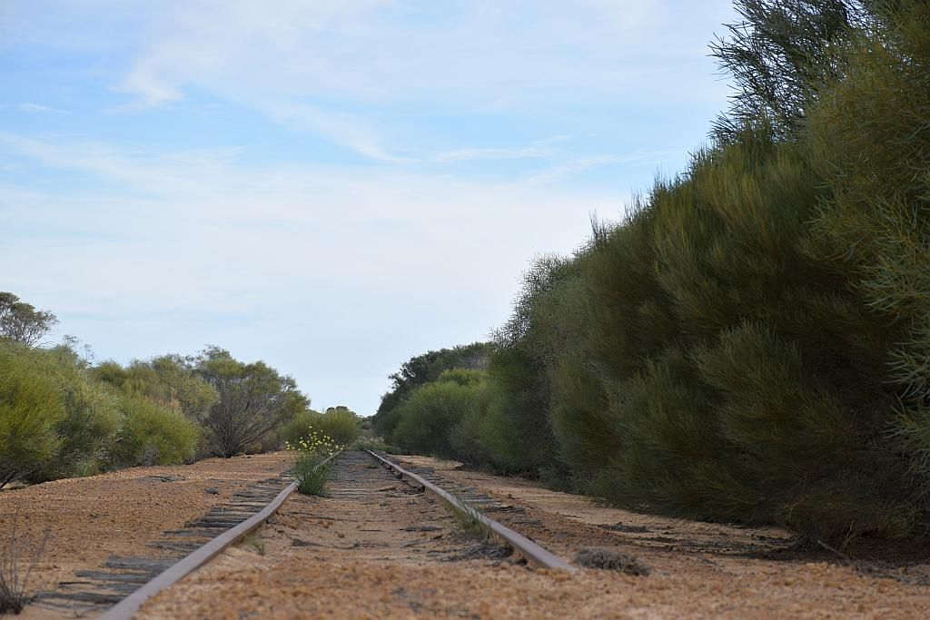
Crossing the now closed Tier 3 Bonnie Rock Railroad, left a sad note of days gone by. Such a shame to see the bush reclaiming a piece of history:
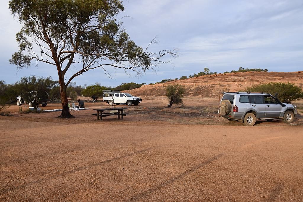
By now its 1530 and I've still some distance to go to make camp. 1600 is going to be pushing it. But as luck would have it, the car was parked up at camp at 1601. Again my main priority was a beer and wood. Within 10 Minutes, Trev, Paula and bub arrived. Talk about perfect timing.
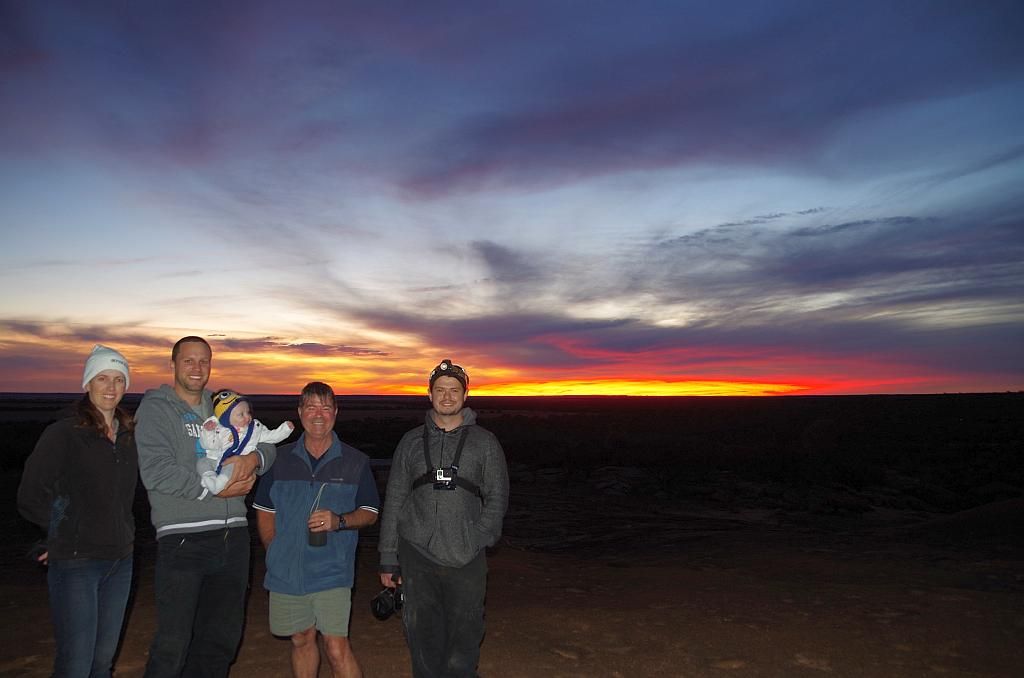
Whilst I collected some wood, Trev, Bruce and James erected their tents. Then again we swapped roles whilst I rolled the swag out. When we had enough, they climbed the rock to view the sunset whilst I did the camp chores:
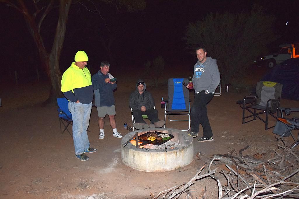
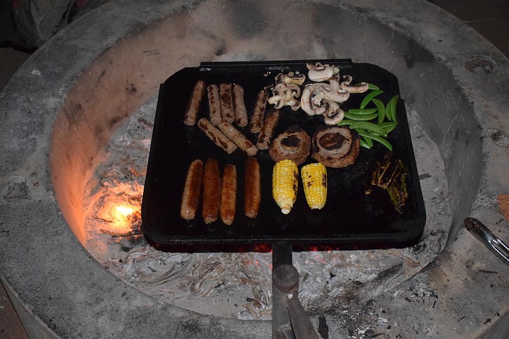
I had planned to finally catch up with fellow CWA member Rossco today. But Monday Morning, his work plans had changed so he said he would meet us at Beringbooding for the night. I mentioned I had enough food, so I would cook him a camp dinner, to which he obliged. Not really sure of the time he turned up, but I know I had camp sorted, the others were up top and I had a beer in hand. Life was good.
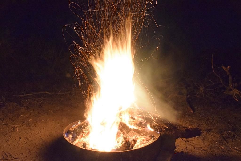
We had an enjoyable night by the fire. When someone mentioned it was nearly midnight, I think we were all surprised by the fact.
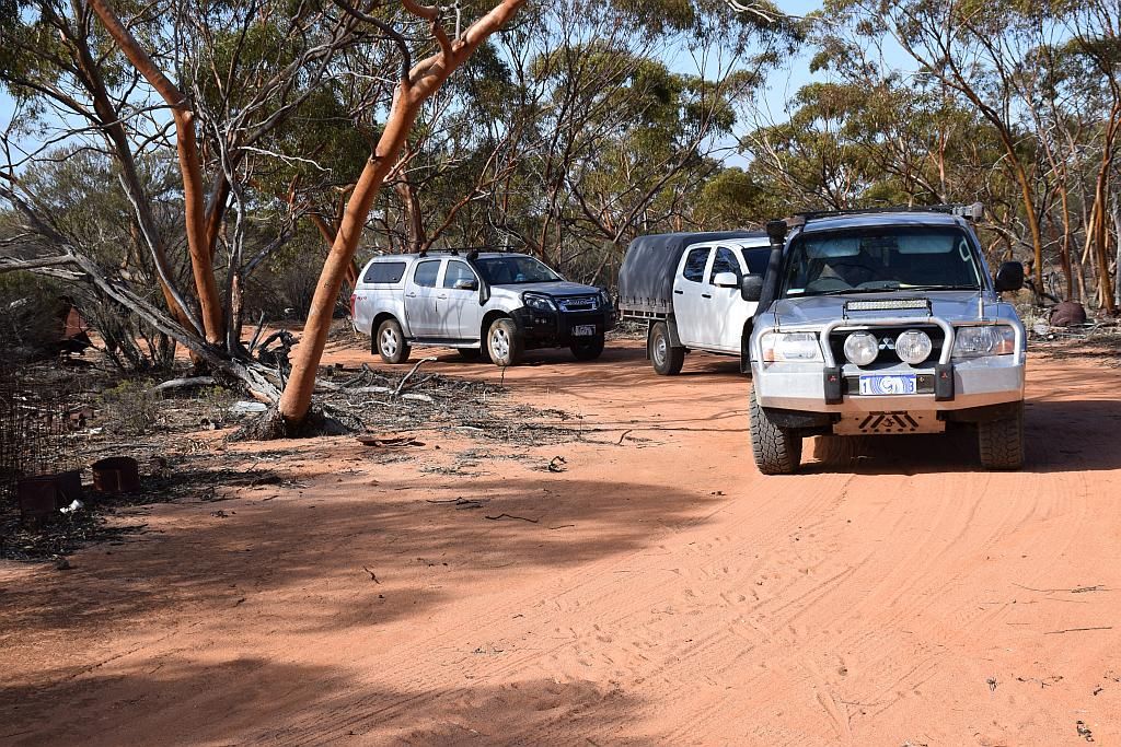
Again I arose late in the morning and missed Rossco. Didn't even hear his 4.2L GU ute leave camp. I have to admit, and I'll probably cop a bit of punishment from the Paj boys, but I do have a soft spot for them. Next time you're in the big smoke Rosco, or I'm out your way, we will have to catch up again.
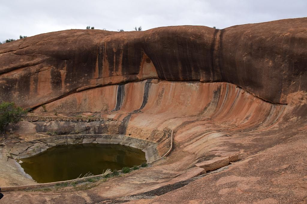
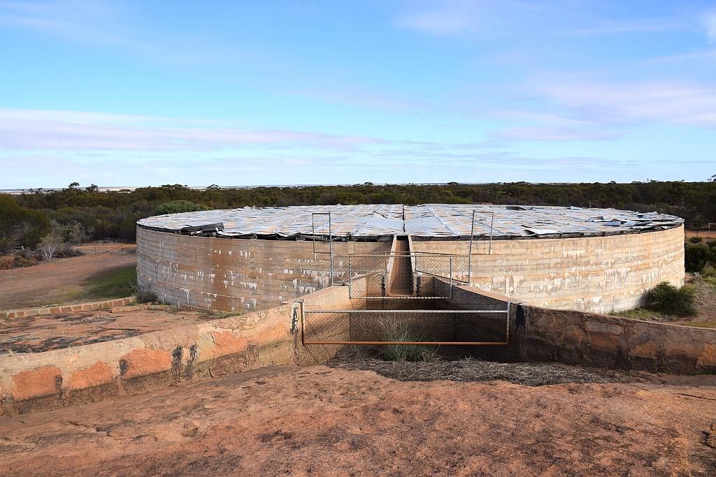
A late cooked breakfast, followed by pack up and we hit the rock. Beringbooding, constructed in 1937, is the largest natural rock catchment in the country. The tank holds 2.5 Million Gallons of water collected from the flow diversion constructed upon the rock.
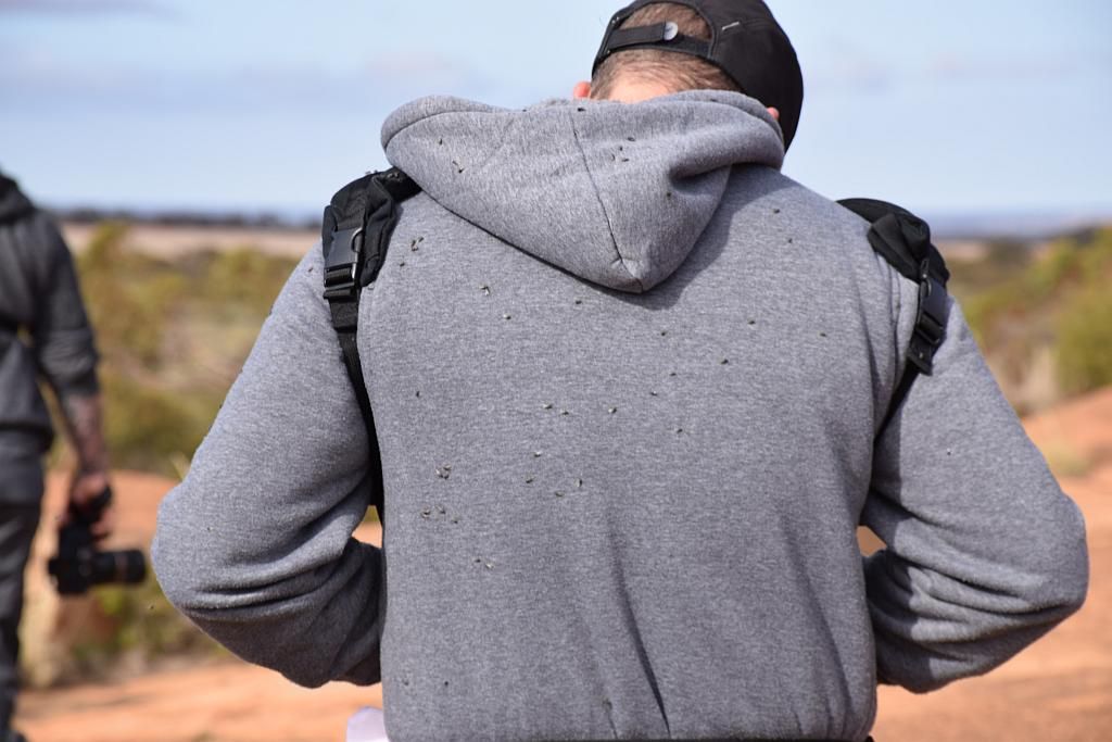
I think I have somehow forgot to mention the flies. Lucky Trev is a strong bloke:
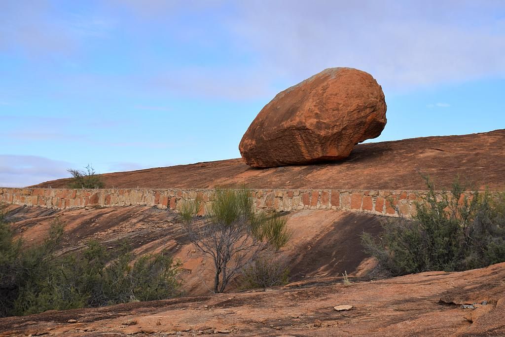
The balancing boulder and the tank are certainly stand outs.
By the time we had finished our explore, it was 1100 again. I took the crew up the Baropin track to Baropin Rocks and Monsters Valley.
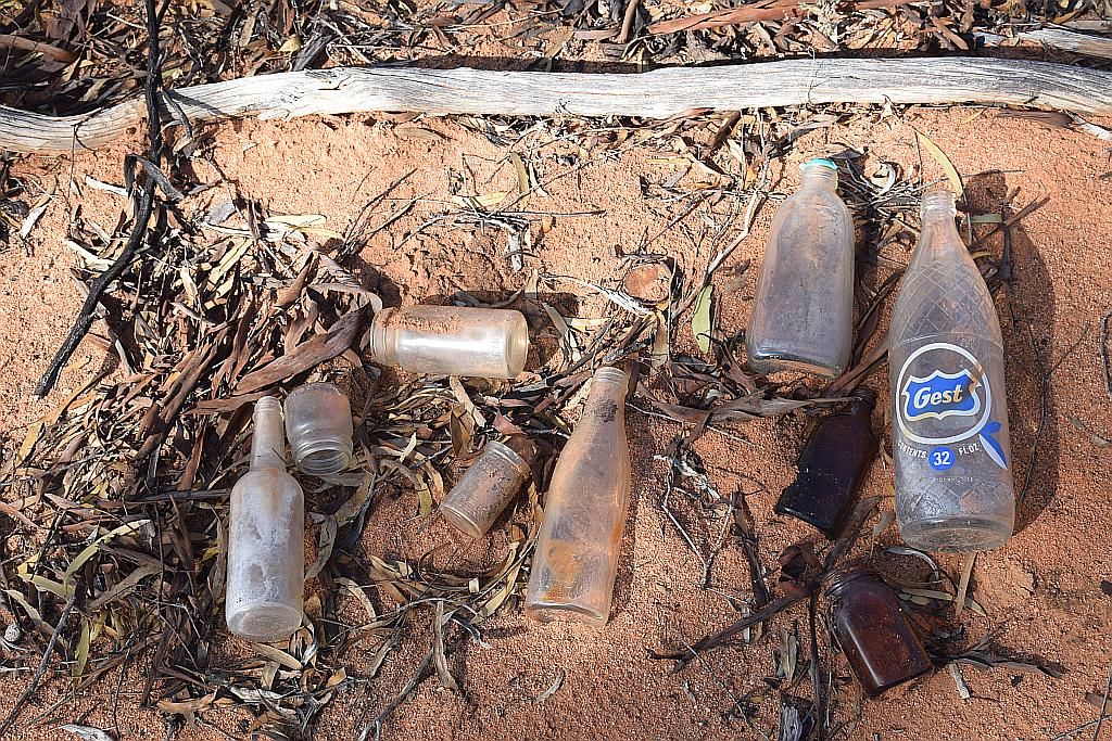
Stopping at the old dump ground, Trev found where someone earlier had extracted some old bottles from the flotsam:
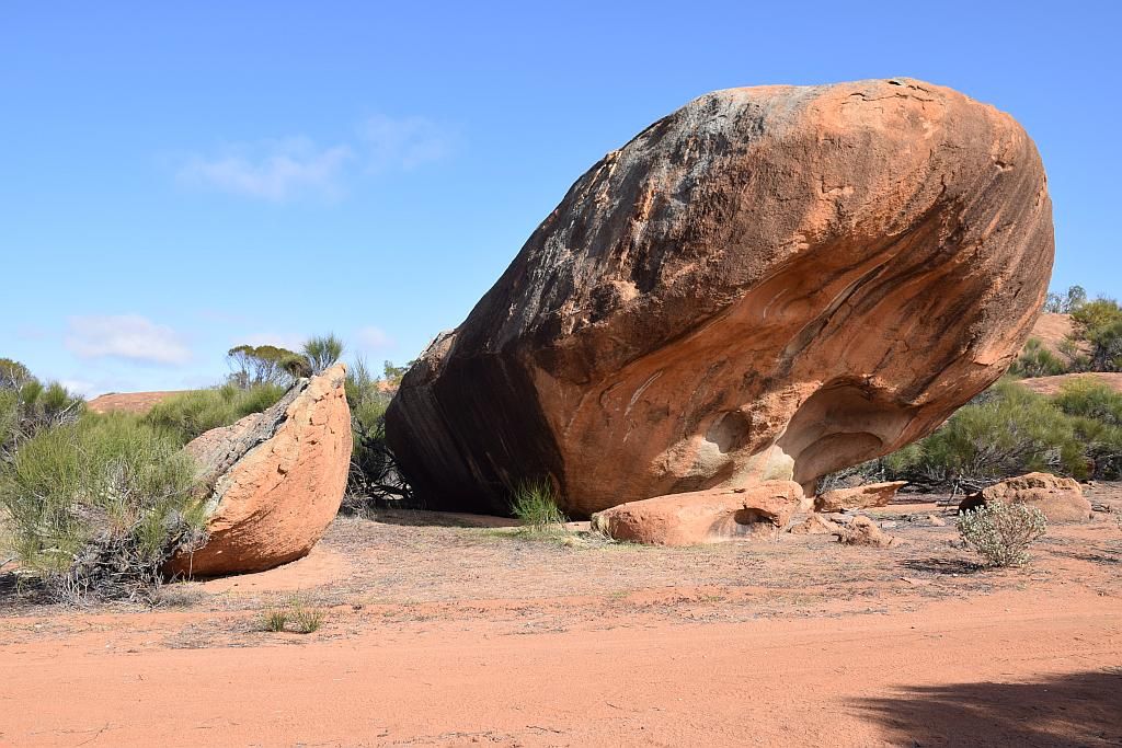
And onto the rocks:
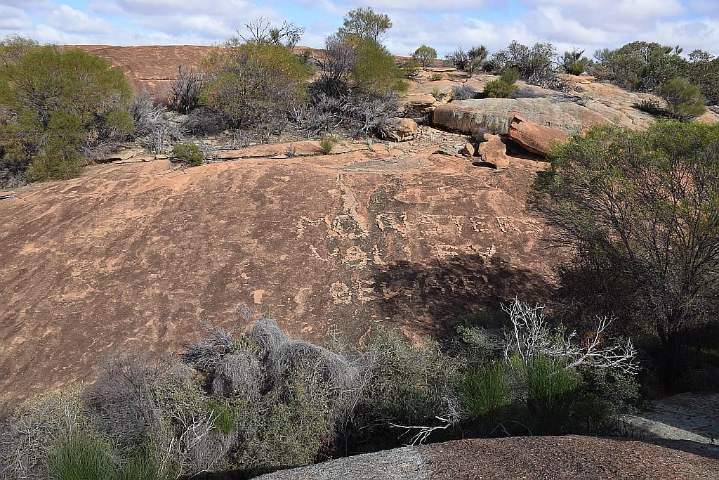
Whilst we were here I decided to check on a cache that I was first to find last year. The message on the rock face to beware told me I didn't need a GPS to hone in on ground zero:
By now its midday and Bruce, James and I still have to make the trek back to Perth. Being Tuesday and the long weekend well and truly over, I decided we should visit Elachbutting rock.
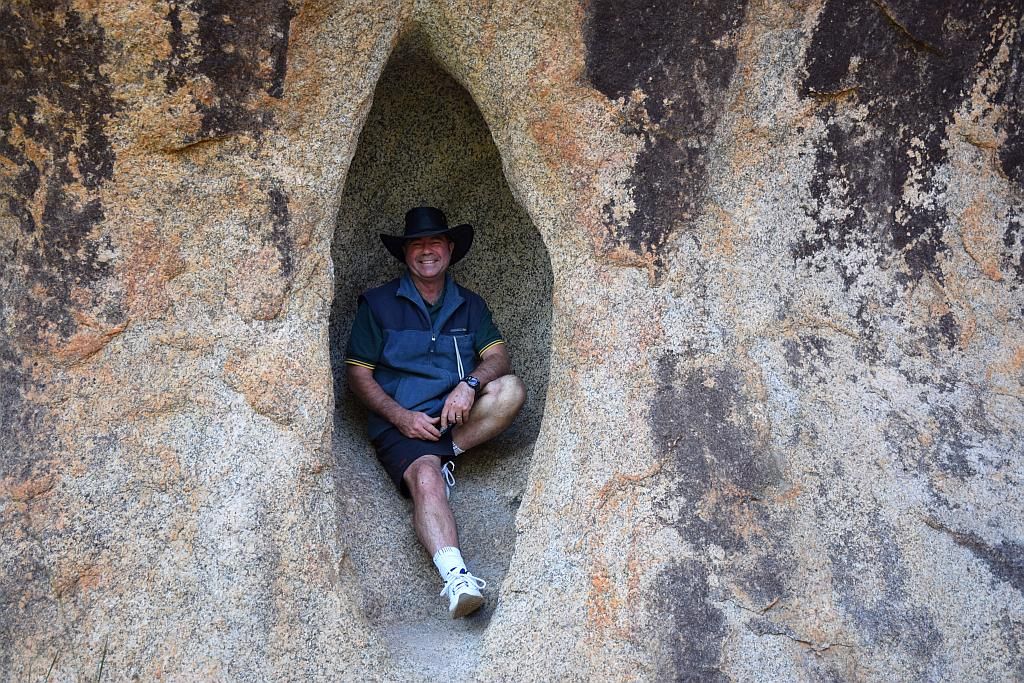
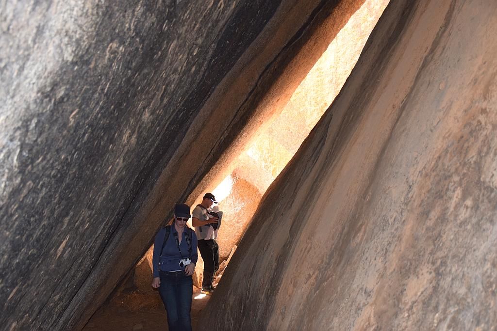
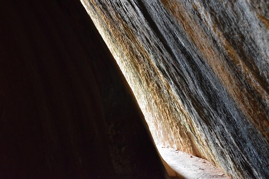
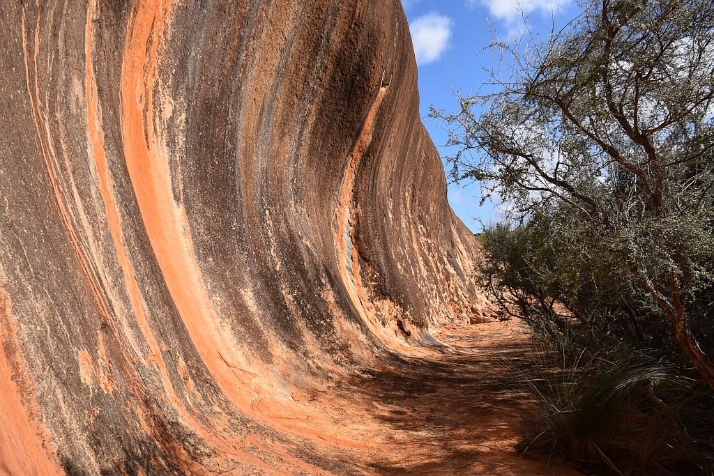
We first stopped in at Monty's Pass and the wave supposedly putting Wave Rock to shame. I think I agree with that sentiment:
Exiting the pass, you had to negotiate passage with the dodgiest bunch of misfits the North East Wheatbelt could offer:
Wave Rock...Pffft. No tourists here:
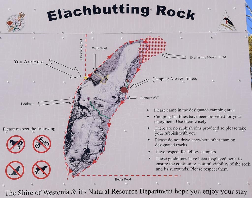
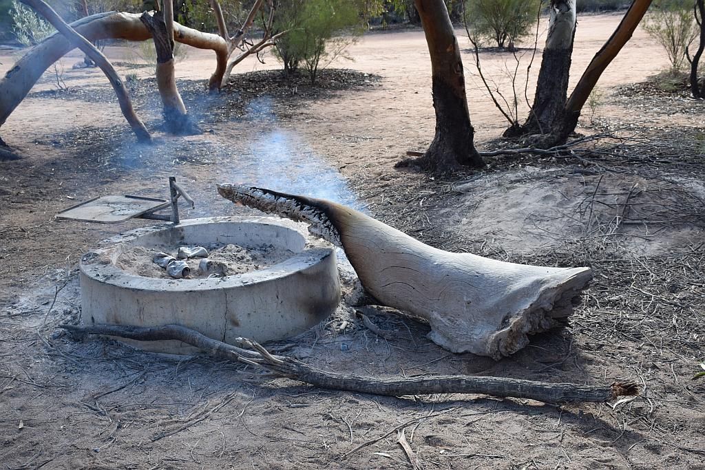
We then shot off to the camp grounds. I spied some smoke and went over to investigate. Not Happy Jan. Some turd had left a huge log still burning in amongst the leaf litter. And on a quite windy day as well. To top it off, burnt cans and crap were left in the fire pit and their bagged rubbish left behind. I mean, really people, look after it or lose it. How hard is that to comprehend?
I have since learnt it was a large group camped here. Also, there were dogs present. If you don't have the intelligence to be able to read, associate a crossed out dog picture and understand leaving a fire in a safe state, what chance do we, as responsible campers stand. Quite frankly, you piss me off and if I find I can obtain a picture with your vehicles rego in it, I will forward it on to the shire of Westonia. I am no dobber, but you tools set the standard of mediocrity.
Anyway, off the soap box and we checked out the old well and I introduced Trev and family to geocachcing, picking up a trackable I wasn't expected to find being that a long weekend had just past.
Then we ascended the rock:
The amount of area cleared for agriculture is surely staggering. If you drive it you will understand. If you fly from Perth to the East, you will understand not only the amount of salt lakes in this region, but the size of the agricultural production area. How much work must have been done in clearing these area's for cropping and pastoral activities?
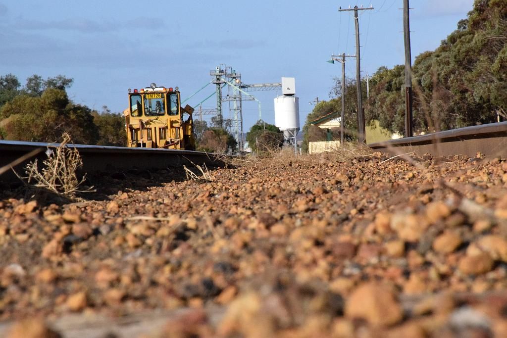
As its now 1430, Bruce, James and I part company with Trev and Co for Perth. I recommend to Trev to check out Baladjie, which he subsequently did and I think he appreciated my advise. We stopped in at Mukinbudin so that Bruce had fuel for the trip home. Whilst he did, I had a play with the camera on the rails:
Making our way towards Kelleberrin, I turned back onto the Old Goldfields Road to see if we could Find Nareling Spring (another of Hunts tanks). But it wasn't to be. I suspect its high on a ridge in a farmers paddock. So I left it for next time and hopefully some better research.
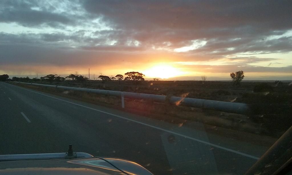
Turning onto the Great Eastern Highway for home was a mission. The setting sun completely obliterating any vision to the West. But we got through and were treated to a magnificent sunset to finish the trip off with CY O'Connors Mundaring to Kalgoorlie pipeline in the foreground.:
I had suggested to Bruce before leaving Elachbutting, We would stop for dinner on the way home as it was going to be a late one. As we passed Grass Valley, I thought we should check out the tavern, which we did. And a good choice it proved to be. The $35 surf and turf was bloody enormous and good value for money:
Washed down with a pint of Pale Ale, it was just the perfect ending to such a good trip. At Midland, Bruce headed South whilst I headed North and I walked in the door at 2045.
Its such a great area out here, and so close to home, I need to do more explorations of the area. If luck is on our sides, Hopefully Bruce and Trev can come along next time too. Thanks to Bruce, James, Trevor, Paula, their 5 month old and not forgetting young Rosco.
So with the end of another trip and another 2 nights under canvas, the 2015 tally is now at 21.
Trip Stats:
1030Km travelled
115L fuel used
for an average of 11.2L/100Km
cost of fuel $152

