I have just discovered the name of the unnamed Gnamma hole and added it in
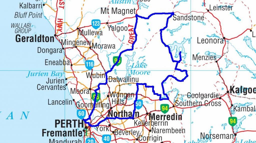
A combination of RDO's, shift swaps and an early finish meant I had 5 days to play. The weather here at home in the week prior had been pretty average, but was looking good for this break. So I think it was high time for another trek through the Goldfields. This time I planned to take some routes less traversed and more remote than the one I did last year. The big question: How the routes from a map relate into vehicle pass ability. Well, there's only one way to find out I guess. Here goes nothing.
Up at 4am on Friday 27th June, an easy shift at work had me finished at 1030. I hit the road direct from work 15 minutes later. The plan for the day was to get out for an overnight stop at yet another wheatbelt rock. A short stop on the roadside for the staple touring diet of Hot Salami, Cheese and Tomatoe sandwitches and I made Kellerberrin for a fuel stop. From here the plan was to travel about 1000 Km's to Sandstone via track and gravel, taking in the scenery and points of interest on the way. Not including any double backs that may need to be performed.
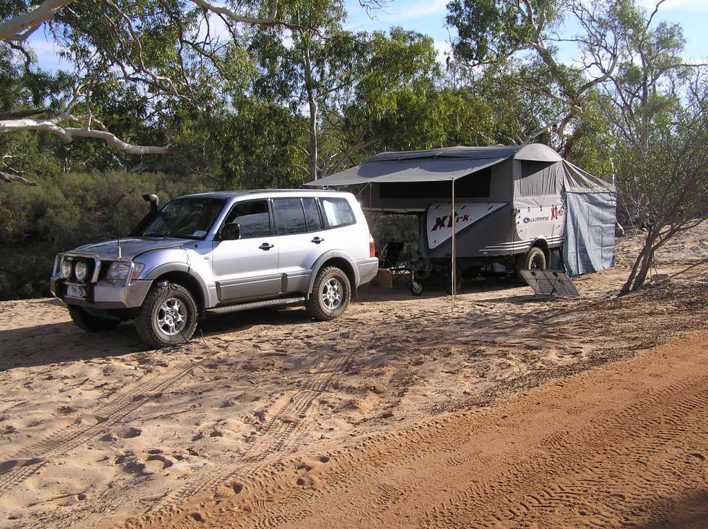
So camp for the first night was made at Beringbooding Rock. I arrived about 1630 and the imediate plan was to source firewood, as it was predicted to be below zero overnight. During the collection of said fuel, Peter (aka: NG/NF Paj) shot out from Muckinbudin to join me for the night. The new awning and swag were set up for the evening and Peter set up his tent. The fire was lit, dinner was cooked and I tried to warm the kneecaps by the fire with a glass of red (or maybe two). By 2230, after a super early start, I left Peter by the fire for some sleep. In the early hours I tossed and turned a bit due to both being cold and an urge to pee. I fought it hard for some time, but at 0600, the urge won. The windscreen of the car had turned to ice and I wore a flannel shirt to bed. This kept me toasty warm and remained my sleeping attire for the trip. Eventually I woke at 0830 to a nice sunny day, albeit still a bit cool.

Peter had got up well before me and had the fire going again. After the morning coffee, then came the bacon, eggs, hash browns and beans, on the hot plate. Today was going to be my easiest day of the trip, so I was in no great rush. I introduced Peter to the fine art of geocaching by bagging another find on top of the rock and took a few shots whilst there:
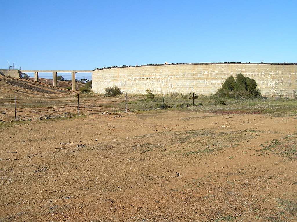
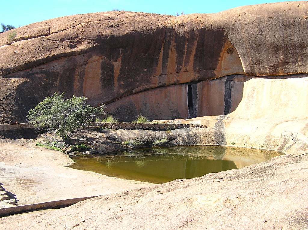
The tank and feed system was built circa 1936/37. Surrounding the area are stone lined wells from the late 1800's.
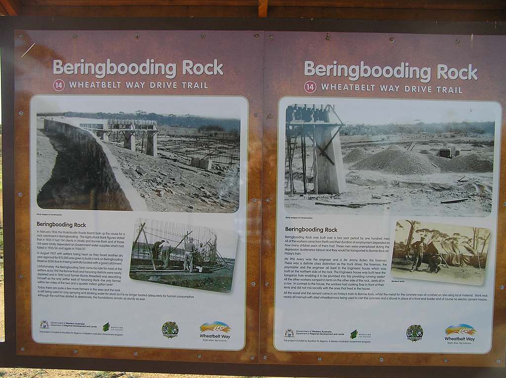
After the walk around, I started to pack for the venture into the Goldfields. Once done I noticed time had got away from me and it was around 1120. Peter still hadn't packed his gear. As I had to be at the next camp before dark, we parted company. Next stop was only a few Km's away to bag a "first to find" cache. Peter said he would meet me there. I drove up the track, and parked up at Mushroom Rock. Navigating my way to ground zero was a bit of a challenge with no obvious direct route, so I made my way as best I could. I heard Peter arrive, but had no way of letting him know where I was. The cache took some time to find, but being a FTF, I persevered and eventually added another to the tally.
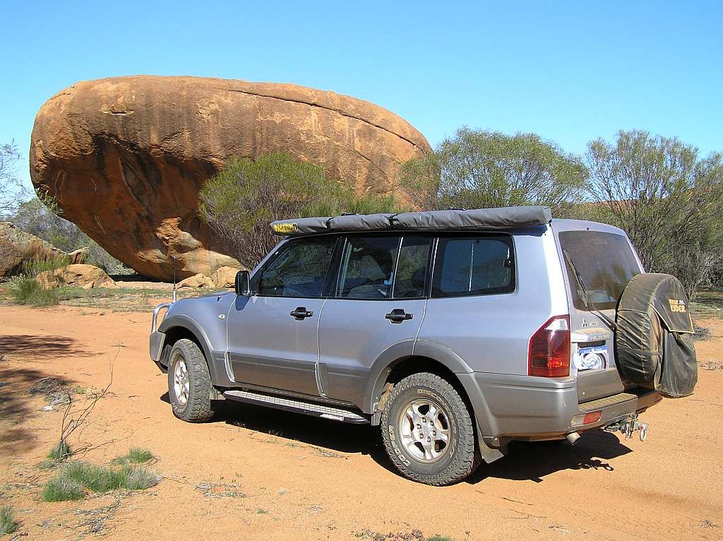
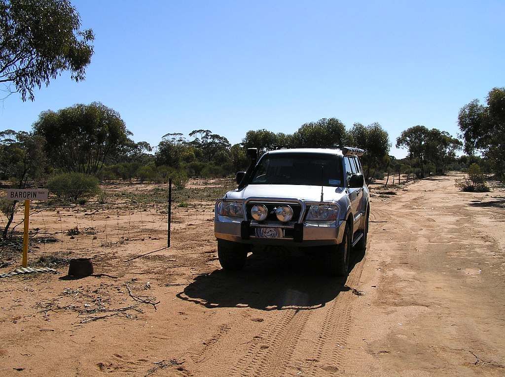
By the time I got back to the car, it was 1230 and time was slipping away. So we both headed off. Unfortunately for me, and rather unexpectedly, the turn backs started. I wasn't expecting this until into the Goldfields. The Rabbit Proof Fence Road stopped at gates to a pastoral lease. The start of my route recalculations had begun. It was here Peter and I parted company for good. And the start of 3 days of remoteness without seeing another person. The condition of the Wheatbelt roads were fantastic.
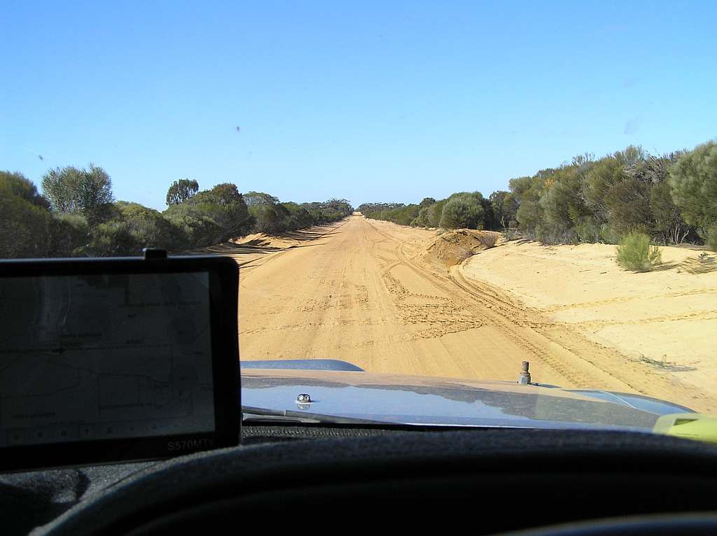
But at every major turn, I was thwarted by tracks that resembled donkey tracks or just didn't seem to exist. The major thorn in the side was the Lake Deborah Rd. A sign stated this was a no through road. Now whilst this may or may not have been correct, time had gotten away, I still had a lot to travel and I couldn't take the risk of having to turn back. So I made the decision to skirt around the lake to the South and head into Bullfinch. Now I had to travel the complete length of the Mt Jackson Road and this diversion added more than a hundred kilometres and precious time to the trip. Not a good sign for things to come. The Mt Jackson Road was signposted as not being an "all Weather Road". And later on I found out why. There were quite a lot of washouts (and a couple that caught me out at speed), soft sandy surface and a salt pan to cross. It would certainly be interesting to travel it in the wet.
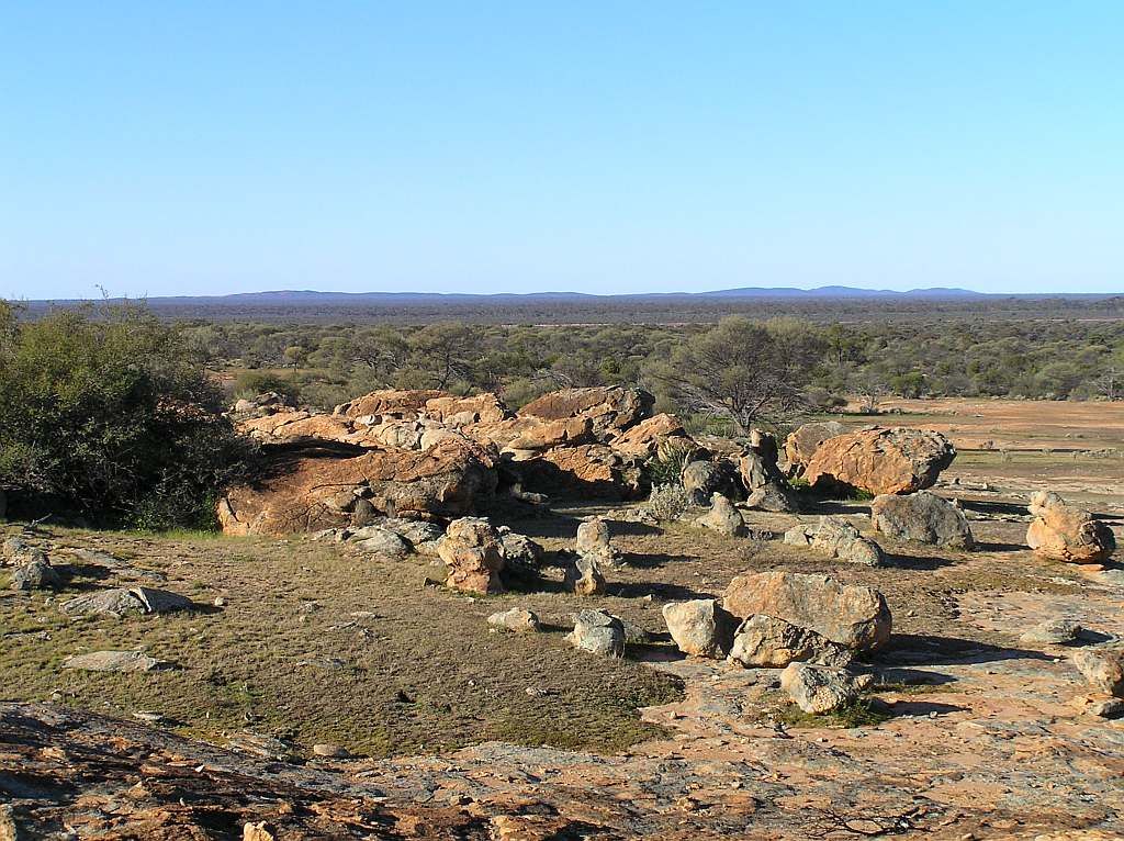
Passing a rocky outcrop, Mt Jackson is seen on the horizon to the East.
And by 1530 I finally made the old Mt Jackson Homestead Ruin.
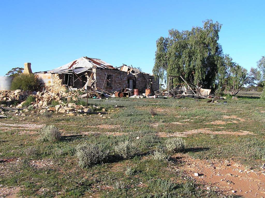
Last time I was here with a group from the Paj forum, 3 years ago, I staked a sidewall. So I was a bit more vigilant this time around. My memory maybe fading, but I thought it had deteriorated quite a bit since my last visit. There was also another cache to find, but I spent 1/2 hour looking for it and made the call at 1600 to bugger off. I wasn't sure how long it would take me to get to the second nights camp atop the Helena and Aurora ranges.
The track from here to base camp is a beautiful drive through the Great Western Woodlands. Although nearing the ranges, the corrugations were getting a bit annoying. Also spotting the washouts in the late afternoon sun was posing a challenge and I got caught out a beauty on one. It was a hard hit. As luck would have it, nothing got broken. Eventually in the race for the ranges before the setting sun, they came into view. Unfortunately by the time I crested to the top, the sun had set and it was a mad scramble for firewood before the orange glow that was providing enough light to see by had disappeared for the evening. I got just enough timber in time and proceeded with setting up, lighting fires and cooking dinner.
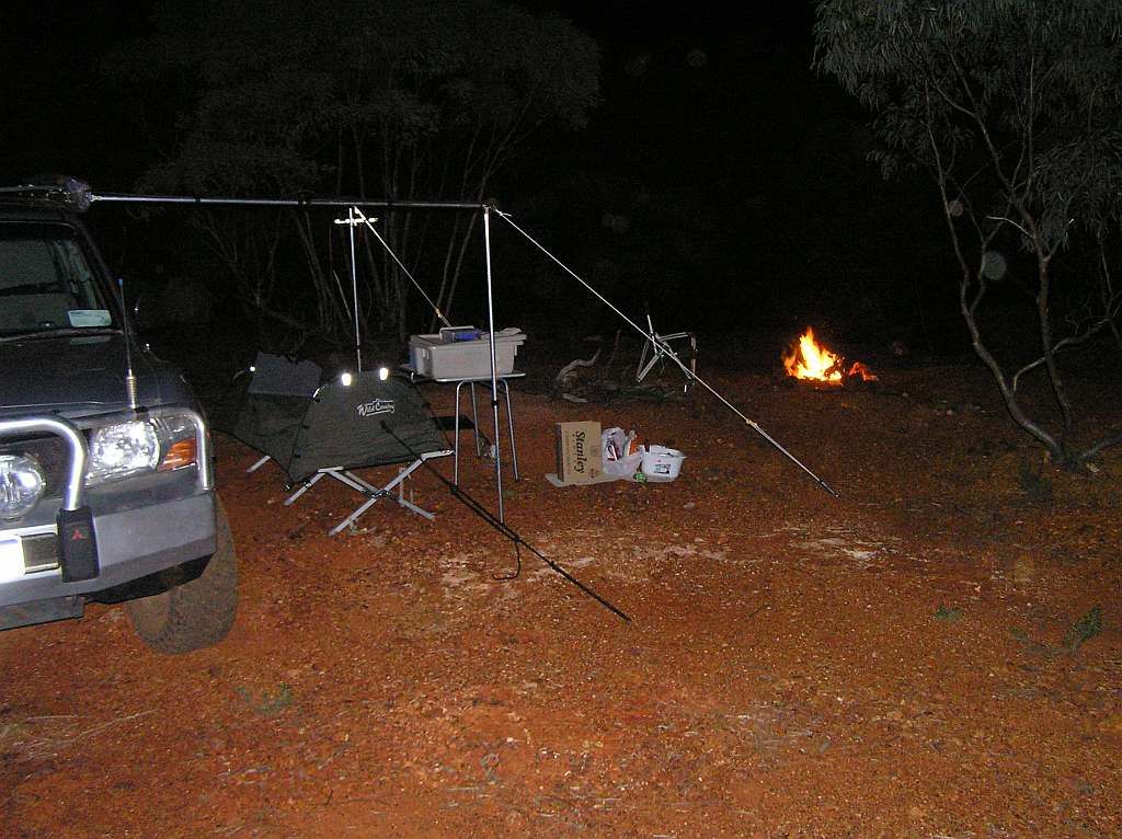
There is a website set up should you wish to read more on the H+A ranges:
Helena and Aurora Ranges
Dinner done,washing up done then some warm time by the fire with a few glasses of red. There was a cold breeze blowing. So much so, the beanie, jacket and gloves came out. It had been another big day, so off to the land of nod I did creep.
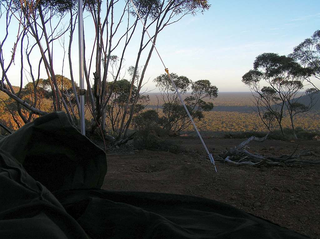
I woke at a respectable 0720 today, snug and warm in the swag. As it had been almost dark when I arrived, and I had too many chores to get through in a small amount of time, I missed the view. But when I peeled back the lid of the swag, I had an "OH Wow" moment. That view to wake to was nothing short of stunning. The picture below from the swag does not do the experience justice. A picture might be worth a thousand words, but the eyes are in an order of magnitude uncalculable of a picture.
And another view of base camp:
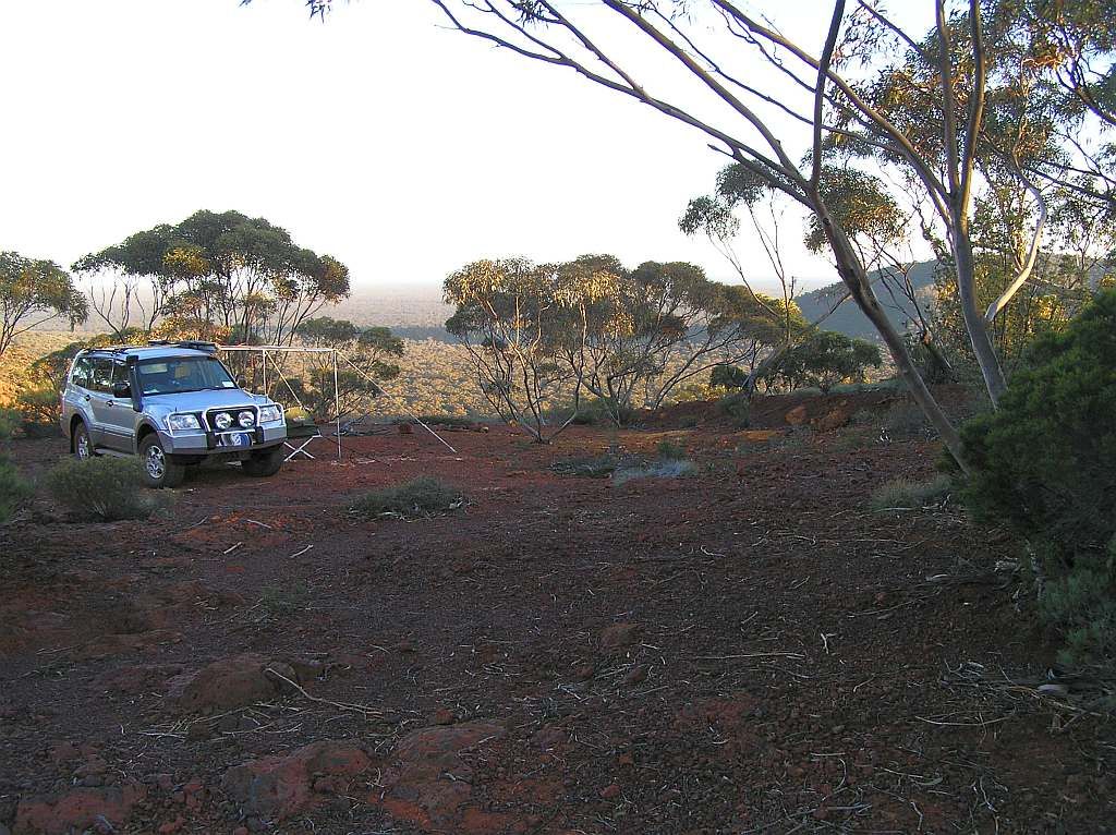
These pictures do not do justice to the height above the woodlands below. Bungalbin Hill @ 704 metres above sea level, is sitting 300+ metres above the surrounding plain. The views are simply spectacular. And in reciprocal, the view of the range from the woodland is likewise.
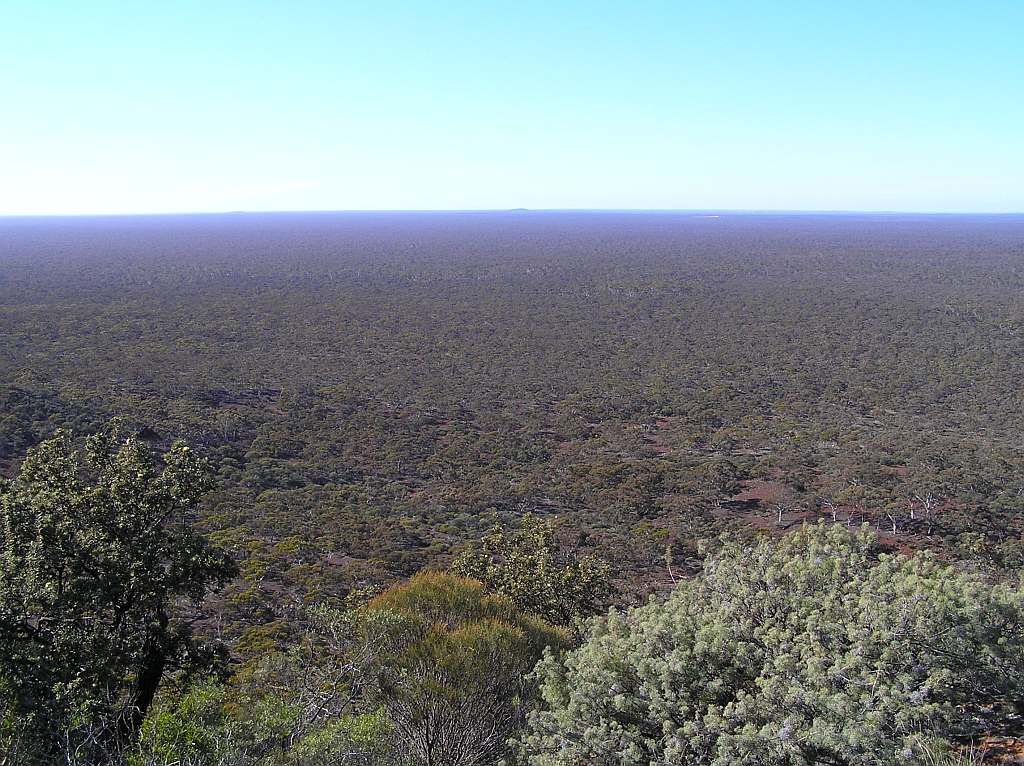
What I did find odd though was the lack of perceived wildlife.There was barely even any bird calls. Maybe the lack of water contributed to this, as the woodlands below had lots of bird life. Also, trying to dig a hole with a shovel for the morning constitutional wasn't going to happen in the banded ironstone formation. Amfo may have helped though :)
I was on the road again before 0900. This was a good thing becasue my major concern was the accessability through the bush to the Manning Range. It was an unknown entity, and having experienced tracks in the area petering out, I was a bit worried. If they did, I was so far from anywhere, sourcing another exit point would have a major fuel impact and kill my plan of making my way through the middle to Sandstone.
A short stop at Pittosporum Rock and it was on the road again. The H+A ranges were impressive in the distance.
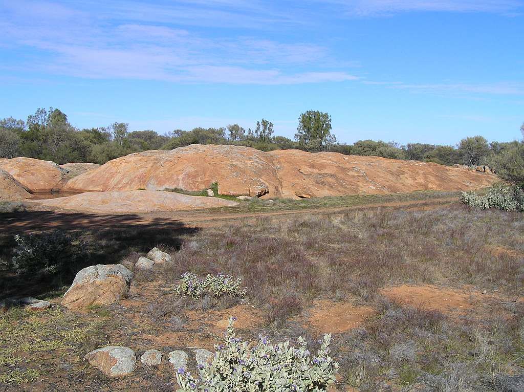
After Pittosporum, I noted on the map that I needed to cross the Hunt Range. I was hoping that the route up and back down wasn't going to pose a challenge. But my fears were averted. I didn't realise the range was so low. In fact, I didn't even realise I was on top of it till I started a very small descent on the far side. Maybe another time, with the luxury of time on my hand, I'll spend a bit of time exploring both H+A and Hunt Ranges.
Onto Kurrajong Rockhole and I'm met with diverging roads. Here an old sign has been posted. Where once it would have had been painted, The lettering was also punched in braille form. The paint had long since deteriorated and I couldn't decipher the braille. I believe it was pointing towards Pittosporum.
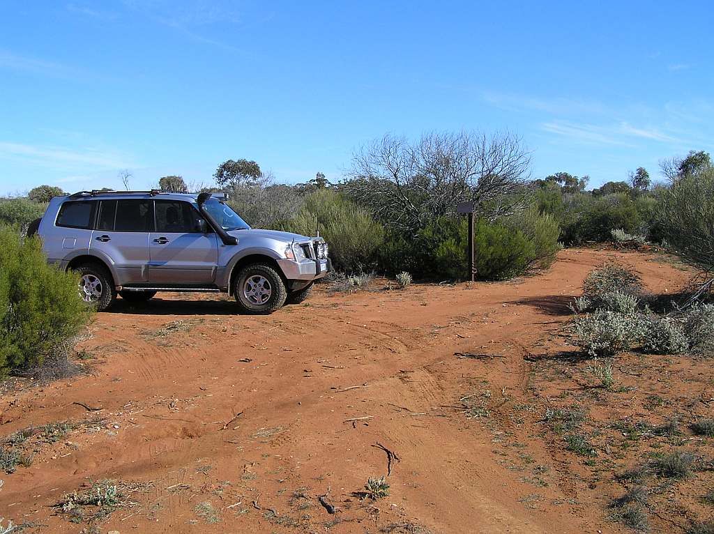
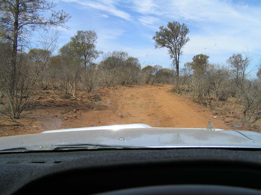
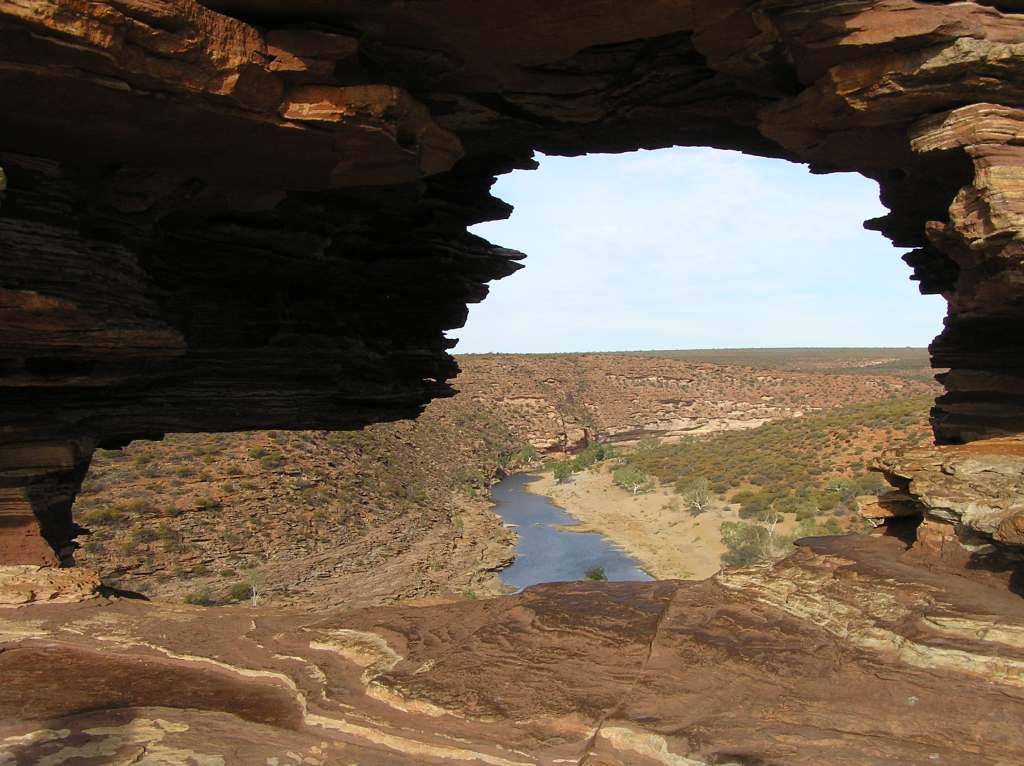
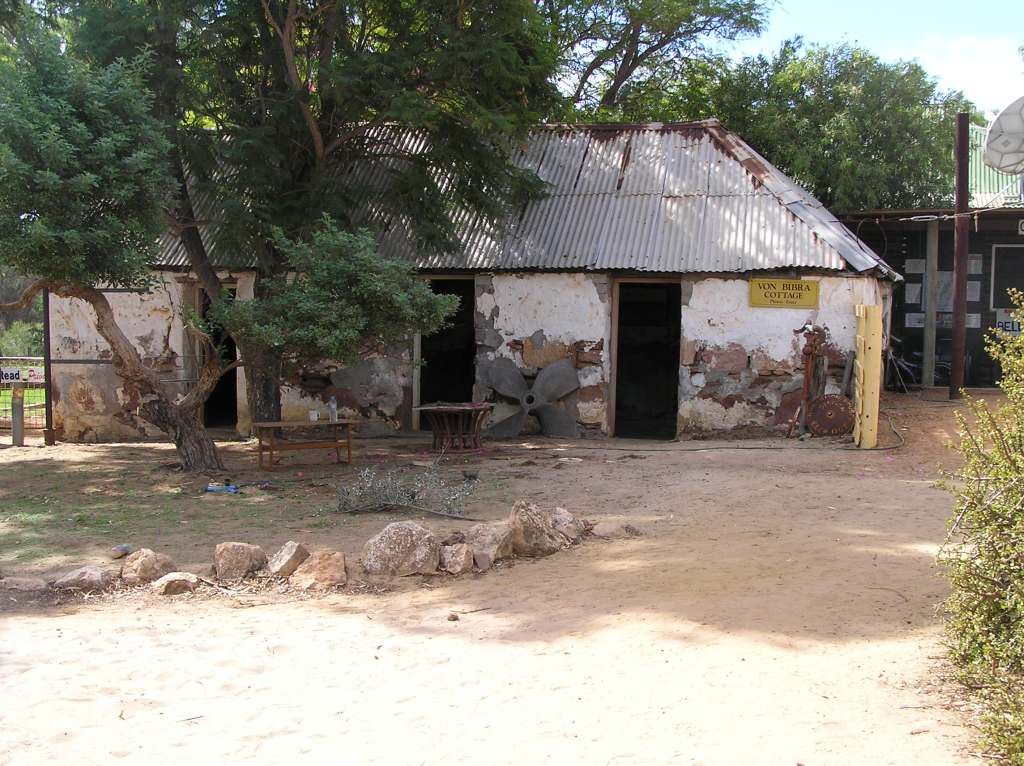
Nothing to do but select the track I believe I need and see how that transpires on the GPS. When faced with these decisions, sometimes you find against best judgement you have made the wrong choice. But in this instance, I got it right first go. This section of track was my biggest concern. It heads up through the Mt Manning Nature Reserve, and apart from the Manning Range, there is nothing here. So I suspected this may end up being my trip killer. For some time the track was in surprisingly excellent condition. I passed a track that loops around and joins the one I'm on further on. At the junction where this re meets the track, conditions changed. Large rocky chunks of granite and closed in vegetation. Have my fears now been realised? I'm so far from help to do any major vehicle damage, I have to exercise caution. But to have to turn around, would be disaster. So I push on cautiously. After a hundred meters or so, the track cleared of rock, opened up again and passed by an unnamed rock. Here was a Gnamma hole and from the top, a magnificent view of the Manning Range.
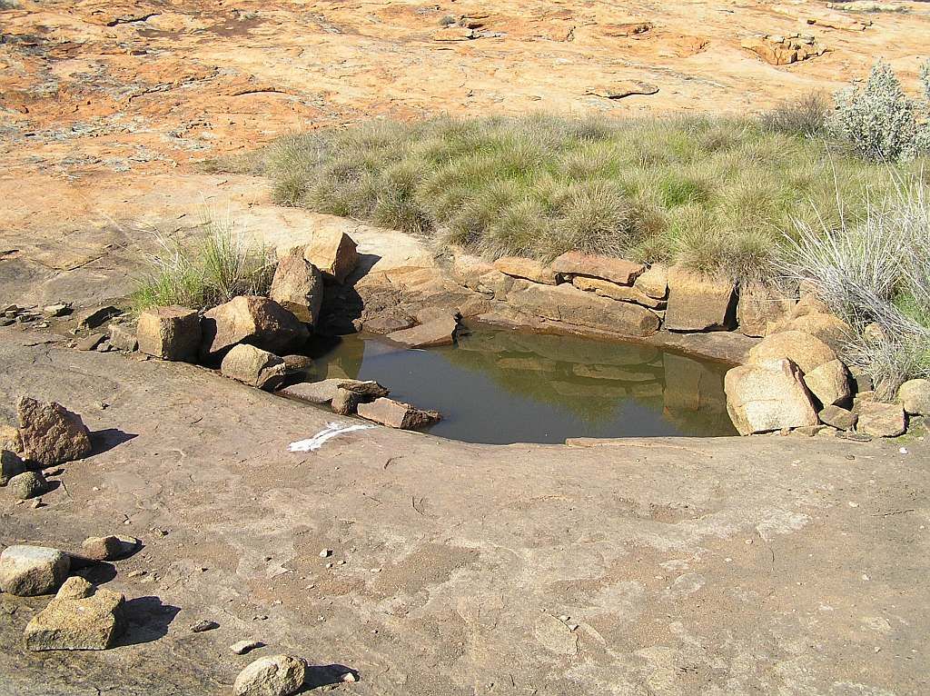

EDIT: researching another trip I'm planning in 2015, I have discovered on Google Earth that this unnamed place is known as "Wolgling Soak". I see this was posted by a fellow explorer I have had communications with in the past. An exceptional gentleman. Thanks George:
George's site;
Having the target of Mt Manning now visually so close, I pushed on, hoping the track was kind. The other side of the unnamed rock, I was back in granite boulder country again. Though as luck would have it, another 100m or so and it cleared again. The track, the rest of the way to the Bullfinch - Evanston Rd was excellent. So a nice little win to be had.
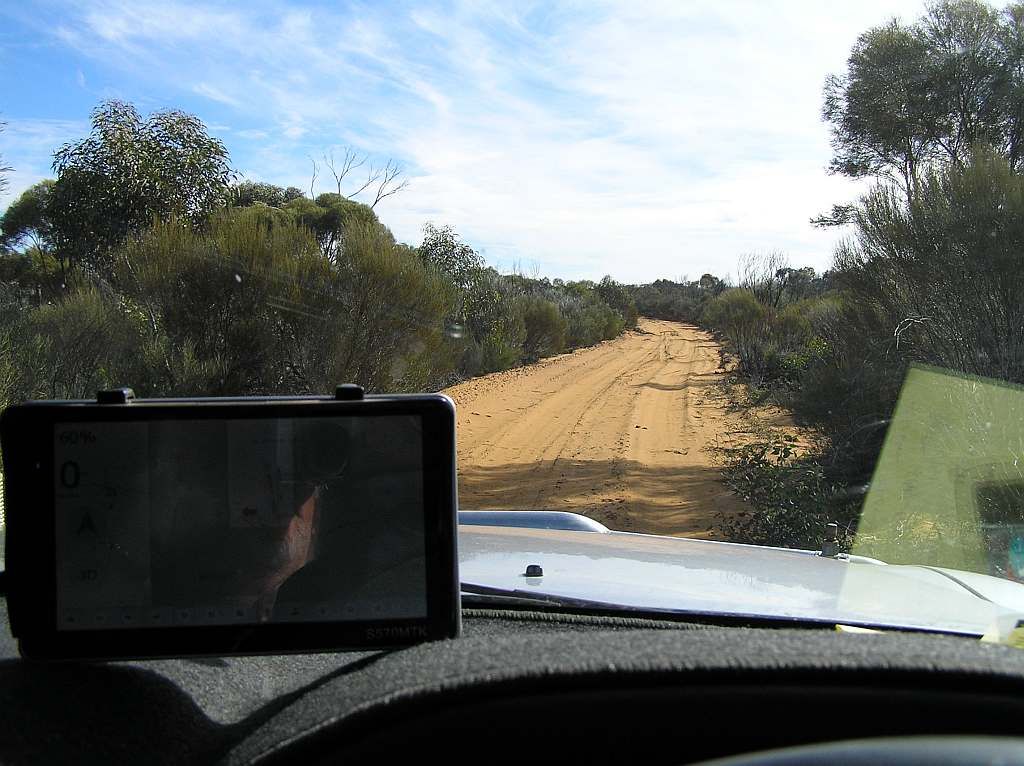
Unfortunately, the 100Km's from H+A to the Bullfinch Rd had taken me 3.5 hours. Still with a long way to go, and the fuel penalty I copped the day before, I left the side journey to Pigeon Rocks for another day.
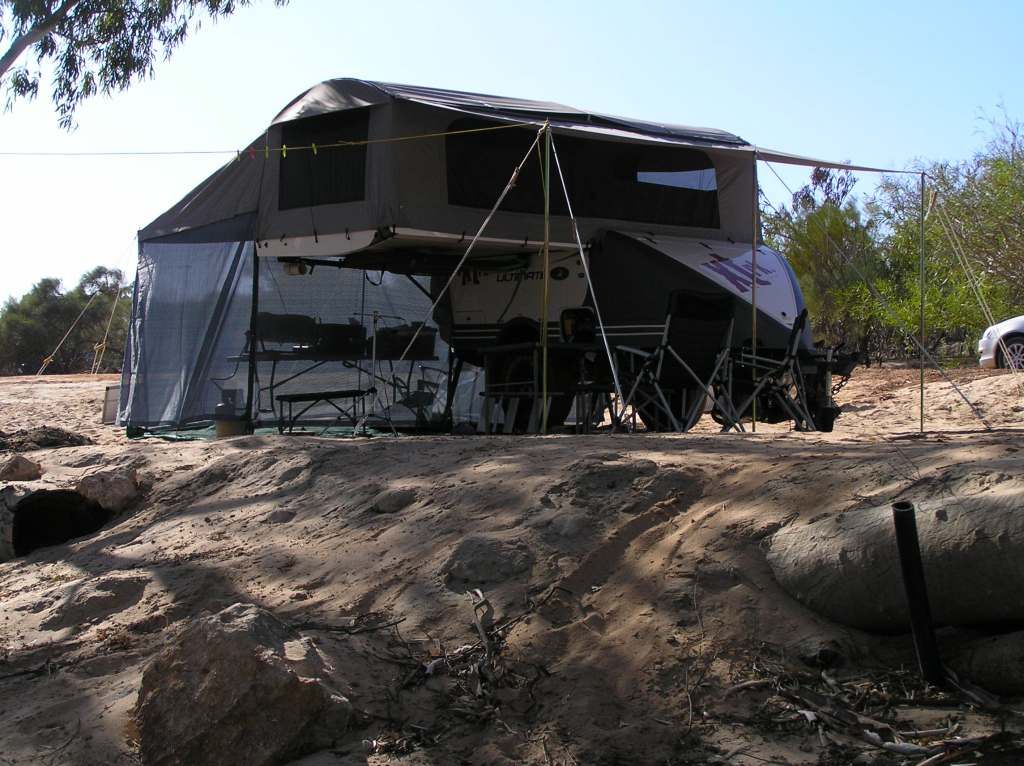
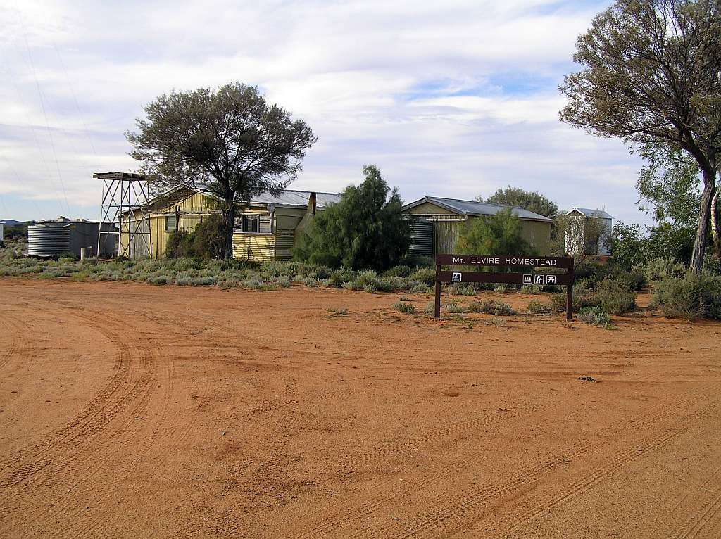
The road from here to my next overnighter at Mt Elvire Homestead was excellent. So the trip was a breeze. I stopped at Rainy Rocks for lunch and proceeded up the very good condition track to Mt Elvire Homestead. I arrived about 1530. Perfect for an explore of the buildings with ample time to find fuel for the fire and a leisurely set up for the night.
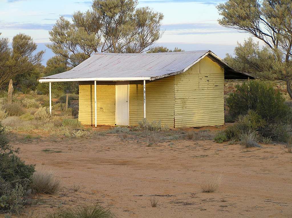
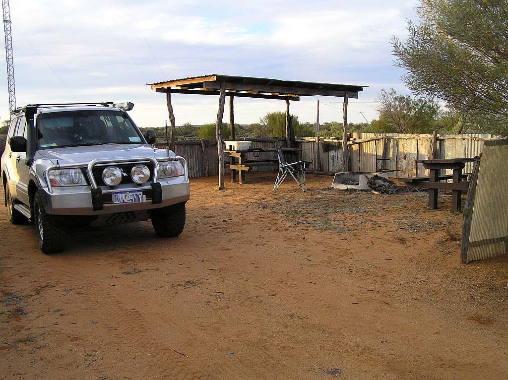
Making use of the tables and veranda's for shelter and comfort:

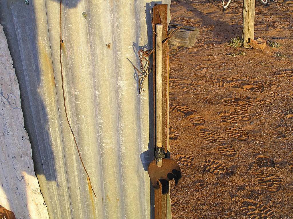
Someone left an old fly swatter behind. I wonder what stories it could tell? Being an opportunist, I used the said swatter that night as a mount for my led light over the table area, as with shelter provided, no awning was required.
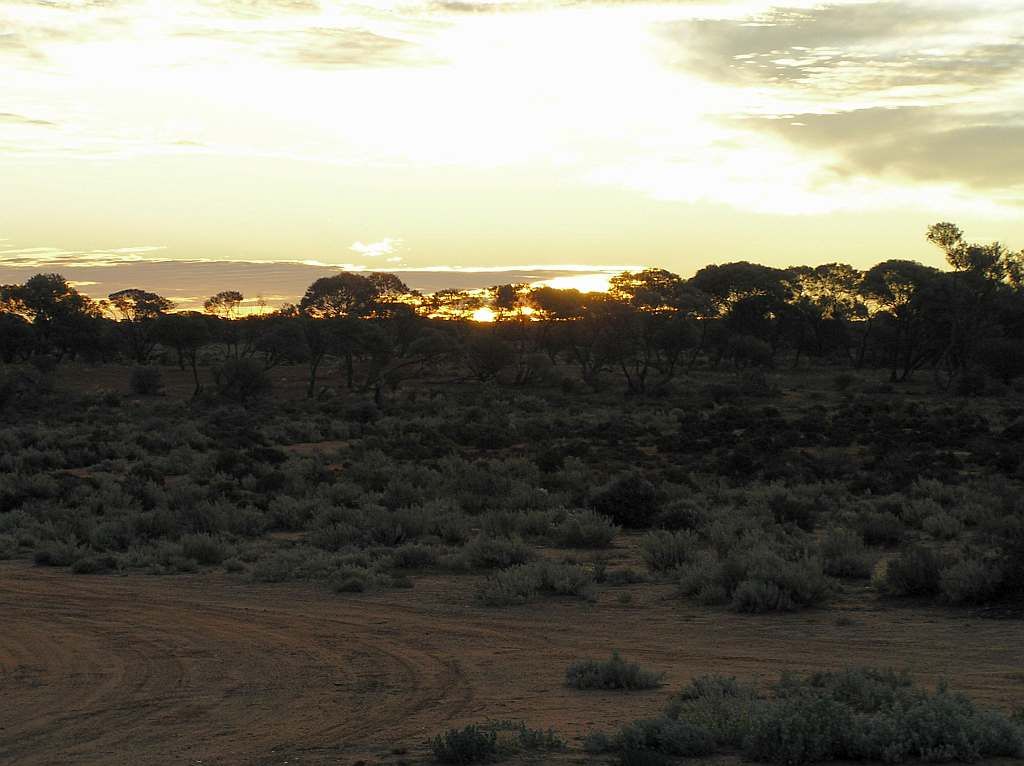
Sunset at the Station:
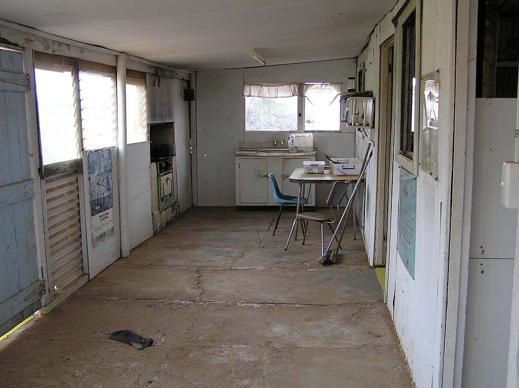
And the kitchen inside the Homestead:
A pleasant night with some tunes by the fire, followed with a reasonable on the road time again in the morning, pre 0900.
I stopped for a look at some old yards on the way out:
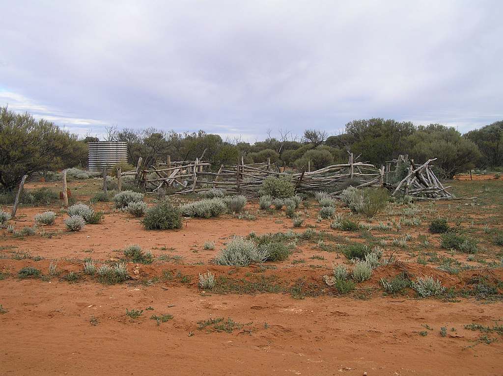
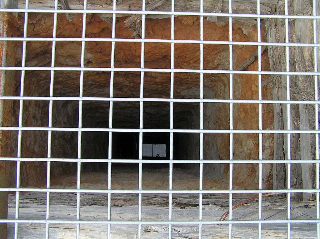
Between the yards and the tank was a grated well. Bloody hell, it must have been 30m deep. It had water in the bottom, and all I could think of was how much effort some one had gone to in days gone by, digging this by hand. They bred em tough in the ole days.
Again, the access road was excellent. I must say, I have an affinity in touring these red dirt roads.
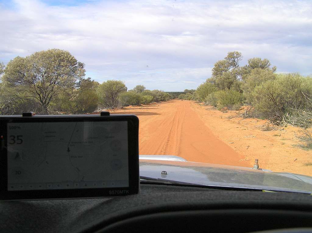
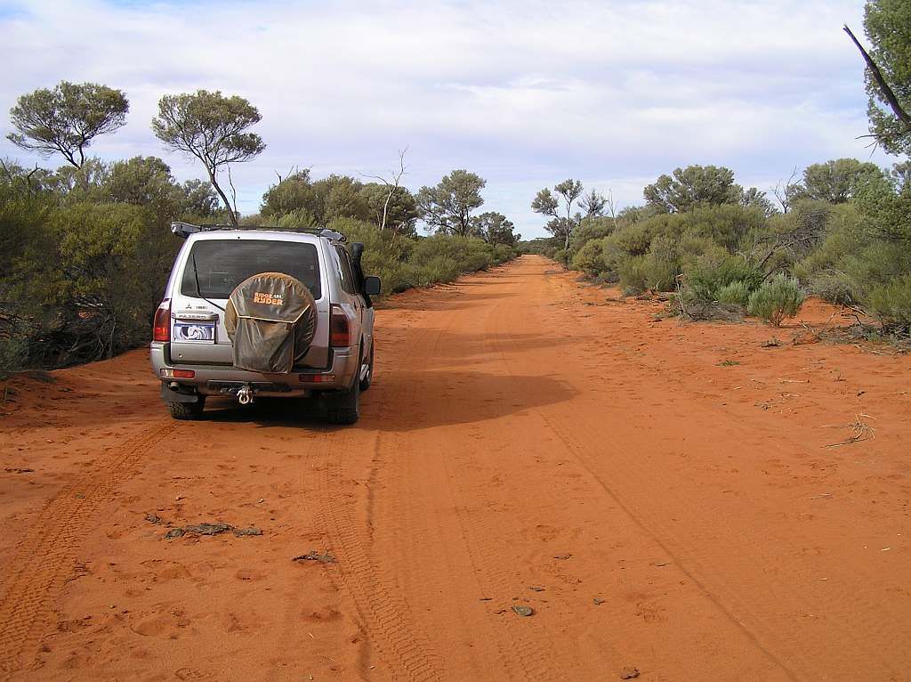
From there I headed up the Youanmi Rd for Sandstone. The cloud had been in from dawn and looked beckoning. It seemed to get darker as the day went on and all I could think is that it would be interesting if it dumped its bundle. Cruising along just passed Diemals, I spied something in the bush, hit the anchors and doubled back.
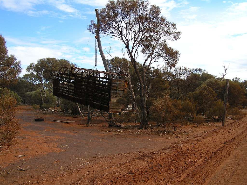
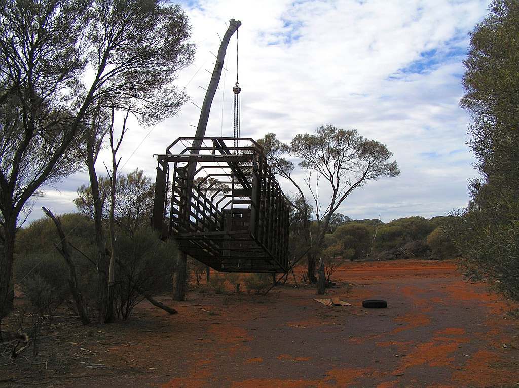
Now how long this had been there swinging in the breeze from a chain block on a gantry made from a log is anybody's guess. One also has to wonder why? Its got me beat.
Now I was getting closer to the shores of Lake Barlee. The surface of the road, whilst in great condition, had a lot of topsoil/loose sand. This made steering a bit harder. Then just prior to Barlee Station, I met the shoreline:
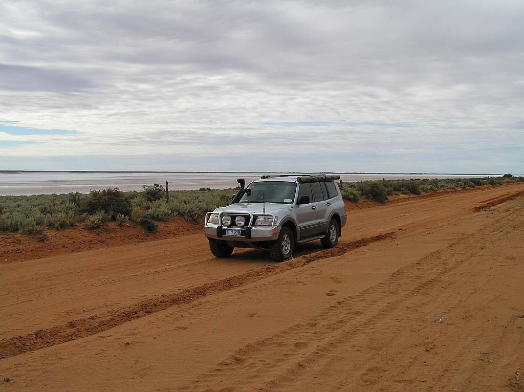

Wiki: Lake Barlee
Lake Barlee is WA's 2nd largest salt lake. Next concern would be what the condition of the finger I had to cross was. I had no need for concern whilst the weather held out:
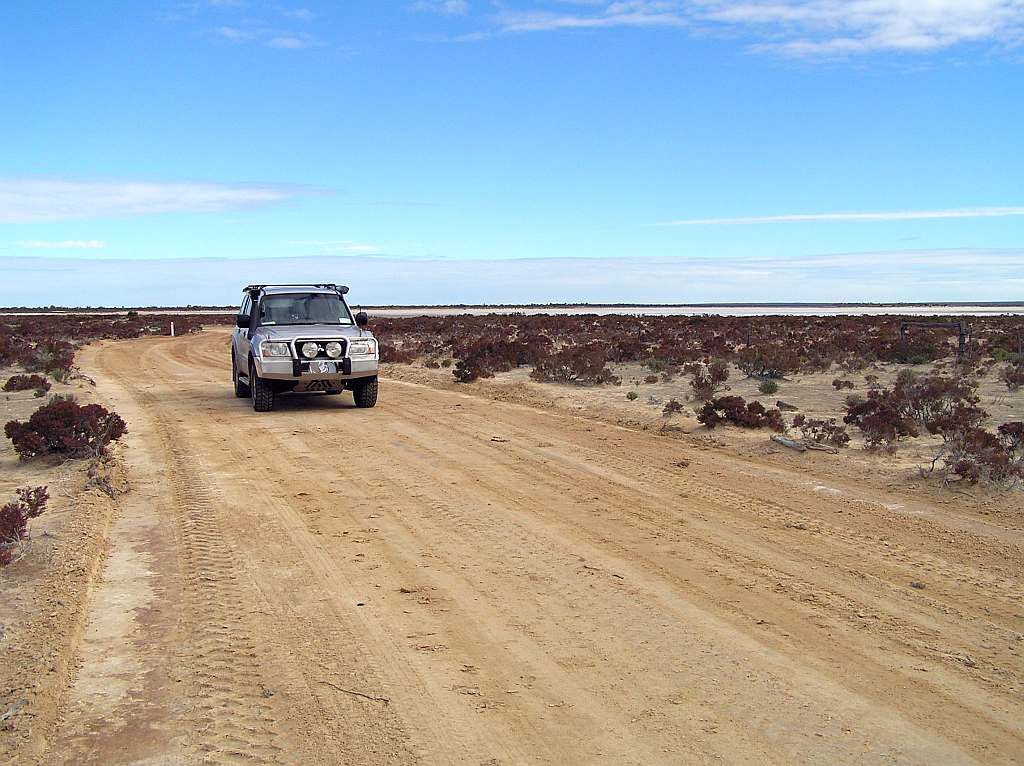
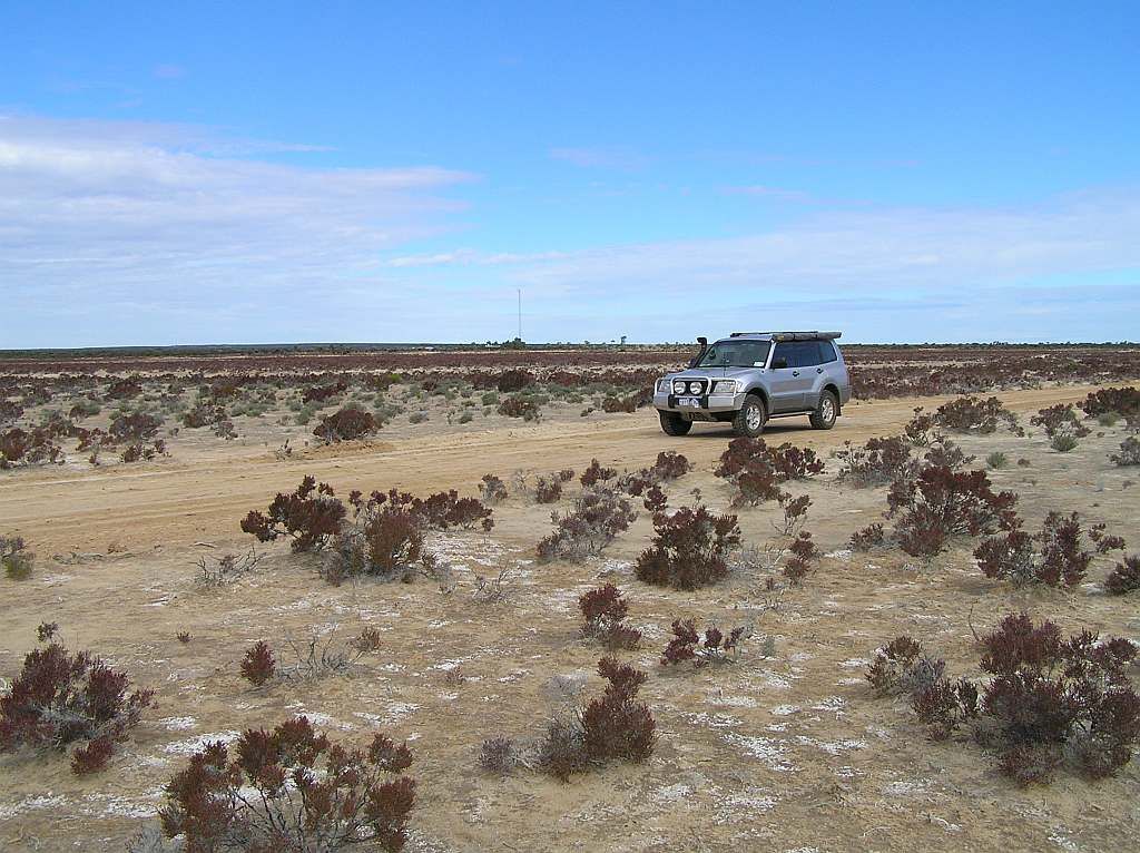
But I think it needs stating, with a bit of moisture, this trek from Kelleberrin to Sandstone would be a very different animal. Apart from the Wheatbelt, all my fears about track access have been unfounded. And this afternoon, I will make Sandstone. From there to home is via the bitumen. So I had good fortune all round it seems.
Stopping st a roadside well, I decided the staple lunch diet was in order again.

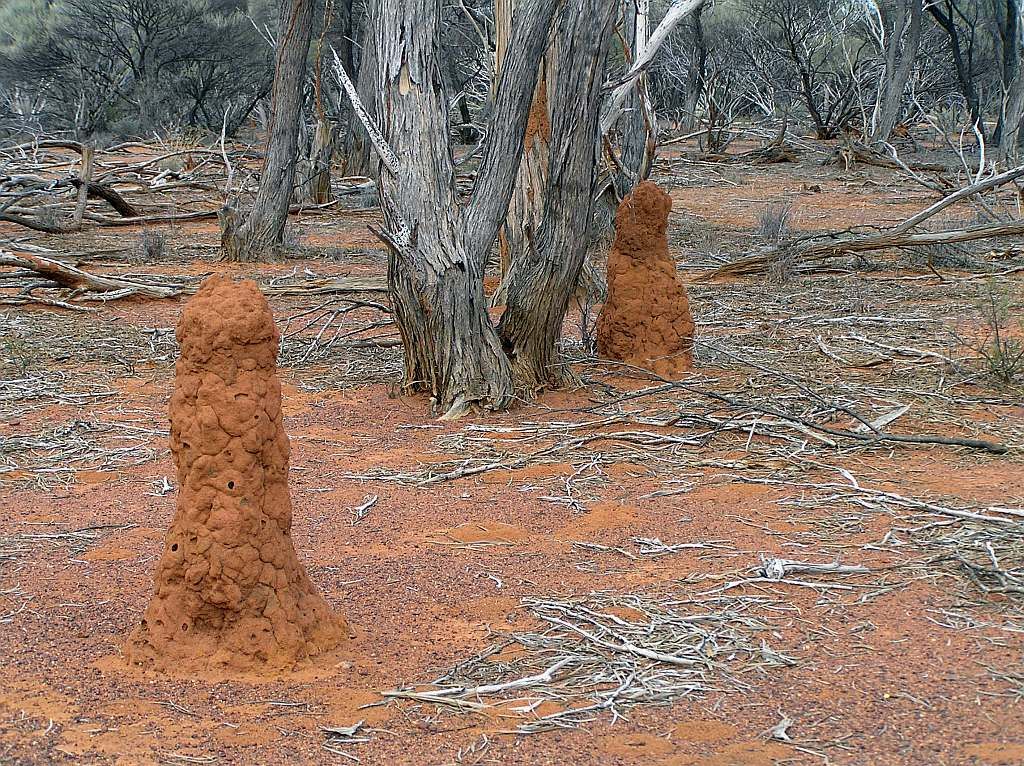
Some fallen down yards are beside it. I went for a hike down a track for a bit for a look see. The area was littered with termite mounds.
And on the way back to the vehicle, I spied where Joe Blake had travelled:
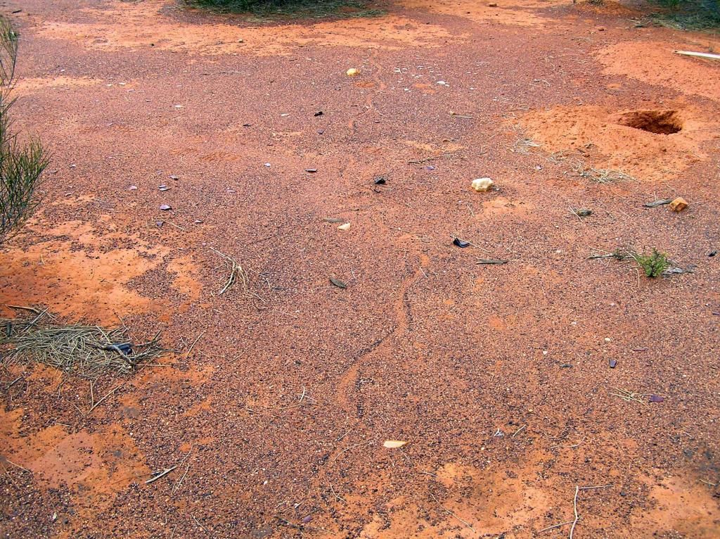
I had planned to check out the Youanmi Village. I thought it was an abandoned townsite, but the signage of 'Authorised personnel Only" and other such messages, and the age of said signage made me have a rethink. Once home I'll do some research to find out what the score really is for a later trip. Between Youanmi and Sandstone, the clouds disappeared, the temperature rose and I was in a tee shirt. The weather was now just perfect.
So here I had a choice. Take the shorter route direct to Paynes Find or head to Sandstone and add a few hunderd K's to the trip. As it was early enough, I decided the latter. Stopping in for fuel, I had traversed 1000Km's of track and had at least 300Km's of fuel remaining. So the fuel penalty that had concerned me a few days back was in reality a non event.
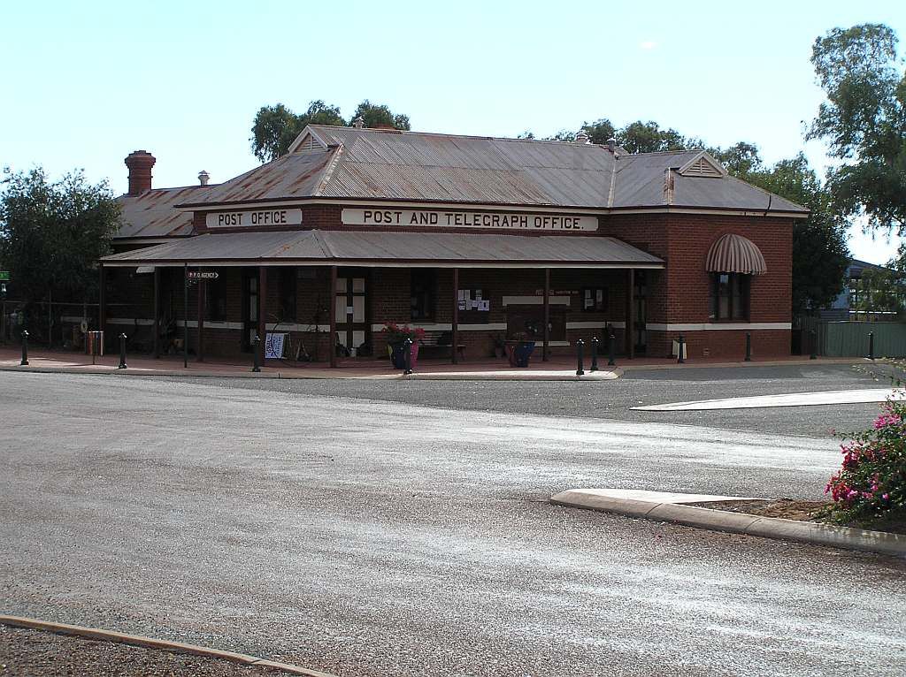
I had no camp planned for around here, so I decided to hit the road for about an hour and look for a track to park up on over night at about 1630. Took a drive down the heritage trail before hand.
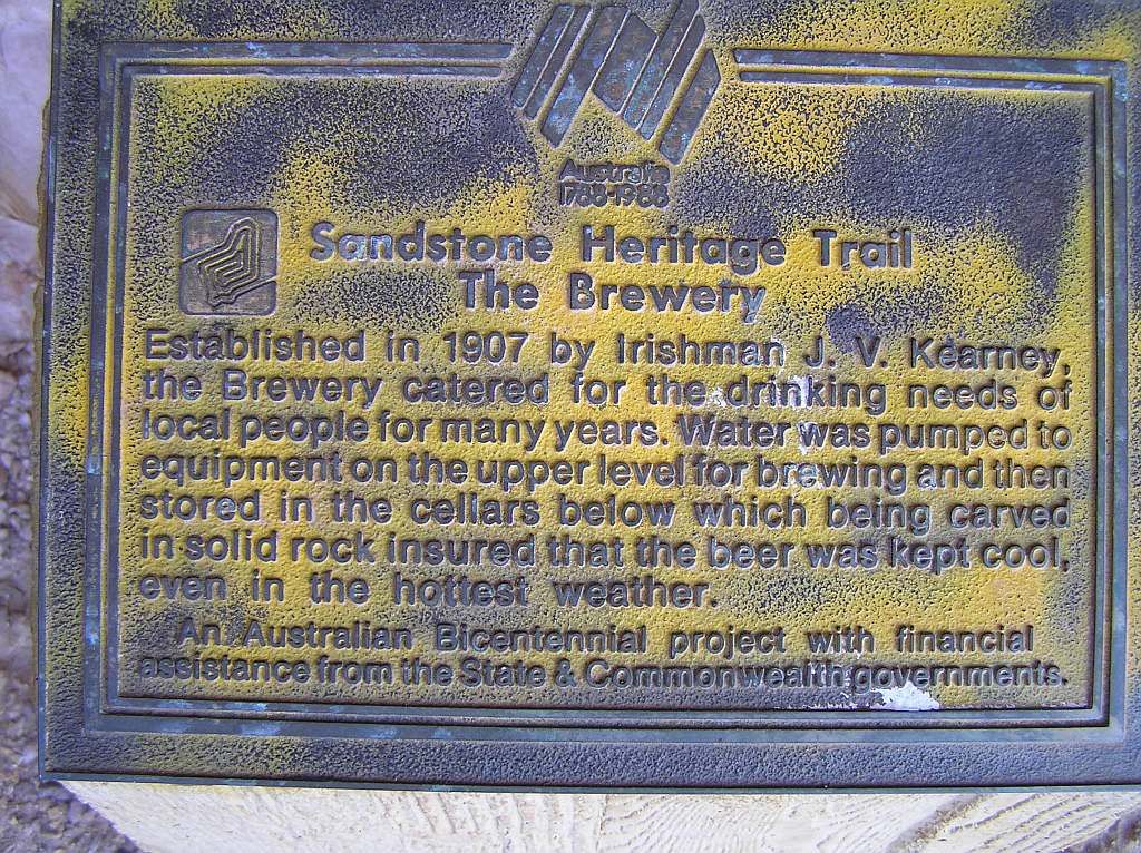
The brewery:
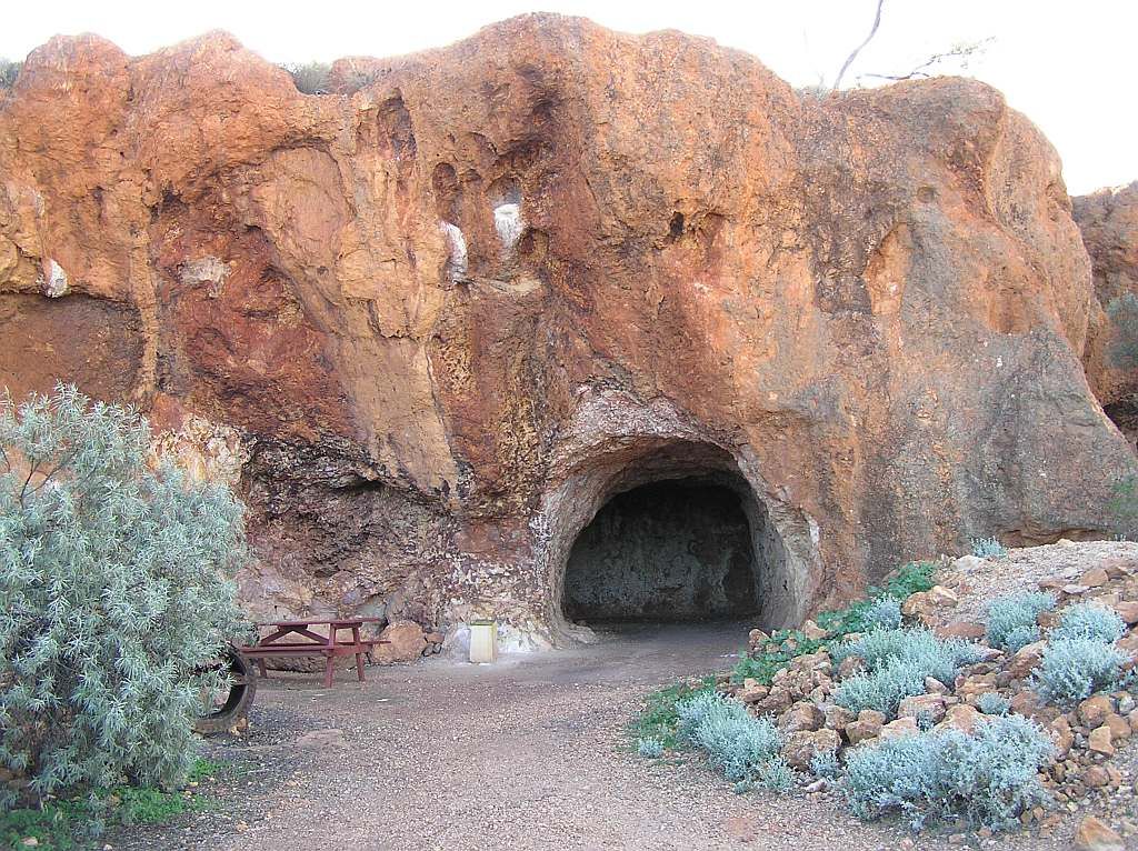
London Bridge:

And finally the old Battery and crew quarters:
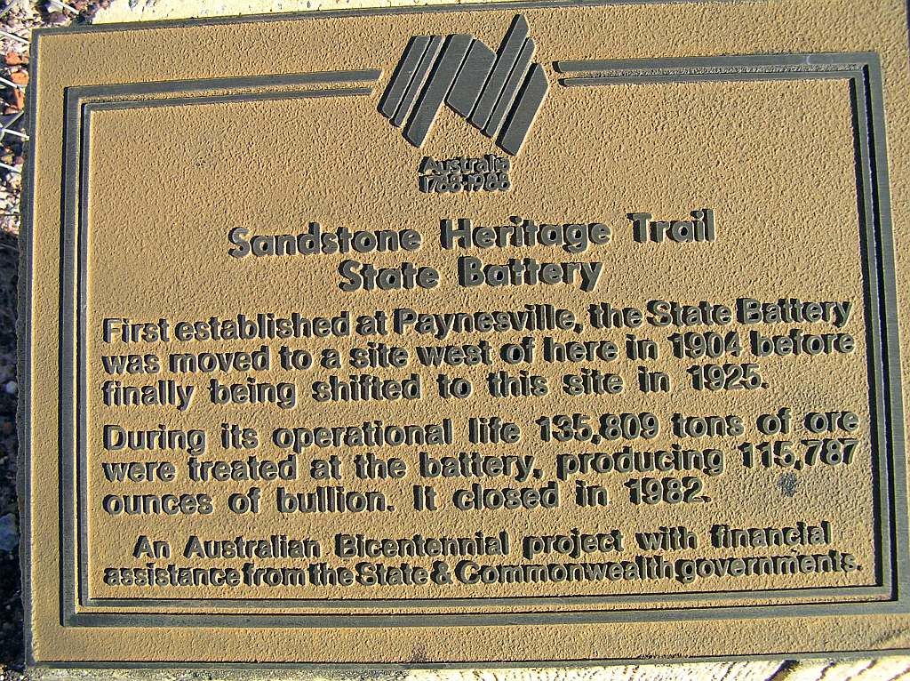
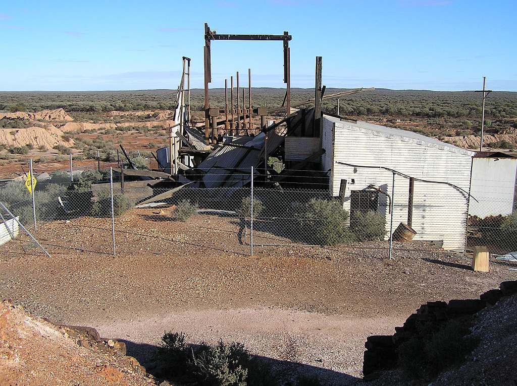
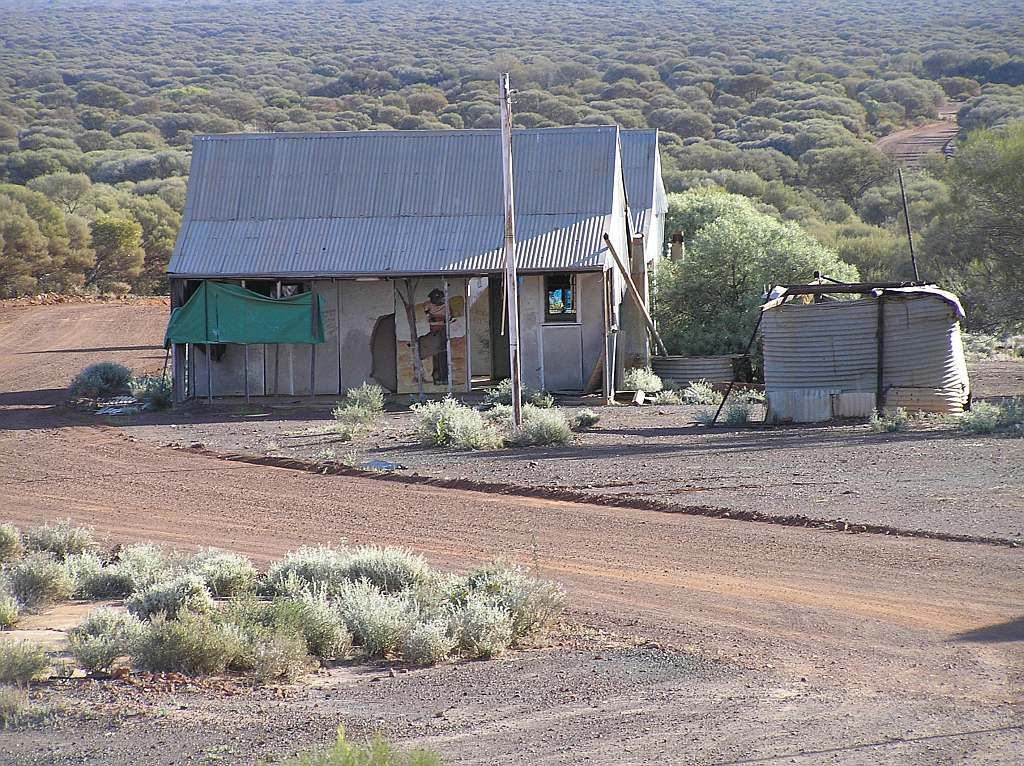
Which in all reality, isn't that old at all considering it was 1982 when it shut up shop for good.
So now I headed for Mt Magnet at around 1530. The aim was to make as much ground as I could in an hour. This would shave an hour off the 700Km cannonball run for home in the morning. At about 1620, a roadside picnic area came up. I went in for a look. Perfect! A table, a roof, a fireplace (makeshift at least) and far enough off the road. Plenty of time before sundown to get the chores out the way.
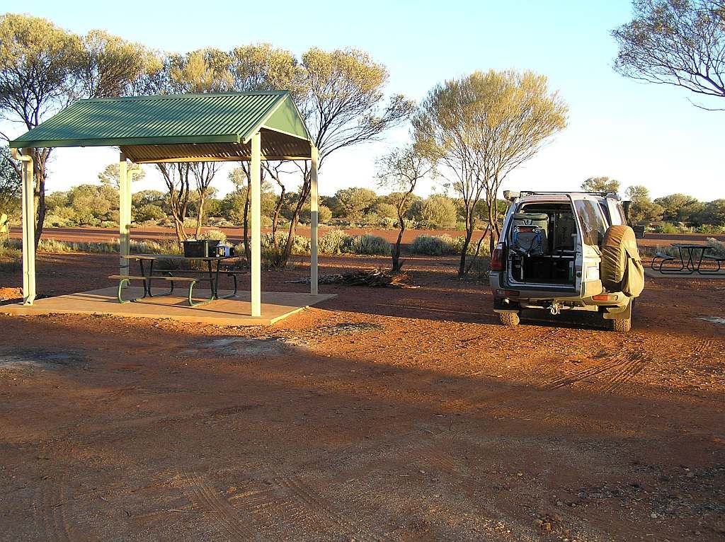
Here is probably a good point to bring up a review of a recent purchase. This item arrived the week that I left. I didn't know how functional it would be, but I found it to be one of the best items one could carry. For manual transportation of firewood, this thing rocks. 3 loads and I had enough fuel to last me the night. I've included a link and hung it on a tree for illustration purposes. At times, I carried some 4" diameter logs in there along with the smaller stuff.
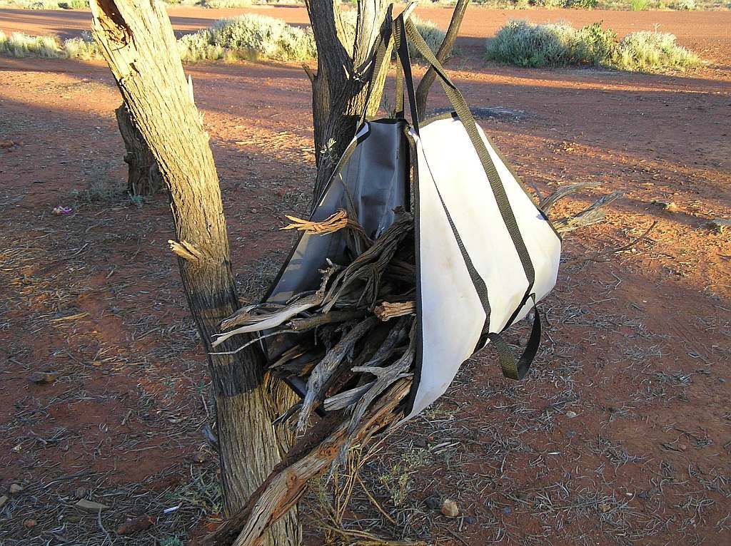
wood carrier
Pick it up when he is running a special, along with a few other items to make postage worthwhile, and its a great investment.
I spent the night watching a dozen or so road trains barrel down the highway in the foreground of a cosy fire. It was the mildest night to date. Around 0430 I was woken by a road train starting up. He had come in during the night but I never heard it. After he finally buggered off, I got some more shut eye till about 0715. I got up, had breakfast and packed for the journey home. Hitting the road about 0830, I was back in tee shirt weather again.
20km's out of Mt Magnet and I was aproaching some road kill. There had been quite a bit on this road, but funilly enough, very little either on the route thus far or on the Highway home. As I got closer, a feathered B52 (eagle) took flight. It had the bloody wingspan of a B52 anyway and just as much aerial manoeuvrability. Struggling for both altitude and direction, I was closing in fast. I took evasive actions but the bugger doubled back on me right at the last minute. A direct hit on the windscreen. The impact was hard. So hard infact, the rear view mirror popped of its stalk and ended up on the centre console. I dont know how I kept my windscreen. All I can assume was that the impact zome, at the lower left corner, provided enough support to the glass. After stopping to check the damage, straightening my left wiper, refitting the mirror and removing the freakin feathers, I was on the road again.
Stopping in at Wubin for a top up (and an expensive hamburger with the lot @ $13.00 - should have realised when the board didn't show prices) it was the final leg for home.
2250Km's later, 215 litres of fuel at a cost of $360 and $120 of food and the 5 day journey was done. I was always on the go, so boredom never came into it. I saw a lot of stuff, albeit only briefly, and left a lot more to do for another time. What can I say, but road trips.....they cant be beat. If only that 4 letter word didn't always get in the way. Then again its the 4 letter word that funds such trips, so its a catch 22. The fact that I only saw about 1/2 dozen flys/bugs over the 5 days was great. I cant wait till the next opportunity arrises.
I have to say, this area is becoming one of my favoutite "local" places to visit.
Cheers and thanks for reading.