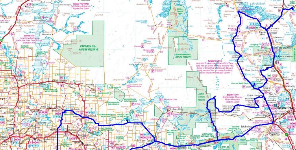
Journal of a 6 week trek through central inland Australia, 2013
18 months prior, a mate from QLD asked me if I wanted to join him on a Simpson Desert crossing. As I planned on a 6 week trip at that time, I thought, why not? I would do a loop of central inland Australia. The last couple of months prior, all detailed route planning was done, permits arranged etc. About this time I got hooked on a book. "Australia Traversed Twice", Ernest Giles. This was a journal of his 5 expeditions in the 1870's to cross inland from the East to Perth I modified some of my route planning to visit areas he explored.
September 01 -
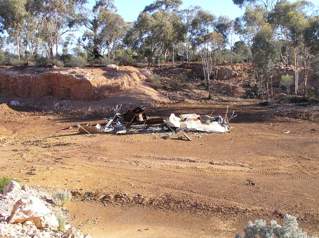
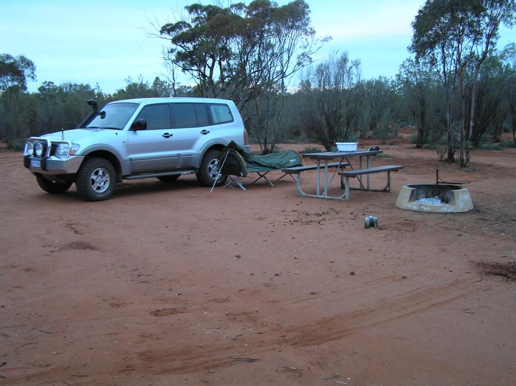
We hit the road and pulled up stumps for the night in the Goldfields near Widgiemooltha, some 680 Km's from home. A simple clearing up a track not far from the highway. It looked to be an old mining camp of some sorts. lots of eroded surplus equipment and rubbish floating about, and a 44 gallon drum dump.
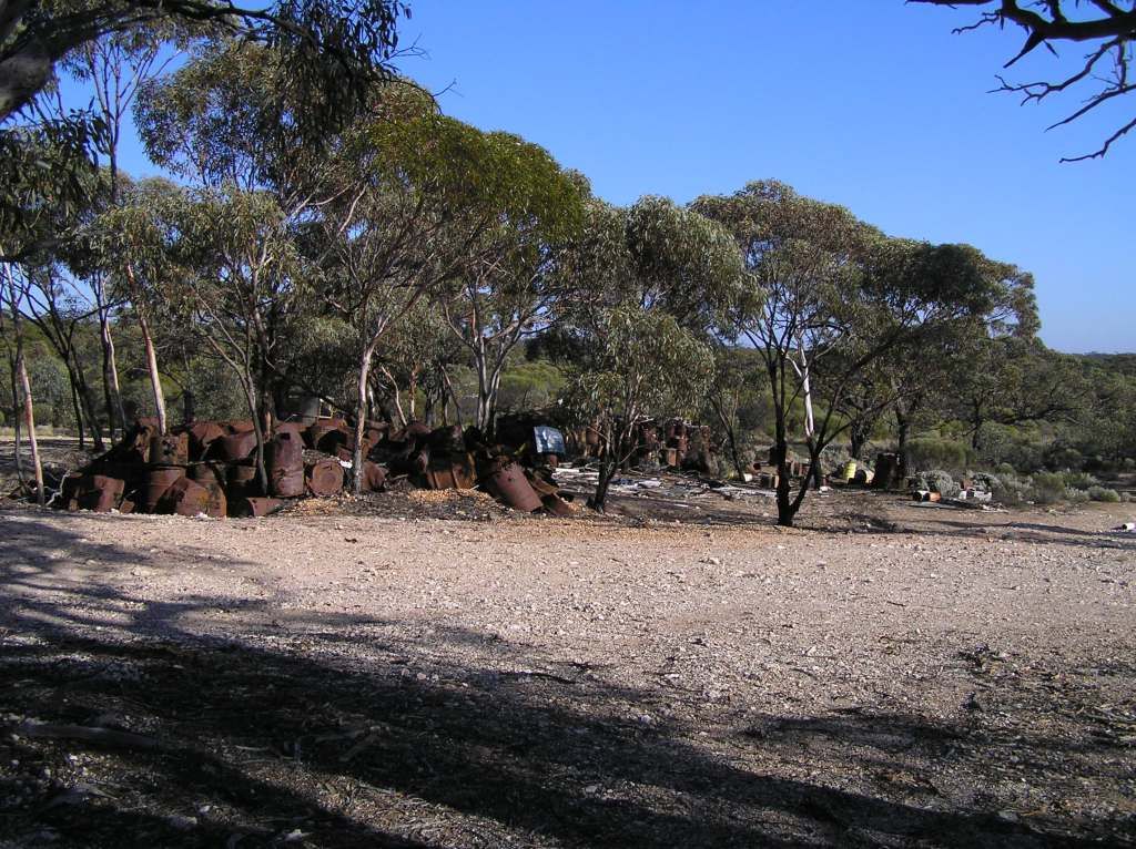
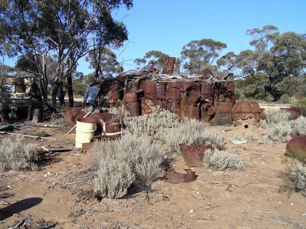
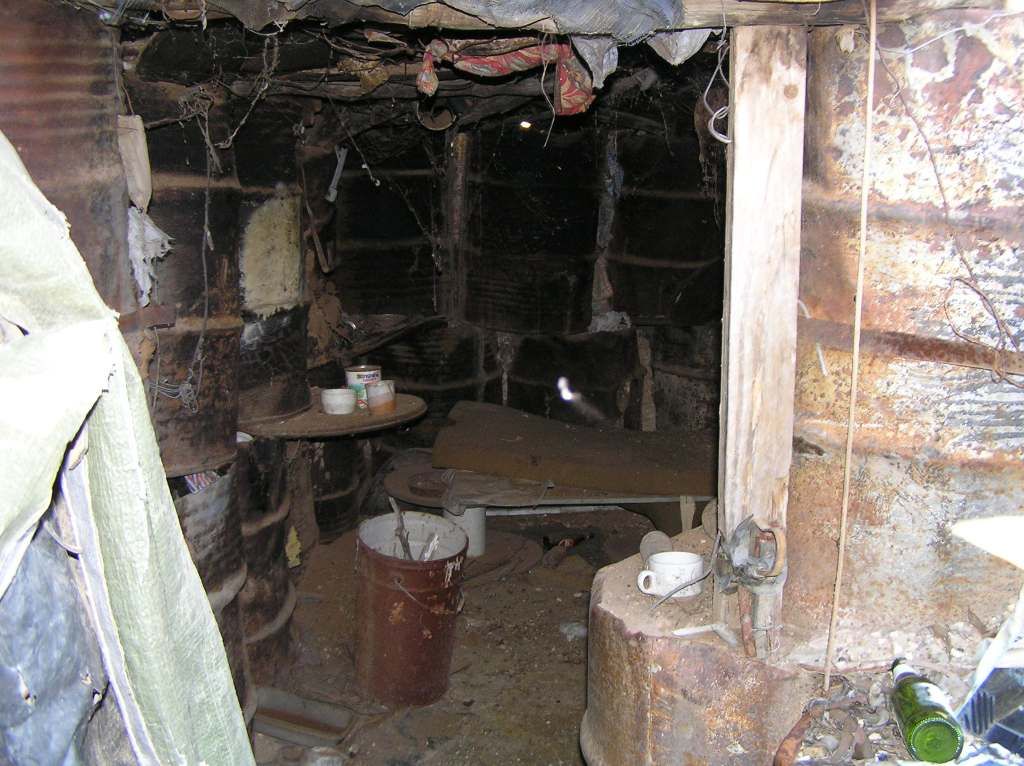
Or so we thought. Upon investigation in the morning, it turns out the drum dump was actually somebody's home at some stage. Drums laid out to make both internal and external walls, gaps filled with mud and roofing consisting of local timbers, tarps and dirt. What a way to live. And inside, still remnants of former occupation exist
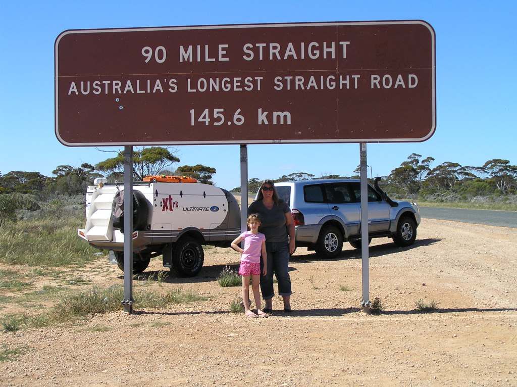
Next morning we refuel at Norseman for the Nullarbor. We cruise the longest straight road in the nation
We headed off to a camp at a spot about 60Km's West of Mundrabilla. I have named this camp tim tam, in honour of spending the night here with Dave and Liz from the Central Highlands, NSW, whom we met at this camp back in 1990. After dinner, we scrounged up what we had between us to make a desert. Chocolate custard and tim tams it was to be and therefore the camp got its name.
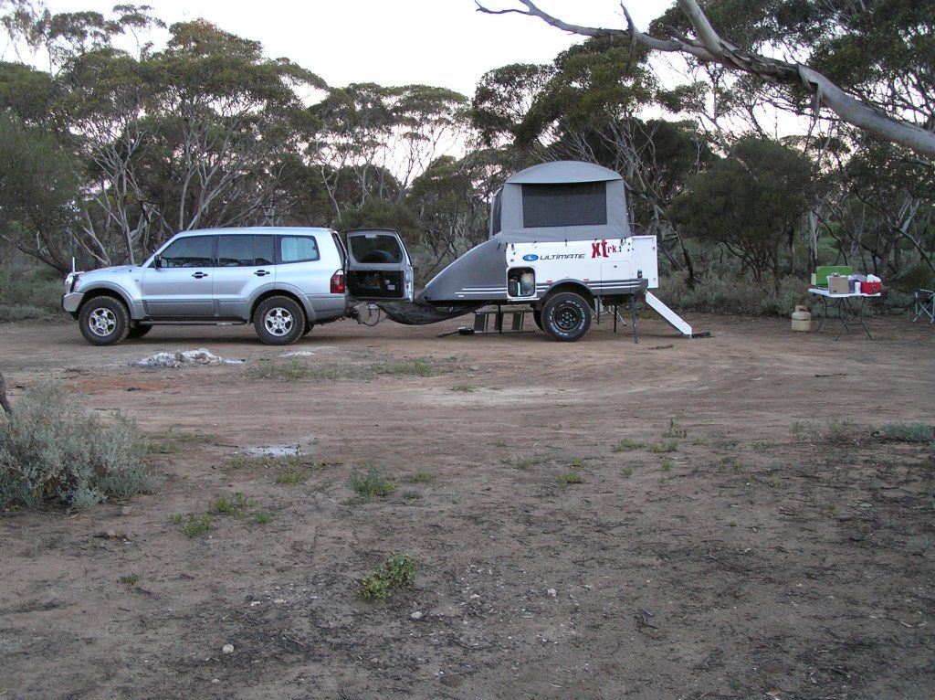
The following morning, and we get a taste of the southern lattitudes. Whilst having breakfast, I note it looks like a severe change is not too far distant. So its drop everything and pack up quick. I just managed to get the lid down as the rain started to fall. This rain fell on and off for quite some hours. I've included a pic of the camp for Dave and Liz's benefit, as I know they will read this blog and appreciate the memory
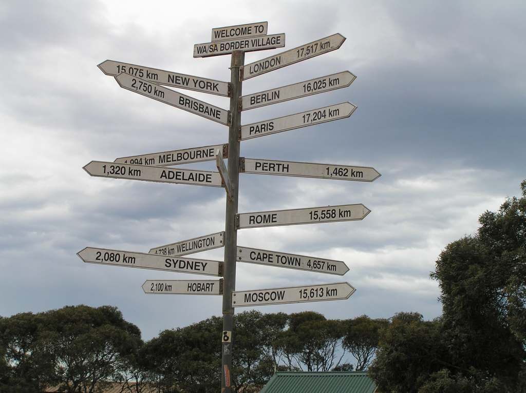
Again, we refill at the border. I always thought Border village was cheaper than Eucla. I obviously had that arse about when the prices between the two were reviewed.

At the border, we took a less traveled route along the real Eyre Highway. About 200 Km's of fairly good gravel roads, until we again crossed the blacktop. The clouds were threatening.
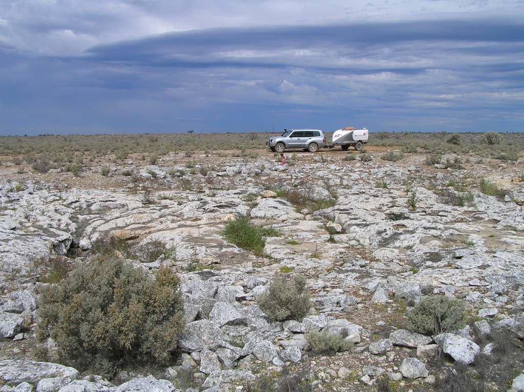
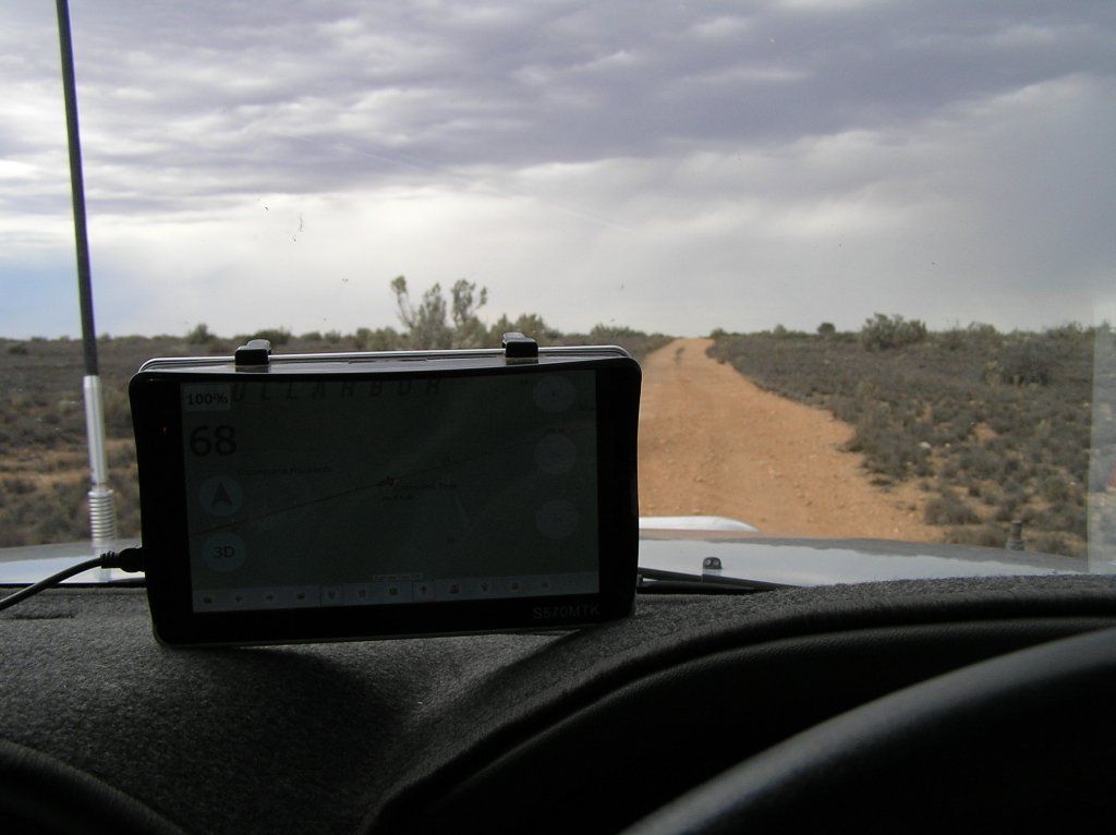
And its flat as a tack out here as far as the eye can see
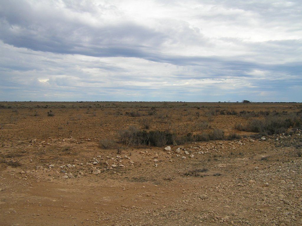
The aim of the detour was to pick up a cache at the abandoned Koonalda Homestead. The homestead was originally a roadhouse servicing the traffic along the old road. It is now a relic of old buildings, farming relics of days gone by and a spectacular collection of vehicles that didn't make the crossing.
One building, whose walls are made from the old railway's sleepers:
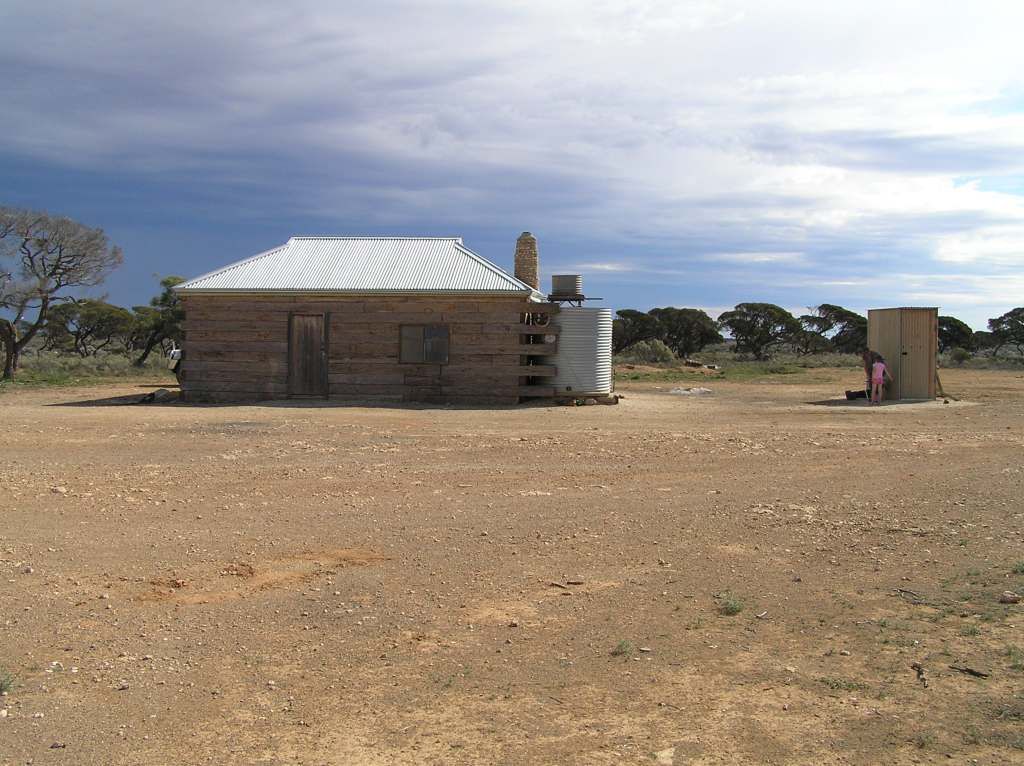
And other shots around the station
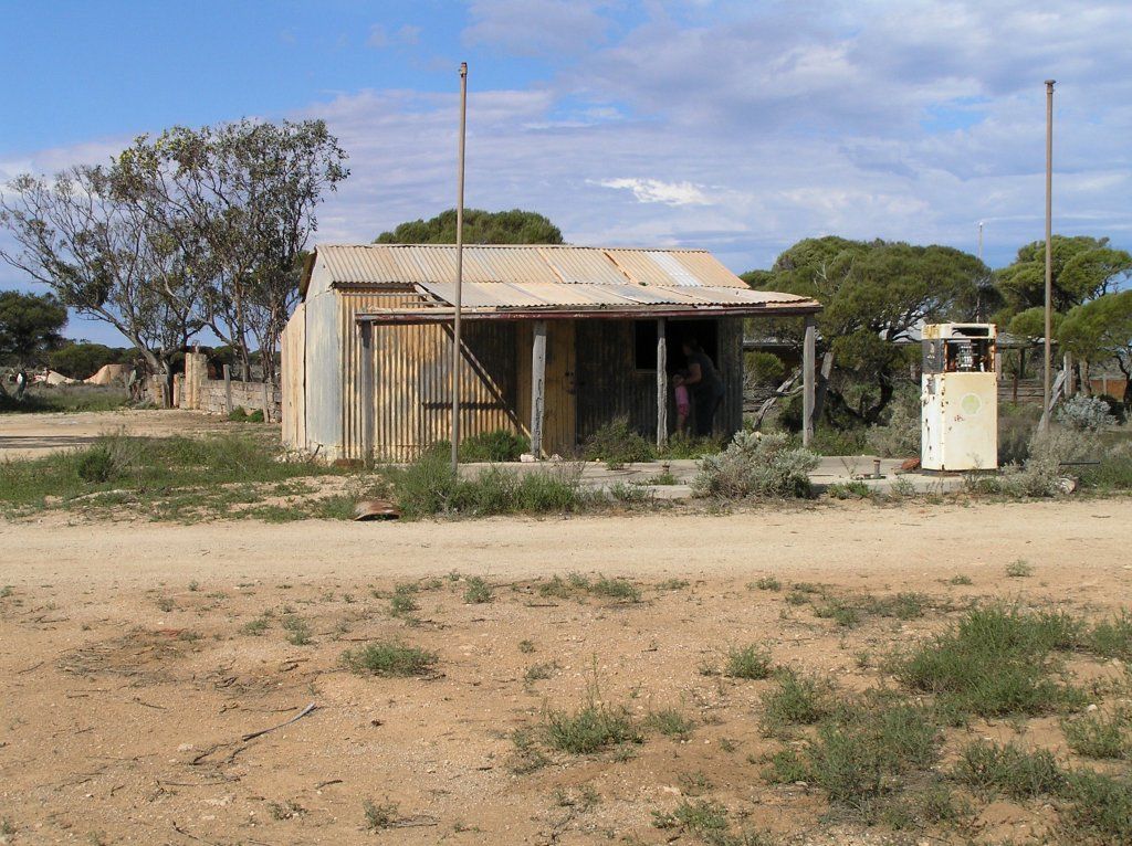
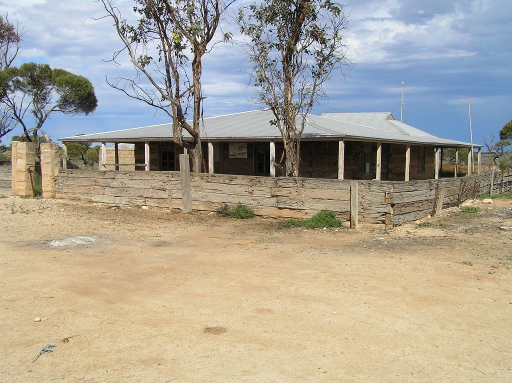
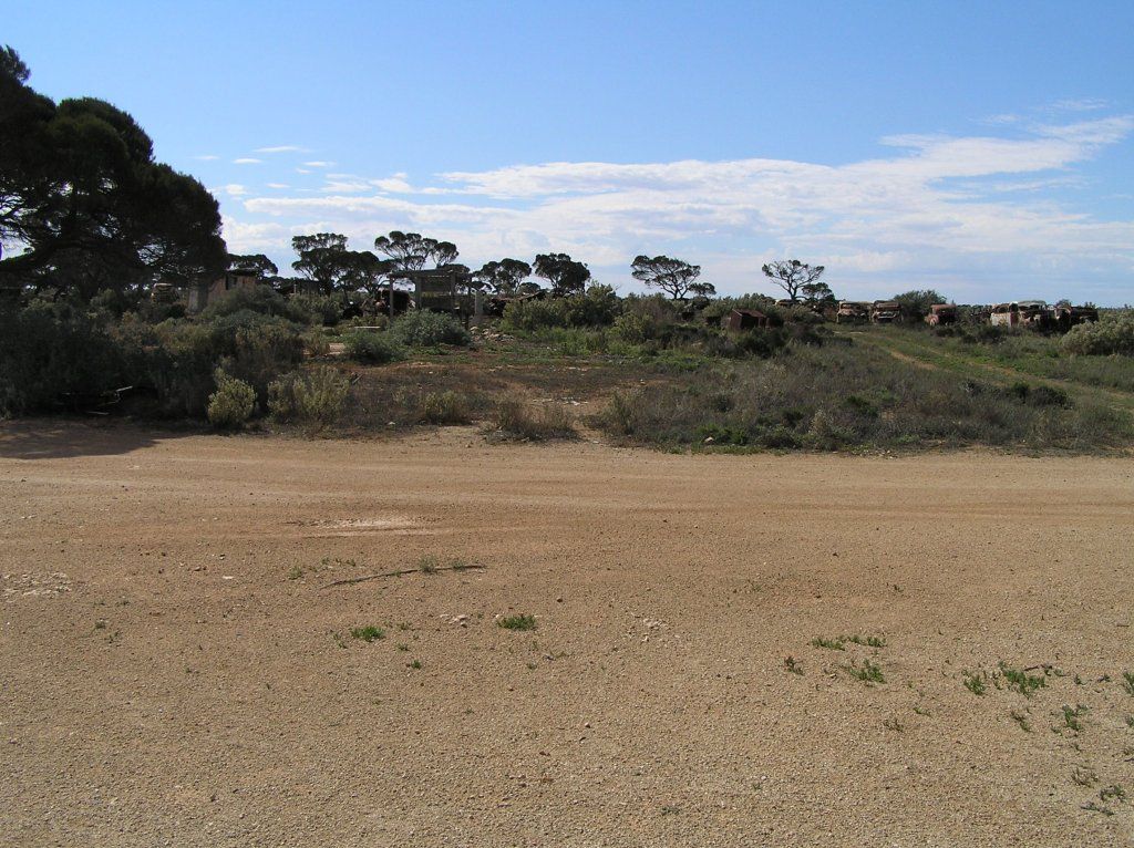
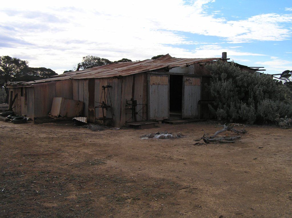
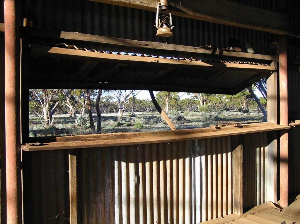
With the weather still threatening, we decided to stay the night. We could use the sleeper hut for shelter should the heavens open again. It also had a nice roofed verandah.
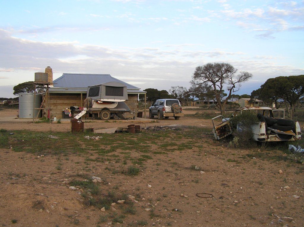
After setting up camp, we ventured off to the north to find the cave on the property
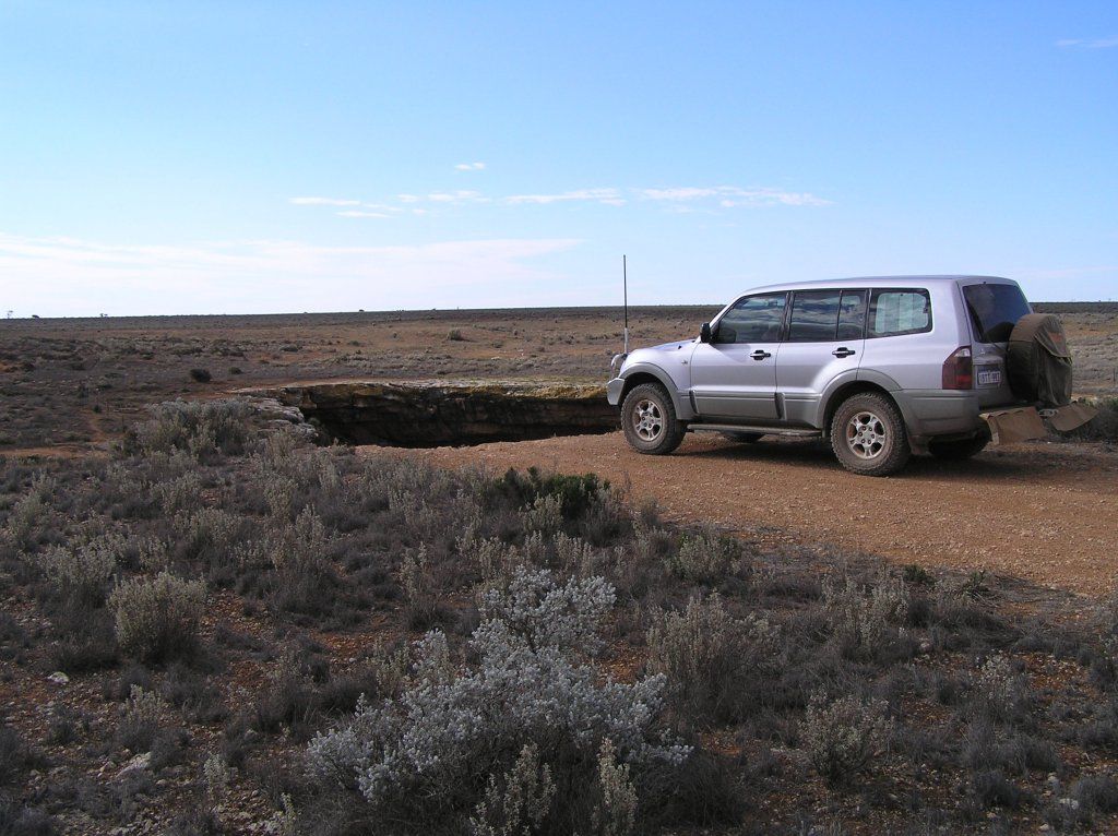
As luck would have it, it remained dry. We spent an interesting night watching the lightning on the horizon, so far away due to the flat terrain. The flies disappeared at dark, but we were then infested with beetles. Christmas beetles as I know them as.
Next morning and we continued up the Old Eyre. A couple of mangy looking dingoes were sighted. I'm sure they are just living off the thousands of bob-tails we saw out here. I also ran over a snake, I had no where to go to get out of its way, nor enough time to pull up. Taking the Cook road out to the highway, and then crossing it, we ventured the 4km's or so of narrow sand track to get onto the Bight. The girls watched a whale for some time, but when I approached with a camera, it was never to be seen again.
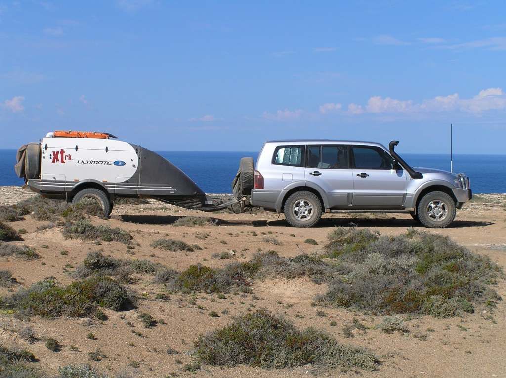
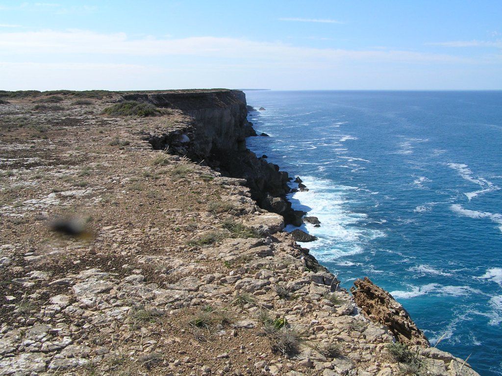
We headed East down a track I thought was to follow near the edge of the cliff line for some 20km's.Unfortunately, it turned out the track was mostly out of sight of the cliffs, although still within a few hundred meters of it for the best part. We then made our way to the Nullarbor roadhouse and had some lunch.
From there we headed to Scott bay, a free camp a couple of K's from Fowlers bay. Fowlers bay was Giles's start point for his 3rd and 4th expeditions. The only reason I came here really. The coastal scenery around Scott Bay was fantastic. But that weather we watched at Koonalda, came to visit us here. Dinner was a mission of trying to pick a time between showers. K went to bed early (it was pretty cool due to the wind). Alli and I tried to stay warm under the ulti lid, but the wind kept blowing the showers under there and keeping warm was difficult. Time for a JD Tennessee Honey me thinks. The ulti had its first wet pack up when we departed.
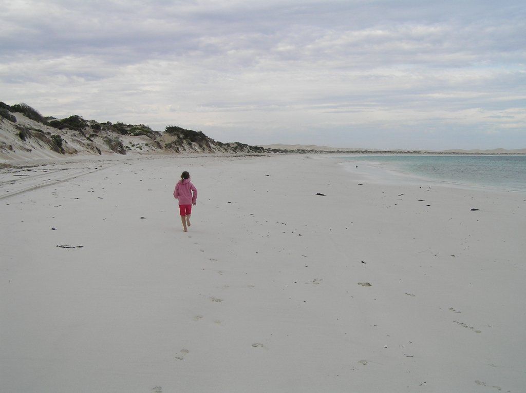
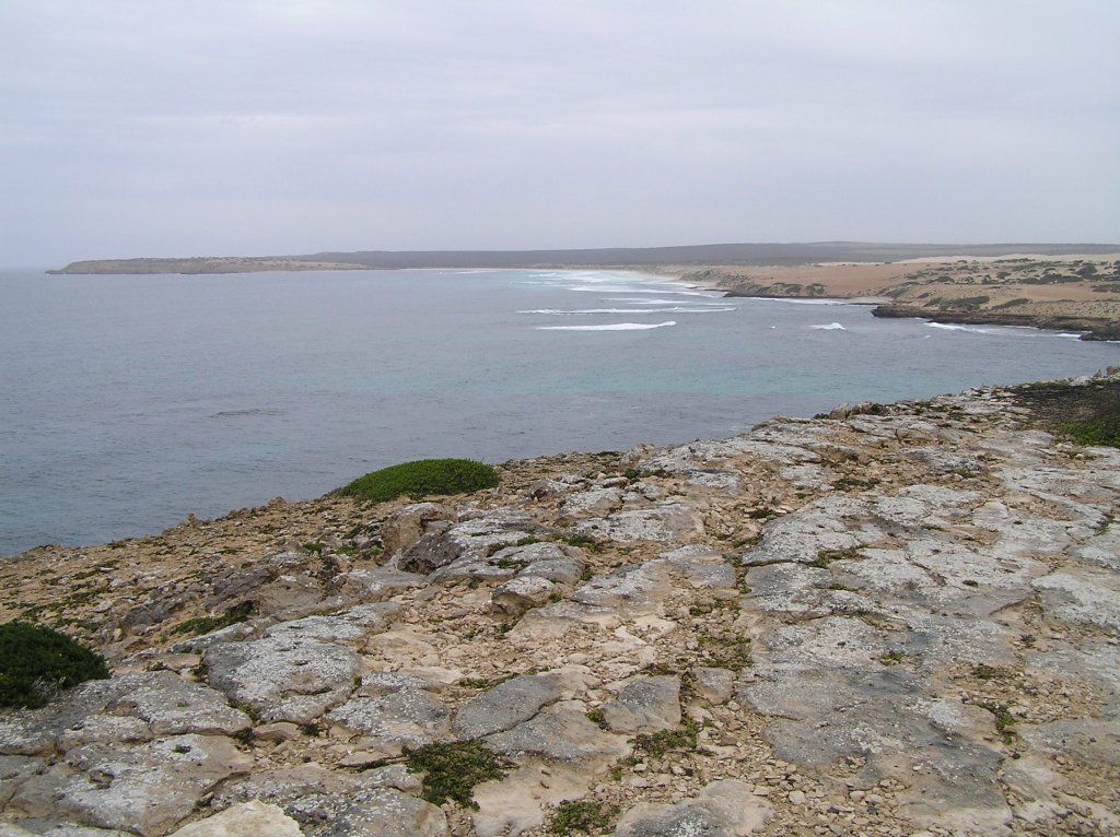
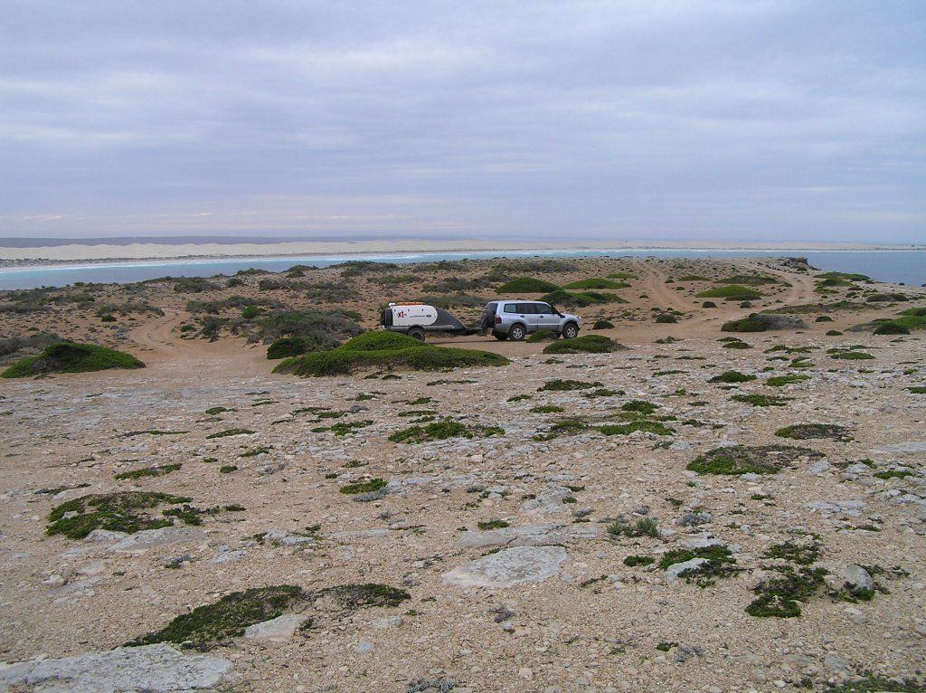
From Fowlers Bay, we made the quarantine checkpoint at Ceduna. My fears were not realised in so much that he didn't make me open the camper to check the fridges contents. We did hand over any contraband we had though and he did check the car fridges content. We headed to Streaky Bay and found Tractor Beach. Within 10 minutes of us pulling up, 2 separate, unknown to each other, Ulti's also arrived. Out of the 4 spots at the camp, the ulti's consumed 3. Our own little Ulti muster. As we arrived late afternoon, we spent 2 nights here. Weather still threatening, but very little in the rain gauge. The drive along the coast to Sceale Bay on the second day was interesting to see.


The 3 ulti owners all had a good squiz at each others ulti, and how we do things differently. Neil and Heathers roof top solar was a great bit of engineering. Bob and Libby's ryobi one+ chainsaw with car charger was another great idea. I have just purchased one of the ryobi's myself for xmas.
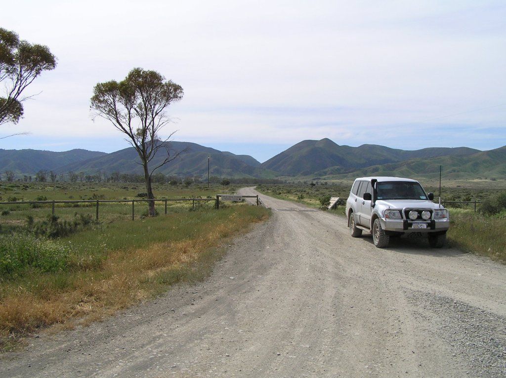
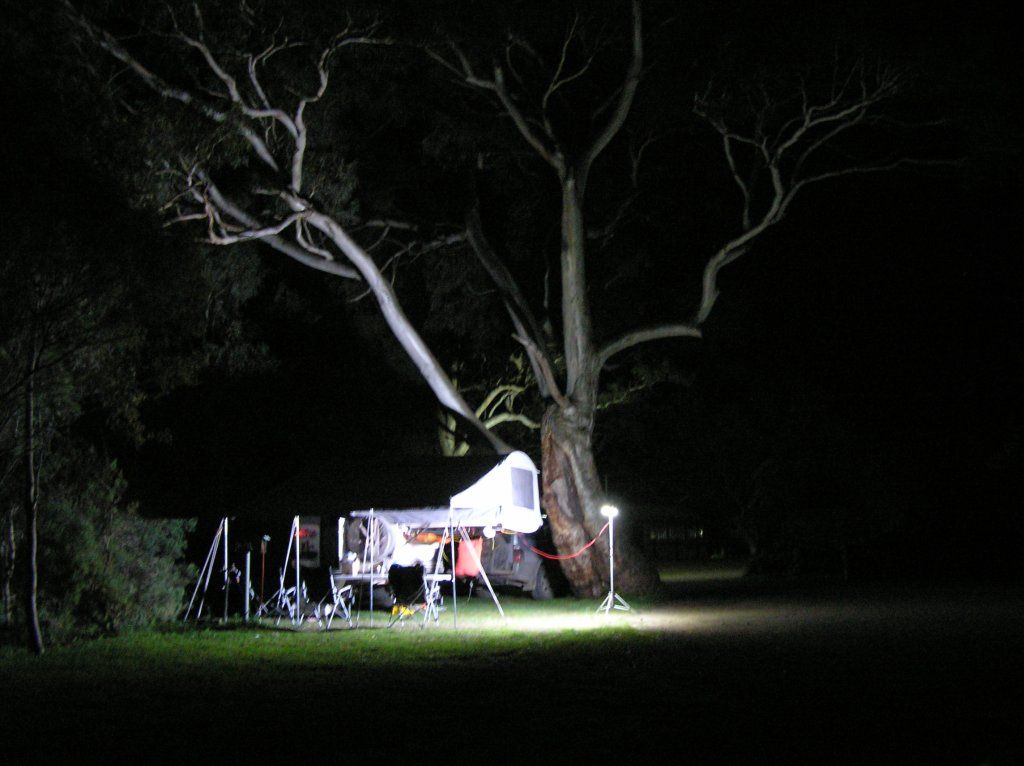
We head onto Pt Augusta via Kimba for 3 days to restock for the desert crossing. Spear Creek Van Park was very good for the price. And being at the foot of the Flinders, very picturesque. Neil and Heather arrived on day two as well. The new 6000K led light bar made an interesting feature of the red gum in the background at night.
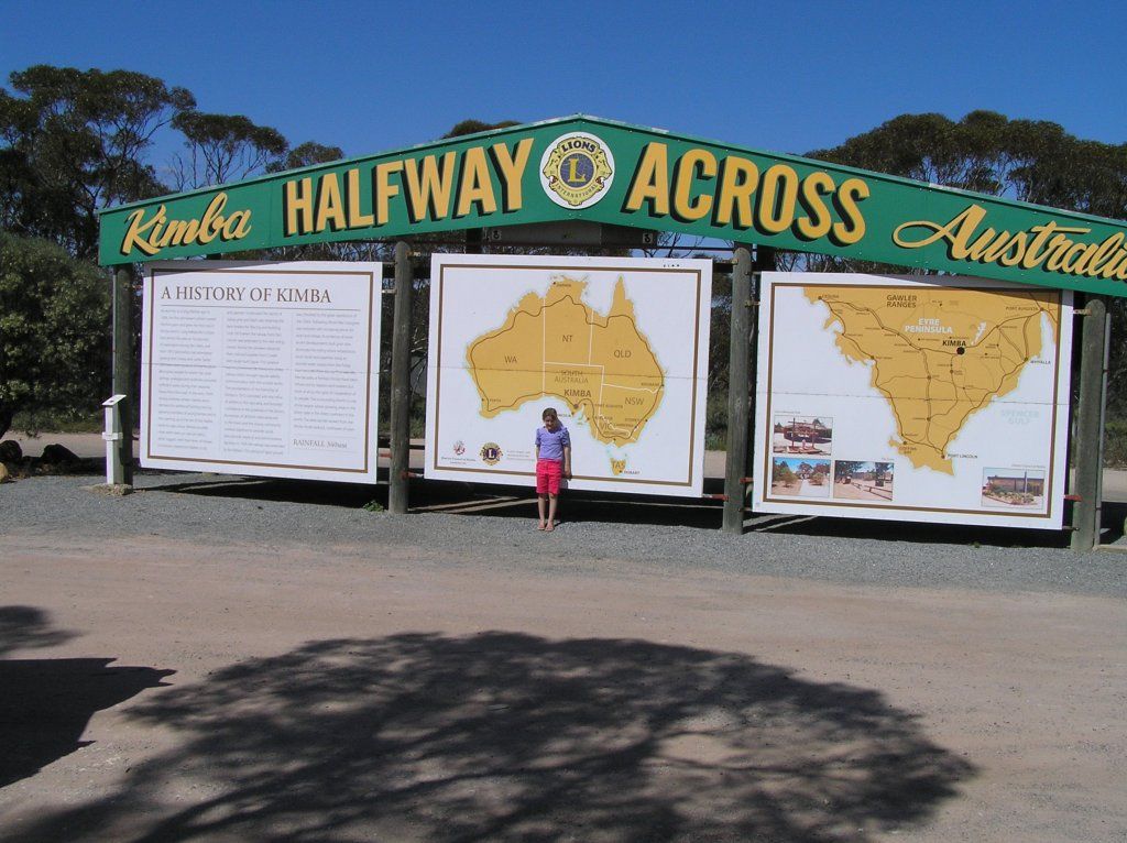
September 10 -
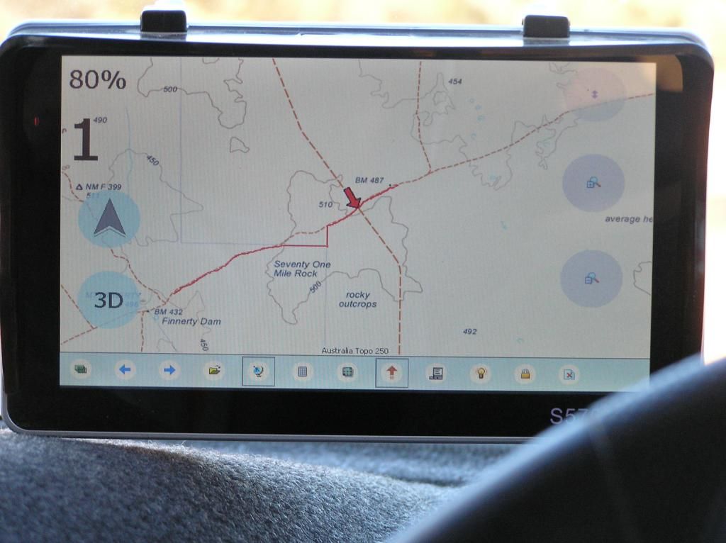
Leaving Spear creek behind, it was time to spend some time in the Flinders. Note to self: in unfamiliar country, it pays to check your pre planned route before you head off as I had all my route waypointed before I had left Perth. Up Horrocks pass and into the Willochra plain was very scenic. We hit Quorn and headed towards Hawker. And then I realised my mistake. Our planned camp at Warren Gorge was to go via dirt from Quorn. I only realised my mistake about 30 Km's from Hawker when I saw a turn off to Buckaringa. Pulling up, and reviewing the map on the touch screen, I found my mistake. This turn off was planned to be my exit. So long story short, we went in via the exit. At least we got there. We set up camp and went for a drive. First out to the Buckaringa lookout, then onto Buckaringa gorge itself.
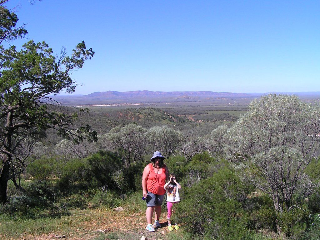

The Gorge is maybe a couple of K hike to get into. It is gated to prevent vehicle entry. It was a working property once, since purchased by the Australian Wildlife Conservancy to preserve its environmental heritage. On the way in, those numerous bob tails were still around, the opportunity to give K a close up biology lesson too great an urge to resist

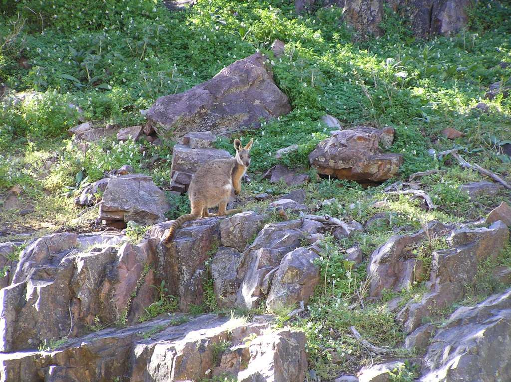
This is the home of the "rare" Yellow Footed Wallaby. As luck would have it, we saw some up the slopes. I grabbed the camera and waited. It had its head facing away from us. As I focused on the camera, waiting for the shot, I muttered to my self "turn around wallaby". Well it must have heard me, cause it did just that, and I fired off a shot. K was amazed. She still thinks the wallaby heard me.
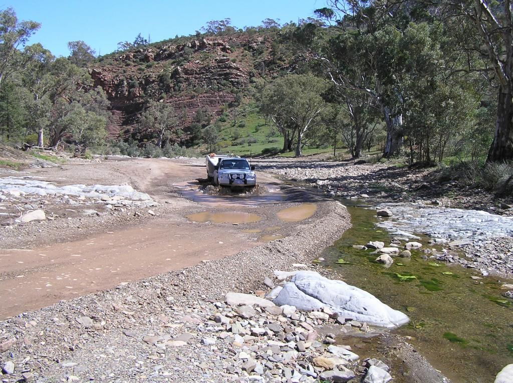
The following day we made for Wilpena Pound Resort. Not far from this small creek crossing pictured below, a track was noted with a small signpost to Hawker. Reviewing the map, I thought, why not. One of my maps had this named as Bobby Creek Road. What a remarkable, picturesque route this proved to be.
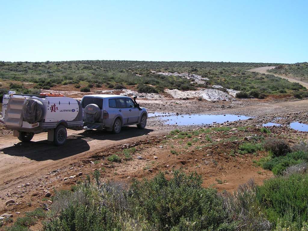
Some images from the route. Note how green the Flinders were.
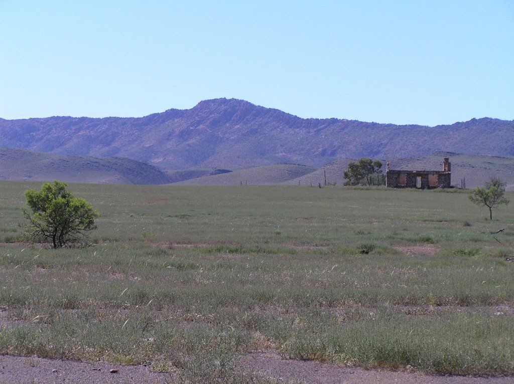
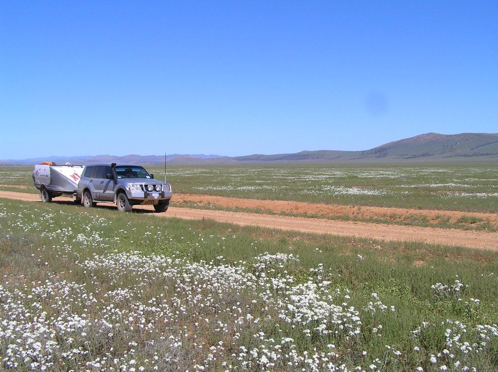
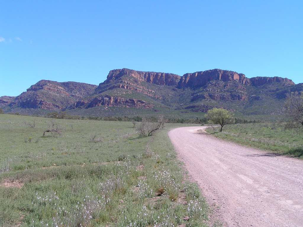
The track was a bit narrow at the start. Then it opened up into country very much like the Willochra Plains with fantastic scenery. At some point in the middle, the going got a bit slower as you traversed channel country. Here I didn't see a washout till too late. Hitting the skids, the front right hand wheel hit quite hard and made a hell of a bang. I felt sure I had just done a wheel. But as luck would have it, all was well. Just the other side of the channel country, we passed two oncoming vehicles, so its obviously no secret about the route. From there we shot off to Wilpena.
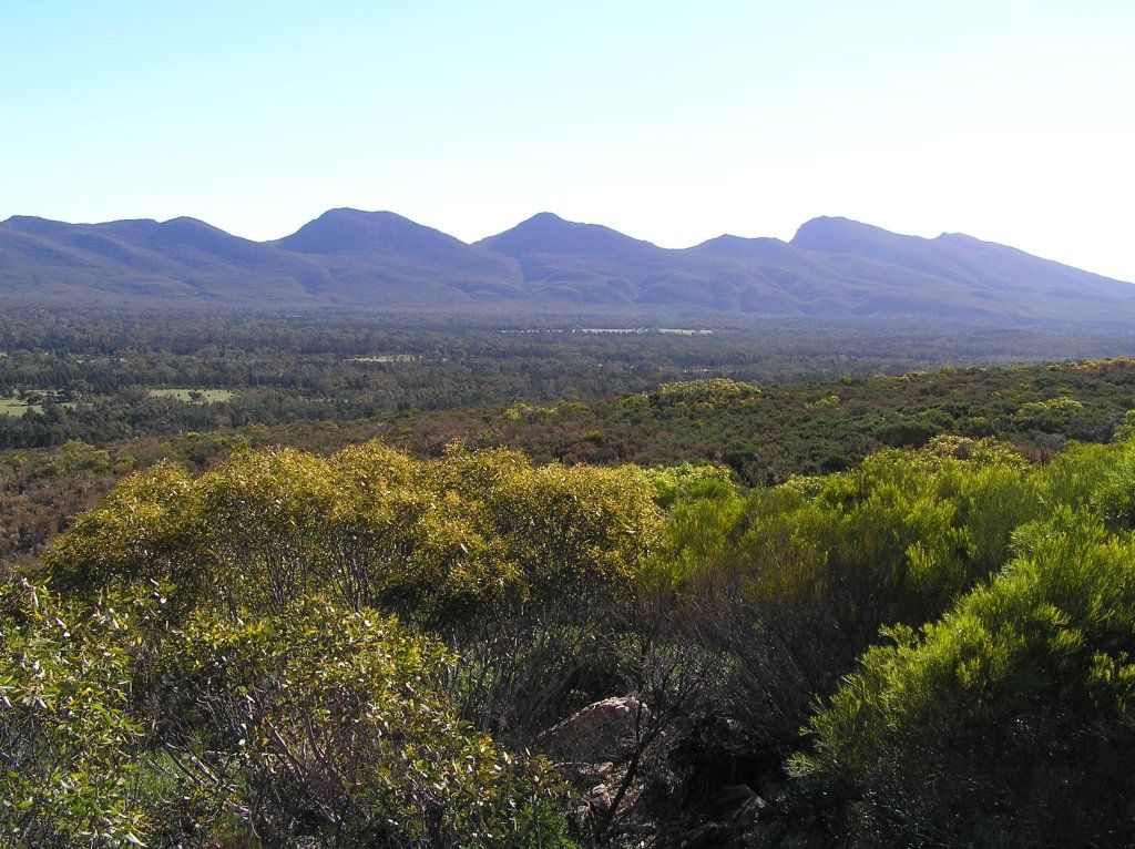
With camp set, and lunch done we took off for the 8km lookout hike. This would be K's biggest walk to date and we didn't know how she would go. It was quite warm, but the majority was well shaded, so that gave some relief. The last 600m or so was up the escarpment. Subsequently, I left the girls way behind. Once at the top, I was a bit dissapointed. I was expecting to see a large circular depression, surrounded by ranges, like all the "tourist" images one see's. It was not to be as the view was blocked considerably by the ranges and only a small amount of the pound was visible. Most of the other hikes in the National Park were of much longer duration, so I guess when K gets a bit older, these may be an option. She did well, but the return journey was a chore trying to keep her moving.
The view from the lookout:
We had planned to leave the following morning. However at 0630, the sky dumped its contents on the camper, so I decided against a wet pack up and to stay another day. After breakfast, we drove into Hawker for a look around, then we hit some scenic drives.
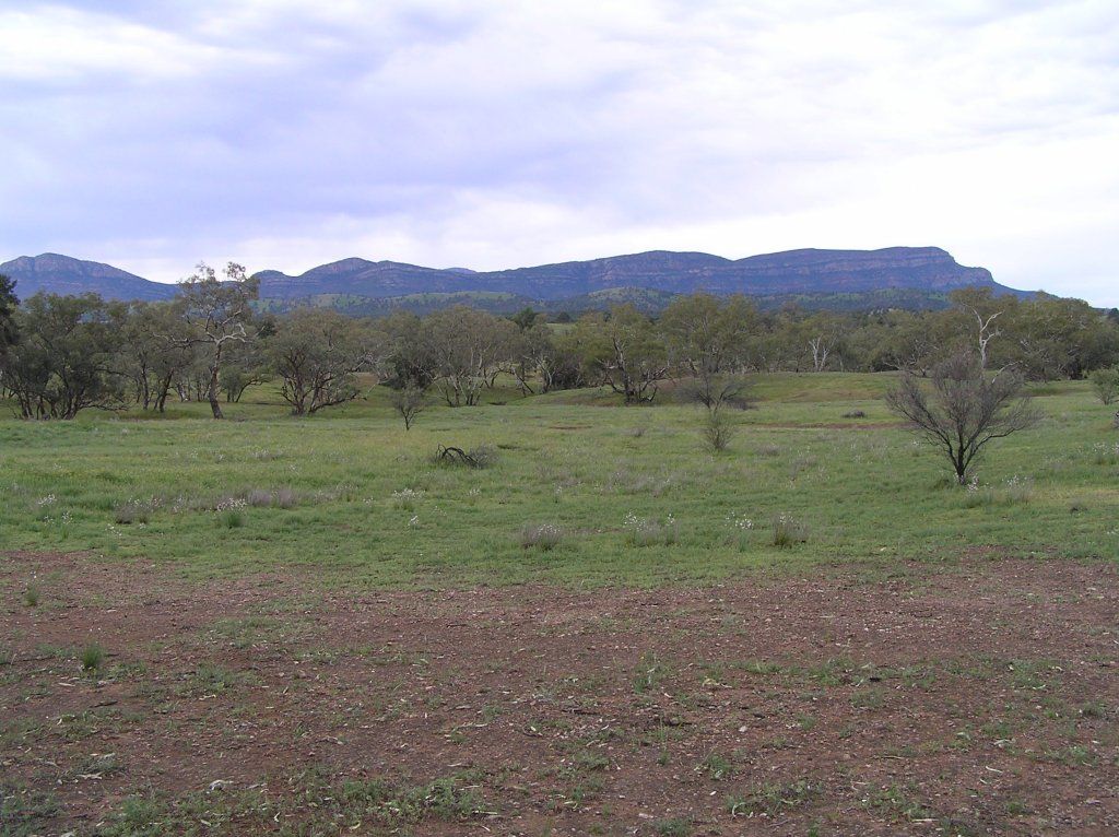
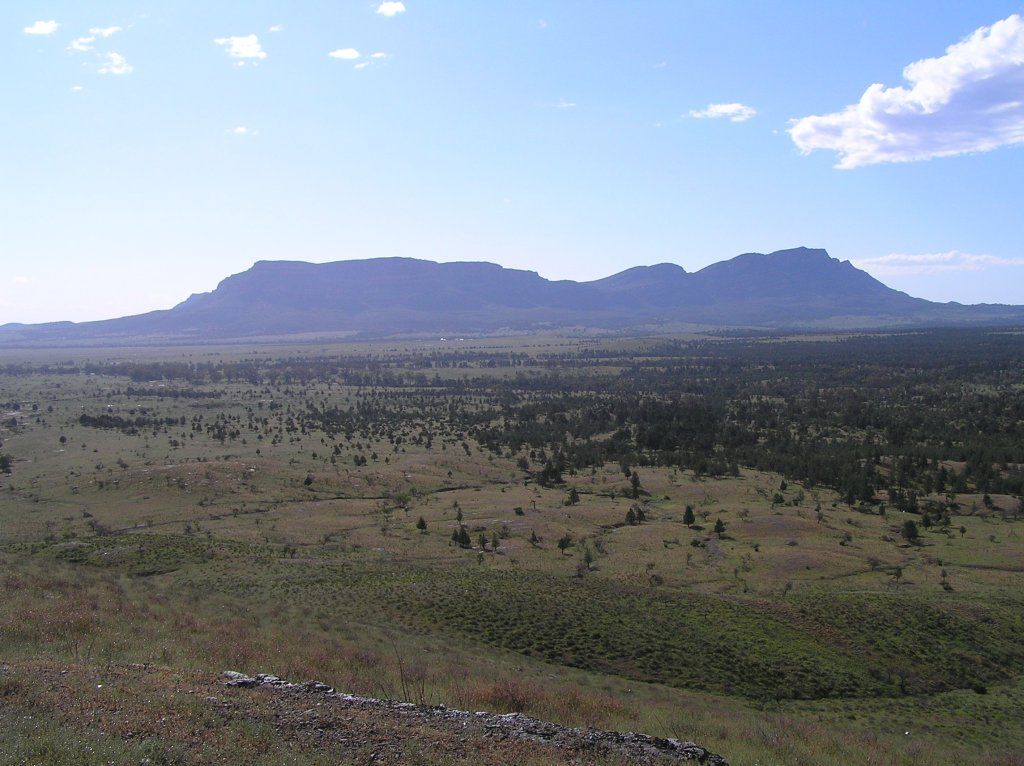
Moralana drive passes behind Rawnsley Park . The scenery here was spectacular. I have heard great reports about Rawnsley. From the back end, I dont doubt it
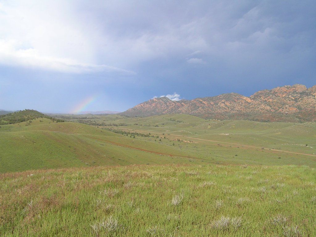
I saw some feature down another track on the map that looked interesting. About 10Km's in, the road turned to slush, steering was near impossible and at one point I nearly ended up in the bush. So I chose to turn around and preserve the vehicle as I had a hell of a lot more to go. Too early in the trip for my liking to start doing damage. But we did crest the relatively steep Pugalist Hill to grab a shot of a rainbow formed over Chace range. Right throughout the whole Flinders, the place reminded me so much of the ranges in the Kimberley, yet they must be 4000Km's apart and in a completely different climate.
The following morning, we left Wilpena. My plans now thrown into disarray as we stayed another day. And I didn't know the region, so that made it doubly hard. We drove into Brachina gorge where I had planned to camp the day prior. What an amazing, lovely place this was. Definitely on the to do list for next time.
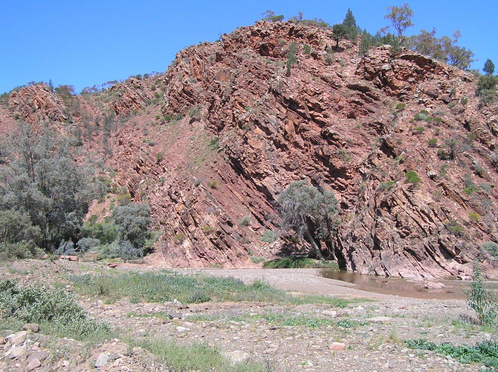
some pics of the scenery in Brachina:

From Brachina, we headed up to Blinman and had a nice lunch at the general store. Then we headed up towards Nuccaleena. Upon entry, we found this was part of the Public Access Route, but permission was needed prior from Moolooloo Station to camp there. They were kind enough to give a phone number. But who has coverage out there? Fat lot of good that does me. I continued on for a bit, but my conscious got the better of me, so I bailed.
Continuing on, we ended up at Parachlina Gorge. A fabulous free camp.
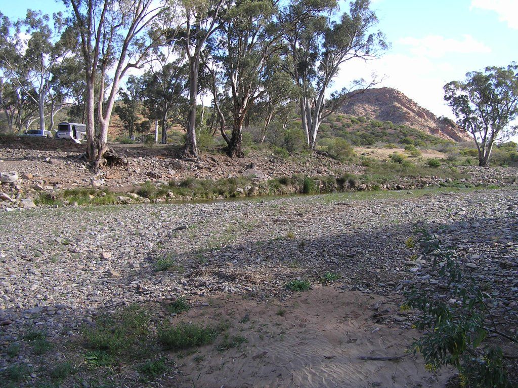
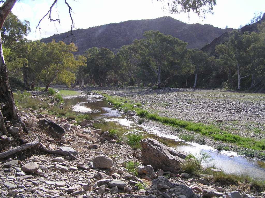
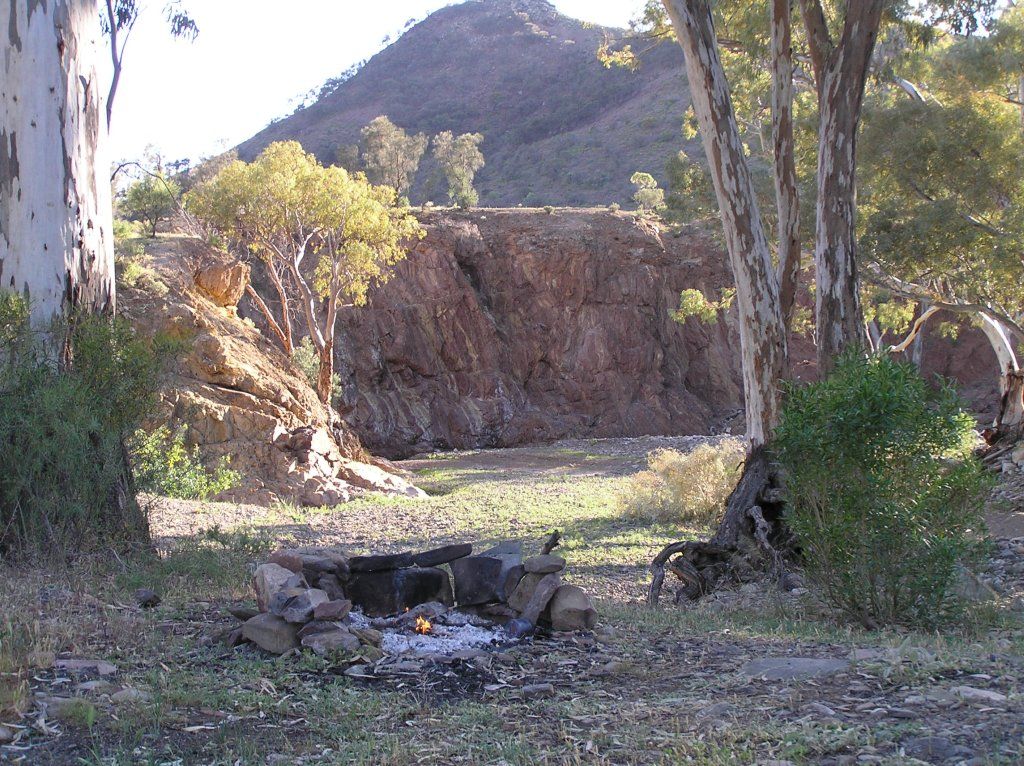
Next morning, we drive the 11Km's to the main highway and our Flinders journey is at an end. But today, we should meet up with Wayne and Co from Qld. The next part of the journey is about to begin. Giles traversed to the West of the Flinders to a staging point at Beltana Station. At the time owned by Sir Thomas Elder, who just so happened to help finance Giles's expeditions and also to supply him with the much needed camels on the 3rd expedition onwards
Some further reading on Beltana and Sir Thomas Elder:
http://www.beltanastation.com.au/
http://en.wikipedia.org/wiki/Beltana,_South_Australia
http://en.wikipedia.org/wiki/Thomas_Elder
The origins of the iconic aussie rural business "Elders" was established by the brothers of the same namesake. Thomas was a remarkable man, earning a fortune from the land, but also returning it back to society.
There was no way I could pass up on the history of the township, although I didn't visit the station.
The mission built by The Rev. John Flynn (of RFDS fame):

And the town bakery:
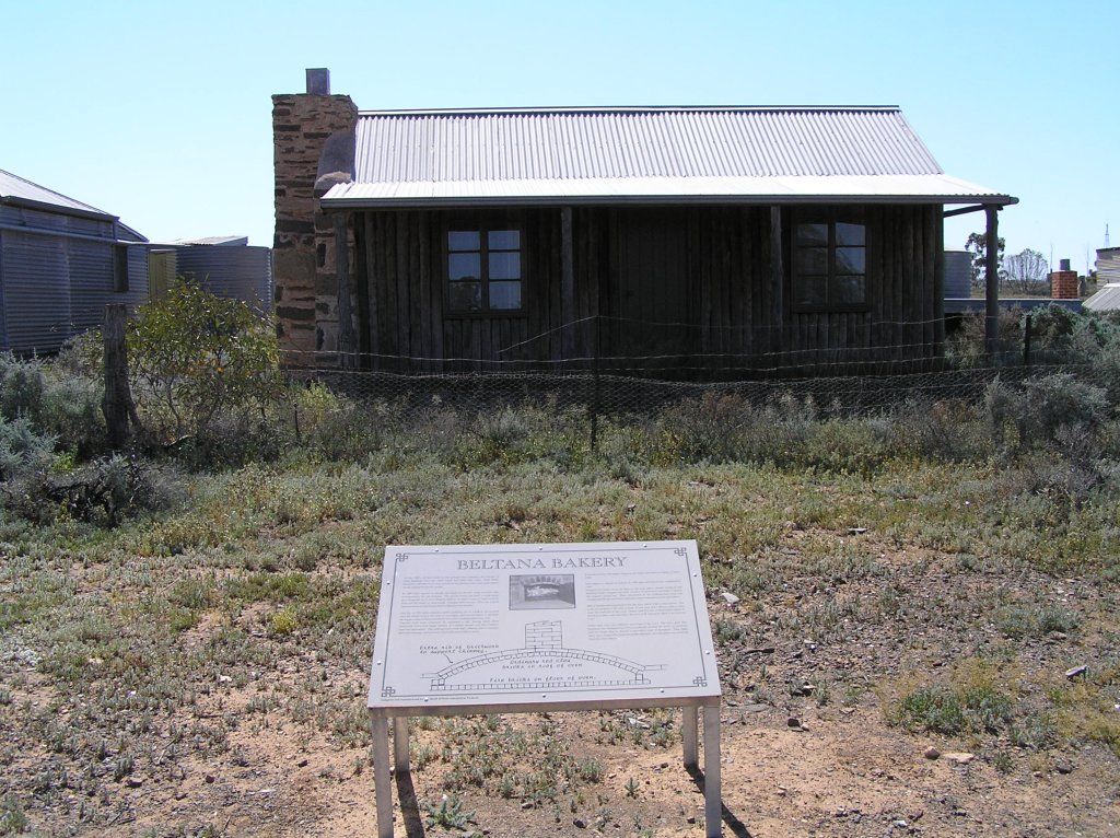
Unfortunately, our visit was only a flying one as we had to get to Lyndhurst to meet Wayne who was coming down the Strezelecki. Giles now travels Northwest in country we can not access.We will pick up on his journeys again once we cross the Simpson.
We dropped into Leigh Creek for fuel, and low and behold we were waved down by Wayne at the service station. Unfortunately for Wayne, this was his second wave. Another Ulti had come through town a bit earlier. We stopped in at Talc Alfs. Supposedly he is a right character, unfortunately he wasn't home.
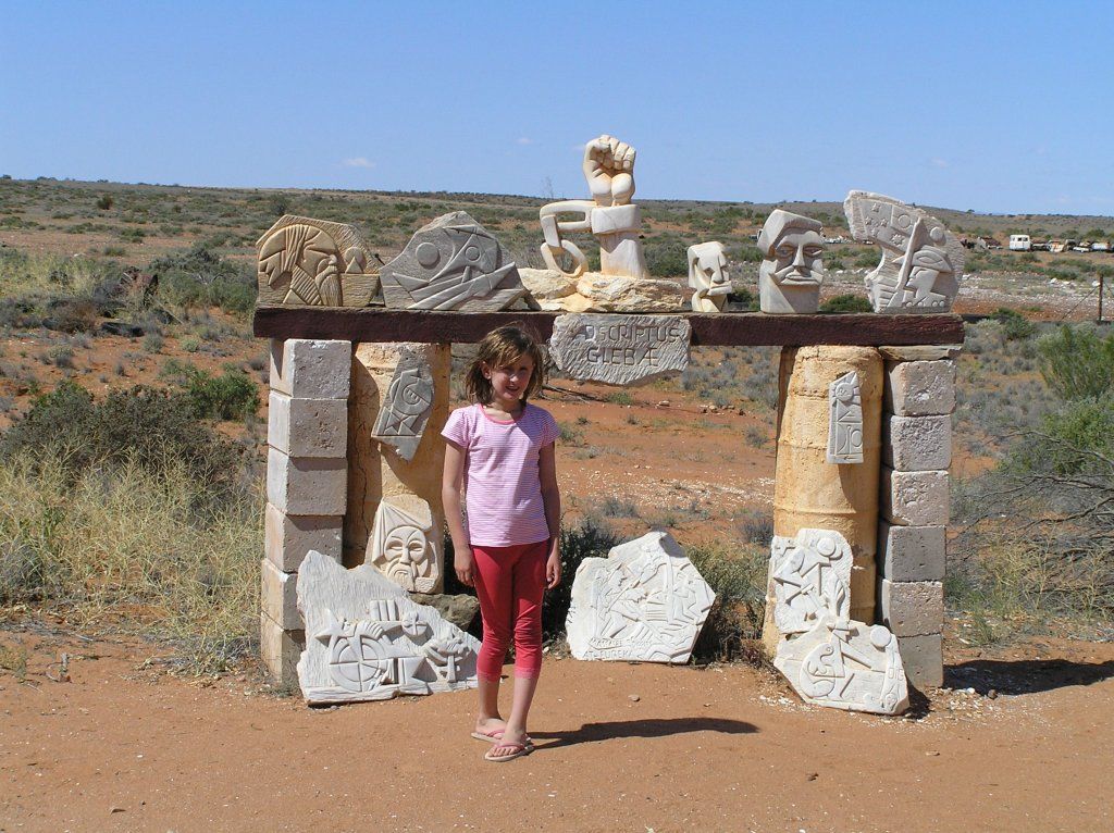
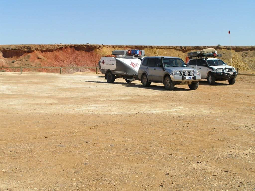
We had a stop at the ochre pit to the North of Lyndhurst. Interestingly, these also got a mention in the West Macdonnell's, such was the value and trade of ochre by the indigenous in days gone by.
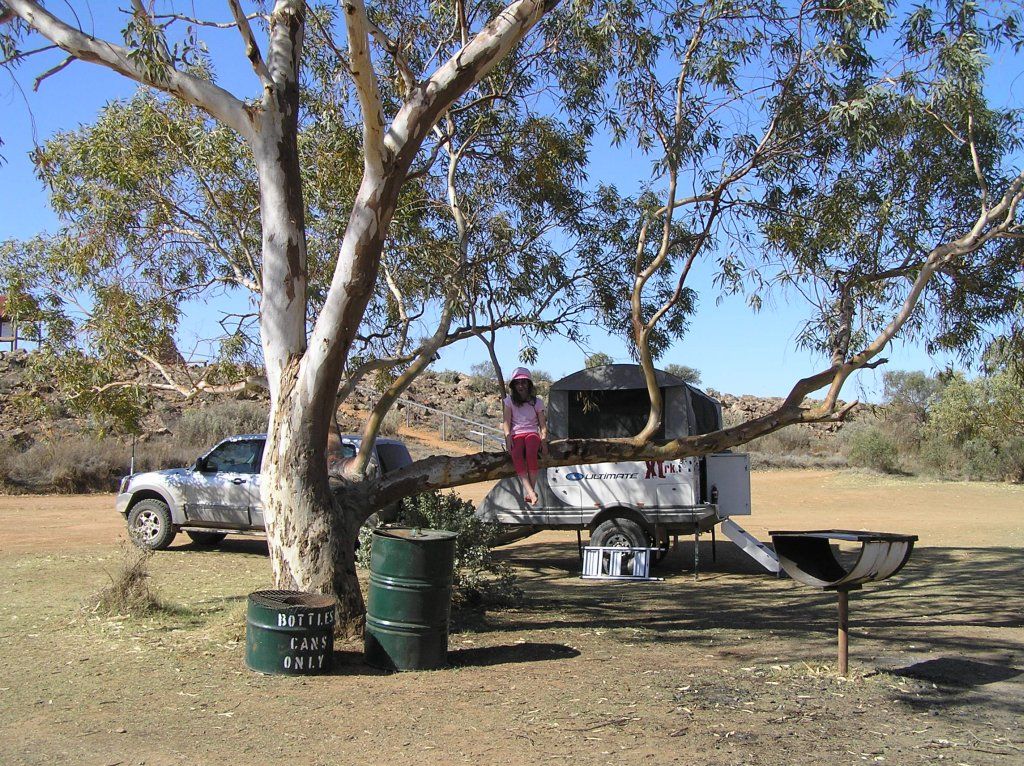
We then camped at Farina Station. The ruins alone of the old Farina township make this stop a must in my opinion. Some Highlights of Farina:

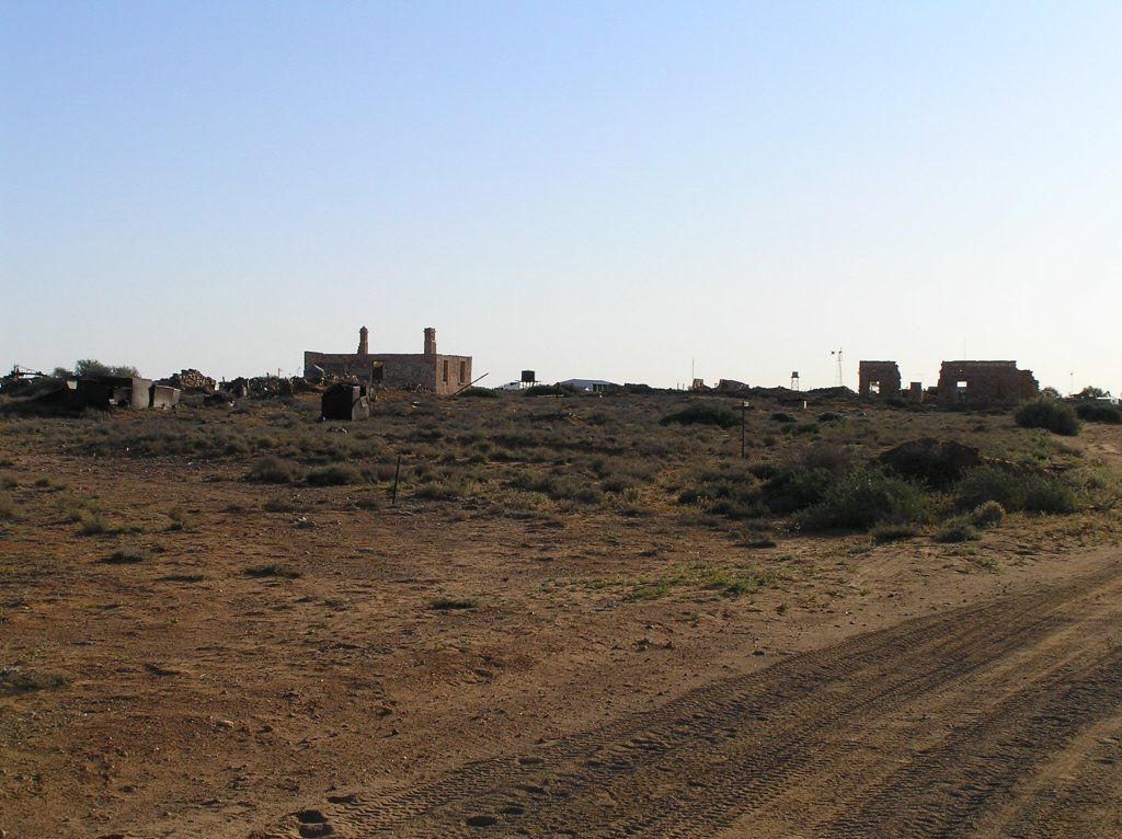
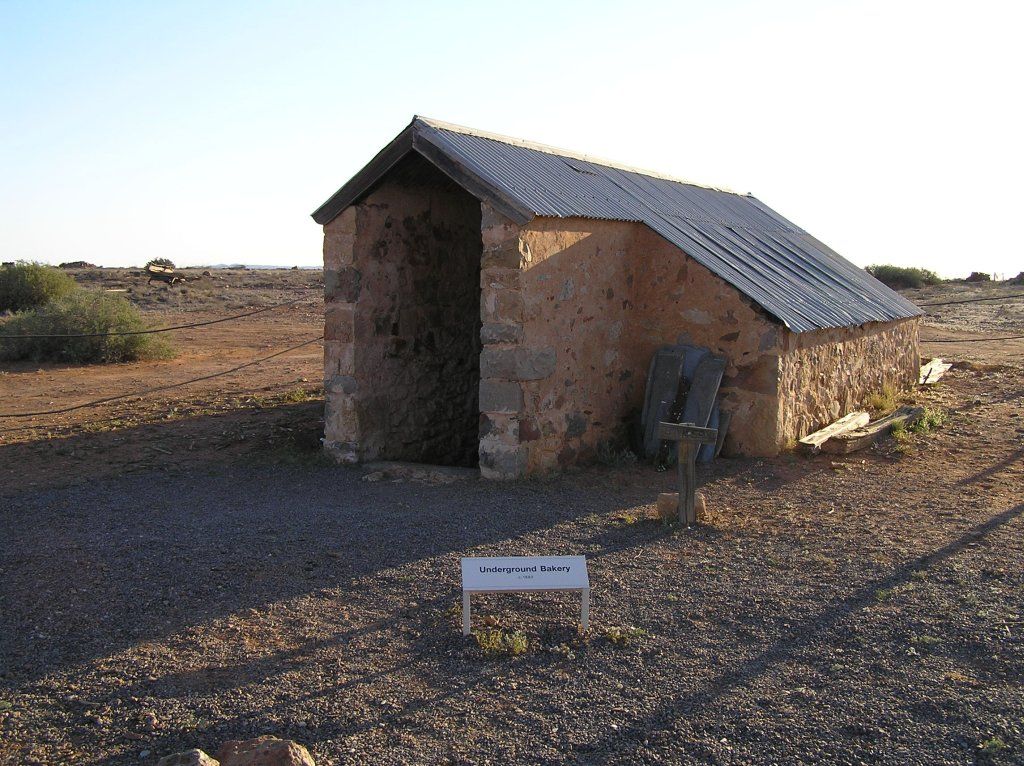
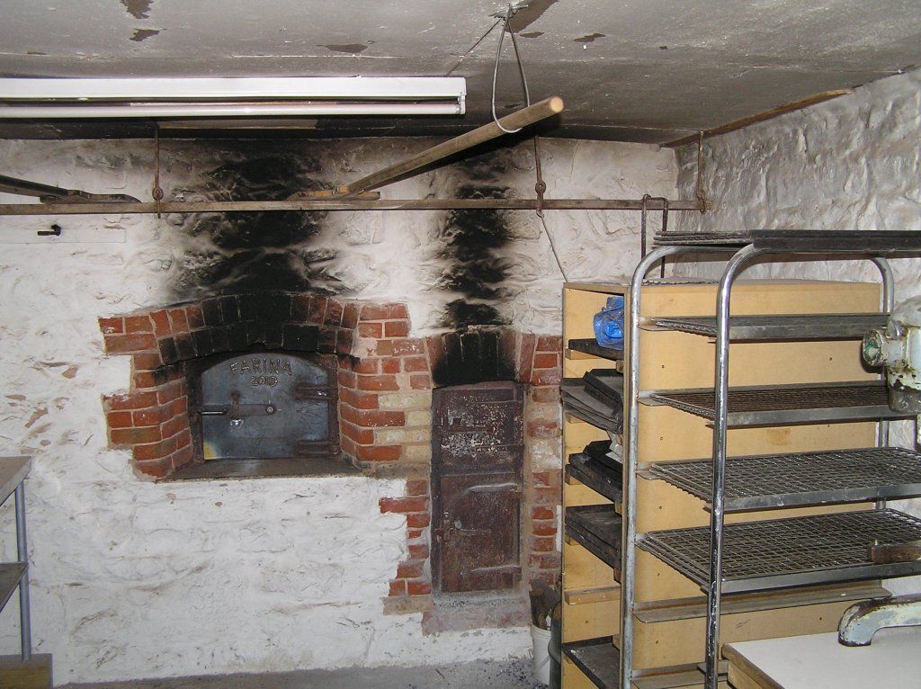
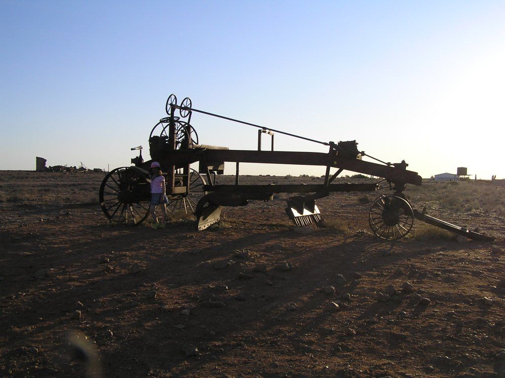
Farina, like Beltana, and no doubt countless other places were bustling rail towns. Once the rail went, unfortunately so did the towns.A bit sad really. "Some say that that's progress"
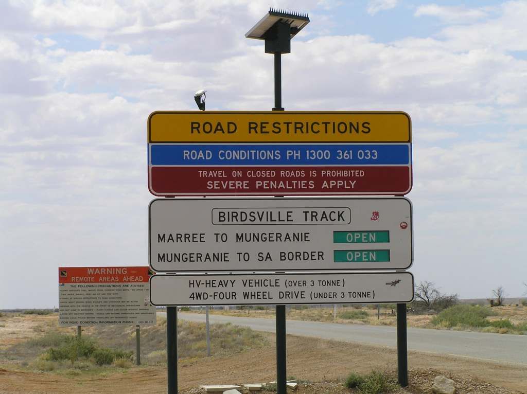
The next day we headed up to Marree. Apart from a few relics, there wasn't much here at all (except the start of the Bridsville track, and flies)
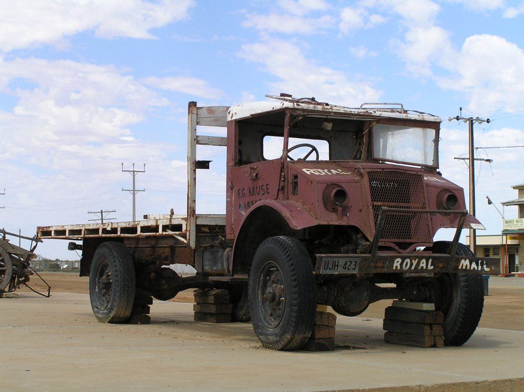
The Old Mail truck, seen in plenty of doco's and films
.
http://en.wikipedia.org/wiki/Tom_Kruse_%28mailman%29
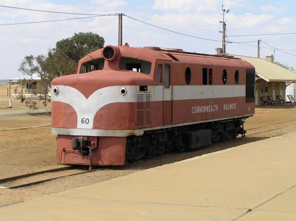
The old Ghan (I just cant seem to get away from rail)
Then its up the track for the hot pool at Mungaranie
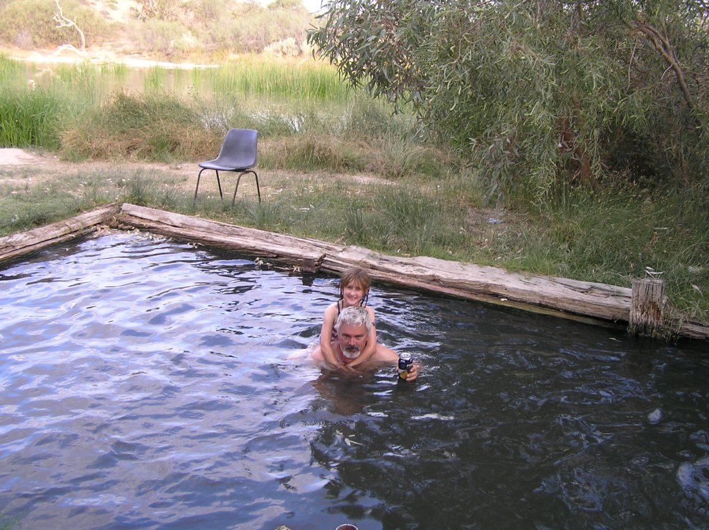
I didn't mind a beer in the hot pool at Mungaranie.
The following morning we make our way to Birdsville. Did I mention the dust.....
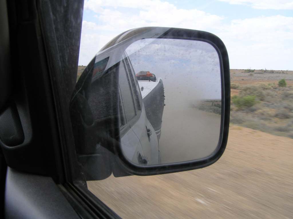
Along the way, we all spun out when we saw this come along
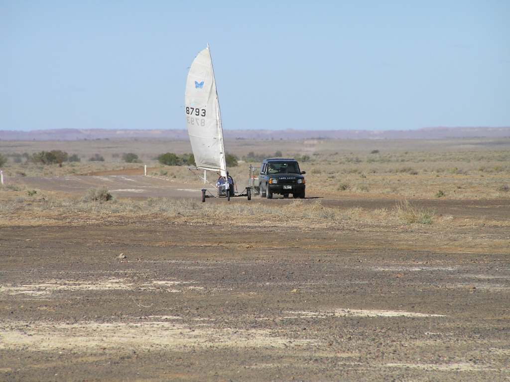
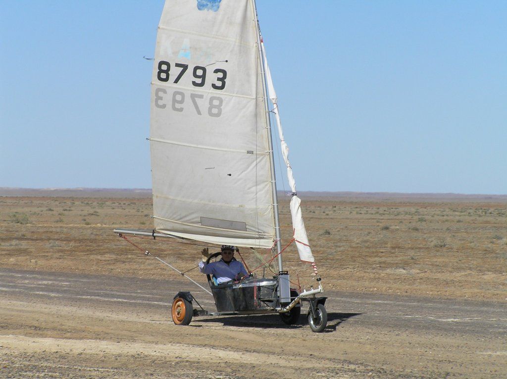
He was making the journey from Marree to Birdsville. What a champ. I hope he didn’t choose the inside track like we did.
The track was in remarkable condition, no doubt due to the races the week beforehand.
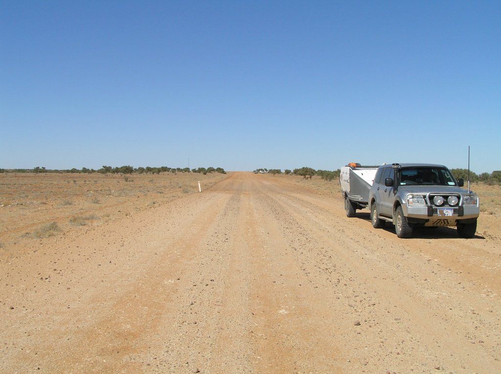
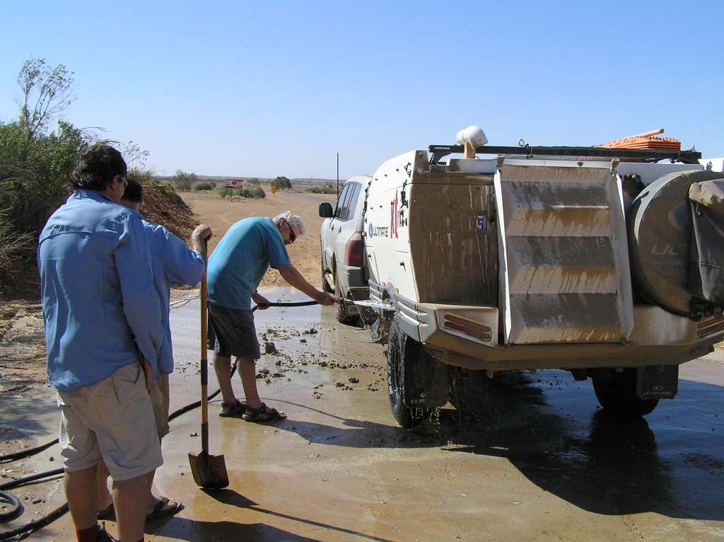
That is until we turned off onto the inside Birdsville track.Unfortunately the inside Birdsville track had a decent thunderstorm come through the night before we made our way. Ironically, no rain had fallen here over the last 7 months. Just our luck. 50 odd Km’s of thick oooooozy mud and ankle deep puddles, one of which was measured by Waynes group as being 6km in length. The ulti has a dump and destroys a stone stomper due to the weight of the mud. Both Wayne and Steve had inner splash guards torn out due to the mud's weight.
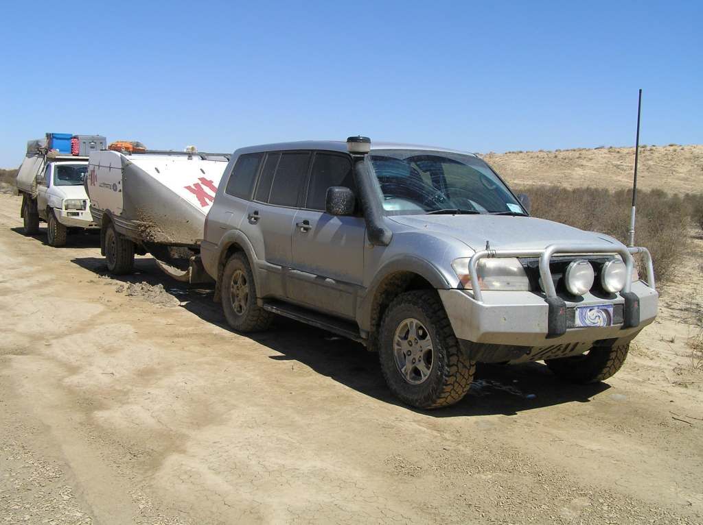
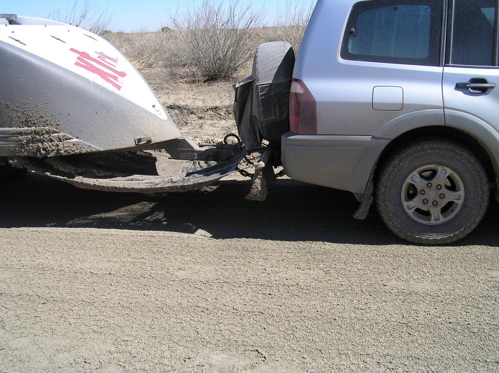
Once out of the channel country around Warburton Creek, the mud eased and we got into dune country. Then the next saga developed. Puddles......lots of them and over long stretches. 2nd gear, 2500 revs and praying the bottom was firm enough to get some traction. We had limited steering ability and were relying on the submerged ruts to lead us in the right direction. The strong wind blew the wave over the bonnet and roof. Visibility was a challenge:

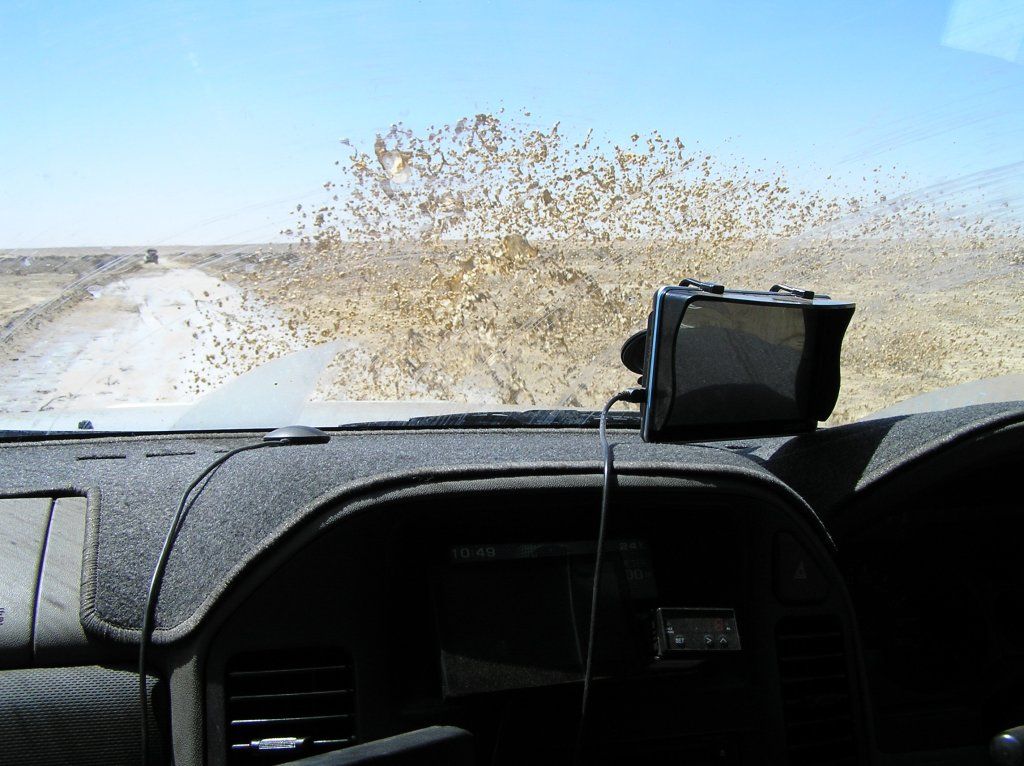
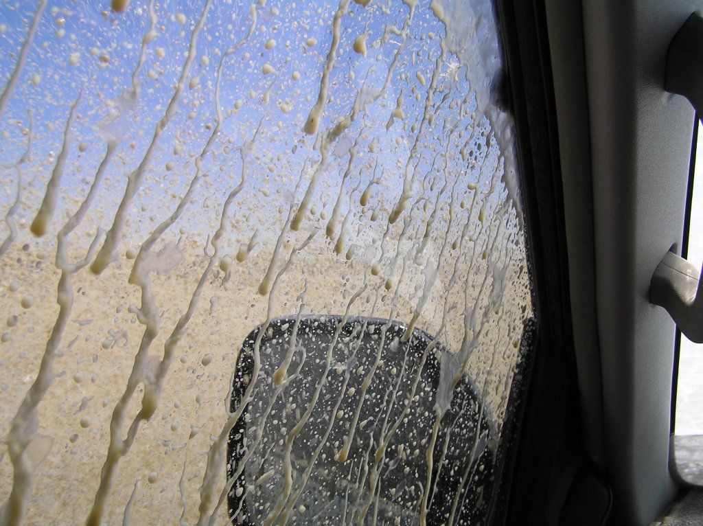
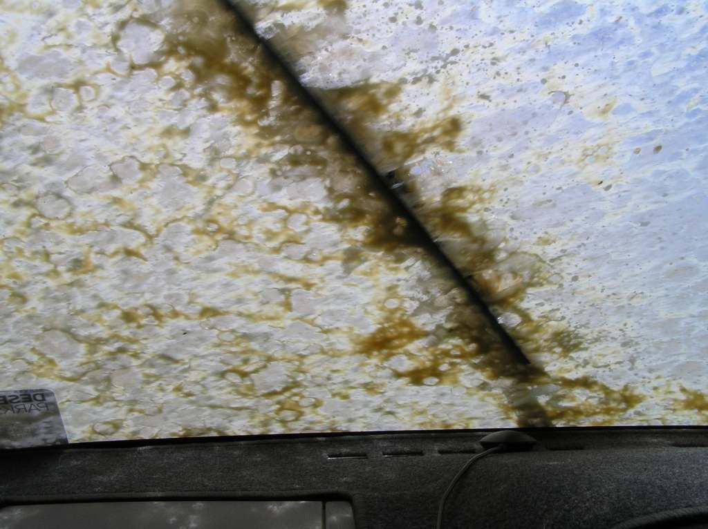
After the 50 or so Km's of this mess, we made Birdsville with a sense of relief. Although not in the same state we had left Mungaranie.
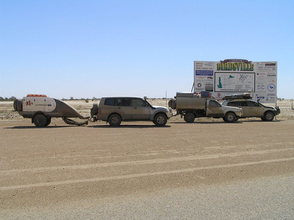
Before checking into the van park, we had to clean up to be allowed in:
That night we all enjoyed a meal at the iconic hotel. It was to be our last.
4am in the morn and we are awoken by the recovery truck at the garage. He’s got a call for a recovery 60k’s North of Poeppels Corner. Apparently an accredited tourism operator has just put 20L into his Prado......water that is....and with no drain facility in his tank, he opts for the 17Hr recovery @ $340 per hour...I’m staggered someone could mix a water jerry for a diesel one. Expensive mistake that.
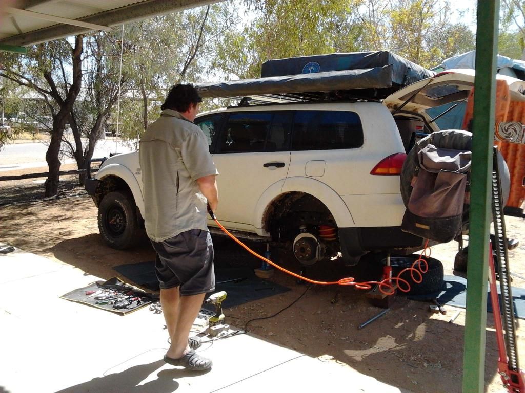
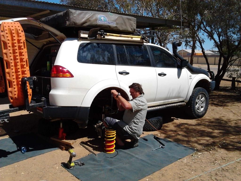
Wayne had to airfreight some airbags into town. Not long after leaving home, he came to the conclusion the heavy duty springs were not up to the task and needed some assistance. These we duly fitted in the van park while the girls went down the bakery and did whatever else they got up to.
Driving up to big red in the afternoon to watch the sunset, the others have walked up the dune. Waiting below for what seems an eternity, and not having coms with them to know what they are up to, I decide to drive up. They can see me coming. That turned out to be a big mistake. One of the group spits the dummy and starts walking the 40 Km's back to Birdsville. The others drive back to pick her up. From that point on, relations took a nosedive and the atmosphere got very uncomfortable for us.
We stayed for the sunset and returned solo. The others had holed themselves up in their cabins. The recovery truck arrived back in town about 9pm. They come out for a look, ignore us and shut the doors once again. At this stage, we didn't even know we were the problem. We were baffled.
Next morning, they eventually make contact. I ask if my driving up Big Red was the issue. The answer comes back in the positive. So I ask are we good for the desert? He doesn't know. So I tell him in stern terms - he better find out then - as we are supposedly leaving for the desert today. The hardest part of crossing the desert would be the some of the people within it. That said, one part of the convoy were a bit easier going and made it almost pleasurable.....until we pulled up for the night, camped apart, having nothing to do with each other.
For the 5 days of the crossing I just wanted it over so we could go our separate ways. We camped apart for fear of treading on eggshells. 18 months of planning down the drain because I drove up a dune whilst people were up there on foot. Go figure! A sad ending indeed.
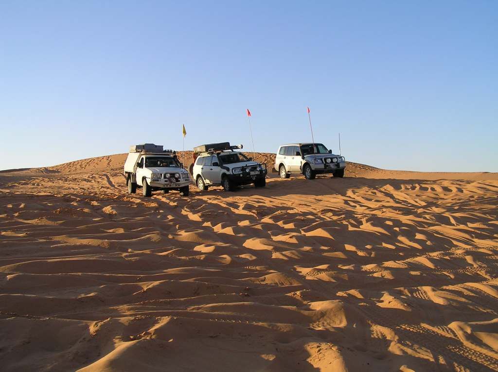
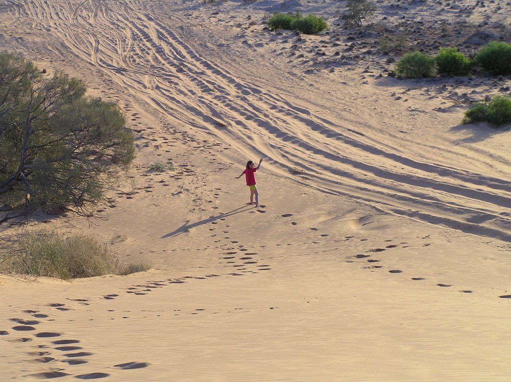
Some shots on big red:
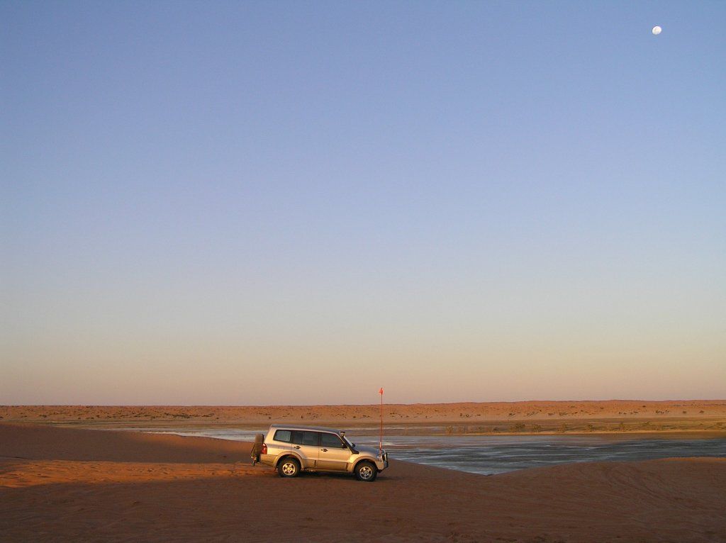
I think it was due to the bad moon arising:
September 18-
So we hit the desert. The QAA line was pretty easy even with trailer in tow. I think I went to low range just the once. We were told we were silly going East to West. If you saw how chopped up the Western slopes were compares to the East, you’d change your tune pretty quick. The Birdsville races were only a week and a bit beforehand, so that may have had something to do with it.
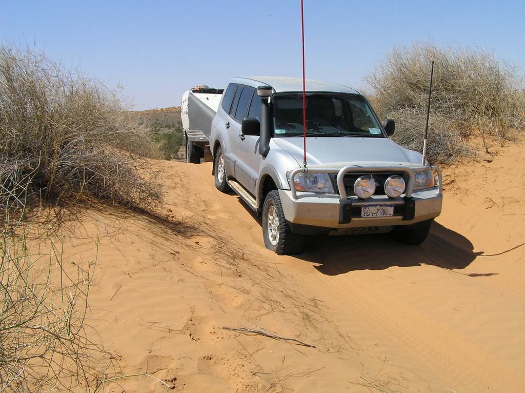
Only 1100 more to go

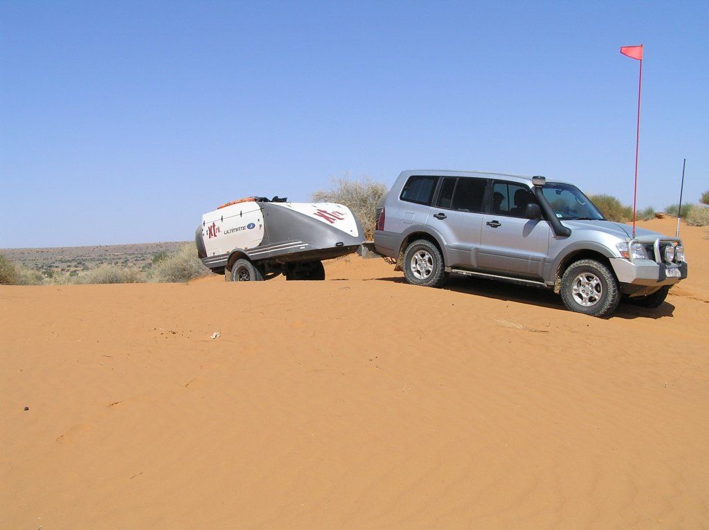
Its amazing how the sand appears to change colour. Look into the sun and its pale. Look away from the sun and its very red, like one would suspect. We made about 140Km’s from Birdsville and camped for the night. All happy in how the journey had gone thus far and the relative ease to date. Alli finds a bike riders tool bum bag, left behind some time ago. Cool, I scored some new tools as there will be no way to find their owner now.
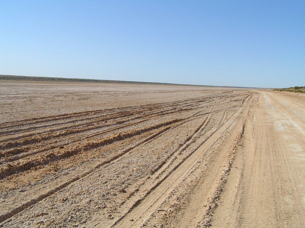
Next morn we finished the QAA and turned onto the K1 then the French line for Poeppels corner. We cant believe how easy it has been. The K1 up to the French follows the trend of a large salt lake. On the French Line, for a distance of about 30Km's from Poeppel's, in the swales of the dunes lies dry salty lakes.
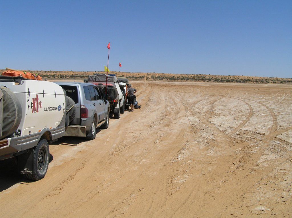
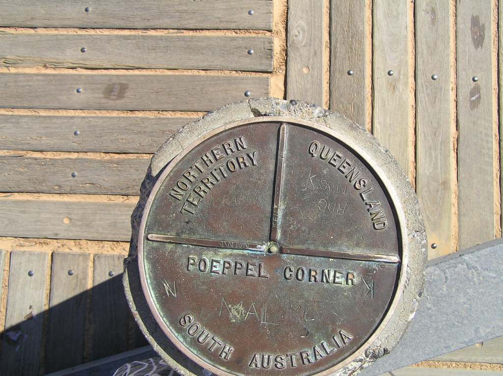
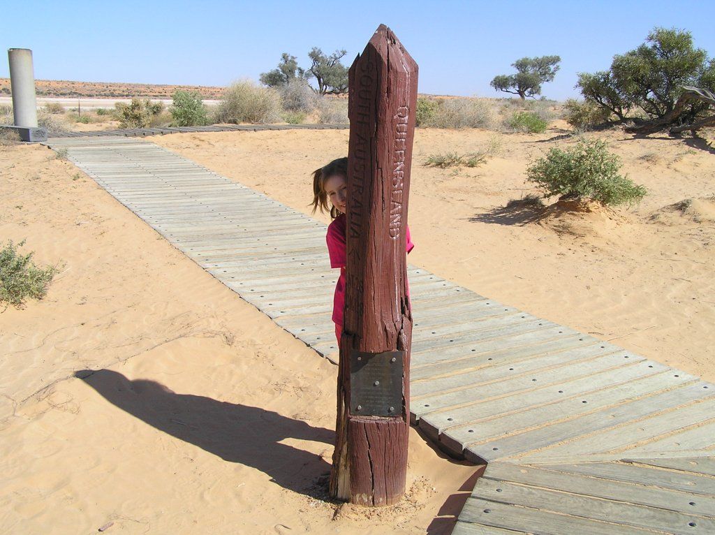
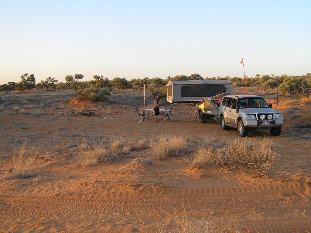
Not long after it was discovered the newly fitted airbags had deflated. We pulled up only 60K’s from last nights camp to investigate and repair. It seems the tube on both had been rubbed through and the bags deflated. Worse was the fact now one bag was also holed. All sorts of remedies were tried to mend the airbag without success. Finally Wayne and Steve came up with the idea of using a wax cord tyre plug and some gaffa tape. Well I’ll be, this did the job. That and a plywood spacer for the airline and no more airbag problems for the remainder of the crossing. By now it was late afternoon, so we stayed the night.
Next morning and more dunes and now its becoming challenging. I switched to low range and spent the remainder of the crossing in it.
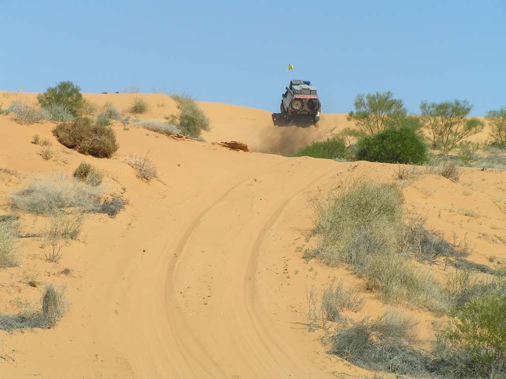
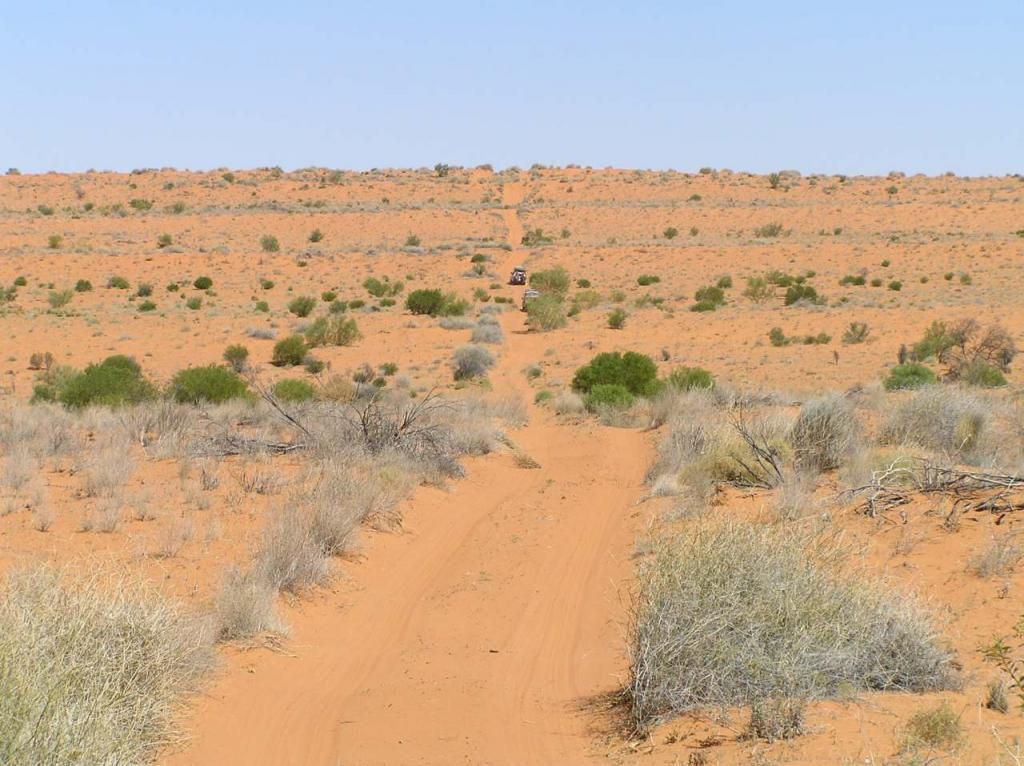
They are never ending. This is what we expected.
The going got tougher the further we went West and about 45k’s from camp I was stuck on the first dune. Liberal use of “traction aids” and momentum had me through. By now I was down to 8-10 PSI on all tyres, yet traction aids were still required.
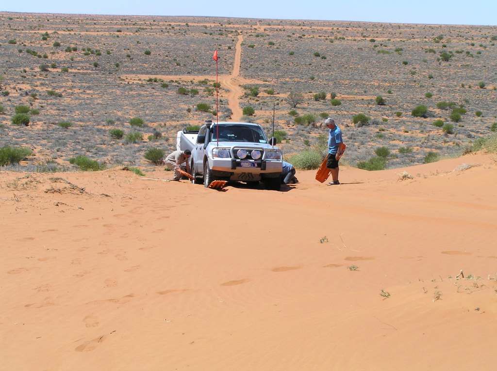
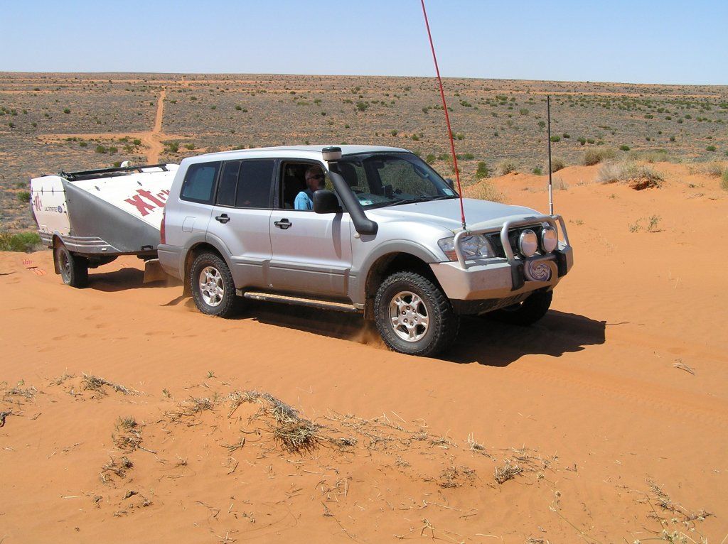
We had only made about 80Km’s for the day before camp 3. The 160km’s East of Purni bore (from the airbag camp #2) was a bit of a slog. We were only averaging 12-15Km’s/hour. I ended up not being able to ascend 3 out of the 1100 dunes without traction aids, so in all, not a bad result really.
About 30 Km's From Purni, we met 2 fellas on motorbikes heading East. First thing they said "can we buy some water". They had been traveling for a day so far. Their plan was to cross in 2 days and as such only carried a 1.5L camelbak each. They were exhausted from yesterdays 30Km stage. They still had at least 130Km of the hard stuff to get to the QAA. Under prepared and under stocked with water. We filled their bags and continued on. This: a recipe for disaster. One can only hope they meet with other traffic heading West.
All of a sudden, the dunes just disappeared. Just like the eastern end which starts with big red coming out of nowhere. So we are now out of the desert. From Purni, the road got rough and remained that way virtually all the way to Finke. Those that know me, will know if I say its rough, it is.
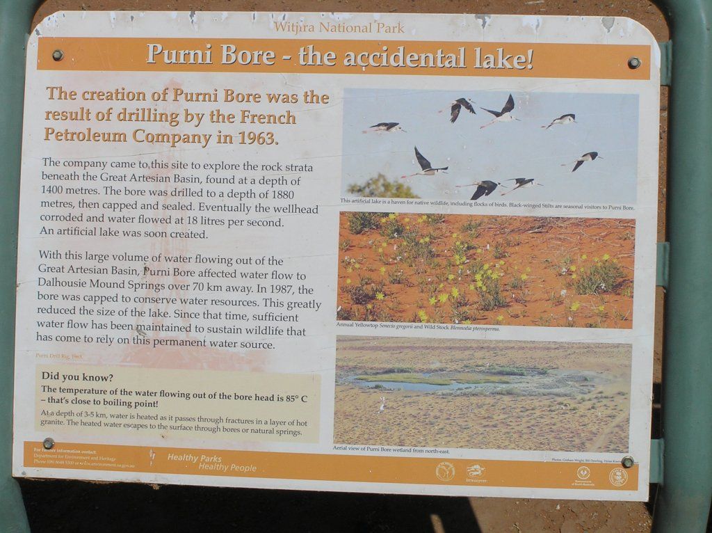
We made Mound Springs (Dalhousie) on the 4th night from Birdsville. Personally I found swimming in the bath hot water late in the afternoon unpleasant. But it washed some dust off. First thing in the morn would have been great. The bloody mossies at night bit like banshee’s. They obviously didn't carry the lignocaine type substances in their saliva like normal ones do.
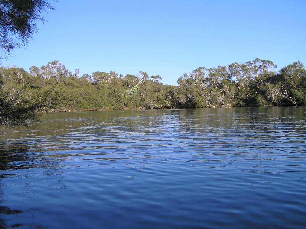
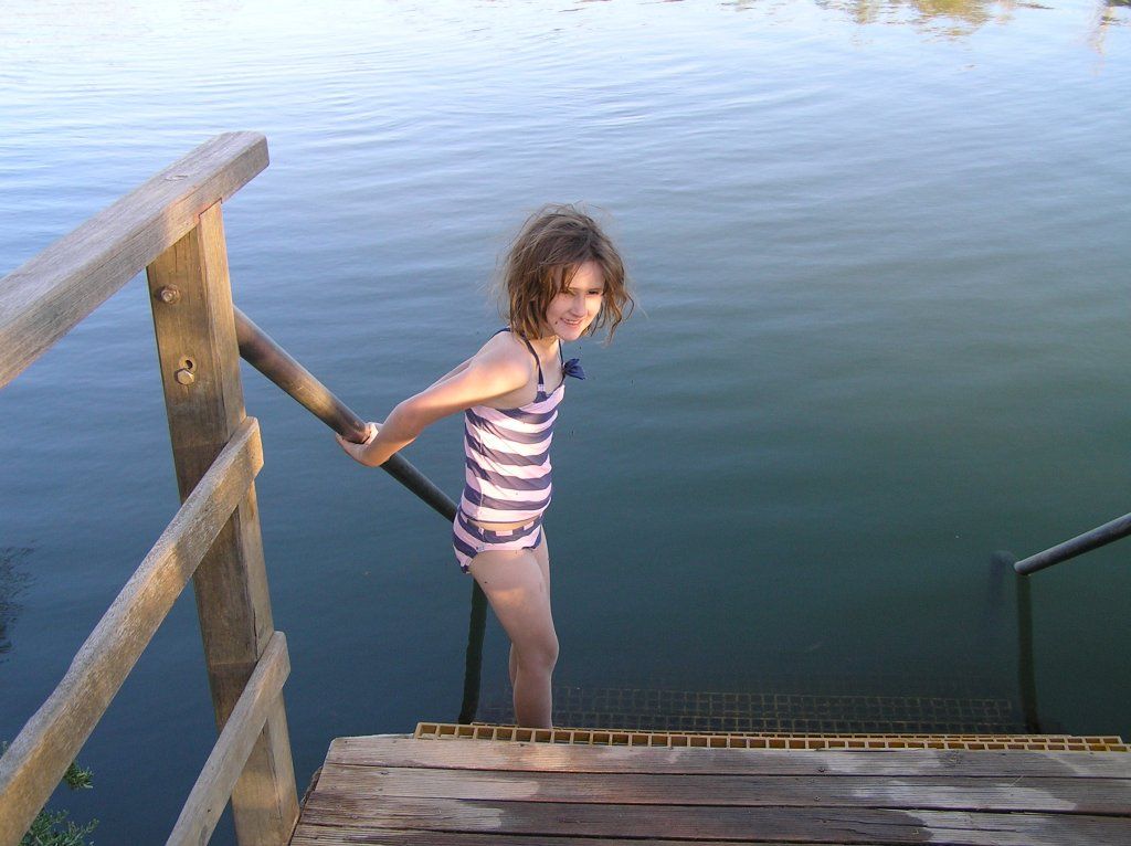
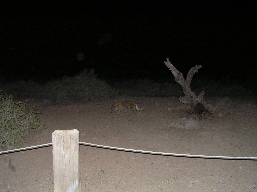
We had a very curious visitor that night. It troubled K a bit for the remainder of the trip.
Disappointingly, a group camped next to us left before we did. They had left a large cooler bag behind. Upon examination, it contained all their rubbish the useless gits couldn't be bothered to take to the rubbish dump, 4km down the road on their way out. So guess who that task was left to.
From there we made our way up some of the most horrendous road to MT Dare for a beer and lunch to wash the desert dust away. The stones may have been large, but the corrugations were shocking.
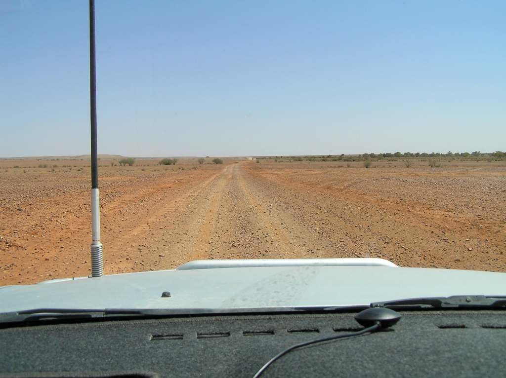
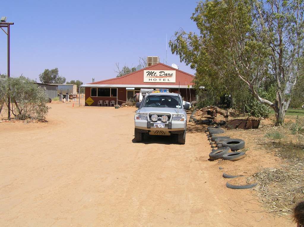
and not long afterwards, we made our third state (if you don't include poeppel's corner)
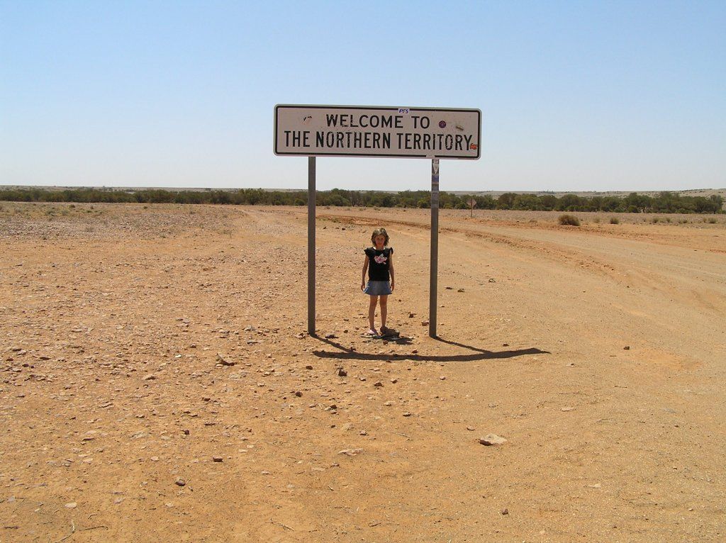
On the way to Finke, I was separated from the others due to a broken down vehicle and ½ a dozen natives sitting under a tree. I gave them water, then at their request, I spent an hour looking for uncle ‘erbet in town to let him know to come get them. Apparently, uncle ‘erbet had gone huntin goanna cause he aint ad one in a while. So I drove round and round till I found someone that actually cared and would sort it out.
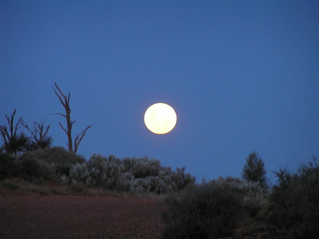
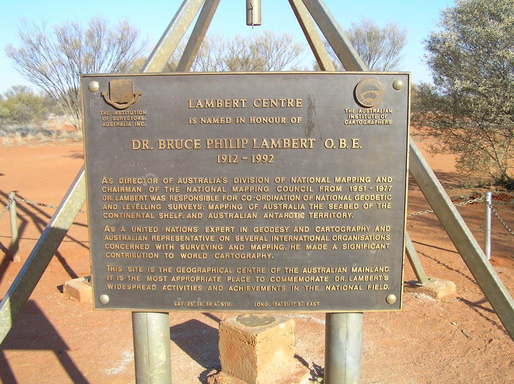
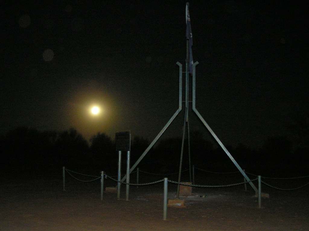
I passed the others on the way into to Lamberts. They were going to a rest area out of Finke. I stayed at Lamberts under a full moon. Unfortunately, we never camped together again. The flies here were bad, the bugs afterwards, worse.
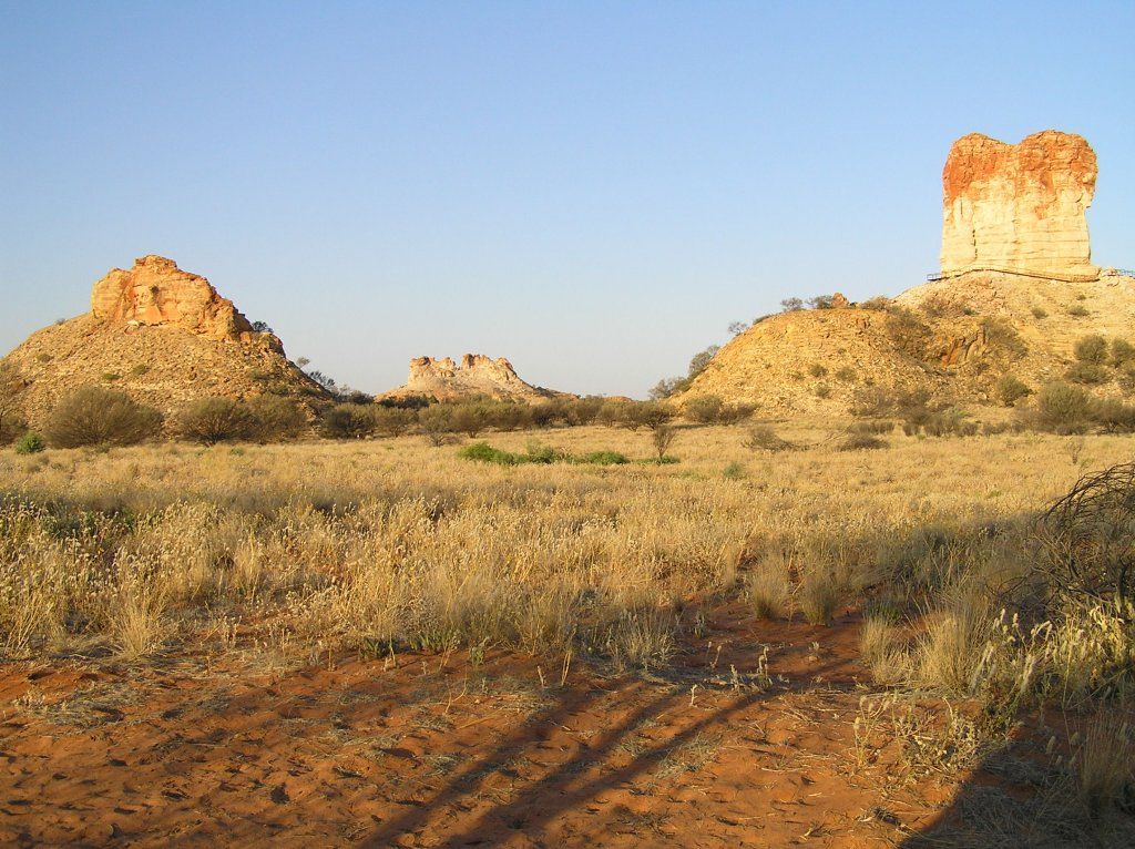
Then it was onto Chambers Pillar, where we again catch up with Giles. The pillar was his last staging point for his push through the desert to the West. It was a well known landmark for many early day explorers, as the inscribed names in the rock attest. Another rough track in, especially cresting the steep Charlotte Range. We again passed the Qld crew. They had to be in Alice that day, but we camped at the pillar to get both afternoon and morning shots. It was an amazing sight to behold. The flies were bad again, and like Lamberts, once they buggered off, the bugs were just as bad.
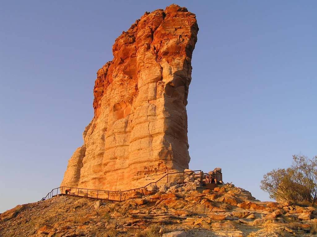

The Pillar, Castle rock and Window rock:
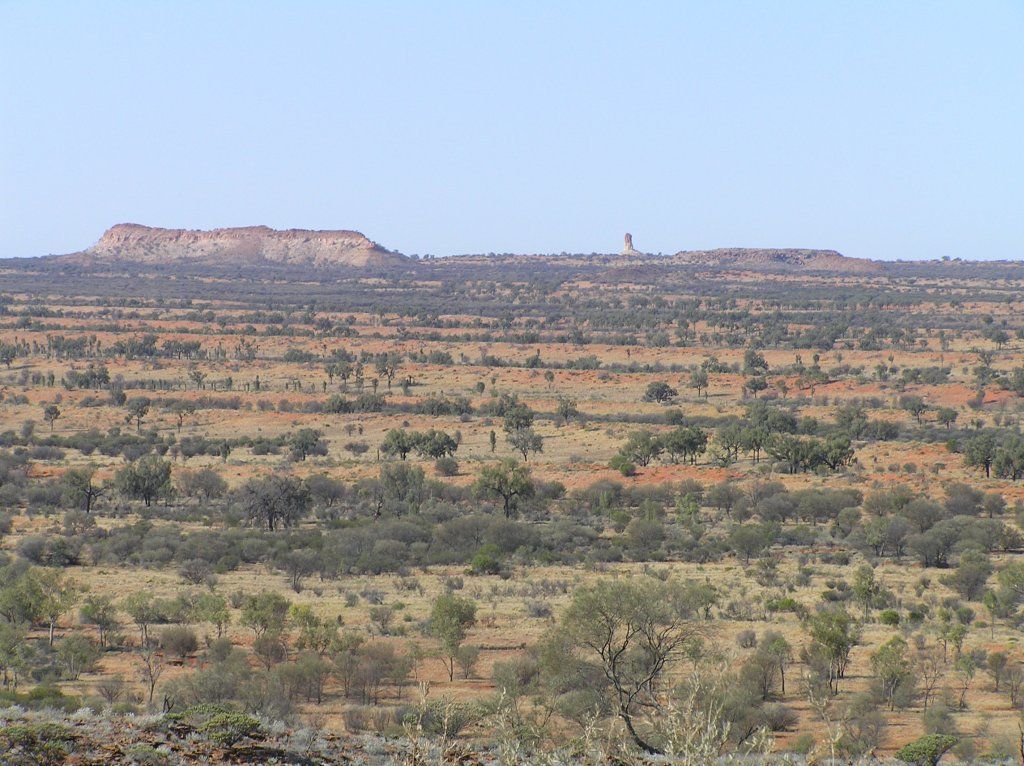
From a distance, the pillar stands out for miles, like a phalanx symbol on the plain:
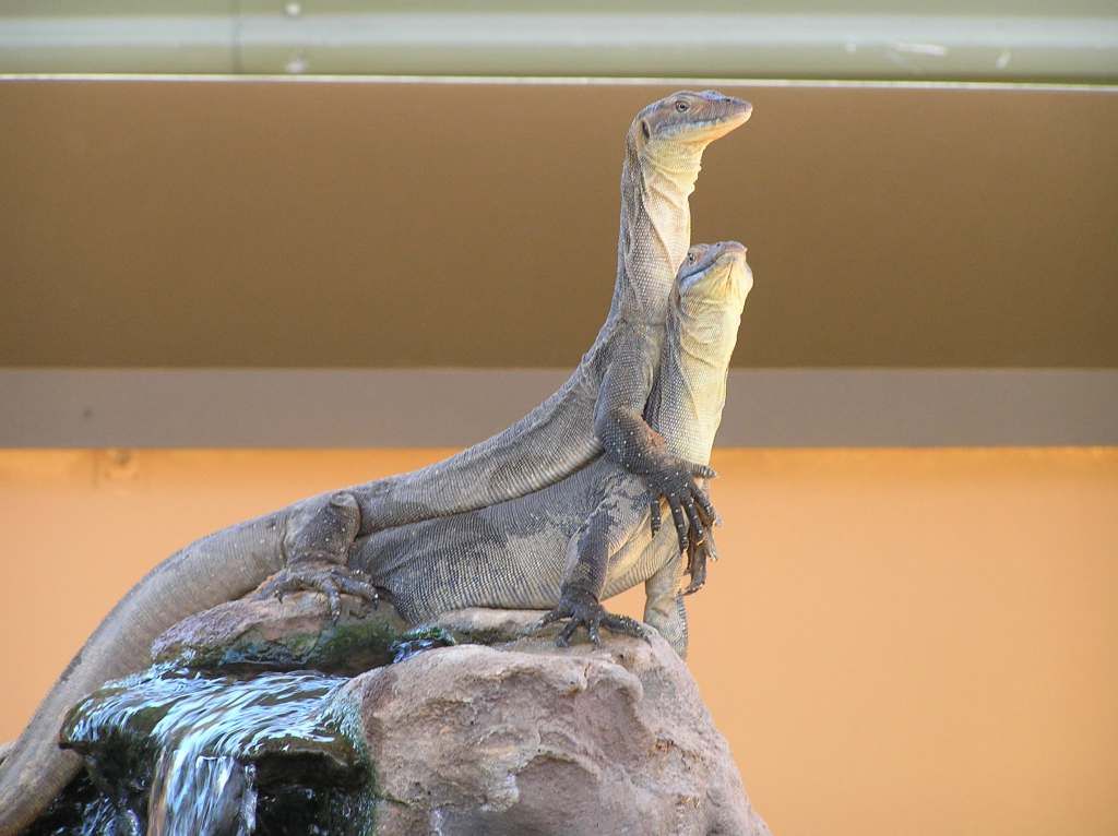
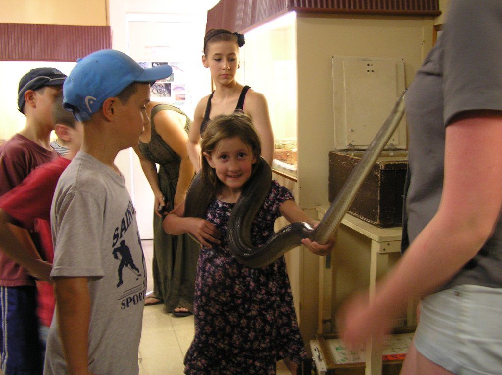
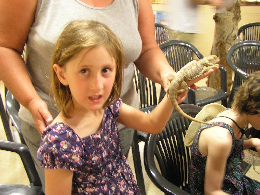
From the pillar, we made Alice where we had 3 days of respite from flies and bugs, a swimming pool, restocked supplies and did general touristy things. We arrived at a time Alice was having a heat wave. The pool in the van park got some use every afternoon. At the reptile park, we spotted some reptile porn:
K got up close and personal;
Chores done, 3 days of sightseeing and relaxing and it was time to move on following Giles’s 2nd expedition through the West MacDonnell's and onwards....at least up to Warburton where his expedition failed with the loss of Gibson.
(construction point)
September 27 -
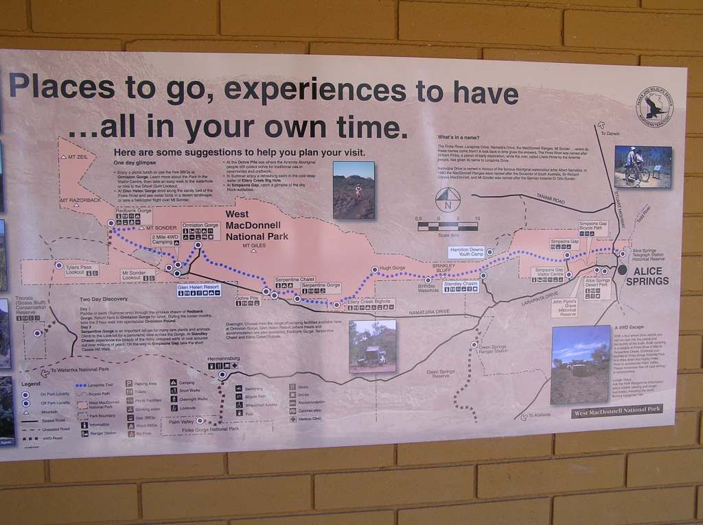
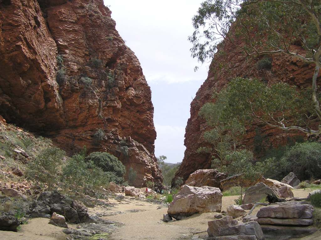
I had planned to stop a night at a spot south of Owen Springs, a place named Lawrence Gorge. But any detail I could find on this place was that it was pretty rough. I decided to check the place out on my next visit. Then the first stop became Simpson’s gap
On to Stanley Chasm. This is the only attraction where you have to pay an entrance fee. Personally, I wouldn’t bother. But I have to say it was a bit eerie when a thunderstorm came over whilst we were there, the echo was certainly different.
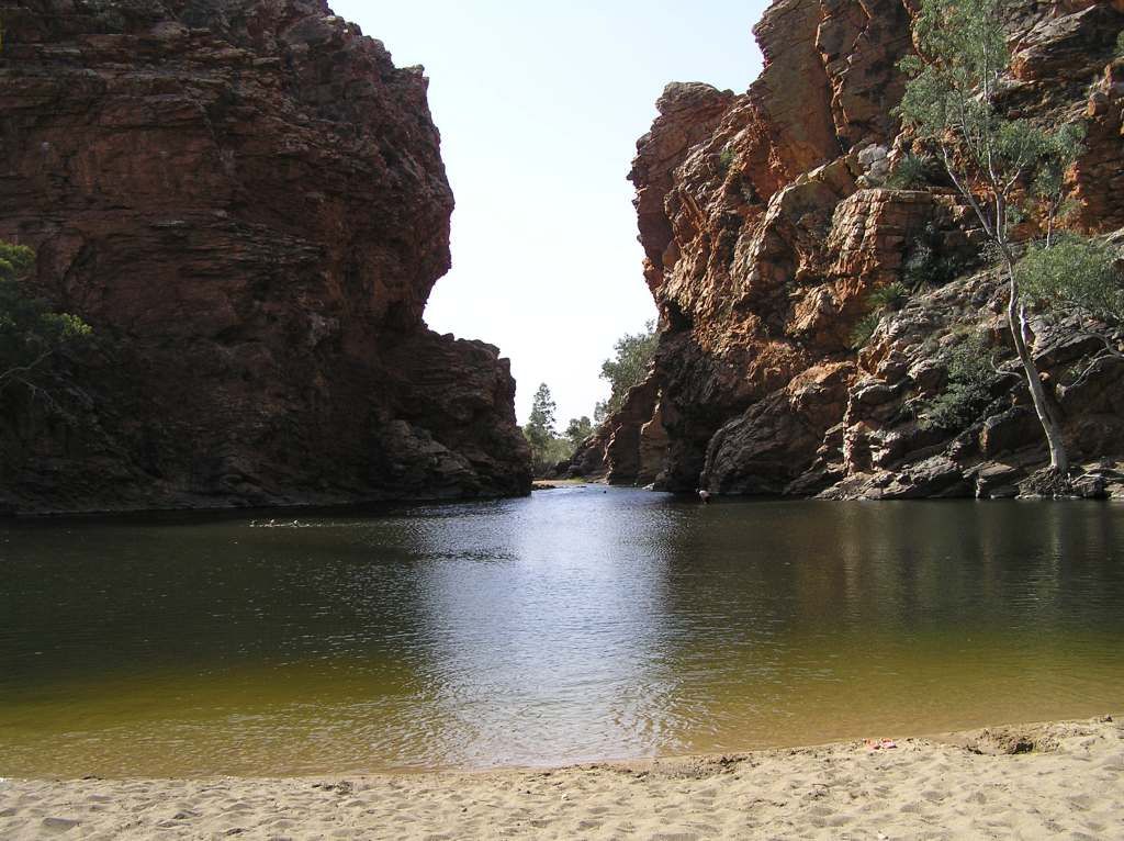
Moving onto our campsite for the night, Ellery Creek. The camp is a bit average, but the waterhole is superb...and bloody cold...or is that refreshing after the heat of the day?
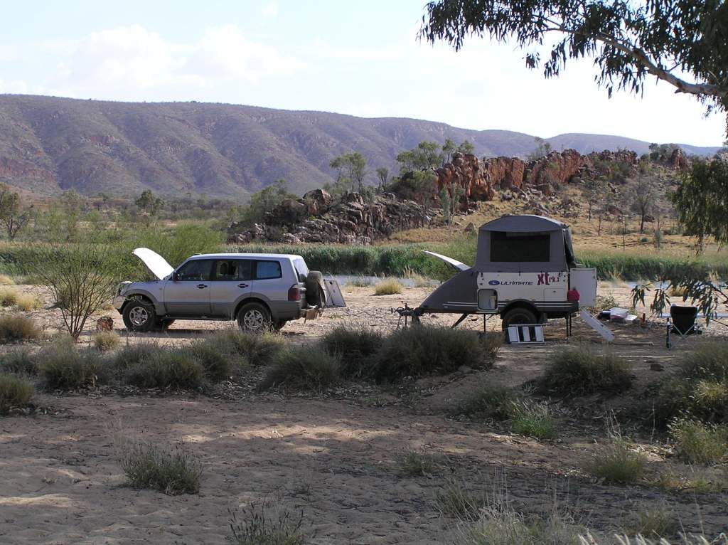
Checking out Serpentine Gorge, we Bypassed Ormiston Gorge for Glen Helen. I found a superb spot on the Finke a couple of K’s out. A large shady rivergum, no camp fees with pelican’s and black swans on the river....go figure. In fact I liked the spot so much, we stayed 2 nights.
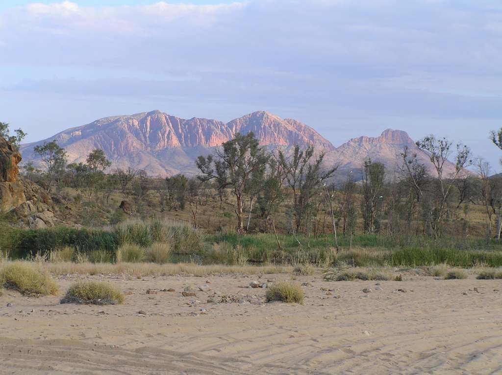
The view of Mt Sonder from camp was just superb
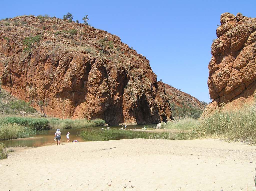
We had a swim at Glen Helen after we were set. The gorge was a bit of a pain to access due to the rocks and the reeds brushing up against you whilst swimming I found a bit daunting.
The second day we supported the local resort at Glen Helen by buying lunch. We back tracked afterwards to Ormiston for a swim. This was a much nicer place for cooling off. We finished off back to the Finke camp for afternoon drinks and dinner.
Redbank Gorge was going to be a camp, but not after we spent 2 days on the Finke. The gorge itself was pitiful in comparison and a lot of clambering over rocks to get there. It didn’t seem worthy the effort in my opinion.
Further on, Gosses Bluff stands out above the table lands

It was then we headed to Palm valley. The plan was to hit the valley and move onto Boggy Hole for the camp. But the campground was quite nice here, it was hot and late afternoon. We decided to leave Boggy hole for another time. That said, everyone I talked to raved about Palm Valley. Personally, whilst it was nice, I could have passed on it. I think, like in the Kimberleys, I was starting to get all gorged out.
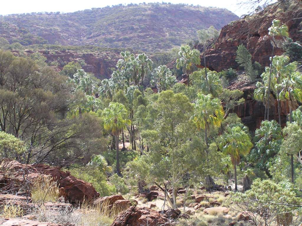
From Palm valley we made our way to Kings canyon. Again, I think the gorge factor was in play. But what surprised me the most was the conglomerate beehives, very similar to the bungles at the top of the gorge, but on a smaller scale.
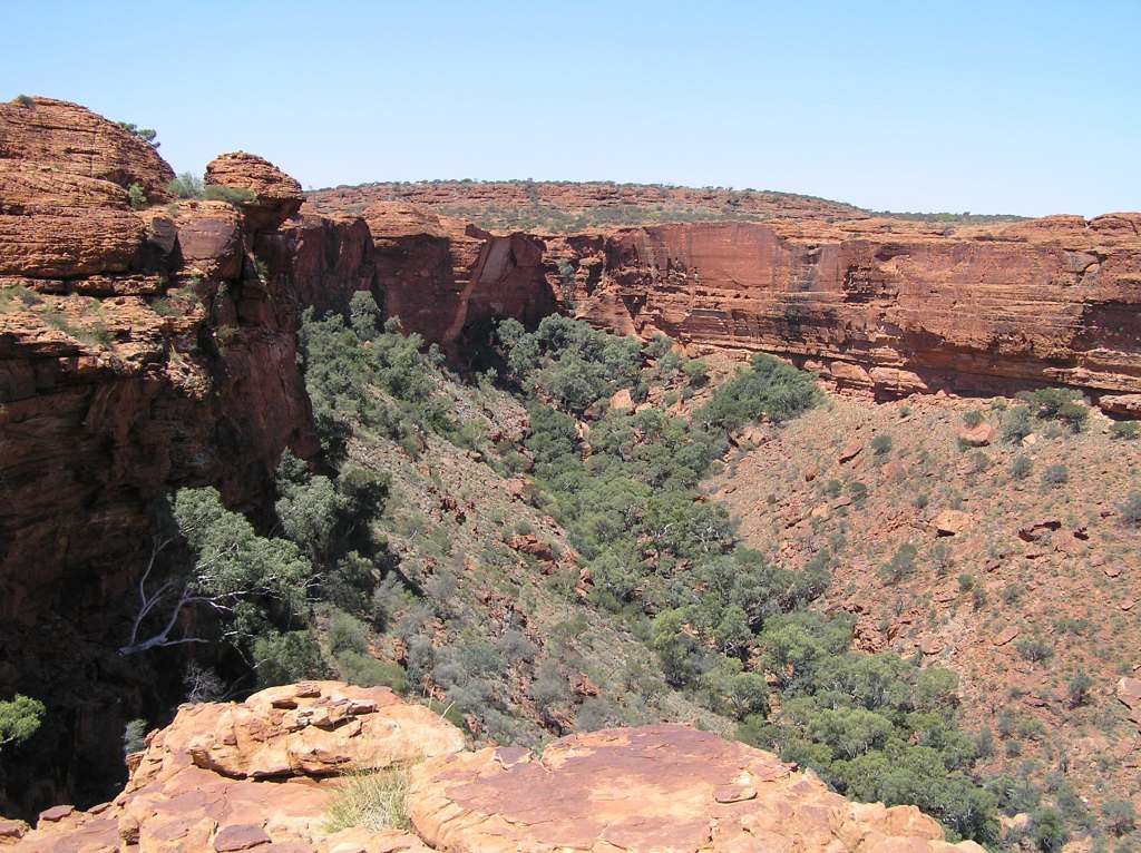

The 5 Km rim top walk was a chore for the 6 year old daughter. I also spotted this I the carpark.....no crap, it had nothing more than scooter wheels on it

The rimtop walk took more time than I had allowed, so we had to bypass Kathleen Springs. I’m leaving all these bits for next time. From there we went to Curtin Springs and grabbed another shot of Mt Conner. I so wish to get to its base, but they only run commercial tours out there now and I don’t want to see it $500 worth (an 8 hour tour with dinner for the family). Whilst it probably represents reasonable value for money, I'm sure I could put the $500 to better use.
[
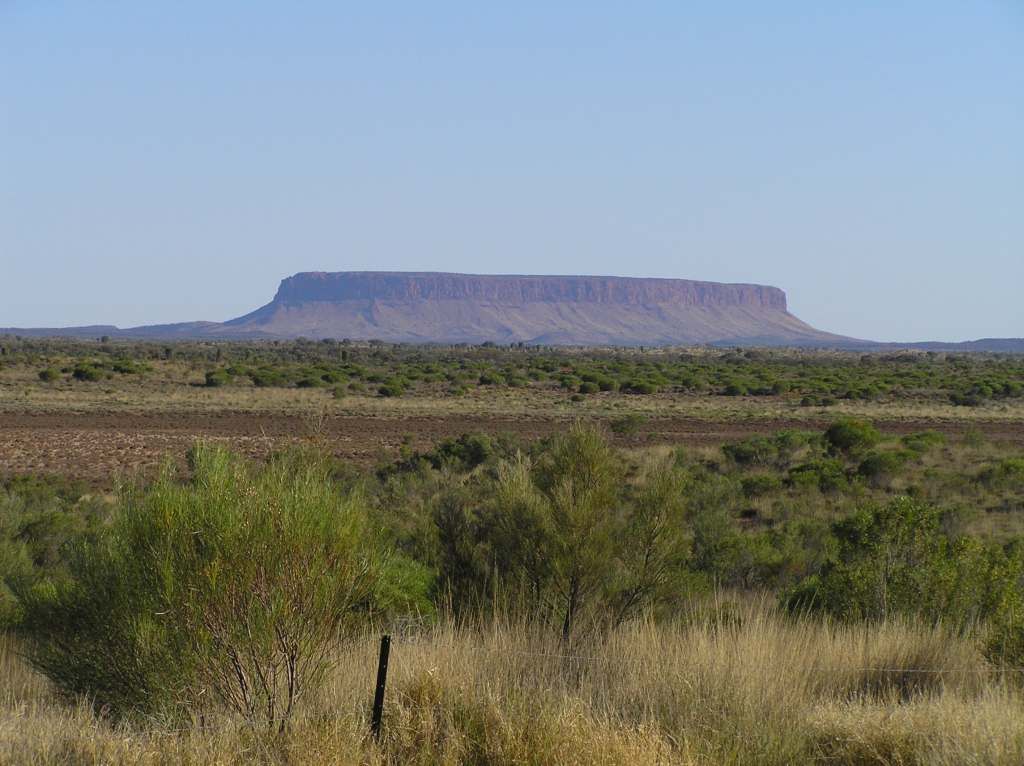
The next day was a short hop to Yulara, the plan being to do the rock climb for my daughters 7Th birthday the following day.
We are given our site and its quite large, but not a lot of shade at all and certainly not level. A few rocks and bricks were required to keep the ulti in place and max extention of the jockey wheel to find some semblance of fore/aft level. But I was shocked. I expected a “remote” tourist resort like Yulara to be way over priced, however pricing on most things were reasonable. An afternoon dip in the pool was cut short when a large school group descended and spoilt the mood, but the girl had fun. Then we went out to the sunset viewing area to finds half the population of the NT had the same idea.
The next day was K’s 7th Birthday. She was shocked to find she had presents. We had been telling her since we left we had none as we couldn’t fit them in. Sometimes you have to be cruel to be kind. However, the wind was blowing already and once out at the rock we knew a climb for her birthday was not going to happen. So we walked around its circumference, all 11.5 Km’s of it. Keeping the girl motivated after half way was a chore in the hot sun. But kudos to her, she did it in the end (after many dangled carrots and horsewhipping that is).
An interesting feature was worthy a photo. To me, it reminded me of a profile of an old indigenous male with chignon and goatee.
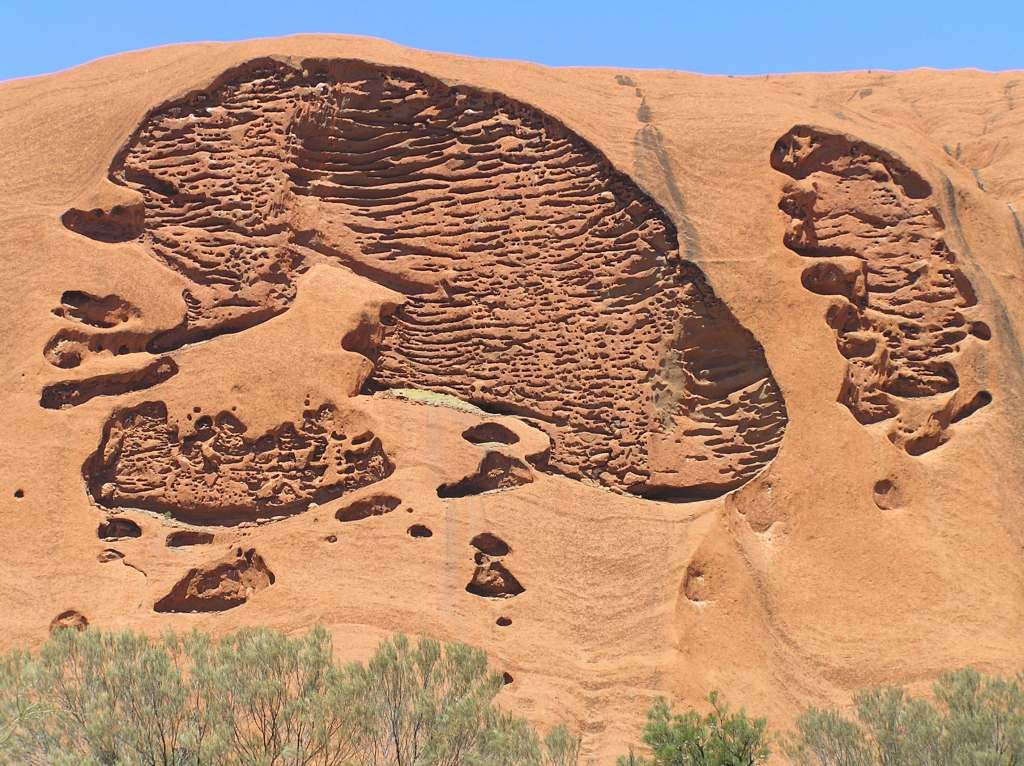
Reasonably weary after the days hike, we had dinner at the local hotel. Nuggets and chips for the birthday girl and garlic prawn and chicken pizza for us, With a pint of course. Next day and we head out to Mt Olga. The girls were still a bit weary from the day before so they only did the first K or so. I went on to a look out another 1.6K’s further on. Afterwards we had some lunch again, amongst all the flies. I think I am starting to get fond of these sultana sandwiches I am inadvertently eating.
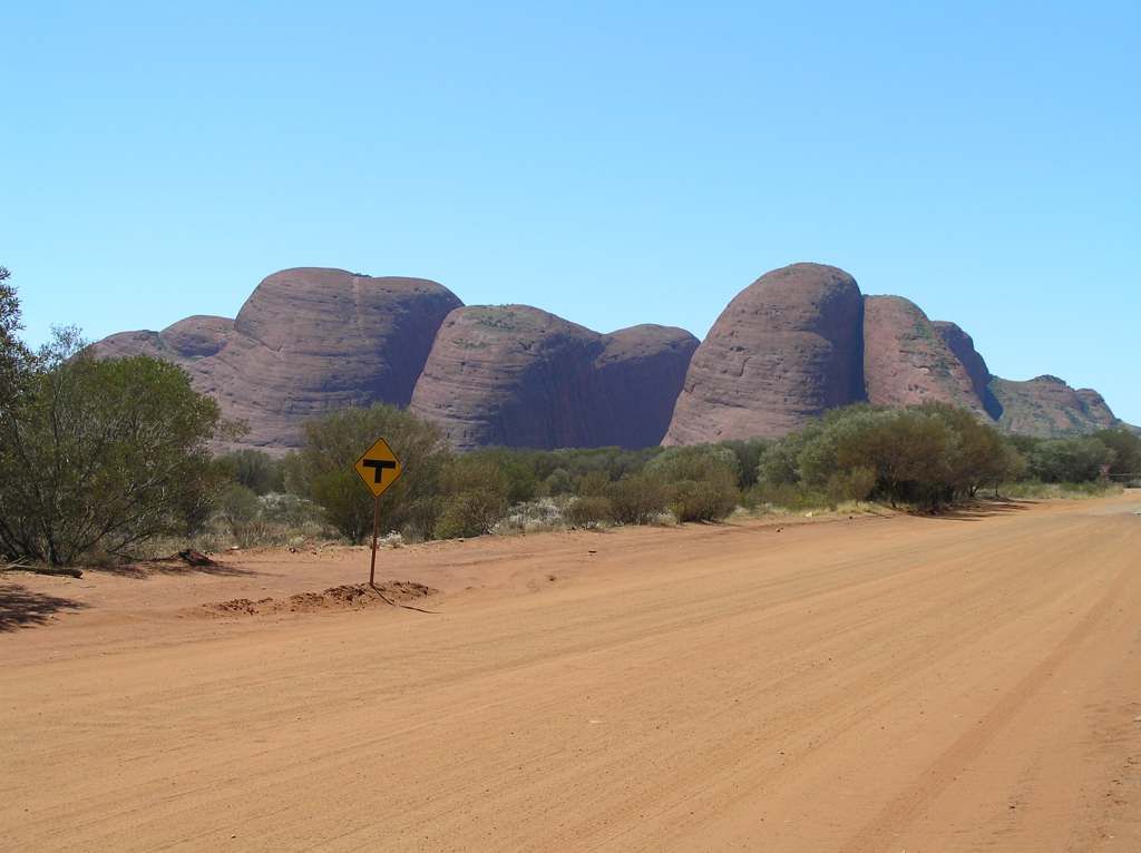
And the waning motivation of some to proceed captured on film:

I have to say I enjoyed Mt Olga much more than the rock. Not that the rock isn’t in itself impressive, but I feel Mt Olga is more so in my opinion. Mt Olga is different from the rock in that it’s conglomerate as opposed to the rock being a homogenous piece of sandstone. The size of the conglomerate particles of Mt Olga are the largest pieces I’ve ever seen. And unfortunately we are given very little access to Mt Olga.
From what Giles describes, there are further treasures to be found, but access to this these days will not happen.
We left Yulara after the 3 days and did the Gorge walk at Mt Olga on the way out to the Great Central road. I have to say, The Eastern section of the GCR is one of my favoutite spots. I so much want to explore the Peterman's, the Musgrave's, Schwerin Mural Cresent and the Rawlinson ranges after reading Giles descriptions of the places. Maybe I need to contact the land council and see what hope there is of gaining access to these places of indigenous cultural significance and early pioneering history.
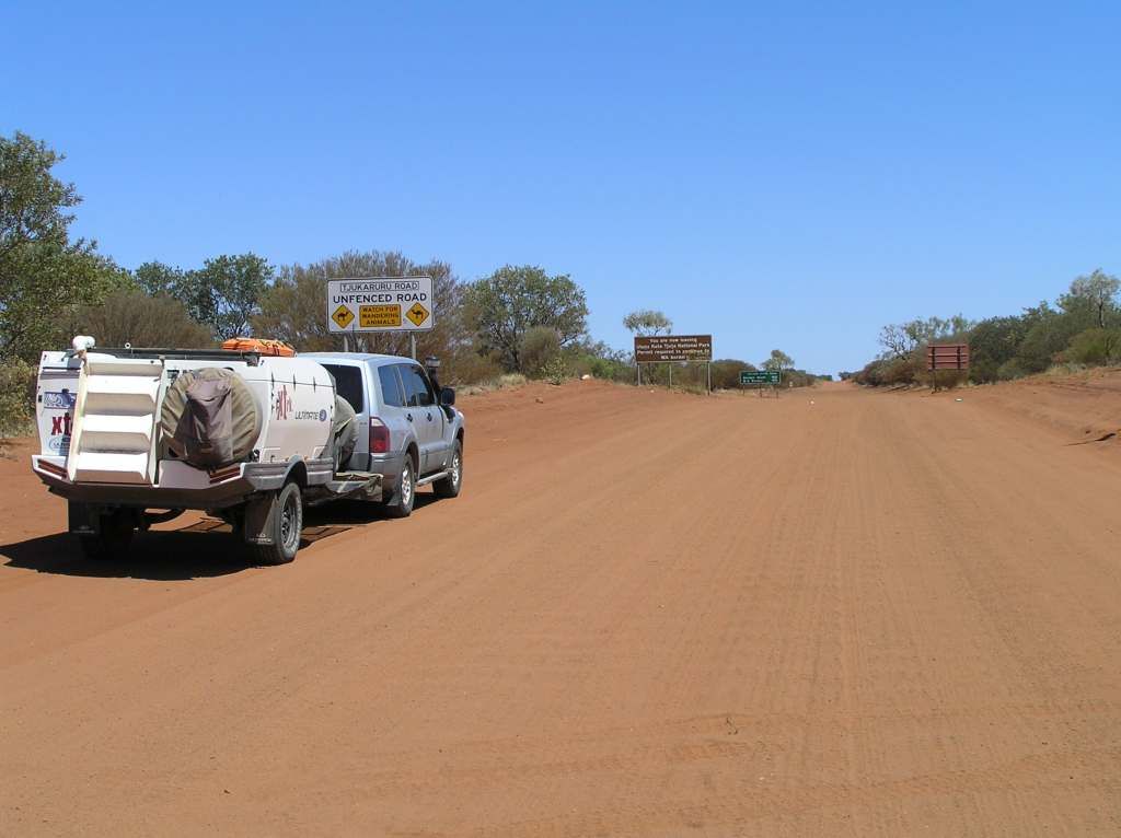
I had spoken to a few people in regards to the condition of the GCR. Most said it was ok but rough in a few places. I found the road to be the best I’d ever travelled it. 100Km/h + most of the way, even the notorious NT side. Climbing the hill above Lassiter’s cave I grabbed a shot of the Peterman’s in the distance.
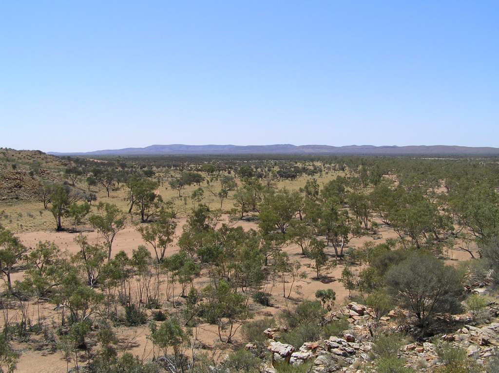
The aim for today is to camp at Gill’s pinnacle. I find the track in and proceed to find a camp spot with 30M of the road verge as per the permit conditions. But there is none. Worse is that there is nowhere to turn around. I spy the signs of “smokes” near the base of the Cresent and immediately get visions of uncle ‘erbet cooking his goanna on the coals. This troubles me greatly. I proceed down the track looking for a turnaround point, but I find none suitable. Eventually, I decide to leave the vehicle (with the girls) and venture further on foot seeking a turn around point. All the while thinking I’m going to meet uncle ‘erbet with club in one hand and spear in the other. It is hot and I didn’t think I would be long, so I didn’t take water. I am in awe of the pinnacle in the setting sun and keep progressing until I reach the only suitable campsite, that being at Gordon springs. It must have been a good couple of K’s hike to here. I disturb 2 dingoes in separate places seeking shelter from the blazing sun on the hike in. I so much wanted to explore these springs (owing to Giles’s account of them) but the “smokes” and cultural sensitivities tell me to get outa there. I eventually return to the vehicle, drink a gallon of water, then make do with turning around in the scrubs a couple of hundred meters to the rear of the vehicle.
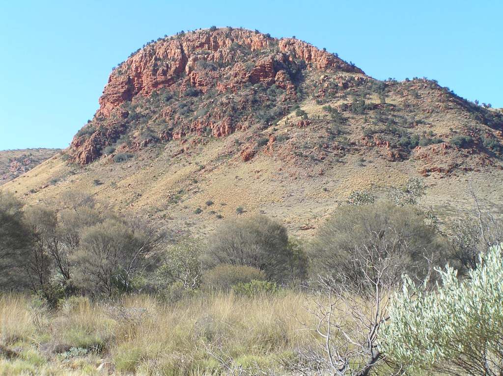
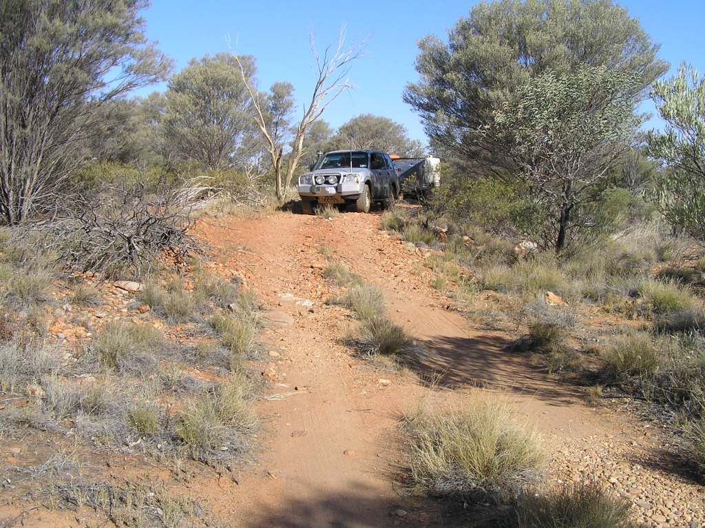
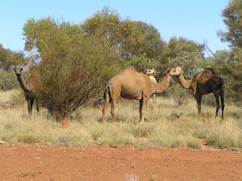
So change of plans and it’s off to my old “bush camp 2”. Interestingly, in the 2 years since I have been there, there is little change. The only change I can see is a car has been wrecked and burnt in the scrubs since my last visit. The flies were bad, but the minute little bugs after sundown were unbearable. I spent dinner (most probably eating), shooing and flicking the little buggers away which had a habit of running getting in your face (and plate) down your neck and getting inside your shirt. I was glad to go to bed that night. Into Warakurna for fuel in the morn and keep pushing West. Today I picked up quite a few of “the outback way” caches and still left some for another time. I mentioned that we hadn’t seen any camels this time. And without a lie, within 5 minutes of making the statement, I was corrected.
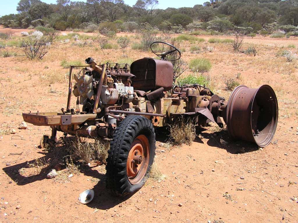
I grazed my arm badly trying to get down a rock I had just climbed in search of another treasure. An official campsite is adjacent which I named “tractor camp”. I am again reminded of the fate of Gibson in which the desert is so named and "tractor Camp" is located.
We luncheon at Warburton and bid farewell to Giles 2nd expedition. We will pick up on his 4th in the goldfields. My maps state Tjukayirla is open to 6pm on a Sunday. We push on for fuel and I make a call to leave any more caches for the day. We arrive here at about 4.30pm and find it closes at 3...Bugger. Oh well off to the next camp, Empress Spring. I will now have to make a 150Km venture up to this camp and back to Tjukayirla for fuel in the morn.
A new camp, a new explorer. This time David Carnegie, after which the road in is named after.
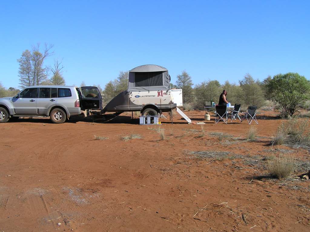
Slowly, but surely, the 6 weeks is coming to an end. Next day we will be in Laverton.... too close to home and work IMO.
The Carnegie road up to Empress was in great condition. It’s a 60K trek from the GCR. After Breadon Bluff (which I passed on this time around) some soft sections of sand appeared, but all in all pretty good. I sat on 60Km/h most the way. Arriving at the spring, we found another couple had arrived about ½ hour before us. I said hello and asked if they minded if we shared the clearing (its not that big). They seemed fine, so we set up camp and made preparations for dinner as we arrived just before sunset. The next morning I had a good read of the visitors book, found a cache, then made plans to visit the springs. Its just as Carnegie describes it, being 3 holes that appear from nowhere in a small bed of limestone. But unlike Carnegie, there is now a chain ladder to descend into the cavern.
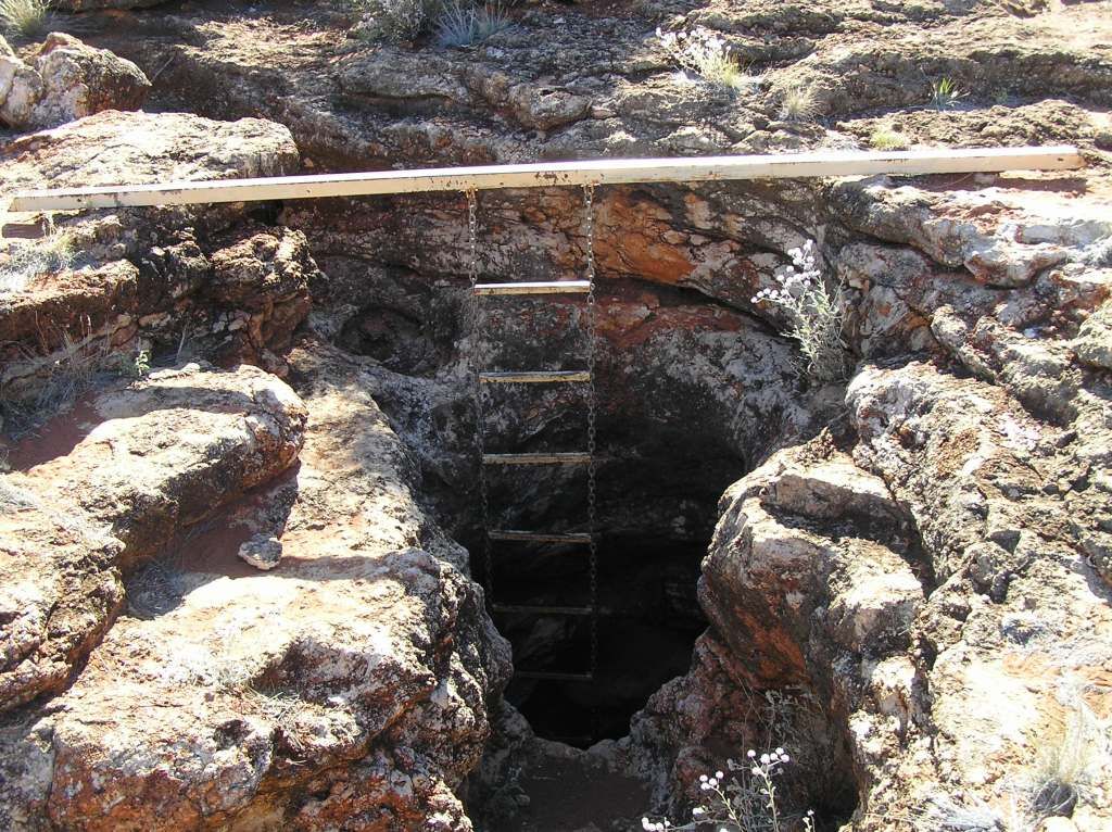
So myself and the girl got ready to plummet to the caverns depth
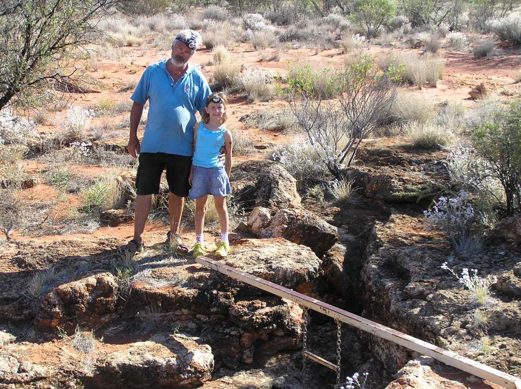
I’ve done a bit of caving in a former life, so descending cave ladders and the like don’t trouble me greatly. However, with the swing of the ladder I had concerns about the girl (and she was crapping herself) so she bailed out whilst I went to the bottom. It was about then I realised my headlamp batteries were all but flat. Being a good spelio, I had a backup in the form of a $5 led torch, and that did the trick.
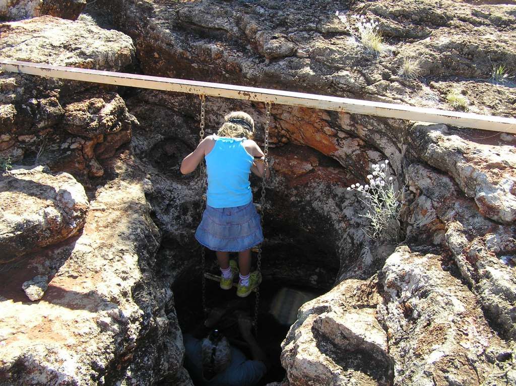
I was content at the bottom just looking around and absorbing the atmosphere. I didn’t need to go on hands and knees down the chamber to find the permanent spring with a failed headlamp and $5 led torch. So I noted all the fire scares on the ceiling and could only think of Carnegie and his party running a chain gang of buckets to the surface from the permanent source well below in the narrow chamber. I had water aplenty. Carnegie and his party would have been dead without this find.
If so interested, you can read Carnegies account of finding the spring here in chapter 5:
http://www.gutenberg.org/files/4975/4975-h/4975-h.htm#p5c5
So we made our way back to Tjukayrila for fuel. Their eftpos was down, so it was a scrounge to find enough cash for a full fill. 15Km’s out of Laverton and a group of indigenous are broken down on the side of the road. They ask for auto tranny fluid. I have a manual, so I have none. They ask if I can find the “white bus” near the airport and let them know they need 2L of dexron. Not even knowing where the airport is, nor the chances of finding a white bus, somewhere near there, we go into town and tell the local constabulary. The civy on the front counter laughs when I tell her my thoughts on the odds of finding a white bus. Then I relay the story of trying to find uncle ‘erbet in Finke and she is now in tears. She takes my number and passes the location onto the plods. I can now leave town and refuel at Menzies. I wanted to spend some time at Gwalia, but I spent too much time at Empress, so another on the to do list. We head out for Lake Ballard for the big girls birthday in the morning. Whilst I’m setting up camp, the girls go for a wander and take some funny pics for me to review once back at home.

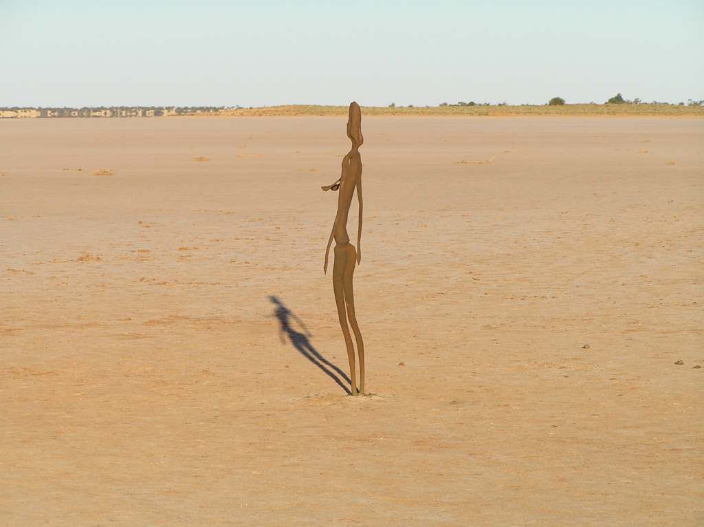
I haven't seen them until I arrive at home. You can imagine my laughter when I find this gem!

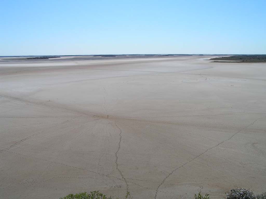
The following morn and its birthday time yet again, this time for the older girl. I take the non birthday girl for a climb of the island. From there you can see the multitude of footprints all heading out to the respective sculptures.
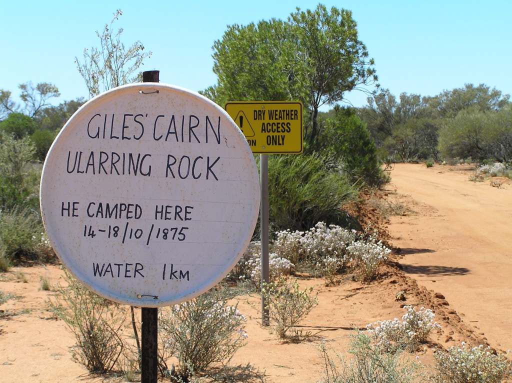
We then head off to pick up on Giles’s 4th expedition at Ularring Rock. Not to far from here, he found life saving water (after a 350 mile waterless trek across the desert) which enabled him to eventually make Perth. Ularring was the site of an intense attack from the local population. 5 explorers against over 100 natives. However the natives left their attack too late and cordite beats a spear. I had planned to camp here the night, but it was far too early and far too exposed. So I left a geocoin in the cache here that I had picked up at Poeppel’s corner. I thought it was a fitting tribute to Giles’s accomplishments.
So I had time to kill. I thought why not go to Ora Banda pub for a birthday lunch for the big girl (and earn some brownie points in the process). It was a hot 41 degree today. We made the pub, ordered lunch and a pint and enjoyed the simplicity of a birthday in the bush. And how about that, grass (not of the spinifex, triodia iritans, variety. Nice!)

We made Rowles lagoon for camp. The remainder of the trip home was almost a repeat of my 4 day exploration from 3 months ago.
Slowly but surely, the trip was drawing to a close. But I had a major dilemma to deal with: I didn’t want to go home, but I was running short of red woobler. The one thing I hate about traveling remote is the stupid liquor laws. Pt Augusta I was limited to one 2L cask per day (and no port before 1130 am....hic). When I next tried in Alice, you couldn’t buy till after 6pm. Yulara would only sell a bottle. I scored a cask at Curtin springs for the “stand up and deliver price” of $30 for a $15 product. This had to last me until I hit Southern Cross, where I eventually got to restock for the way home. I called into the Menzies pub to be greeted with a Scoobee Doo type of noise and then told “only in bottles mate! “ So a mental note to myself for next time- 5 Blocks and 4 x 4L casks aint enough to last 6 weeks away from the big smoke where stupid liquor laws apply. Anyway, back to the journey....
Rowles was pretty warm (41 Degs as we were told later, not that it felt that hot). The troublesome flies were at their best again. We sat in the shade in the relatively cool breeze for the afternoon. As happened to me at Ellery Ck in the West Mac’s, about to start a bush shower and the damn neighbours decide to do a fly past. A quick grab of the strides and inadvertent laughter was avoided. Like just about every night, we started to cook after dark after the flies had buggered off. Again, we were then hammered by minute little bugs. So much so, I removed the big camp light and put up a smaller, less bright one. That didn’t completely solve the problem, but certainly made it better. I’m thinking a dimmer may just well come in handy for future trips. Anyway, I liked the irony of the water level gauge on the lake:
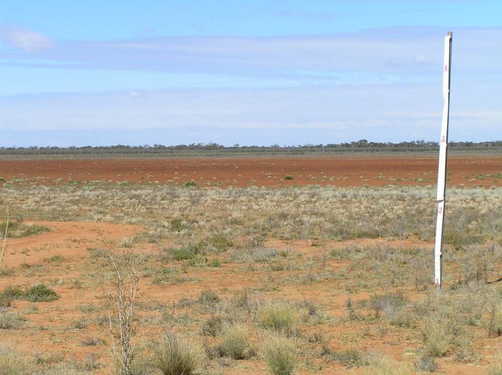
Water skiing is prohibited when the level is below 2M.....Guessing not many boats get towed out there!
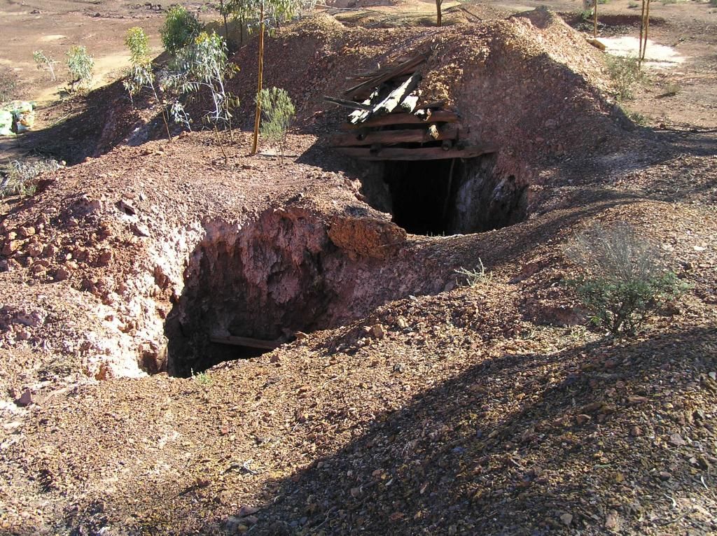
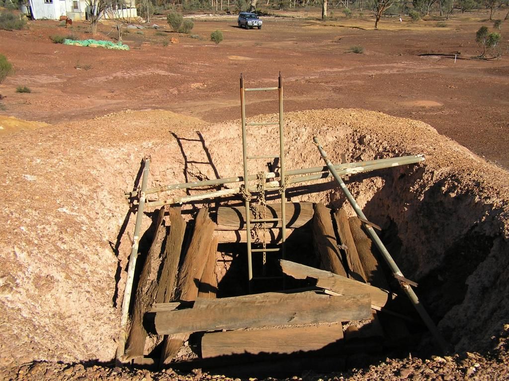
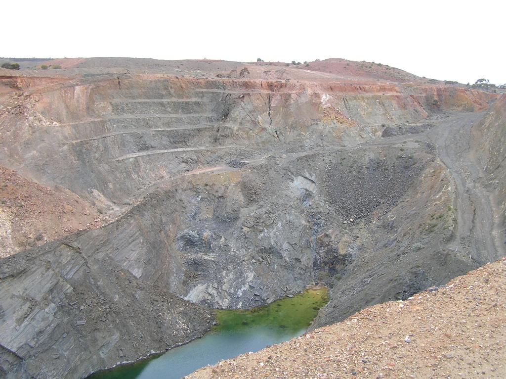
The next morning and there was a distinct change in the air and menacing clouds on the Eastern horizon. The plan was to take the girls to Walleroo. I called in there 3 months prior, this time I wanted to camp with the family. On the way, I spied the ruins of former goldfields activities and ventured in on foot and I was rewarded. I don’t know why, but I’ve always had a soft spot for investigating former gold diggings. In the good ole days, I spent quite a bit of time camping in the central NSW fields. I have even abseiled a few shafts in the former years. There is just something about the history and the hardships endured that get me in. I don’t swing a stick and I’m trying to resist this temptation, cause I feel I’m too young atm to develop gold fever. What makes this harder to resist is the fact I now work with a couple of people who get in on a bit of alluvial action. Walking (carefully) around the site, I came across 2 impressive shafts. One was a 45 degree incline with wooden ore cart tracks. Close by, a vertical shaft. I believe the two were joined as one at the 15M depth, but I had neither the equipment nor the courage on hand to prove this theory.
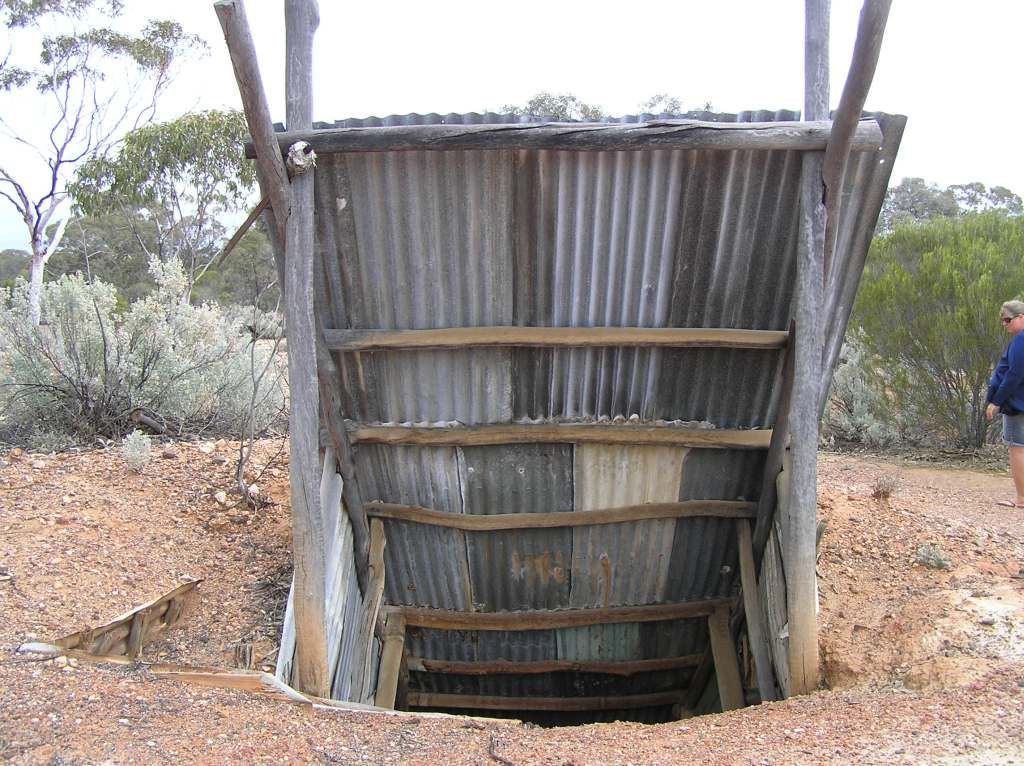
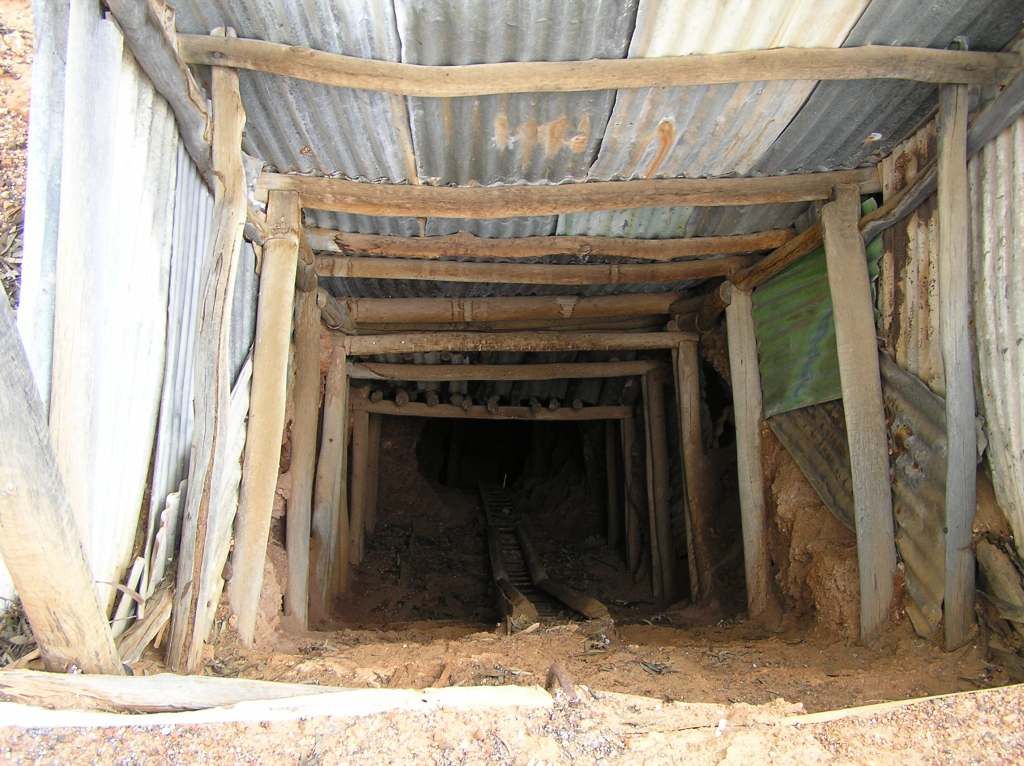
And the nearby vertical shaft:

The wind was blowing a treat by now, rain was imminent and I needed a beanie. The last 5 weeks had been spent in 30+ temps. I was feeling very unconditioned for the current climate. The house of comfort doesn’t need any Glen20 these days
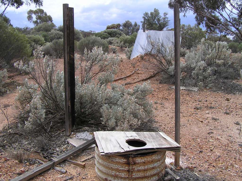
Making our way to Walleroo, I didn’t use this entrance at all ;)

(J – .....have you spoken to the Pastoral manager yet?)
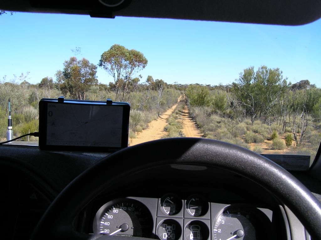
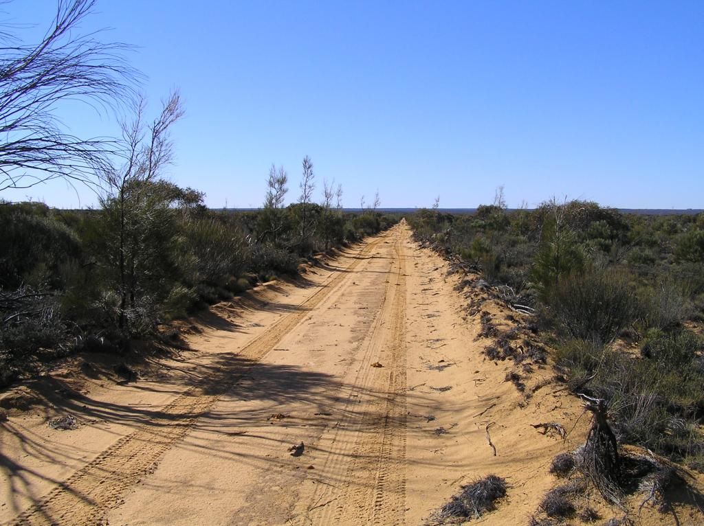
And then the drizzle/rain started. All I can hear is the road surface being flung under the car, and the xtrk logo on the Ulti’s bonnet is slowly being dabbed out in splotches of red/brown. I recall an information shelter at the intended site, and think I will use this for shelter for the night. Not that you’re supposed to mind you, however with the ulti all I will be leaving behind is tyre tracks, so I believe there is no harm done. We enter the sandy section and the rain gets heavier. This has the benefit of washing the mud off the camper. We arrive at the site, go for a quick tour and park up near the shelter for an hour or so. The rain shows no sign of letting up, so I set up the camper.
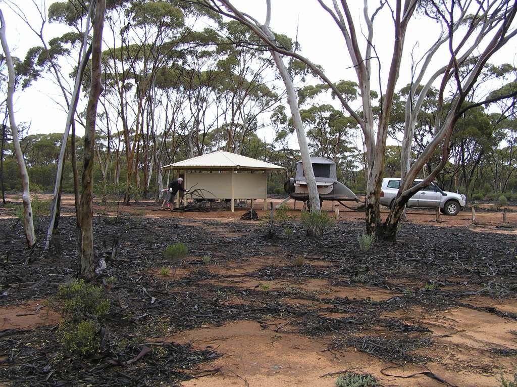
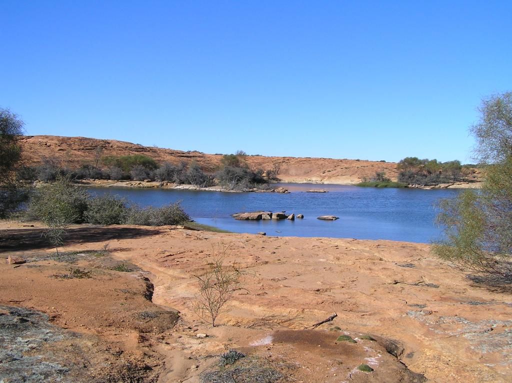
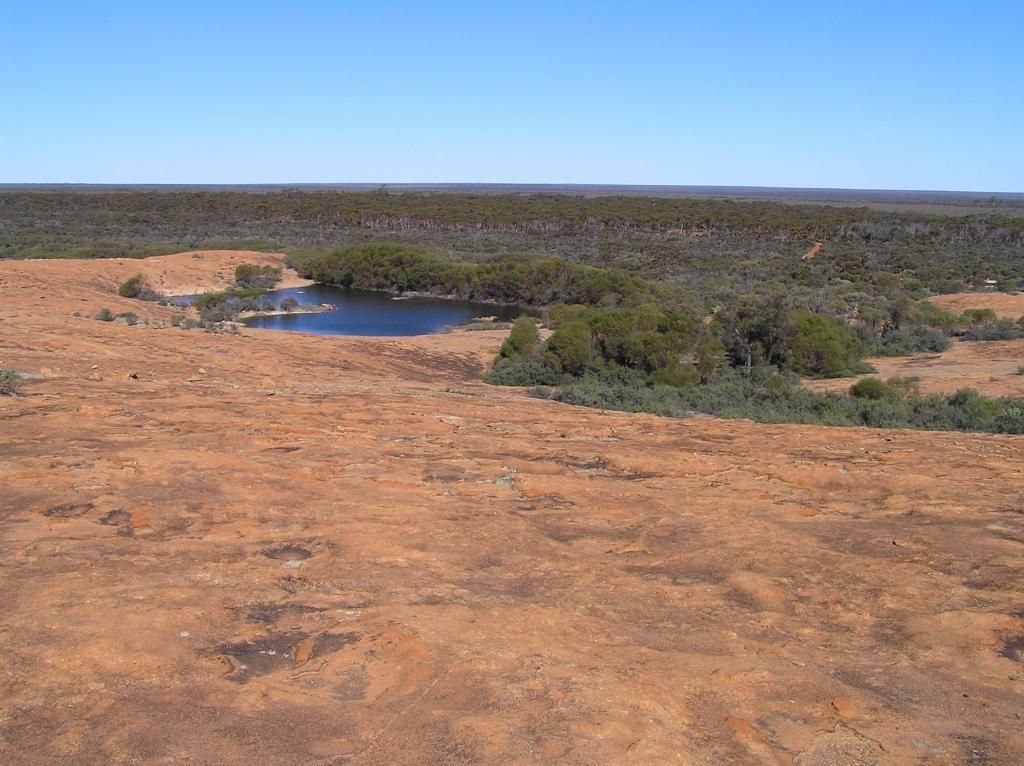
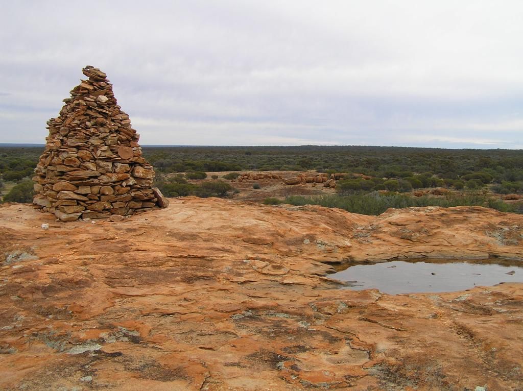
By 5pm, the rain had stopped, the clouds had parted and the sun was shining. That would be about my luck! Next morning, we crested the rock, checked out the dam and imagined explorers of yesteryear navigating from rock to rock, in the never ending quest to find the life giving fluid we found aplenty in the holes from the weather of the previous day.
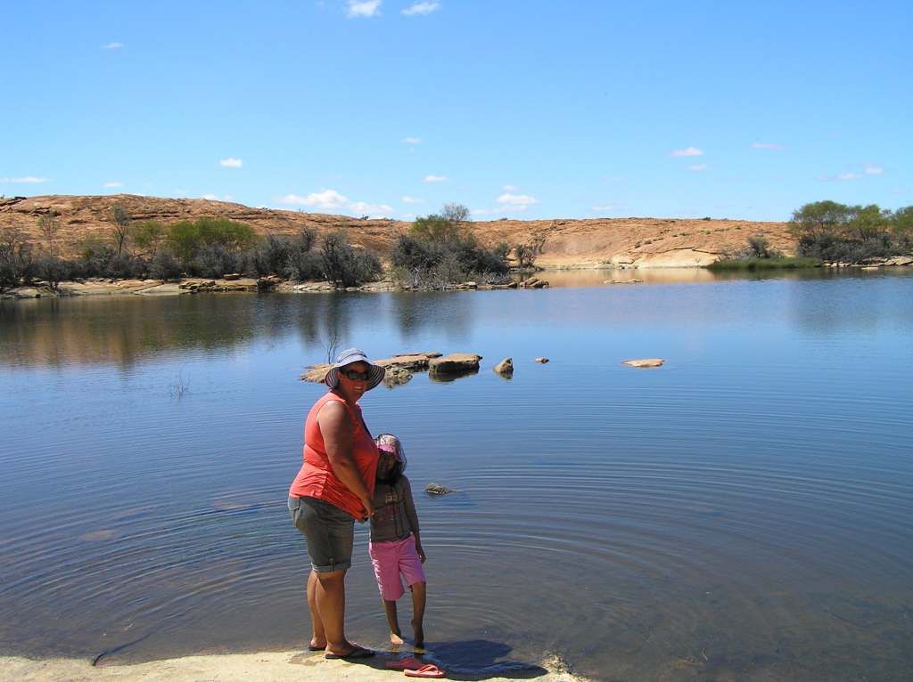
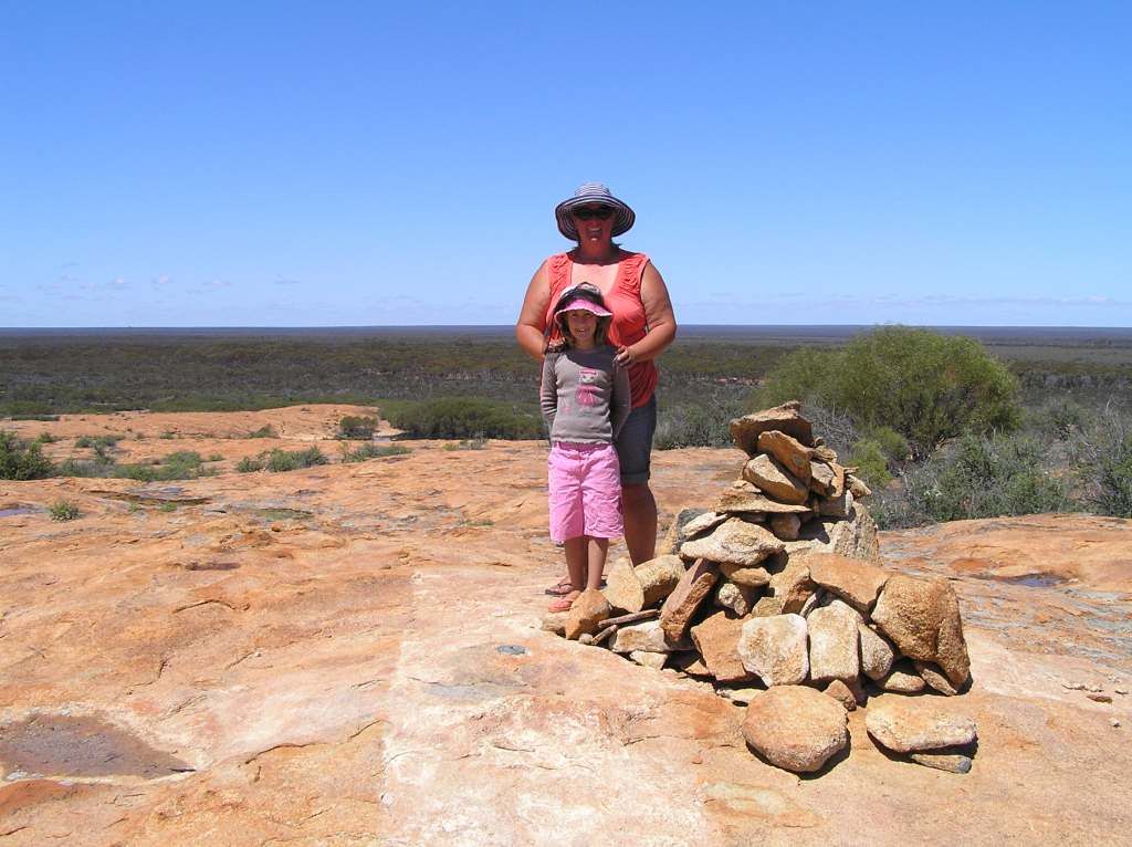
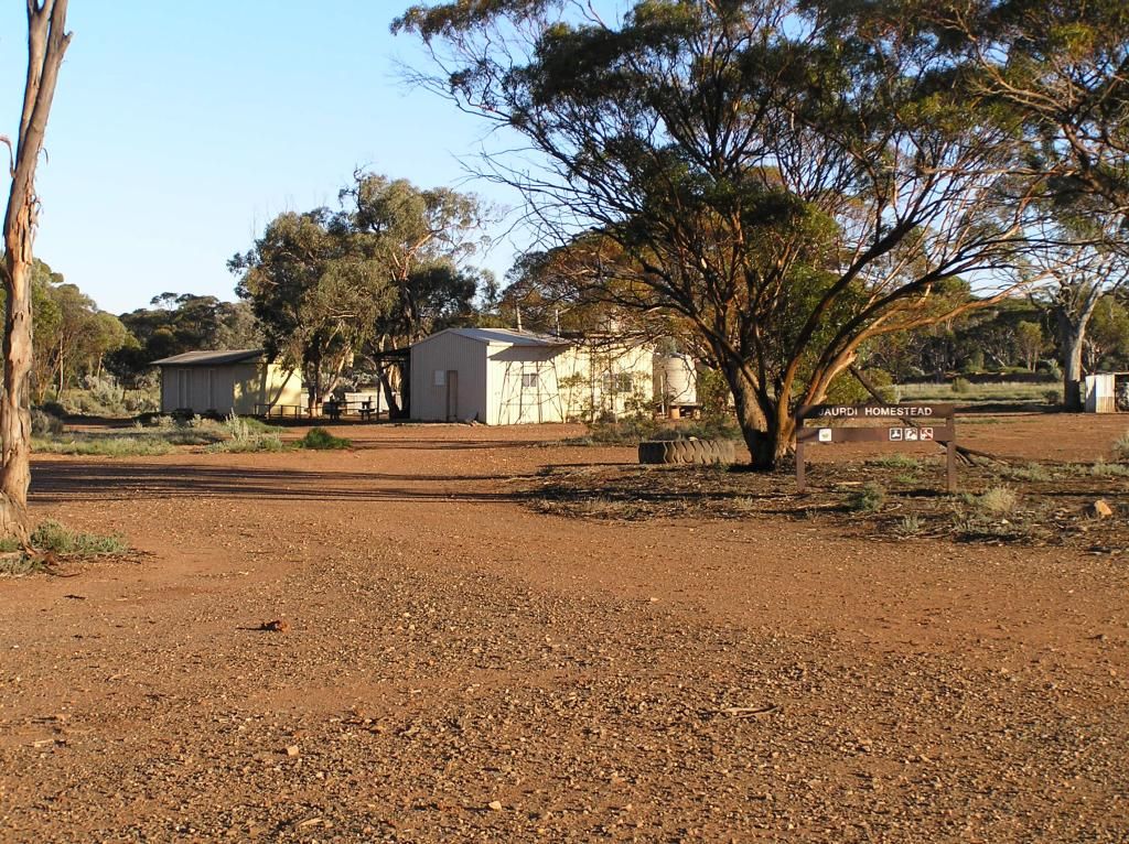
I would love to know the history behind this place. Evidence to me suggests the dam has been helped along by the hand of man. I suspect this was due to the rail line in close proximity. I am met with another dilemma......do I go to Jaurdi, a beautiful camp amongst the salmon gums, or venture somewhere different? I opt for the former, ‘cause I believe the family needs to see it. I wont mention the route from Walleroo, cause one is a haul road, one is owned by Westnet and one is long and unfamiliar.
6 weeks nearly done and I finally make use of the rhino racks for the first time by loading up with firewood:
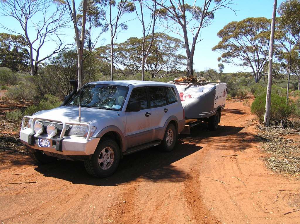
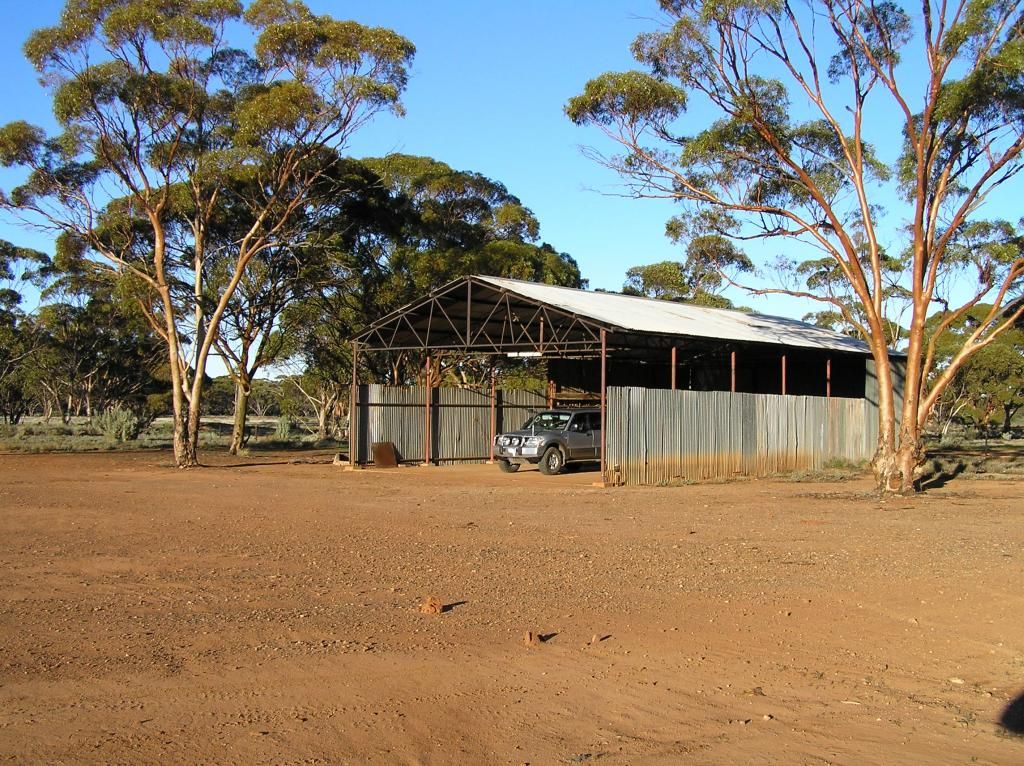
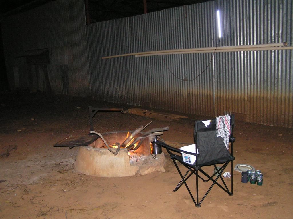
Ok, time to wrap this up. I arrive at Jaurdi and am somewhat disillusioned. I believe someone stayed here the previous night (going by all the mud from tyres now left in the shed). Some Wally has built a fireplace bang in the centre of the shed entrance. There is a perfect cast concrete fire pit to the side of the shed entrance, only 3 feet away. To top it off, all their unburnable rubbish was left in the now cold ashes and the dams had obviously been raided going by the Gilgie shells scattered about. But it gets worse. I find a mattress from the dorm has been moved and left in the shed. I also find a window in the kitchen has been left open, a bed from the dorm moved there next to the wood burner and obviously dickheads cant read: “Please take all your rubbish with you” which they have totally ignored. Seriously folks, DPAW (formerly DEC) can be criticised for a lot of things (bloody copper logs and lockouts for starters). However, here they have purchased a pastoral lease for conservation purposes and have given the public access to it. With crap like this, no wonder we get locked out. I’m still in two minds as to whether or not I forward this part of the report onto DPAW (Kalgoorlie). Sometimes, there are times when things left un-said is the better option. But then again, sometimes they need to be made aware that (I hope) the majority of us appreciate places like this and do things to keep it that way. What should I do? Do I tell and let them know some of us do covert remedial work to keep access to places like this open or do I keep shtum?

]
After setting up camp, we took a drive up to Wallangie soak, onto Mt Finnerty and back to camp via the Breakaway Mine. Nothing major, just a bit of afternoon sight seeing. I plan to come back someday to check out more of the property. We found an old hacksaw (not very old in comparison) so we placed it with the other olden day trinkets in the shed.
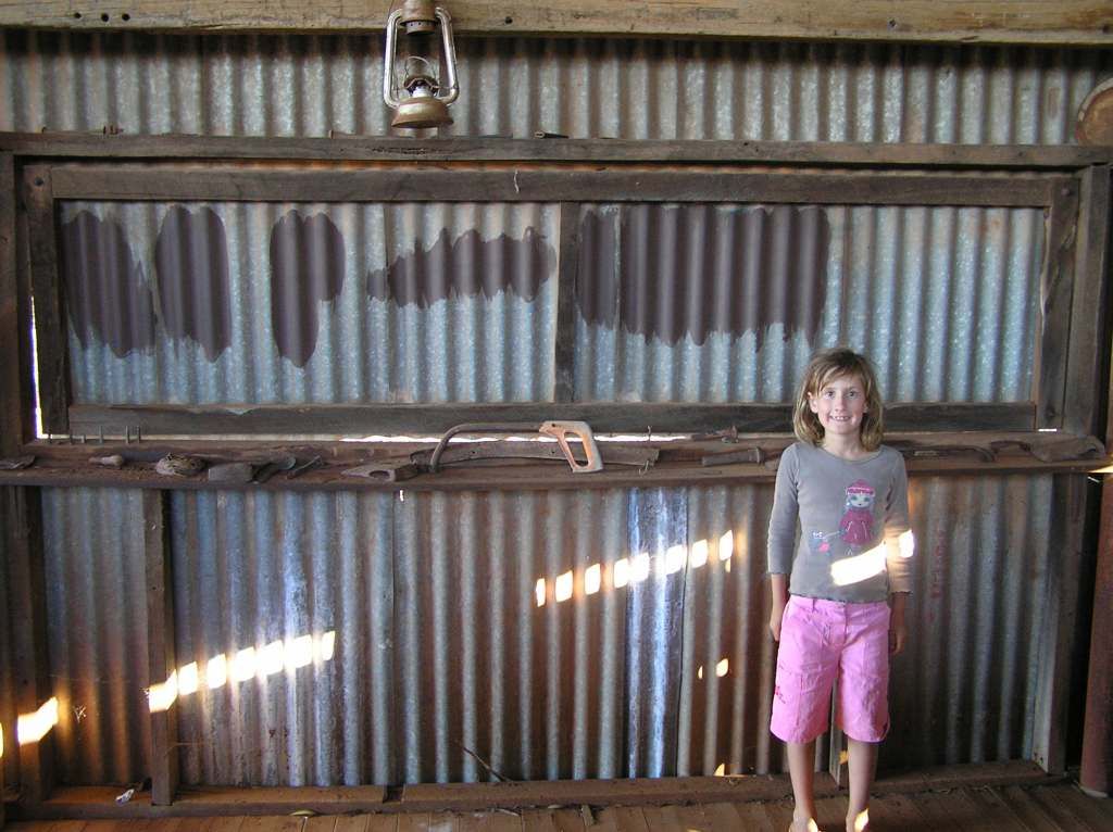
Next morning before departure, we left the place in a far better state than when we arrived. The fireplace was deconstructed, the ashes buried and the rubbish in the ashes taken with us. The mud (now dried into hard clumps of dirt) was swept out of the shed to the best of my ability. The bed frame in the kitchen was placed back into the dorm. The mattress from the shed placed back on the bed frame. The kitchen was swept out (not that we used the facility) and the window was closed up again. We left the place in a far more habitual state than when we arrived. The only thing I didn’t do was to remove the rubbish left behind in the bin as we were full up on rubbish. I’m sure DPAW will be happy enough only having this little chore to do (whilst shaking ones head about rednecks that can’t read). So we hit the tracks for the last camp of the trip. Stopping in Southern Cross for a roadhouse lunch and a cask of woobler (finally obtained, the last purchase being at Curtin Springs, it being a long time between drinks). Then we headed off to Baladjie. I had picked up a geocoin at one rock (Uluru) and wanted to drop it off at another, and Baladjie fit the bill perfectly. Being near the end of school holidays, I expected some company. We were pleasantly surprised to find only one camper there. So I kept going and found a choice spot a long way away from the other camper around the rear of the rock.

Myself and the young un made the pilgrimage to find the treasure, place the geocoin and climb the rock. Whilst it was still warm, the wind was howling, moreso at the summit. K said it should be Windy rock not Baladjie. Anyway, the rock pools were full and she had fun playing in them. At the summit, we waved to mum.
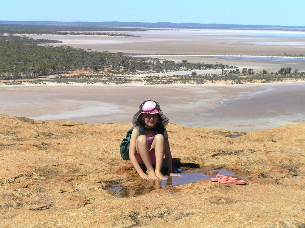
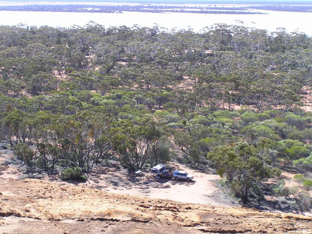
Next morning we did the final pack and headed for home. Then the fun begins. Wash, clean, unpack, maintenance and all the other chores that go with coming home after being away for 6 weeks. 2 weeks later, and I still haven’t finished, but there’s no rush. Now its time to put the thinking cap on to work out where to next?
So some stats for those interested (and for my own future reference).
Left on 1st September Arrived on 12th October
Travelled 9100Km’s
Consumed 1395L of diesel (and probably 2L of petrol for the one time the genny saw service)
Fuel cost $2750
Worst consumption was crossing the Simpson which stands to reason. That used 123L @ 23.4 L/100 over the 530Km’s from Birdsville to Mt Dare via QAA and French lines.
Worst cost per litre – Tjukayirla ($2.35 cpl)
Largest single fill – 146L at Yulara. The $325 bill hurt.
Accommodation fee's cost $560 (combination of van parks and camp grounds and is as best as I can remember the fee’s)
I blew out 1 pair of shoes
No tyres
One stone stomper mat
One brake light
3 anderson plugs
1 loose exhaust
1 fatigue fracture of a bash plate
1 failed reverse switch
And one failed fridge slide (that was about my lot in regards to maintenance issues, pretty good really considering the terrain)
I found 30 caches (+ I visited 2 I had previously found – Walleroo and Baladjie)
Consumed 5 blocks, 4 casks and 2 Tennessee honey JD's
Lent assistance to 3 roadside breakdowns
And followed parts of the journey of at least 2 early day pioneers
So that’s about all the useless, trivial things I can think off.
There is just so much more out there for me to accomplish. Where do you start? I hope you enjoyed the virtual journey with us and thanks for reading.
Record of trip log below: